All Activity
- Past hour
-
let all that fresh smoke in
-
 I'm going to partially disagree with a some things that have been said. Firstly, I think the onshore flow around the relatively cool HP is mostly this week. Then from what I'm looking at there is a fairly brief spell of warmer/hotter weather later in week #2 pending no significant tropical activity up our way. GFS thinks there will be some. Then it appears a fresh Canadian air mass drops southeast bringing possibly a spell of well below normal temperatures by sometime during week #3. After that I speculate purely based on the pattern that we may see one last or the second to last spell of heat as the ridge builds around on the return flow of that air mass probably not long duration but we'll see. All in all, it looks like an average to slightly above average August temperature-wise. WX/PT
 -
 We see triple digit heat mid august I say. The worst of it is NOT over just cause we're having a little break from the extreme heat/humidity first week of august. Many people are jumping the gun on second half of summer.
 -
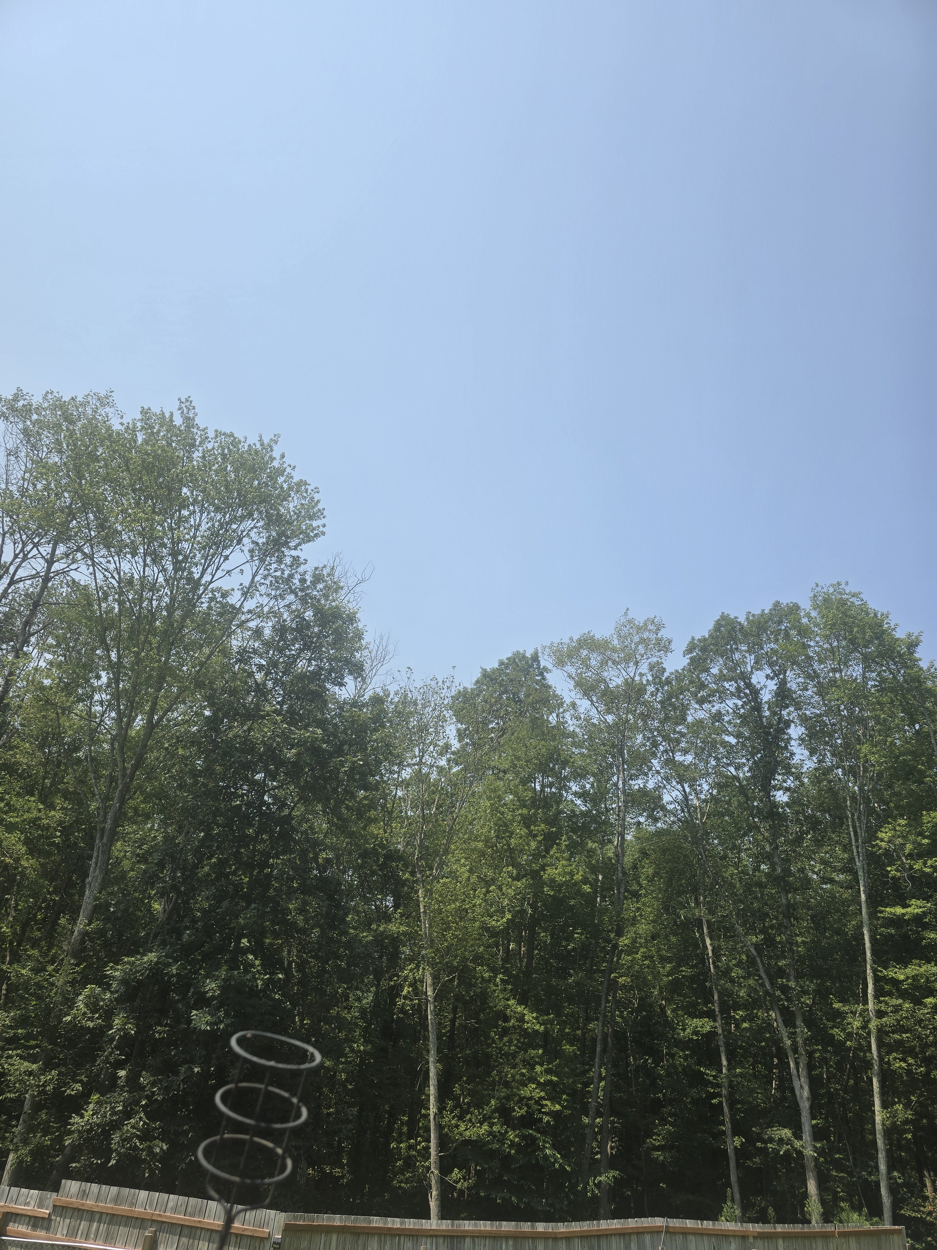
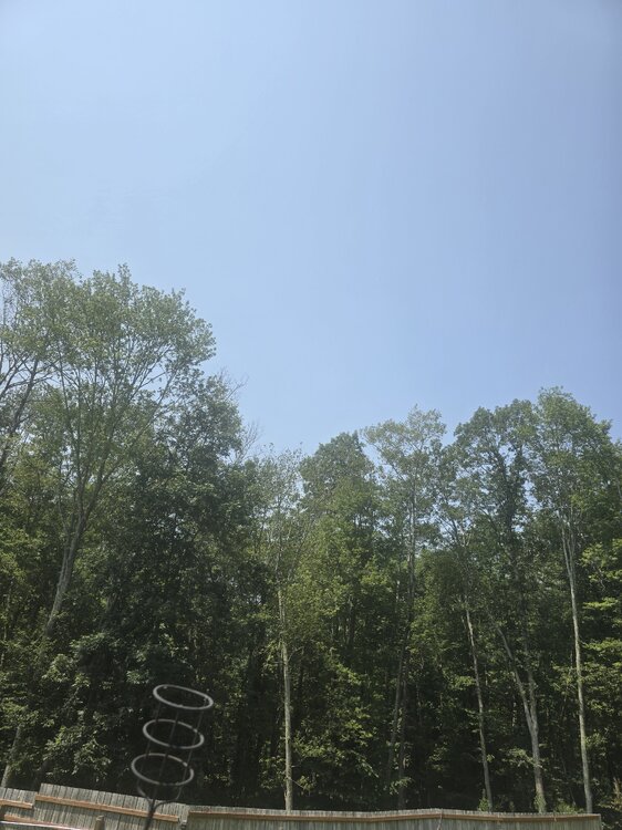
Smoke haze generally sucks, but silver lining in reducing the UV index, while we bone dry for at least another week here
-
3 hrs ago we smoke
-
You meant where there’s Coc k , there’s smoke, Dews don’t bring smoke
-
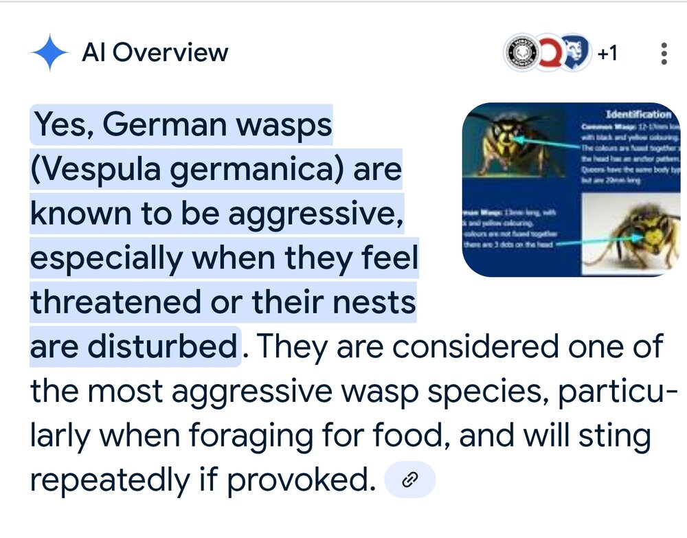
I had read somewhere that the german ones are more likely to nest in walls and the native eastern ones more likely underground.
-
My friend Keith said his friend at NWS said it was most humid July since 1933. I’m don’t know how that’s measured and recorded but that’s the info I got
-

2025 Spring/Summer Mountain Thread
Met1985 replied to Maggie Valley Steve's topic in Southeastern States
The magic of cold air damming: Three days ago, Asheville's low temp was 71 degrees, which tied a record for the warmest low temp for 7/31. Yesterday, Asheville's high temp was 71 degrees, which set a new record for the coolest high temp for 8/2. -
Dew point just briefly dipped to 49 at Dulles. Riddance of Hell Heat is wonderful Don’t spend the entire day with too much body heat. Damn sweat would not evaporate and nearly boiled
-

E PA/NJ/DE Summer 2025 Obs/Discussion
The Iceman replied to Hurricane Agnes's topic in Philadelphia Region
Yeah drought guy will be making an appearance by next weekend. Long range pattern looking dry barring any tropical systems. This week should be beautiful. - Today
-
That is absolutely wild. Only .11” over here!
-
Maybe you guys dont have them up north...yet. I'm referring to these... https://en.wikipedia.org/wiki/Vespula_germanica They are the most aggressive wasps out there. I work with people from Mexico, Peru, Ecuador, etc. They claim afrancinzed bees are tame compared to them...
-
Antarctica like?
-
 Thanks. No, I don't have a boat. Perhaps when I retire, I'll get one.
 -
On the Pike heading towards CT. From our house to here the smoke has been pretty thick. You can smell it at times.
-
GFS takes a weak tropical storm over the Cape.. If we can keep that off the coast it could be fun
-
After the prior 3 full UKMET runs showed an MDR TD this week per their textual output, the last 2 runs for the record haven’t had it fwiw. The last two runs instead develop it well north of the MDR. This is from the latest (12Z): NEW TROPICAL CYCLONE FORECAST TO DEVELOP AFTER 156 HOURS FORECAST POSITION AT T+156 : 30.8N 50.0W LEAD CENTRAL MAXIMUM WIND VERIFYING TIME TIME POSITION PRESSURE (MB) SPEED (KNOTS) -------------- ---- -------- ------------- ------------- 0000UTC 10.08.2025 156 30.8N 50.0W 1016 27 1200UTC 10.08.2025 168 34.2N 49.9W 1016 28 —————————— Edit: Whereas the odds of it getting all of the way to the Conus are almost always not high if it actually becomes a TS well out in the MDR at this far out stage, the concern I have is that the MJO may then get stuck in phase 2. That has by a significant margin been the MJO phase (whether inside or outside the circle) when the most (major) hurricanes have hit the Conus during the months July-Sept. for the period 1975-2024. So, even if this one fails to threaten, there may be others to watch. I hope to post more about that later. Regardless, it’s still very early and there’s no need to get overly worried. The risk to the US may actually be higher if it were to stay weak E of the Caribbean.
-
 it mixes the smoke to the surface away from the sea breeze
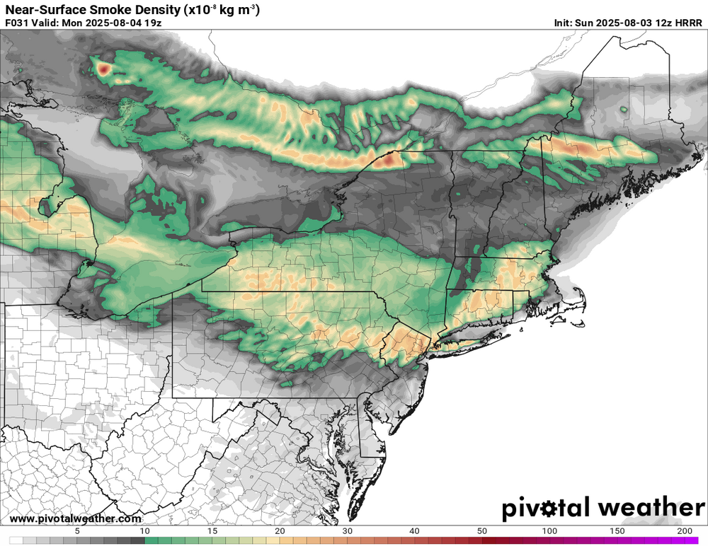
-
 See above added Morgantown and Hopewell....the stations analyzed are now only 34 feet higher on average than in the 1970's
 -
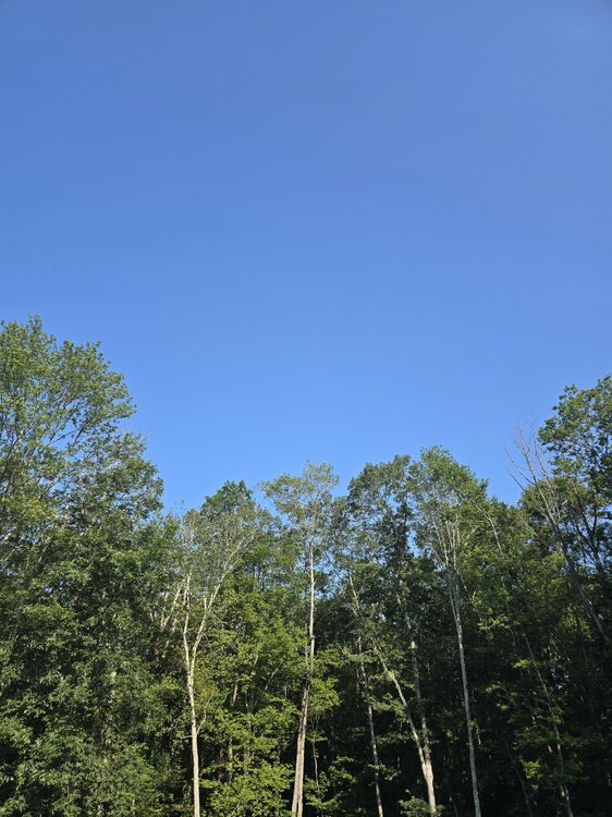
Hazy here.
-
 HRRR says smoke should rotate down into our area tomorrow. Shouldn’t be bad near the surface but enough to make it hazy.
 -
I'm not a fan either, had a nest behind a shutter when I went to take the shutter off to paint i got nailed, mostly arms and hands got stung.
-

Chester County PA - Analytical Battle of Actual vs. Altered Climate Data
chubbs replied to ChescoWx's topic in Climate Change
I get 339' in 1970: Phoenixville- 105, Coatesville 1SW - 342, Devault - 360, West Chester - 440, West Grove - 449.