All Activity
- Past hour
-
Bam, Bam, Bam!
-
LWX mentions the big south trend in their afternoon disco!!! Meanwhile, another disturbance will emerge out of the West Coast trough and rapidly track up over the central US ridge Thursday into Thursday night, before diving east-southeastward toward the Mid- Atlantic on Friday. Guidance has shifted significantly southward with the track of this system with each of the last few model runs. As a result, many solutions now show wintry precipitation across the northern half of the forecast area (roughly I-66/US-50 northward). Of the solutions that do have wintry precipitation, most favor freezing rain and sleet, but some snow can`t be completely ruled out depending on the ultimate track of the system. The upstream flow pattern across the North Pacific (from which this system will originate) is highly complex at the moment, with critical pieces that will come together still to the west of the California coast, in the Gulf of Alaska, and in the Bering Strait. Another closed upper low to the west of Hawaii will likely also have a major impact on how the West Coast trough evolves. As a result, there could still be significant shifts with respect to the track of this system over the next few model runs, and confidence in the forecast is much lower than normal for five days out.
-
 Well to be fair, Christmas Day is still forecast to be above normal up here but by less than it looked thankfully!
 -
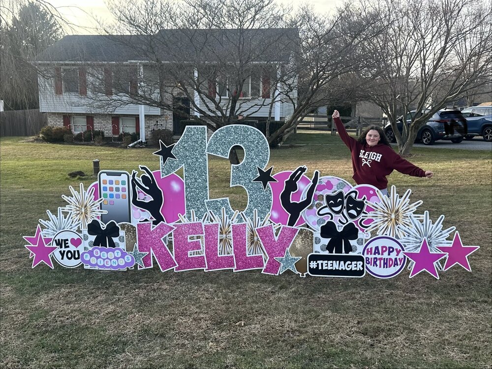
Friends, if you are looking to embarrass your kids, I highly recommend getting a giant sign installed in your front yard for everyone to see all day long and especially at the end of the day when buses are going by your house with kids on it who know your now teenager.
-
 And two weeks ago some on here were touting the torch for Christmas week. I've found looking ahead past ten days is very unreliable and just spoils the here and now.
 -
So January cancel is uncancelled? Shocker.
-

White Christmas Miracle? December 23-24th
moneypitmike replied to Baroclinic Zone's topic in New England
Good writeup from GYX Snow begins to enter southwestern New Hampshire in the 8-9 am window Tuesday morning as surface low pressure approaches the region from the northwest, dragging a warm front up from the southwest. Snow will then gradually overspread the area from southwest to northeast entering southern Maine, closer to the 1pm hour. Rates are expected to be generally light as forecast soundings now suggest minimal negative Omega values within the DGZ. However, with profiles also well below freezing the snow character is expected to be on the fluffier side so it likely accumulates efficiently. This may lead to some travel impacts,particularly in New Hampshire, as early as late morning and early afternoon. Timing for impacts in Maine start later, buteveryone should expect a less then ideal evening commute. We are generally looking at 2-5 inches across the area, with locally higher amounts, 6-8 inches, on the central Maine coastal plain. The lower end amounts look to be in southern and western New Hampshire as these locations end up on the outer fringes of the deepening low. On the note of the locally higher amounts, guidance has had a consistently strong signal for the low deepening and closing off as it moves off the coast setting up an inverted trough back across Maine. This has the look of a Norlun trough setup as onshore winds will funnel moisture off the ocean into the trough creating a locally higher band of QPF somewhere along the Maine coast. Models have been trending up with this locally higher QPF footprint in the range of 0.5-0.75 inches, and with snow ratio on the order of 12- 15:1 this could easily produce warning level snowfall. Norlun troughs are notoriously finicky withtheir footprint, sometimes being as much as 40 miles wide, but on the other extreme they have been as small as just impacting a few towns. They are also notorious for really putting down the snow where they do form, so it is not out of the question for someone to end up with snowfall nearing a foot or more, but again this would likely be isolated. Due to the uncertainty, I`m not eager to upgrade the watch this forecast cycle, but the footprint is good. Hi-res models are locking on to the formation of a heavier snowband moving up the coast with soundings showing much more negative Omega through the DGZ, that could push rates 1-2 inches per hour. The fortunate thing is this looks to occur mostly late Tuesday night which should help keep travel impacts to a minimum and allow snow clearing operations to be unimpeded. The take away should be 6-8 inches with isolated higher amounts near a foot possible within the current Watch area. I did go ahead with the Advisories as this is higher confidence and didn`t want to ignore the rest of the area due to the uncertainty along the coast. -

White Christmas Miracle? December 23-24th
WxWatcher007 replied to Baroclinic Zone's topic in New England
One of the greats. Literally woke up unsure if I’d even see snow. I think I’ve only had two 12+ events since moving back to CT in 2018. Brutal. -
That was the great skunking for Eastern Mass. Sunday evening every model was predicting a foot of snow for most of SNE, the 12Z model suite (and maybe some of the 06Z suite) started backing off of it and by 18Z it was gone north and east of Connecticut. This was the BOX AFD from 1614 on Monday for a storm on Tuesday: Well, I'll get right to the point with this update, there's been a big change to the forecast this afternoon based on a remarkably late but notable trend in the 12z/18z guidance which now keeps the bulk of the snow centered over the south coast of southern New England. This change is due not only to a southern shift in the track of the low but also a notable shift in the 500 mb trough; with a slower and less amplified solution and the northern and southern stream energy failing to phase/strengthen as they pass through the region. This shift has notably moved the zone of mid level frontogenesis to the south, and since we typically see the best forcing/banding to the northwest of the maxima this places southeast MA/Cape Cod and southern RI in the bullseye. BUFKIT soundings do indicate decent omega (forcing for lift) within the dendritic snow growth zone further north into MA, so we should still see some decent snowfall there, but the maxima looks to be south and east. While this is remarkably late in the game for such a relatively big shift, nearly all of the 12Z guidance including the 12Z ECMWF, 18Z NAM, 18Z HRRR and more show it. At this point, of course, most of the schools had canceled classes for Tuesday, a bunch of events were canceled, and the next day, aside from some minor accumulations on grass, anywhere northeast of Connecticut had a reasonably nice day. Toaster sales, however, were through the roof in the Boston area!
-
Hey Don I may be mistaken however did this storm occur during a slightly negative PNA? January 27/28 2004.
-

December 2025 regional war/obs/disco thread
Kitz Craver replied to Torch Tiger's topic in New England
That thing has been on a TJ tequila bender for what seems like years -
Thanks. There's opportunity with Canada remaining cold.
-
Absolutely. Give me the classics that my parents raised me on.
-
White Christmas Miracle? December 23-24th
Kitz Craver replied to Baroclinic Zone's topic in New England
GFS, blind squirrel finds its nut? -
Jan 2022 is an analog.
-
December 2025 regional war/obs/disco thread
moneypitmike replied to Torch Tiger's topic in New England
And Sparky lyle….first reliever to get the cy young award. -
White Christmas Miracle? December 23-24th
Kitz Craver replied to Baroclinic Zone's topic in New England
Happy the NAM is moving in the right direction with this. If it was steadfast in skimping SNE I’d be waving the Bruce Willis flares -

Central PA Winter 25/26 Discussion and Obs
paweather replied to MAG5035's topic in Upstate New York/Pennsylvania
I’m liking this! Thanks Chris -
It reminds me a little of January 2022
-

December 2025 Short/Medium Range Forecast Thread
GaWx replied to John1122's topic in Tennessee Valley
This is one of the biggest and most widespread changes toward colder on the EPS mean when going from 2 weeks out to one week out. In reality, most of the colder change has been just since the Friday runs! It’s all because the -NAO got much stronger and pushed back from the NE despite the strong Aleutian ridge remaining! -
(002).thumb.png.6e3d9d46bca5fe41aab7a74871dd8af8.png)
E PA/NJ/DE Winter 2025-26 Obs/Discussion
ChescoWx replied to LVblizzard's topic in Philadelphia Region
As we talked about earlier the forecasts have changed significantly for Friday - per the latest AFD The updated forecast now has highs on Friday in the mid to upper 30s for the I- 95 corridor and west with mid to upper 20s in the Poconos. Areas south and east of the I-95 corridor have highs in the low to mid 40s. Wintry precipitation is now the result for much of the area for at least part of the timeframe from daybreak Friday into Saturday. Mixed precipitation may make it as far south as parts of Delmarva. Warm air looks to gradually filter in through this event which would cause a changeover to rain. Right now, the best potential for this to be a mainly rain event looks to be in parts of Delmarva and southern New Jersey. There is a large amount of uncertainty with the forecast for Friday into Saturday and trends will need to be monitored. Uncertainty remains through the weekend but there are indications that the forecast stays unsettled. -

Pittsburgh/Western PA WINTER ‘25/‘26
colonel717 replied to Burghblizz's topic in Upstate New York/Pennsylvania
Looks like the area could see some brief snow moving in if it doesn't dry up as it gets here.
-
Been a while since the coldest air in the hemisphere has been on our side of the pole. We’ll see how things play out as we move through early January.
-

White Christmas Miracle? December 23-24th
Damage In Tolland replied to Baroclinic Zone's topic in New England
Heavy heavy snow -
 Totally bogus. We will have up and down temps until the second week or January then looking colder after that.


