All Activity
- Past hour
-
Down go 9 days!
-

2026-2027 El Nino
40/70 Benchmark replied to Stormchaserchuck1's topic in Weather Forecasting and Discussion
-
Down at Sanibel Island FL and the scars from Ian are still evident. Lots of dead trees from the surge and broken palms. Also lots of new palms planted held up by stilts at the condo complex we are staying. The whole first floor of the place was destroyed, but they had no power for 8 months so even on the other floors, the mold build up meant everything had to go. The couple at the pool who owns here joked and said the place was 40 years old and needed to be upgraded anyways…but laughed saying he didn’t expect it to be this way.
-
2026-2027 El Nino
40/70 Benchmark replied to Stormchaserchuck1's topic in Weather Forecasting and Discussion
Exactly the type of analogs I was speculating on. 2002 is similar, but obviously weaker. I think the issue will be the NAO...1991-1992 was awful because it was the only strongly positive NAO/weakly -PDO, which we may very well have this year. -

Central PA Spring 2026 Discussion/Obs Thread
mahantango#1 replied to Voyager's topic in Upstate New York/Pennsylvania
-
This is the objective analysis page from SPC for upper levels. I don’t have the reanalysis for anomalies off hand, but I’m sure I can do some digging for you in the coming days while on night shifts. I’ll post anything here if I find it!! https://www.spc.noaa.gov/obswx/maps/
-
No I was on that train, I just wanted to give you shit. That was one post and then I mentioned it will suck.
-
Solid Steiner today
- Today
-
Remember back in early April some thought the weeklies were bullshit @Brian5671 @jbenedet and you?
-
I'll take any rain I can get! I've been trying to establish a new lawn these last few weeks, and it has been tough
-

Central PA Spring 2026 Discussion/Obs Thread
pawatch replied to Voyager's topic in Upstate New York/Pennsylvania
46 degrees Some rain showers but so far we seem to be avoiding the worst. -

Central PA Spring 2026 Discussion/Obs Thread
Mount Joy Snowman replied to Voyager's topic in Upstate New York/Pennsylvania
Low of 44 upon leaving the house. No rain yet. -
Winds howling yesterday caused a house fire 3 houses diwn to spread to a second home. Was so bad watching it unfold.
-

E PA/NJ/DE Spring 2026 Obs/Discussion
PhiEaglesfan712 replied to PhiEaglesfan712's topic in Philadelphia Region
March and April have been really warm. Like over +5 to +6 temperature departure at PHL. It was bound to revert to the mean. I don't think it's going to be that cold, but May is going to be much closer to average temperaturewise, and probably more wet than March and April. -
Decently heavy rain
-
WB OZ EPS for weekend.
-
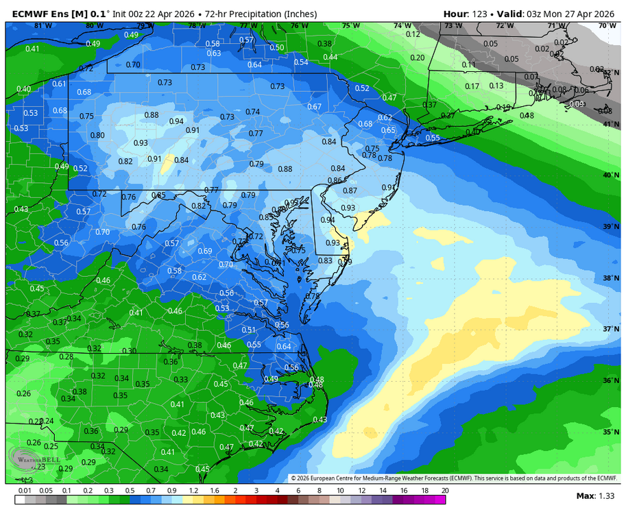
Potential for a large scale severe weather event from the Lakes southward into the Mid South appears to be increasing for Monday (4/27, go figure) based on recent model guidance. EML looks potent across a large area with plenty of moisture, a favorable trough ejection (as of now), and strong shear across a large expanse of real estate.
-
Even in N burbs of DC, as low as 24 Tue AM. This is after the low 90s last week. "Wx whiplash!"
-

E PA/NJ/DE Spring 2026 Obs/Discussion
RedSky replied to PhiEaglesfan712's topic in Philadelphia Region
25F for the morning low Sleet in Philly, cold weekend coming cold wave after cold wave lined up GFS has highs in the 40's to only near 50 for much of the first week of May, normal high for May 1st is what near 70F What is going on -
"Sizzle?" LOL. I haven't heard that term used since WSI! And it went one step further, "ALL SIZZLE AND NO STEAK!" The storms the other day surprised me b/c it looked too too cool w/ the high wedged pre-frontal for any TS, but pulled a fast one at the last minute! And from radar, it looks like Weymouth got two decent cells.
-
Never put in flowers until May 1. I can usually run outdoor shower April 1-Nov 1. Needs to get into deep 20s for that to freeze…but I did sweat it for two nights a few weeks ago
-
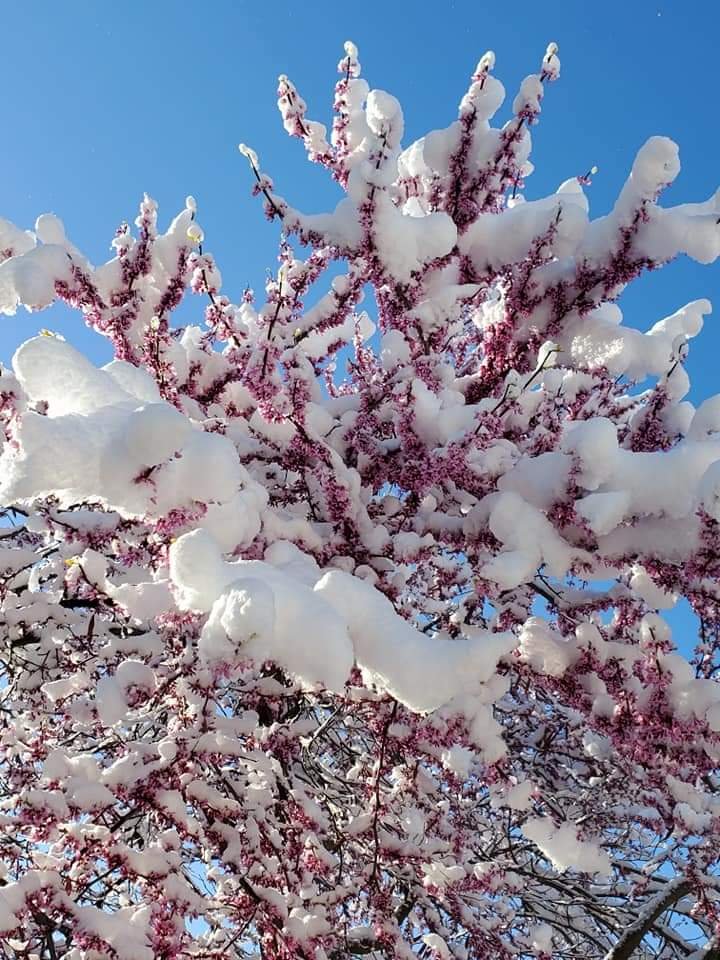
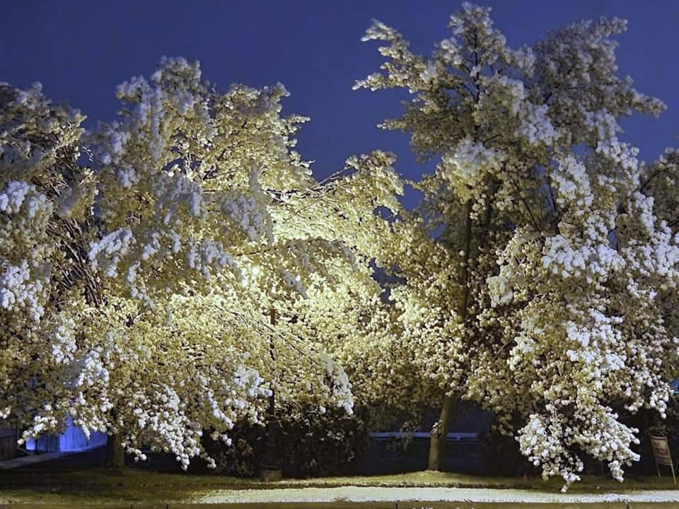
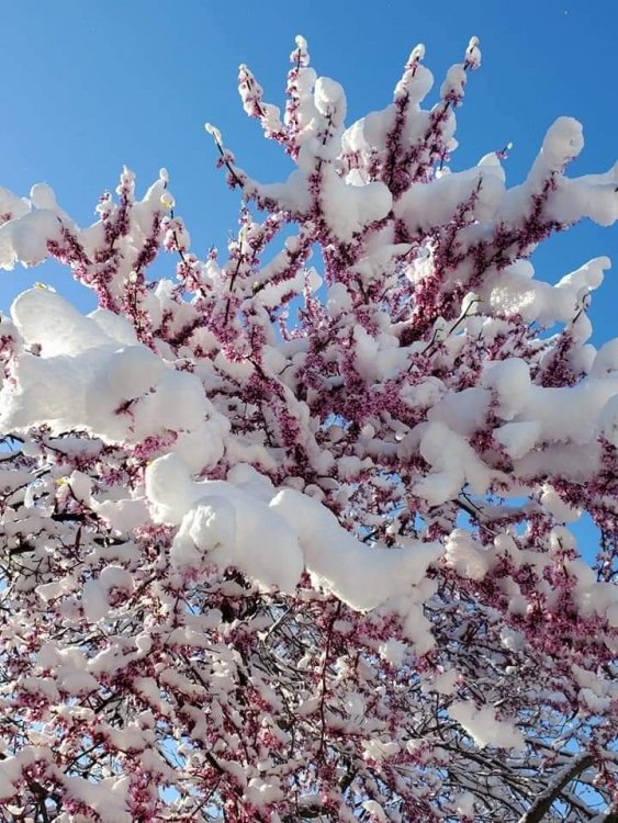
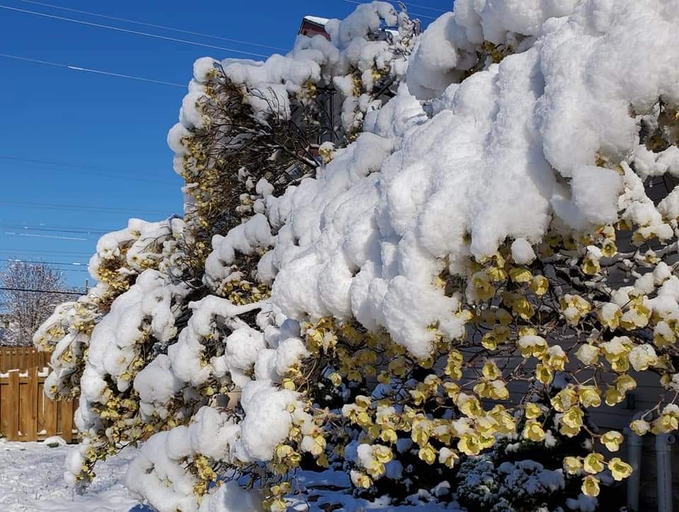
5 years ago today. Tuese were some amazing winter/spring clash scenes. 4.4" of snow fell here, 3.6" DTW but near 6" on the MI/OH border.
-
Isn't this what the Twister movie was trying to do w/the balls, film inside a tornado or something? This guy done it w/his drone...cool footage.
-
 HIPPYVALLEY changed their profile photo
 -
lol, the Nats man. They have MLB's best offense (in terms of runs scored), and the 2nd worst pitching staff (in terms of runs against). They are fun though - feels like the score almost every inning (and allow runs in every inning) lol