All Activity
- Past hour
-
On December 3? .
-
This hard freeze is pretty impressive looking.
-
ICON looks similar to the NAM precip distribution wise.
-
Possibly each of us with our own chapter? Stay calm and lucid ….. as always …

-
Had constant SN from 7:15 AM thru 11:30 PM as the temp slowly climbed from 17 to 23, finishing with 6.9" on 0.49" LE, 14:1 ratio. However, it was like 2 different storms; by 4:30 we had only 2" of tiny flakes. I didn't take a core then, but it was like walking on cornmeal, probably no higher ratio than 8:1. Then the dendrites began to look better and by 9 the total was 5.2" on 0.43" LE, probably close to 20:1. The board held 1.7" this morning with only 0.06" LE and given the fluff, the post-9 PM might've been 2" if I'd gone out at midnight. Very little wind as of now, so the fir and hemlocks are loaded.
-
This past storm trended more amped all the way up until the storm.
-
Thankfully the soil temps wont be a problem. Its been cold!
-
I think you both are talking about how the euro nailed Sandy
-
I can barely remember yesterday so maybe your right. I swear the storm I’m thinking of though was pretty much a whiff south till it beefed up enough but maybe I’m just imagining things.
-

December 2025 regional war/obs/disco thread
Damage In Tolland replied to Torch Tiger's topic in New England
I can take getting ram rodded in the shed . It happens with wx and I get it. Usually I find some way to get at least some snow or ice here. 32 point something all day with rain . But this one spread both cheeks wide open , and inserted the weed whacker and then turned it on. -
6z ECM has 0.10 to 0.15 liquid on Friday for our area. Not much support. The Canadian/GEPS shows a weak Norlun signature on Sat. morning. Weak overrunning can sometimes trigger precipitation much further north than anticipated... but virga is the likely result.
-
Are you talking about Jan 2024? From 3-5 days out they were progged to hit PA and ensembles only had us at an inch or less, then they shifted south to give us the max.
-
Since no one has said it yet….. Rates will overcome!!
-
The storms I’m recalling moved north cause they were originally looking weak and flat then they amped up enough to hit us
-

Winter 2025-26 Medium/Long Range Discussion
Frog Town replied to michsnowfreak's topic in Lakes/Ohio Valley
The ENS have corrected cold too many times this fall and early winter for me to believe this. Two weeks ago, they had it torching around here. WE shall see I guess... -
Believe me it will be cold and very active. I think we get a few shots of winter precip this month.
-
Difference is they both trended south from above. We need a north trend on this one. If that trough over northern Maine can move out a little quicker, we can reel it in.
-

December 2025 regional war/obs/disco thread
Typhoon Tip replied to Torch Tiger's topic in New England
yeah just ranting a bit this morning. This last storm was an offset bust. It annoyed me. Also, commenting that less folk seem to notice when these partial offset pieces of shit storms happen - which I argue is most of them in recent years. I think it's because they saw it snowing at all - not you.. I get it. Heh, you were probably circumstantially/uniquely screwed based on what you were describing yesterday. Anyway, and that suspends their analysis -
This kind of system reminds me a little of the two systems we got like 2 years ago I think that trending from nothing to a 3-5” event across the area. Both really showed up inside 48hrs. Let’s see if we can reel this one in.
-
might be that I didn't actually measure here, and what I saw was already compacted. Plus from what I am seeing online, reports 8-9" all around here. so it could be correct, and I could certainly be wrong.
-

Central PA Fall Discussions and Obs
Itstrainingtime replied to ChescoWx's topic in Upstate New York/Pennsylvania
Outside of some showers the GFS looks really dry over the next couple of weeks. -
Man K street in D.C is where all the action happens
-
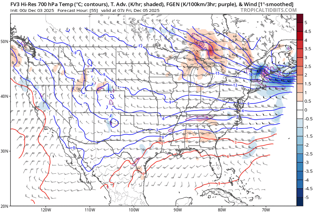
Definitely some better lift at 700 and 850 on the 12Z FV3 for northern third of NC, especially western half. Probably will be the keys to how strong these levels will be and ultimately precip. Just my opinion.
-
We may have to toss December
-
 So any updated head count?


