All Activity
- Past hour
-
I agree, just making a joke. Lol
-
Slow start here but steady mod snow now. Closing in on an inch but not there yet. Looks like the next 3-4 hours will be the bulk of the heaviest snowfall for me. 5" seems like a stretch though. 3-4" seems reasonable
-
-
Yeah I think that's exactly what's happening, also related to why this storm came further north than it was supposed to a few days ago. The HP seems to have been slower getting into place than originally modeled. You can see the dry air eating away the returns on the northern side as it's pushing South. The 3k NAM has precip eroding all the way back to 64 at one point this afternoon before the coastal takes over, but I'm choosing to ride the HRRR lol
-
Cold December day. Ice forming on ponds. Reminds me of the 70s.
-
Thanks for proving my point.
-
Well-good thing is that Mother Nature couldn’t care less what a bunch of weenies on a weather board post or try to “force”. We have no power over it. It sucks watching Richmond get hit again while we just have some clouds and dry cold, but reality couldn’t care less. We can just evaluate it and try to learn what we can while hoping that the pattern changes.
-
I’m off that week and would really enjoy some fishing in lieu of watching it rain and be 38°. Hope it trends warmer not gonna lie lol.
-
There wasn’t anything on gfs so it just needs to exsist this run would be a good start.
-

Winter 2025-26 Short Range Discussion
A-L-E-K replied to SchaumburgStormer's topic in Lakes/Ohio Valley
yeah doing a rainer in this string of nw flow dusters is a drag -
Let’s bring it south
-

Winter 2025-26 Short Range Discussion
Harry Perry replied to SchaumburgStormer's topic in Lakes/Ohio Valley
The fact that it’s subzero and a clipper is going to bring RAIN tomorrow is comical lol. I feel a little grinch in this one. -
As much as I get accused of being “warm biased”, which may certainly be true, the same cast of characters have been trying to force KU’s/major snowstorms up the east coast, I-95 corridor since the 2022-23 winter….4 winters in a row now. Literally since December, 2022, it’s always the same voices saying to just wait, a major I-95 snowstorm pattern is right around the corner. It goes both ways
-
The Mjo will have a say also and most of the mid to long range warm ups haven't really verified this season except a couple. We will see though. Probably have a relaxation then another pattern shuffle.
-
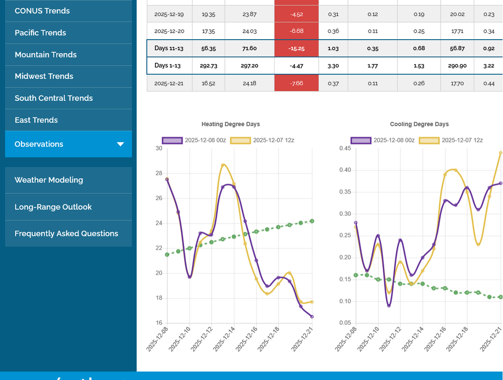
OTOH: The natural gas market, which is down sharply (6%) currently feels the prospects for a warmer pattern Dec 16th and beyond have increased. Check out the 0Z EPS HDD, which is on left chart, as it shows HDD plunging from mainly AN through 12/14 to BN 12/16-21 along with a trajectory suggesting more BN HDD (meaning warmer than normal E US). We’ll have to see whether or not this will finally verify well as the EPS has been too warm for the last 3 weeks as it has continually been correcting colder as the periods get closer:
-
Come to papa. Gfs get on board please.

-
Snow / rain mix in Lewisville - 37
-

Mountain West Discussion
mayjawintastawm replied to mayjawintastawm's topic in Central/Western States
Noting the drought severity and coverage slowly growing east of the Divide. We're now in D2 (roughly between Cherry Creek and the South Platte, and south of Denver proper). The next couple weeks don't look to help that at all. https://www.drought.gov/states/colorado -
NWS Blacksburg, VA

-
Just saw the dew points crash in northern Maryland. Wonder if this is the arctic front trying to press south and set up some better convergence? Perhaps the HRRR is trying to pick up on this down your way?
-

The Monday wintry event potential (12/8/25)
NorthHillsWx replied to GaWx's topic in Southeastern States
GFS has been rock solid for days. Will be interesting to see if it scores a mini coup for the fringe counties and we get 1-2” vs a dusting most other models have shown. Southern Va in for a great storm. What a start to winter they are having -
bad patterns produce bad luck
-

The Monday wintry event potential (12/8/25)
ForsythWx replied to GaWx's topic in Southeastern States
Still seems like rain / snow mix near downtown Winston. Occasionally a heavy little burst of flakes -

Winter 2025-26 Short Range Discussion
Stevo6899 replied to SchaumburgStormer's topic in Lakes/Ohio Valley
I see the rgem gives mostly snow but has the low further north while the gfs slides it further ESE. Atleast we got something to track. -
1.25", moderate snow, northerly wind 10 - 20 mph, 25.1 degrees. It has fell 7 degrees since 7am.