All Activity
- Past hour
-
Paging @TellicoWx...the 18z GFS says, "There ya go." Inland runner. Man, if it wasn't the GFS I would be excited. But...I have seen it pull off a stunner at this range...just enough not to ignore it. I mean we have seen that energy get right to the far edge of the eastern valley and run west of the Apps. We have seen Apps runners. So, it makes sense to have a solution or two with runs east of the Apps....I have NO IDEA if that run is right. However, we have been seeing baby steps today which are south of some modeling - not all.
-

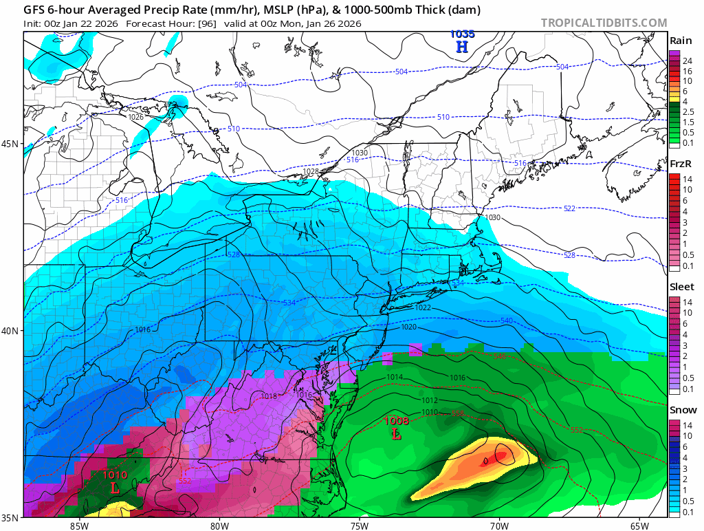
January 24-26: Miracle or Mirage JV/Banter Thread!
clskinsfan replied to SnowenOutThere's topic in Mid Atlantic
Yeah. I'm not getting 20 anymore. We have to maximize the thump. Maybe 12. MAYBE -
Man we gfs
-
 I'm 50 miles north of NYC in orange county NY. It's been a good season so far with 26.3 inches here, but I wouldn't call it great. It this weekend plays out well it will lean in that direction.
 -
Last 4 runs

-
This is accurate. Even the slowly decaying NAM ancient motherboard showed a super late phaser that isn’t necessarily wrong. It is plausible as to what it depicted.
-

January 24-26: Miracle or Mirage Thread 2
NorthArlington101 replied to mappy's topic in Mid Atlantic
I’m on mobile so I can’t move this to banter but it’s HILARIOUS how this was an awesome, epic fantasy run and now we’re gonna be miserable if this is the outcome. Perspective shifting, honestly -

Possible Record Breaking Cold + Snow Sunday 1/25 - Tuesday 1/27
Blizzardo replied to TriPol's topic in New York City Metro
Someone please post the old "Mother Of God" picture please... Pretty please? From the old days... Lol -

January 25-26 Winter Storm Potential
anthonyweather replied to Ralph Wiggum's topic in Philadelphia Region
its defined as sustained of 35 mph or more OR frequent gusts over 35 -

January 24-26: Miracle or Mirage JV/Banter Thread!
JenkinsJinkies replied to SnowenOutThere's topic in Mid Atlantic
For this one, GFS and NAM/REGM are opposite extremes. -

January 25/26 Jimbo Back Surgery Storm
franklin NCwx replied to Jimbo!'s topic in Southeastern States
Got your generator? -
Yall are exhausting
-

1/23/26-1/25/26 Winter Storm Thread
WishingForWarmWeather replied to AMZ8990's topic in Tennessee Valley
Can you show me? I’m pretty close to you. -
I was going to say. I might be crazy but if the weaker solution starts to win out.. I don’t think we’re far off from some folks getting back to a snowier solution. Still mostly a mixed bag… but
-

Possible Record Breaking Cold + Snow Sunday 1/25 - Tuesday 1/27
TriPol replied to TriPol's topic in New York City Metro
If I remember correctly, when tracking the Boxing Day Blizzard, we weren't 100% sure if it would stay all snow until 36-24 hours before the storm hit. -

Central PA Winter 25/26 Discussion and Obs
canderson replied to MAG5035's topic in Upstate New York/Pennsylvania
All good - ignore some of the mid Atlantic posters lol -
The GFS doubling down and dropping one of its biggest runs yet is the most GFS thing ever. Gives everyone the sliver of hope before it folds by 12z tomorrow.
-

Possible Record Breaking Cold + Snow Sunday 1/25 - Tuesday 1/27
psv88 replied to TriPol's topic in New York City Metro
You mean when the GFS was the only model showing any snow for last weekend, the EURO was way offshore, and we all got snow? -

Possible Record Breaking Cold + Snow Sunday 1/25 - Tuesday 1/27
David-LI replied to TriPol's topic in New York City Metro
GFS is a top tier model. Care to elaborate why you think it is wrong? -
That's how we roll in America. Canadians and Ukies and Euros just can't grasp it.
-
January 25/26 Jimbo Back Surgery Storm
franklin NCwx replied to Jimbo!'s topic in Southeastern States
Positive. Its trending to a later and later phase. Heights are flatter out in front. You're looking only at the surface. -

January 24-26: Miracle or Mirage JV/Banter Thread!
Amped replied to SnowenOutThere's topic in Mid Atlantic
Gfs is the Lucy model of this storm. -

Possible Record Breaking Cold + Snow Sunday 1/25 - Tuesday 1/27
SACRUS replied to TriPol's topic in New York City Metro
Tue night ice box -
January 24-26: Miracle or Mirage JV/Banter Thread!
JenkinsJinkies replied to SnowenOutThere's topic in Mid Atlantic
I mean that’s pretty much what a lot of people are expecting right now. -

January 25-26 Winter Storm Potential
Birds~69 replied to Ralph Wiggum's topic in Philadelphia Region
I doubt we hit 35mph at all unless it becomes real wrapped up... What are the criteria for a blizzard? Officially, the National Weather Service defines a blizzard as a storm which contains large amounts of snow OR blowing snow, with winds in excess of 35 mph and visibilities of less than 1/4 mile for an extended period of time (at least 3 hours).