
David-LI
-
Posts
1,439 -
Joined
-
Last visited
About David-LI

Recent Profile Visitors
3,919 profile views


-
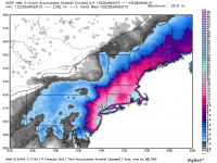
11" reporterd in Malapan Township, Monmouth county nj 8.2" in Battery Park NYC
-
it will be ripping still in the morning tomorrow
-
-
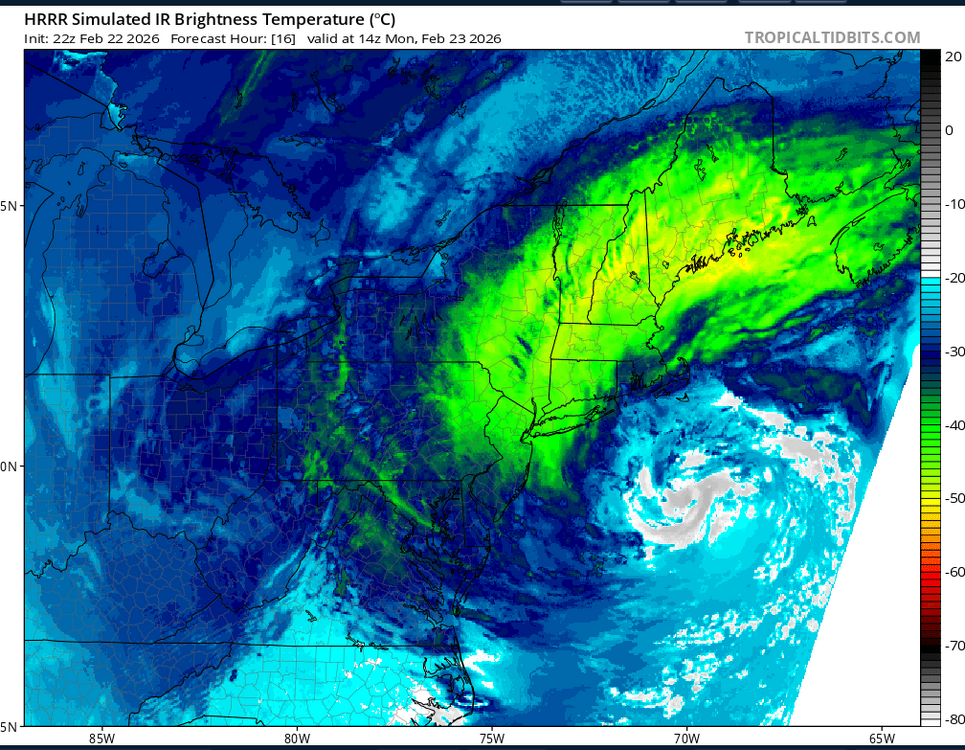
This is 9 am Monday. It will have an eye, like Sauron.
-
It's ripping in north Nassau County.
-
very high chance some of us will loser power
-
if you want to avoid the crowds sure, but it should be ok to drive until the afternoon, it starts early but it cranks up in the afternoon/evening
-
-
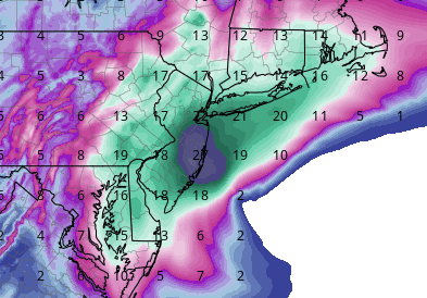
still snowing a bit during this, HRRR 0z
-
according to NAM 3k it could start as early as 8 am in nyc and LI
-
and why is that a red flag?
-
how so?
-
that's awesome and electrifying!
-
0 wind outside, literally the calm before the storm
-
when do they send that alert that makes all the phones start blasting with a loud sound? Havent got one yet. Not officially a blizzard until I get that alert.


