All Activity
- Past hour
-
Mittens ?
-
time to take my walk wearing my hoodie nice and cool for the start of june..
-
Another cutoff for this coming Saturday? Unreal.
-
Finally a dry week on tap!
-
looks wet to start
-
Troll Tiger lmao .. I love your efforts ..
-
Trenton right on normal, abe below and mpo below.
-
Different winds at different heights. The smoke is mostly elevated, between 300-400mb
-
AND some are solidly below normal (like NYC and LGA).
-
whats causing it to move north when the winds are coming from the NW?
-
1966 0 0 10 14 8 1 0 33 I'm surprised to see 1966 on this list that was a very hot summer.
-
Booooo. Have to see if it holds all day now
-
This still looking hot tonight?
-
Low of 46 this morning in Marysville to start off June. Coolest low in June that I can remember since several years ago.
-
It's more than just onshore flow though Chris, a lot of our heat records go back to the 1940s, 1950s, etc. It seems like it's not just added rainfall and onshore flow, but something else which has limited the extent of our heatwaves and extreme heat. We just do not get 7+ days of heat consecutively anymore and particularly not long lengths of 95+ heat like we did back in 1944 and 1953.
-
We are so close now you can feel it, smell, it is literally on the doorstep . Just one more knock and the door opens
-
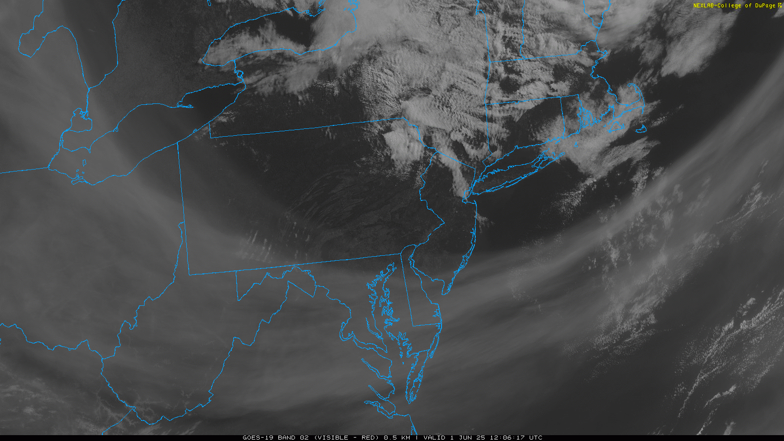
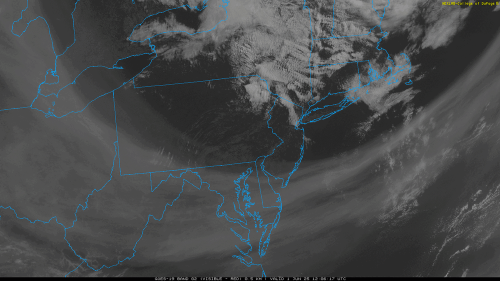
The current visible shot of the smoke looks fake https://weather.cod.edu/satrad/?parms=subregional-New_England-truecolor-24-0-100-1&checked=map&colorbar=data
-
Throw your darts. There isn’t enough initialization data to make such predictions. And where we have good data coverage, it’s accuracy (inherent error) out to month long timescales that bites. We’d all be much better off killing this aspect of the science. Do it for fun; but let’s stop there.
-
Beautiful out, for now. Little chilly for June but I'd take it over swamp weather. These clear blue skies won't last long unfortunately. Some models have that band of smoke moving north into our area by the afternoon
-
53kts at HYA yesterday. Sound about right. Was wild. I guess there were a bunch of power outages.
-
still waiting for yesterdays "rains" and "nor'easter"
-
tough being correct
-
Tuesday through Thursday midday look phenomenal after that TBD... The front Thursday PM may try to stall somewhere in New England
-

2025-2026 ENSO
PhiEaglesfan712 replied to 40/70 Benchmark's topic in Weather Forecasting and Discussion
The 13-14 analog wasn't even a good match for this past winter. The 12-13 analog was a much better match, as that was a deep -PDO that peaked in the fall. This past winter was colder than 12-13, and had comparable snow totals in most areas, in the Eastern US. Those predicting a 13-14 analog for 24-25 were just grasping on straws. In 13-14, you still had a -PDO, but it was generally trending towards 0, which was what we have this year. (And of course, the WPAC jet cooperated, unlike in most of 11-12 and 12-13.) If we can have a similar WPAC jet to 13-14, I think a cold and snowy winter in 25-26 is pretty much locked in. -
Do you still have power?