All Activity
- Past hour
-
15 day qpf says very dry for all except a few showers along the coast. Severe Drought is on the way................................
-
kinda seems like ur "grasping at straws". everything about last year was a la nina except enso, which was pretty close. it's foolish to think that -0.4 is much different than -0.7.
-
I actually hope it warms up come late September and October when the climate numbers are lower.
-
Sigh.. Fucking Harbaugh. Almost want to root for a disaster of a season so they finally get rid of him.
-
Last year wasn't a nina. It was cool neutral. I know winters generally suck now but it seems you're really grasping at straws
-

September 2025 OBS-Discussion centered NYC subforum
bluewave replied to wdrag's topic in New York City Metro
I haven’t heard any information suggesting that the new sensors being installed at the airports have an inherent cold bias during radiational cooling events. The coldest temperature in NJ since late August wasn’t from an airport but at the Walpack ,NJ climate station. Plus KFOK which is at an airport has always been a great radiational cooling spot out in the Hamptons. So very cold readings at airports which happen to located in great radiational cooling locations like the Pine Barrens with sandy soil have been a common occurrence long before the new sensors began to get rolled out. -
So far BOS is -1.1F for the month ORH is -1.3F
-
He is giving me too much credit. It’s because people take one part of what someone says (if it confirms what they fear or want) and run with it. I did state in the fall leading into both those years that we had a very high chance at a total dead ratter winter. But it was based solely on the base state of the PDO and enso heading in and probabilities. I didn’t actually call TOD on those winters for sure until around Xmas.
-
As long as we know when to toss it (tomorrow) And when to use it (last Satuday)
-

2025-2026 ENSO
michsnowfreak replied to 40/70 Benchmark's topic in Weather Forecasting and Discussion
I dont think we'll ever see another 2013-14 here and I've said that many times. However, if everything aligned pattern wise for a similar winter (again, highly unlikely), I do not buy for one minute the bogus "new climate weather adjustment" bs. The winter of 2013-14 was decades into the mainstream acknowledgment of "global warming" and was the most severe winter this area had recorded. If you get a favorable pattern where everything aligns for any given region, you absolutely can get a severe winter and cc is going to do nothing to stop it. -

Saturday 9/6 Strong/Severe storm potential
HoarfrostHubb replied to Torch Tiger's topic in New England
I’m kind of surprised they were all given EF1 status. I thought they would likely be EF0 based on radar and damage I saw in pics and video. But hey…we take. -

Pittsburgh PA Fall 2025 Thread
Ahoff replied to TheClimateChanger's topic in Upstate New York/Pennsylvania
I can't remember, is that good or bad for winter? -
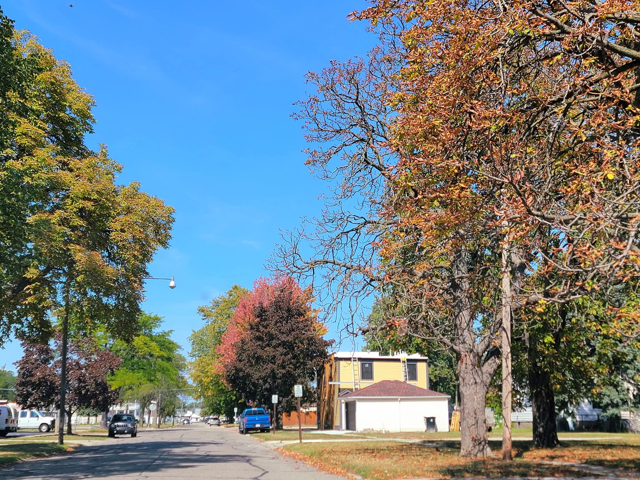
Sunny, dry, and early color continues.

- Today
-
Highest we saw this summer at my house was 81. I imagine we won’t see 75 again before next Spring up here on Tenn border but I’ve been wrong before.
-
don't buy that 23 at all, lol. some of these COOP sites have terrible siting and should be taken with a grain of salt
-

September 2025 OBS-Discussion centered NYC subforum
Stormlover74 replied to wdrag's topic in New York City Metro
Models seem to have a sneaky .25 to .5" tomorrow particularly for the coast -
This. I can't state this enough. Maybe you can argue there's a small feedback, but any larger scale shift due to MJO etc will just overwhelm the warm or cool pool.
-
Thanks for the detailed thoughts Tip... I think the "if that persist" comment cannot be understated. Over the years I've seen massive changes for the northeast Pacific sst profile moving from early fall into early / mid winter. It's rarely static. Also we occasionally see some folks thinking the sst configuration (in this case the warm pool in the northeast Pacific) drives the pattern, when as you stated, it is an artifact of larger atmospheric features/patterns. I do think you are probably correct about an early onset compared to some recent winters. Of course, intensity and staying power very uncertain. Hints of this occurring should show up in early October, if it's going to happen?
-
 Woo!
Woo! -

Fall 2025 Medium/Long Range Discussion
A-L-E-K replied to Chicago Storm's topic in Lakes/Ohio Valley
keep me posted- 1 reply
-
- 1
-

-
.
-
Did he? I think his position(which I agree with) is the pattern in Fall(esp early) is not a reliable predictor of the upcoming predominant winter pattern. Unless one wants to simply go with climate models depicting a particular ENSO state/strength and look at historical outcomes. Last year would not have worked out based on that as it was a weak Nina which has always completely sucked in the greater DC area for snow.
-
I had a really bad feeling going into both 2019-20 and 2022-23 but things don’t look as hopeless right now. The JFM ONI was actually enso neutral those years and strongly -pdo enso neutral winters have been the WORST subset for us lately. Ninos have been slightly better mostly because they’ve been colder. Enso neutral have been warmer but still dry, at least when what little cold was around. That said we need the PDO to improve somewhat. It can be negative but not -3 to -4 that’s nuts. If winter ends up enso neutral AND the pdo is below -2 we provably get another 2020, 2023 dead ratter. But those two things aren’t written in stone…YET.
-
SAL is currently a problem in the MDR and Caribbean right now. This looks more like July than September. https://www.wyff4.com/article/saharan-dust-suppresses-tropical-development-during-peak-season/66012941
-


.thumb.jpg.ad3a2e31d30aff035044689b311a0540.jpg)


