All Activity
- Past hour
-
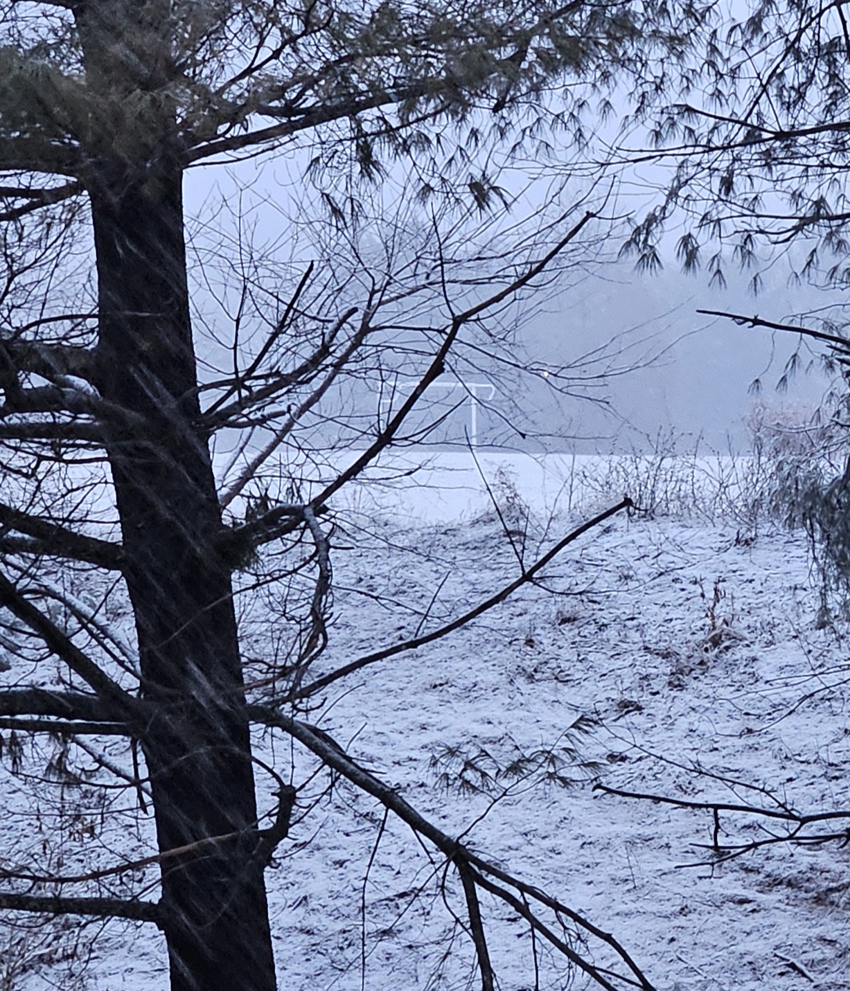
Moderate snow is now falling in Larchmont. There is a solid coating on all surfaces.
-
It's ripping in north Nassau County.
-

Feb 22nd/23rd "There's no way..." Obs Thread
MDphotog replied to Maestrobjwa's topic in Mid Atlantic
The higher elevation for the win on this one. -
2/22 21z RRFS (planned to replace nam) 4AM Monday through 100am monday snow
-
Im 2 hours away from that!
-
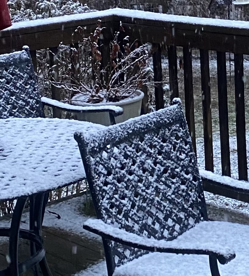
Closing in on 1” in Arlington. Loving the trends on radar
-

Feb 22nd/23rd "There's no way..." Obs Thread
Solution Man replied to Maestrobjwa's topic in Mid Atlantic
Seem to be on the backside of things now, only light snow, winds increasing -
Official changeover at 548pm
-
No cave in sight in Georgetown. Lighter precip atm but it’s on and off.
-
Everything in the bronx has been covered for a while including pavement,starting temps were cooler at the onset resulting in minimal rain/drizzle.
-
Yeah this is not the heavy wet snow I was anticipating. Is it just really cold up in the atmosphere?
-

“Cory’s in NYC! Let’s HECS!” Feb. 22-24 Disco
Baroclinic Zone replied to TheSnowman's topic in New England
My P&C has accumulations of 19-29” -

Feb 22nd/23rd "There's no way..." Obs Thread
Ellinwood replied to Maestrobjwa's topic in Mid Atlantic
Road accumulation is just starting in Germantown. Around 0.5" on grass and elevated surfaces. -
Heavy band about to rotate in from the southeast over southern Nassau, Queens and Brooklyn
-
they still medaled with a bronze
-

Feb 22nd/23rd "There's no way..." Obs Thread
MDSnow93 replied to Maestrobjwa's topic in Mid Atlantic
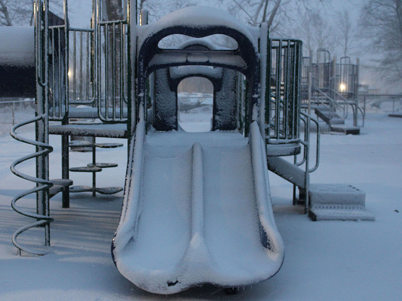
Similar shot from 4pm. Grass and cars fully caved. Really nice rate of snowfall and flake size
-
wife out of town?
-
Heavier echoes will enter the Philly area in the next hour or so. We are ready for blast off.
-

-
Is the low being pulled west from its current position? And, I thought it was going to occlude/stall for 4 or 5 hours?
-
Richmond Metro/Hampton Roads Area Discussion
snowchill replied to RIC Airport's topic in Mid Atlantic

-
-

Feb 22nd/23rd "There's no way..." Obs Thread
Eskimo Joe replied to Maestrobjwa's topic in Mid Atlantic
The DOT cameras on I-70 right at South Mountain are incredible. That band is really going to town. -

Blizzard of 2026 Storm Thread/OBS
Ralph Wiggum replied to Mikeymac5306's topic in Philadelphia Region
Currently under subsidence here with a heavier band setting up about 5 miles west. -

"Don’t do it" 2026 Blizzard obs, updates and pictures.
Damage In Tolland replied to Ginx snewx's topic in New England
Ginxy?