All Activity
- Past hour
-

December 2025 regional war/obs/disco thread
WinterWolf replied to Torch Tiger's topic in New England
So, In an average 12 week winter season (84 days) if the ground was covered for the whole 12 weeks(unlikely in southern areas), ..3% less snow duration is about 2.5 days less…not exactly a shocking number imo. But ok. -
0.8”
-
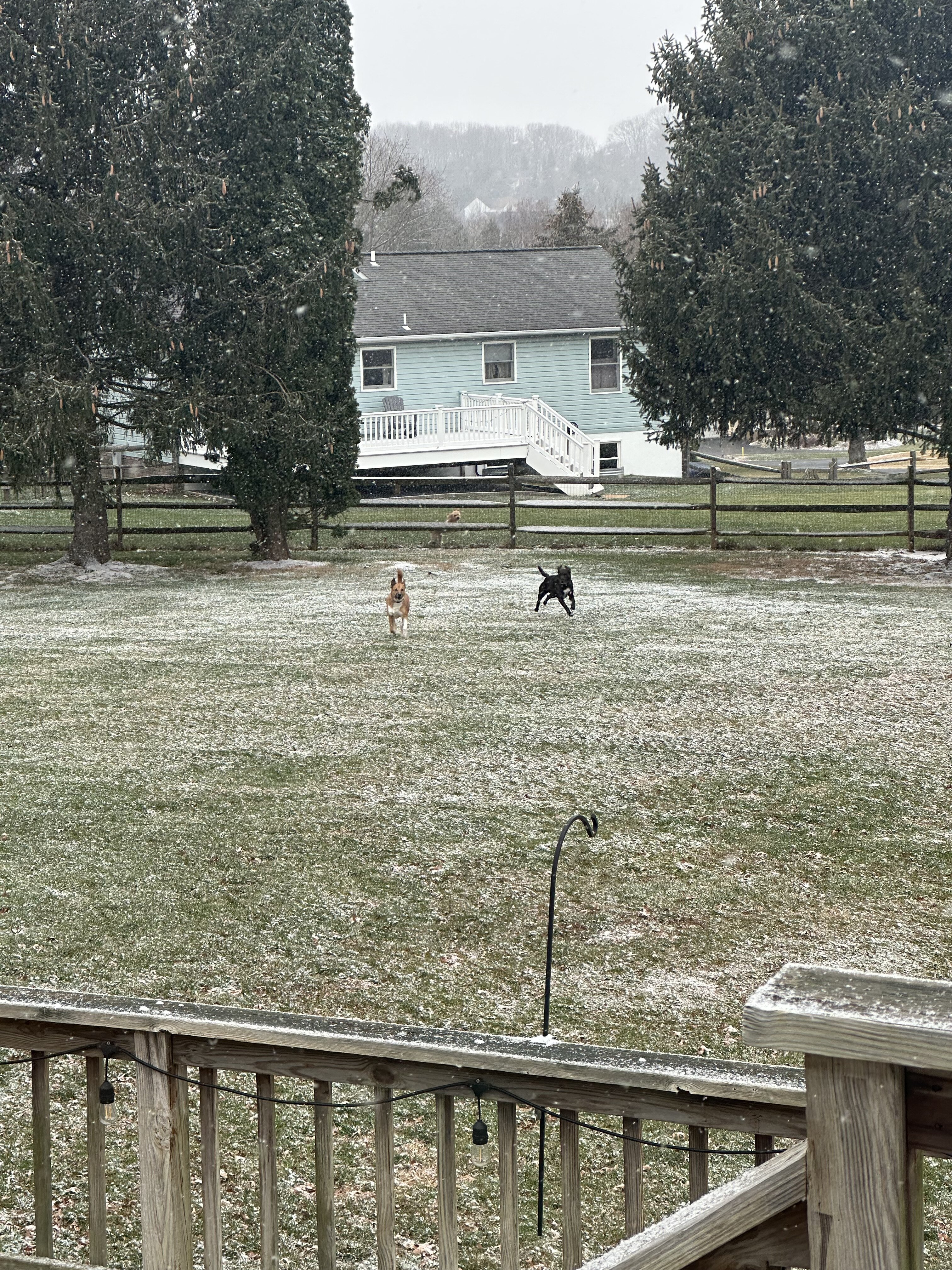
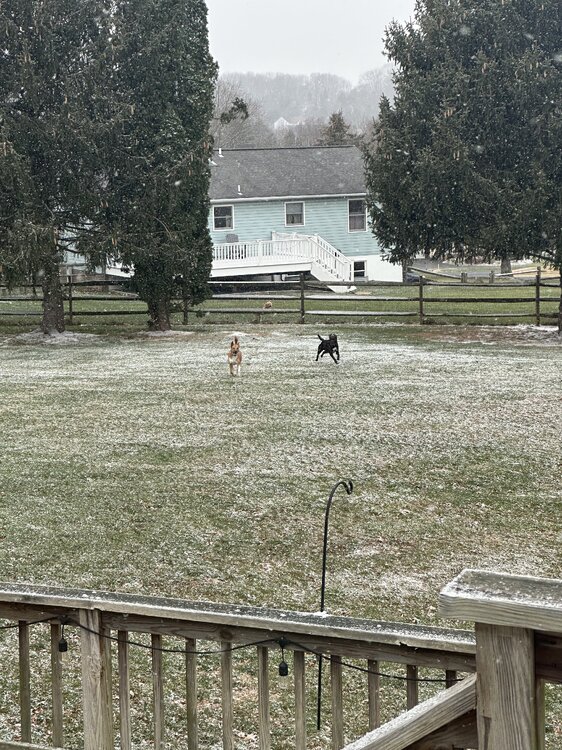
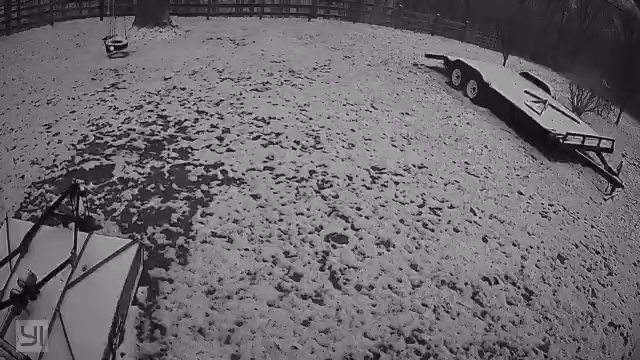
Dogs enjoying the dusting of snow
-
Not a ton of support in EPS to the Euro op’s solution of a storm passing well south of us. But looks like a good handful or two. Just eyeballing Pivotal maps.
-
Heeeeeyyyyyy!!!! Good to see you!!
-

December 2025 Short/Medium Range Forecast Thread
Carvers Gap replied to John1122's topic in Tennessee Valley
I mentioned 95-96 yesterday. Interestingly, the d8-14 analogs have that analog(I didn't see it until today FTR). I am glad not to see 83-84 in that mix! Dec 2012 is double weighted as well. 19951129 20161209 20121128 20221129 19961223 20101212 19951204 20211222 20121203 20081231 -
How has BWI not reported anything yet!?! edit…finally 0.8” at 1pm. Lowest than all surrounding spotter reports.
-
Measured 1.7”
-
I'm still waiting on the 4" of snow it had here only 36 hours before the rainstorm a few days ago.
-

The Return of the 12/5 Snowstorm
NorthArlington101 replied to SnowenOutThere's topic in Mid Atlantic
Do we keep discussion for the freezing drizzle WAA in here? -
Pixie dust snow now
-
Good thing storms a week away always happen as they are shown now
-
Mount Airy snow https://x.com/dylanhudlerwxii/status/1996940803894063414?s=46&t=5ny5bPgiX5Vy3bQMvYTY5g
-
Snowing again at 28° - midnight high of 30.7°.
-
(002).thumb.png.6e3d9d46bca5fe41aab7a74871dd8af8.png)
E PA/NJ/DE Winter 2025-26 Obs/Discussion
ChescoWx replied to LVblizzard's topic in Philadelphia Region
Here in Chescoland stuck on Winter event #2 - only saw 8 flakes today! However, website updates are continuing with some new content coming out this evening! stay tuned!! Everything you ever cared to know about Chester County Climate. I actually have the data set in excel, google sheets, looker studio and of course backed up to an external drive!! So Birds is not too far off!! LOL!! -
They probably have 10 year olds building them too along with the tons of new coal plants and don't care about any environmental harm with little regulations, but yes, go China! We see how careless they were with their lab and the virus they unleashed
-
December 2025 Short/Medium Range Forecast Thread
Carvers Gap replied to John1122's topic in Tennessee Valley
Just looking at northern hemispheres modeling, the coldest air on the planet will likely be over the Yukon d8-15 roughly. The mechanism to deliver that into the Upper South is present in the forum of a flat western ridge. The colder of the air (for now) will slide across the upper MidWest and into the NE. HOWEVER, any kind of cutter or storm which gains latitude could send all of that into the Tenn Valley region. Both the 6z GFS and 12z Euro have minor slp events which do it. I cannot imagine what a big storm would wrap in. A portion of the TPV is basically parked over the Hudson Bay, and just pinwheels cold air southward. In other words, we have a trough modeled. The source region for that trough is very cold air. Remember these winters where NA was void of BN air...not this year! -
That post was based on the 12z runs. There have been 4 runs since and the AI has come up with 4 different forecasts. Apparently, it needs my time to learn.
-
Goddamn I miss a wood stove. I want to replace my gas one with a pellet stove not sure what it will cost tho
-
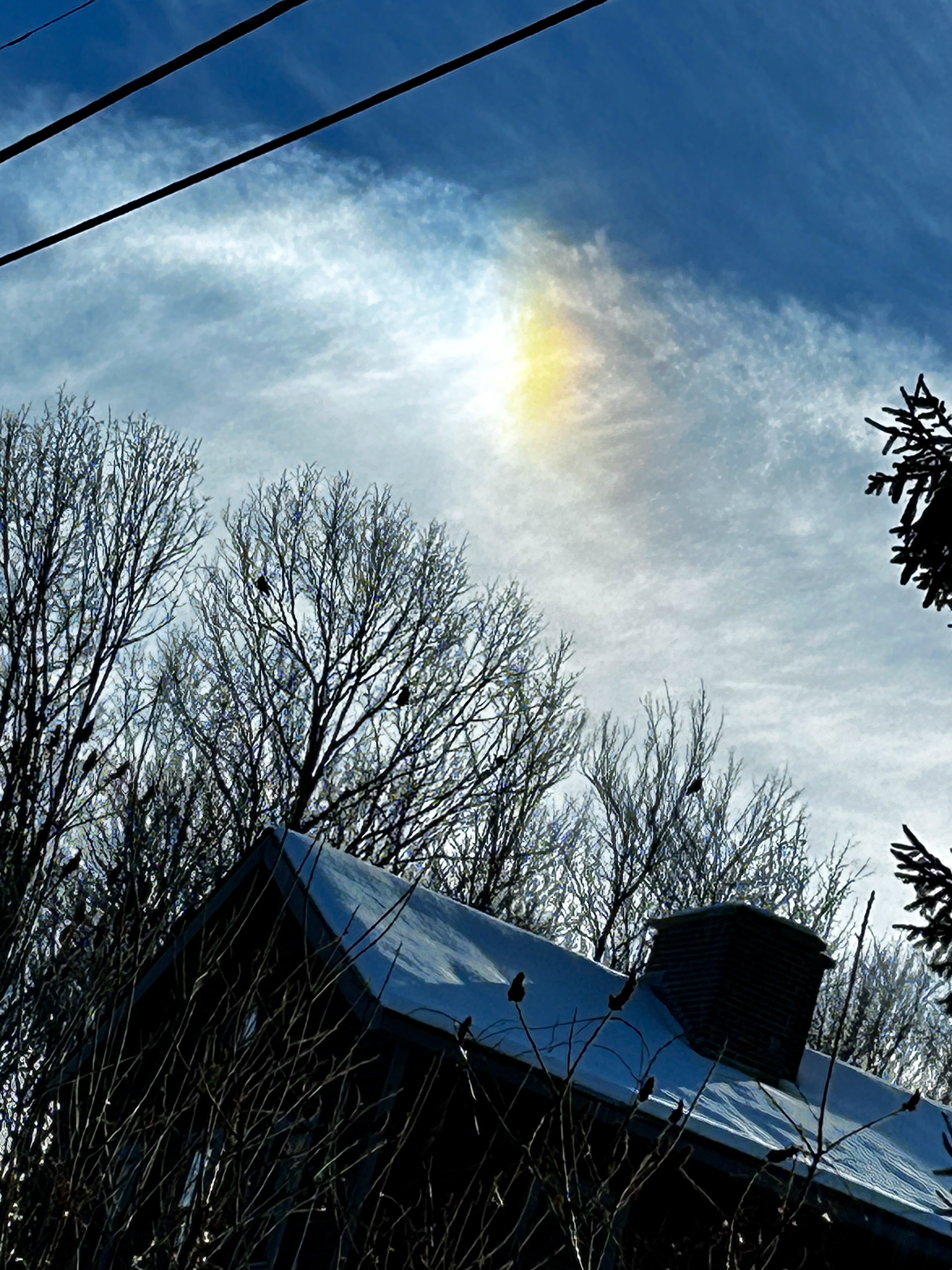
Nice winter day! 22° after a low of 1° and about 3 inches of glacier, mostly snow with a little sleet and a crust of ice. Caught the Sundog in Granville MA.

-
Screenshot this morning, mostly sleet.
-
Cars cleared and the one in full shade had 2”
-
Some very tiny flurries floating around at home in little ferry.
-

December 2025 OBS and Discussion
coastalplainsnowman replied to wdrag's topic in New York City Metro
Anybody remember the movie Krull and the Cyclopses who had traded one eye in exchange for being able to see the future, but were tricked in that the only future they could see was their own demise? That's what this place is like. Here it is, early December. Snow to our south, sub freezing temperatures across most of this board, mood flakes on the way, below normal temperatures forecast pretty far out, and some of us *still* aren't happy, because at some point, it's going to rain or be mild again someday. As for all the talk about "we're screwed, it's going to be cold but dry", I'm willing to bet that in every year of this board's existence, there was chatter like that two days into every single solitary late fall/winter cold snap which didn't immediately produce. Sometimes it turned out to be true, but sometimes it did not. For the non mets on here who like snow and cold, enjoy the moment for pete's sake. It's always eventually going to be warm again. -
7-8 years ago, I wrote a short essay on potential effects of climate change on the Bureau of Parks and Public Lands' timber management. As part of it I looked at snowfall and temps for the northerly 2/3 of Maine where 90%+ of the BPL-managed acreage. I used CAR for the north, Rangeley for the mountains and Farmington for non-mountain inland areas. Temps have risen noticeably this century, particularly in deep cold - subzero mornings, important for freezing down winter roads. 21st century snowfall increased at all 3 sites, averaging 6% more. Duration of snow cover was lower (3-5%) at CAR and Farmington but up 5% at Rangeley - elevation helps, I guess. First subzero morning here - expected about -5 but reached -9, earliest in the season this cold since moving here in 1998. Maybe the wind quieted earlier than expected?