All Activity
- Past hour
-
Heavier east of here but it’s basically been storming for the past 6 hours.
-
Ready to rock and roll.
-

Augdewst 2026: Summer's Last Stand
weatherwiz replied to Prismshine Productions's topic in New England
What a difference between MAV/MET for tomorrow -
Gust to 82mph at Columbus' John Glenn airport !! SVR-D now.
-
Some nasty wind gusts approaching Rockford area and south (75mph-85mph).
-
s tier training in n indiana, probably for the best that didn't end up right over the metro area
-

2026-2027 Record-breaking El Nino
FPizz replied to Stormchaserchuck1's topic in Weather Forecasting and Discussion
If you follow people who you want to read posts from it isnt bad at all. -
82 / DP: 70 here - see if we can touch 90
-
Dep through the 10th / first third of the month ISP: +2.8 JFK: +2.8 EWR: +2.7 LGA: +2.4 NYC: +1.5 (over growth skewed the city by 1 degree over 10 days)
-
 Maple Trust Rx [url=https://mapletrustrx.shop/#]canadian pharmacy victoza[/url] Maple Trust Rx
 -

E PA/NJ/DE Summer 2026 Obs/Discussion
soadforecasterx replied to PhiEaglesfan712's topic in Philadelphia Region
Interesting that the only gap in the line yesterday was in about the same spot a line of showers came through during the am. -
left-moving cell with possible large hail
-
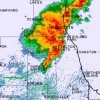
Looking at the radar loop, this thing really sped up in the last hour or so. Let's see how fast it dives SE.
-

2026-2027 Record-breaking El Nino
mitchnick replied to Stormchaserchuck1's topic in Weather Forecasting and Discussion
You mean "fortunately." Lol -
Cluster kinda fell apart as it got down towards me, but still some decent gusts. gusted to 39kts at Lunken and CVG which more than verifies the 40mph SPS. Surprised that wilmington dropped the SVR, though I haven't seen anything that would verify 50kt winds. Hopefully PM round is more electric
-
2026-2027 Record-breaking El Nino
soadforecasterx replied to Stormchaserchuck1's topic in Weather Forecasting and Discussion
Problem is i dont have an social media. I am old school and like to stay away from all that stuff unfortunately -
https://trustpharmaindia.com/# Online medicine home delivery
-

2026 Mid-Atlantic Severe Storm General Discussion
SolidIcewx replied to Kmlwx's topic in Mid Atlantic
Those book ends can mean hella business. I remember one from may 2004. Southern tier of counties in MI got smoked at the 2pm hour. Was a kid at the time but those green skies and golf ball size hail were something else. -
What a mess of modeling today.
-
Maybe it could reduce the highs on the days with more smoke by 1-2° from the model forecasts. Just glad that it’s significantly further away from our area than the record wildfires in Ontario back in mid-July. The smoke was so thick during that period that it resulted in 5-6° cooler high temperatures than model forecasts.
-
2026-2027 Record-breaking El Nino
FPizz replied to Stormchaserchuck1's topic in Weather Forecasting and Discussion
Just log into X and follow the 5 guys he always posts. He was pretty much their X feed on here. Solved it for you. -
Yeah ... agreed. And the period since 1917? it so vastly dwarfs the 1850 to 1917 interval, the period after is too gorgeously obvious (and probably damning implication) to ignore. The point there is that something ( to remain nameless...) enormous must not just be forcing, but doing so massively. In geological time framing ( no less...), to impose that much acceleration, changing of the previous (1850) dynamic state at a planetary scale - You know, I keep coming back to this notion that humanity isn't terrified by this because it's so huge they can't dimensionalize the monster - so to speak. It is not helping that as a species, we are too constrained to what threats we can readily see, hear, taste, tough, and smell. If it is not directly perceivable we seem to evade detection of what we don't want to. I don't know if the person you're talking to is doing this, per se...just sayn'. We need to see an actual fire wall coming over the horizon, else it's like being scared in a movie theater. It becomes ephemeral. All one needs to do (or perhaps "gets" to do - ) is leave the theater. The horror story stops. No longer real. Insidiously oblivious peril.
-
(002).thumb.png.6e3d9d46bca5fe41aab7a74871dd8af8.png)
Central PA Summer 2026 Discussion/Obs Thread
ChescoWx replied to Voyager's topic in Upstate New York/Pennsylvania
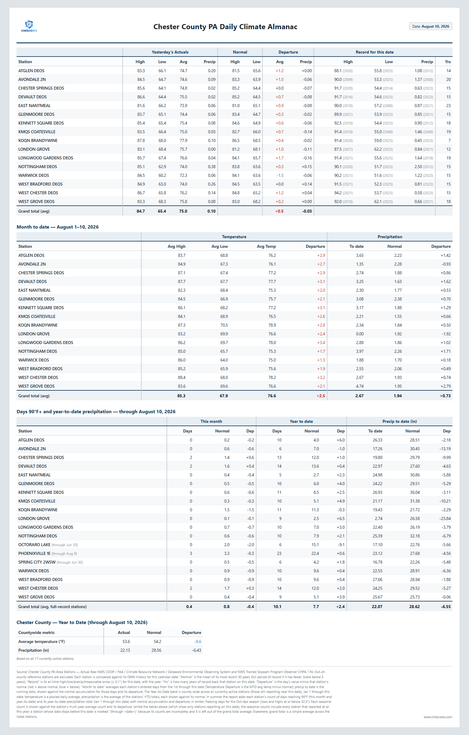
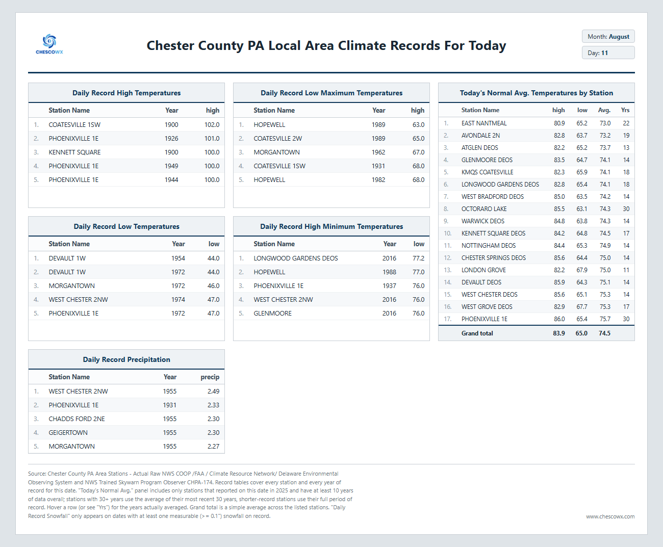
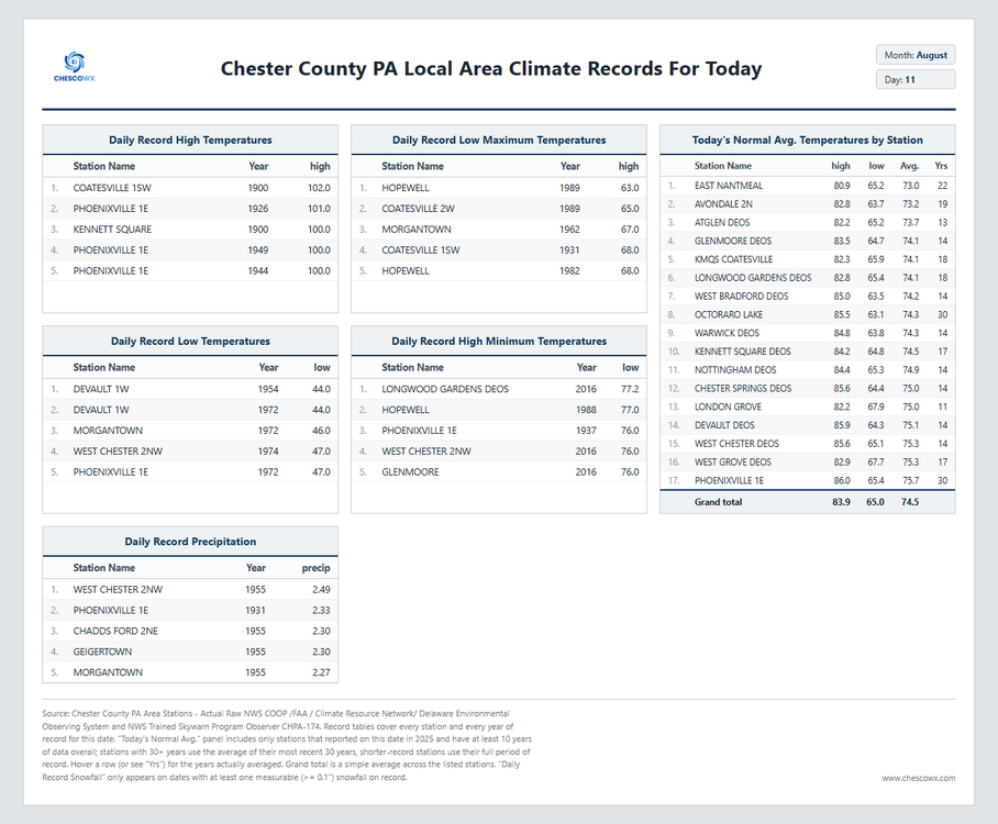
Our muggy warm weather looks to continue through tomorrow with chances of showers and thunderstorms before a cold front crosses the area by later Thursday. Following that front we get an almost autumnal sneak peek with highs Friday through Monday in the upper 70's to around 80 degrees and lows by Saturday morning in the refreshing 50's.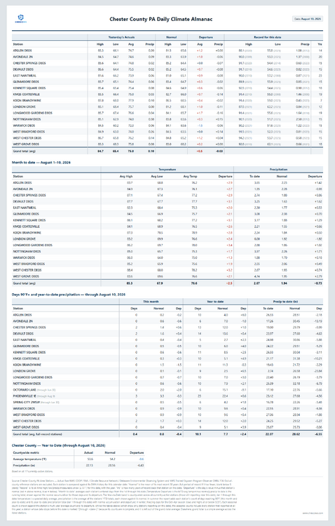
-
E PA/NJ/DE Summer 2026 Obs/Discussion
ChescoWx replied to PhiEaglesfan712's topic in Philadelphia Region
Our muggy warm weather looks to continue through tomorrow with chances of showers and thunderstorms before a cold front crosses the area by later Thursday. Following that front we get an almost autumnal sneak peek with highs Friday through Monday in the upper 70's to around 80 degrees and lows by Saturday morning in the refreshing 50's.
-
it is at the bare minimum raining in droughtville USA


.thumb.jpg.ad3a2e31d30aff035044689b311a0540.jpg)