All Activity
- Past hour
-

2026 Mid-Atlantic Severe Storm General Discussion
high risk replied to Kmlwx's topic in Mid Atlantic
Early thought is that storms will fire Saturday afternoon along the lee trough in an environment with good shear and at least moderate instability. (The NAM is likely too moist in the low levels, so toss its extreme instability). Severe will definitely be a concern, and the high PW environment may support locally intense rainfall, but the fast storm movement should prevent major flooding concerns. The potential round 2 is highly dependent upon timing. Right now, consensus seems to favor arrival very late in the evening, which leads to significant weakening (and possibly falling completely apart) before arrival. The shear will be increasing further after dark, so severe would be possible, but the timing really needs to speed up to make that happen. -
I was in NYC. Really, really unpleasant, although the smoke nicely kept the temperatures down.
-
 87F in Washington DC at 1am. Gotta imagine the smoke is playing a part in that?
 -
DCA is 86F at 1am - another 80+ low there (3 so far this year) - 98/81.
-
IAD is 85F at the 1am ob - officially 96/81 on the day. First 80+ low
-
The UKMET (0Z), after having dropped this from TCG, brought back TCG. Also, unlike the 2 Wednesday runs that had it form on Sun in NE Gulf followed by a NE move across FL, this run delays development til Tue and then moves it slowly WSW: NEW TROPICAL CYCLONE FORECAST TO DEVELOP AFTER 120 HOURS FORECAST POSITION AT T+120 : 28.8N 86.2W LEAD CENTRAL MAXIMUM WIND VERIFYING TIME TIME POSITION PRESSURE (MB) SPEED (KNOTS) -------------- ---- -------- ------------- ------------- 0000UTC 22.07.2026 120 28.8N 86.2W 1008 32 1200UTC 22.07.2026 132 28.8N 86.6W 1008 33 0000UTC 23.07.2026 144 28.5N 87.5W 1005 39 1200UTC 23.07.2026 156 28.5N 88.6W 1003 40 0000UTC 24.07.2026 168 27.9N 89.5W 995 48
-
It’s nasty out there. Smell is worse than I remembered from a couple years ago. AQI is around 150 so we still aren’t in the worst of it.
- Today
-
the midnight 5min ob at DCA is 90 with 3mi visibility. IAD is 87 with 2.5mi
-
Took our trash out about an hour ago. Our driveway is very long so I use a helmet flashlight to light the way. Could see the smoke and other suspended particulates drifting in the air. Looked like the mist of a dense fog, but with smell.
-
Smoke may insulate our overnight lows. It's 12:15 am and the Baltimore City mesonet site is at 84°.
-
Was up in Philly today. It was far worse than Baltimore, everything had a chlorine-esque odor. There was fine particulate in a lot of surfaces.
-
we got the marlboro man posting here
-
240 at a couple sensors now. very strong smell. visibility is trashed
-
Mid July now, we've turned the corner toward Fall. Days shorter, Mets suck, Giants football have zero hope at a Superbowl. Things are on schedule. Make sure to double wax the Iroc before the first freeze....that's very important and vital. 71F 11:50pm
-
It’s legit rn
-
I reluctantly went biking earlier for the first time in 3 weeks and actually didn’t find it too bad. But I just stepped outside and can absolutely smell it. It’s like a chlorine/smoke cross. This continent needs rain.
-
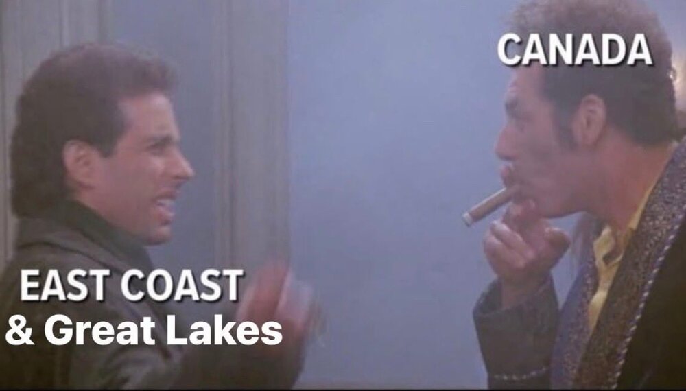
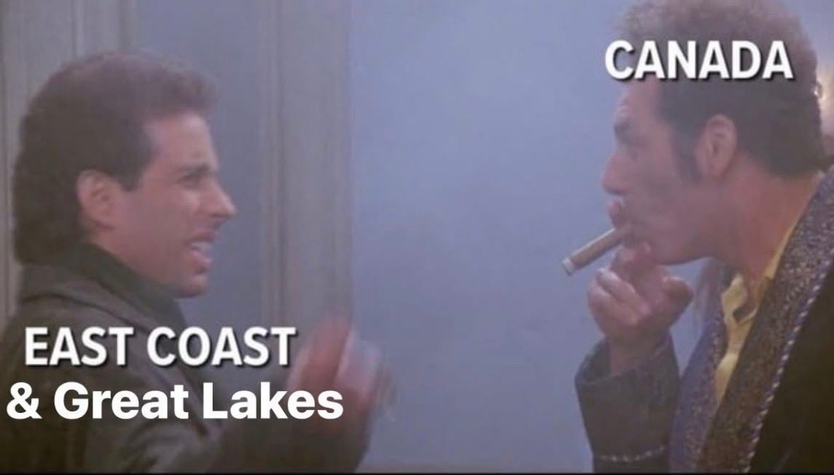
-
i was just going to repost that. Classic
-
I literally did not step foot outside today because I know it would give me a headache.
-
Smoke now at DCA - 90F. You can definitely smell it.
-
AQI here up from 100 to 160 in the past 45 mins
-
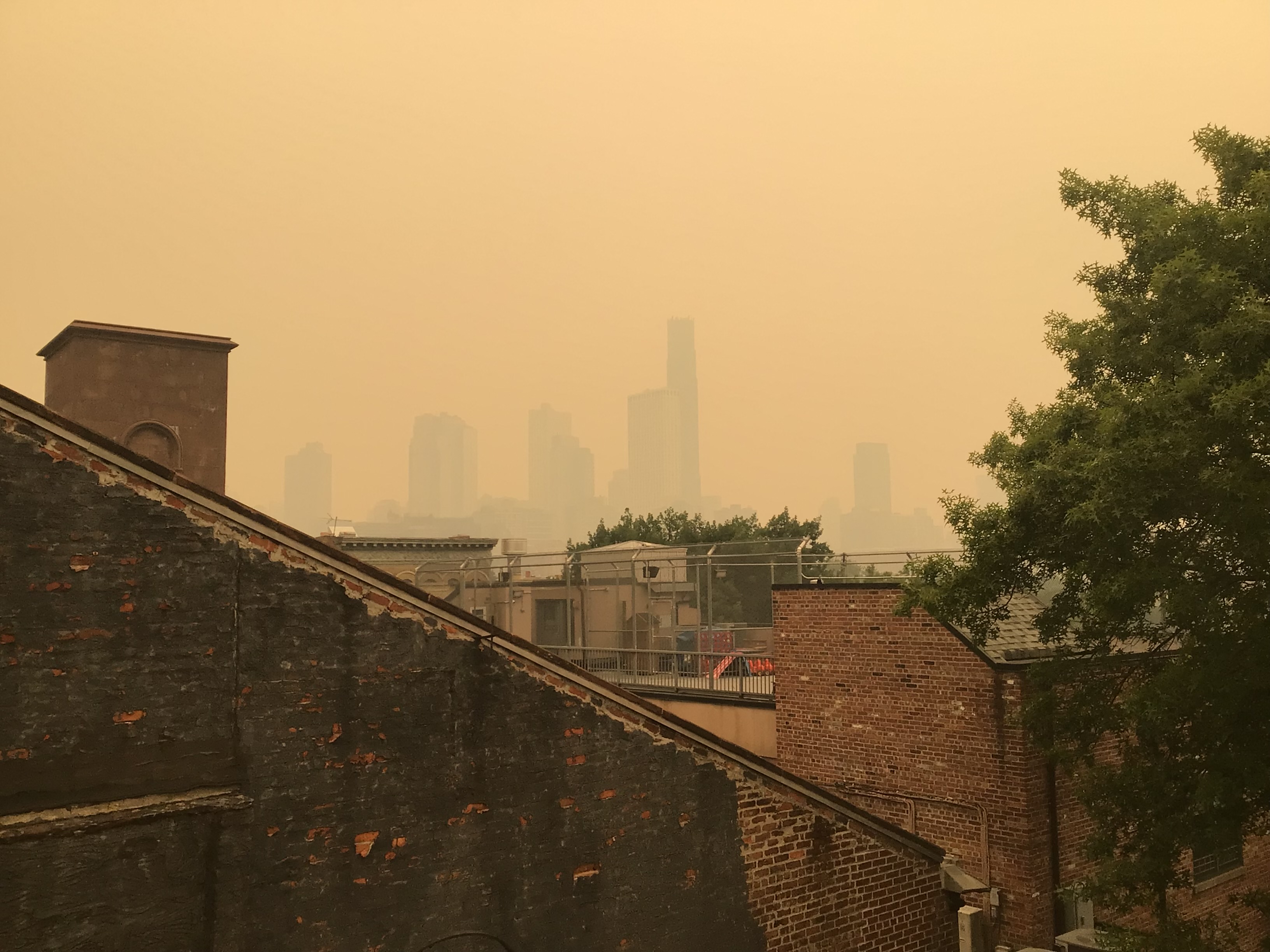
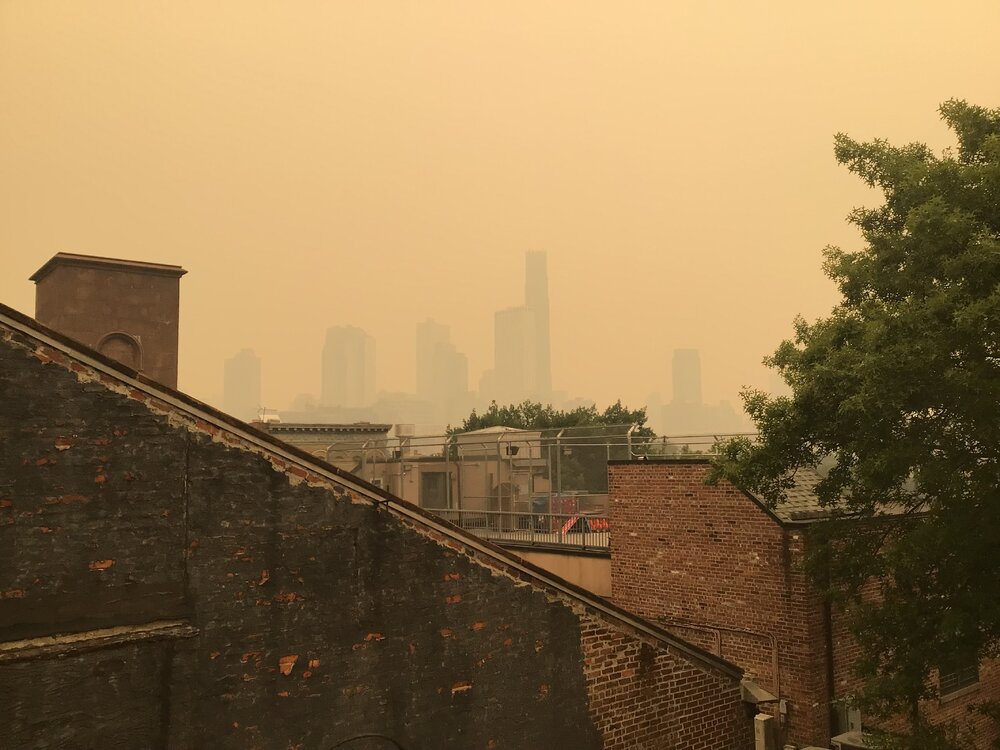
I was disappointed that Wills pet didn’t make a cameo appearance in my photo. As always …..
-
It's coming. 6mi vis at IAD, 7mi at DCA.
-

2026-2027 Super El Nino
PhiEaglesfan712 replied to Stormchaserchuck1's topic in Weather Forecasting and Discussion
This was a textbook frontloaded warm/backloaded cold winter. If we continued this into spring, I believe April 1983 was the coldest April on record CONUS. That one had a major freeze/snow event in the Eastern half of the country (impacting the midwest on the 13th-16th, and North Carolina northward on the 19th-22nd).