All Activity
- Past hour
-
They can't measure correctly
-
Nams are a nice look for CNE and NNE but work here too.
-
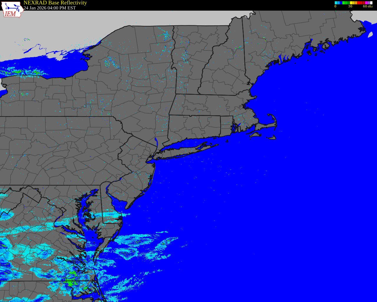
It'd be awesome if you could calculate return rates/quartiles/means with all your interpolations, @The 4 Seasons. Are your products still images, or are they vectorized/rasters? Random, but a colleague sent me an image of your 1888 interpolation yesterday
-

Feb 22nd/23rd "There's no way..." Obs Thread
Hoosweather replied to Maestrobjwa's topic in Mid Atlantic
Hey guys so I’m very late to this as I’ve been awaiting approval of my account but having been at Wintergreen for the storm last Sunday, and having been a long time reader of this board and a poster back in the old days, I just had to get a new account to weigh in. The mountain absolutely received over a foot of snow, and I have no doubt of the 15 inch report. At 7 am we already had 3-4 inches on the ground. It then snowed the next 12 hours straight with snow becoming heavy by noon and from 2-6pm coming down at a rate of 1-2 inches an hour easy. I cleared my car off to try to leave the mountain at 3 and by 3:30 it had another inch on it. It was that kind of snow. We ended up not being able to leave the mountain as at around 3:45 we got stuck on the main road down and they then announced that road, and all roads on the property, were closed. We were able to turn around and get back to our place to spend the night. Everyone at the ski resort itself had to actually stay on the property until roads reopened at 6. I didn’t officially measure during the day- we Skiied all morning and by evening the winds were incredible, but, as noted, at 7am it was already 3-4 inches deep and that was well before the really heavy snow that followed. It’s laughable to say the mountain only got 6-7 inches- there was easily that by midday! Our neighbor did measure in the evening and reported 13 inches. Resort of course said 15 by morning. I’ve been through a lot of big snows. The rate of snow up there from noon to 6 ranks amongst the heaviest I’ve ever seen. It was a remarkable micro-climate moment I’ll never forget! I’ll share some pictures in a bit when I get a little more time. -
Hope the majority of cold dumps center-west. We can all agree
-

"Don’t do it" 2026 Blizzard obs, updates and pictures.
MegaMike replied to Ginx snewx's topic in New England
Was finally able to edit my time lapse out of Norton, MA. It's not my place (brother's), but man... I wish I was there. His kids finally returned to school today (all <4th grade). -
Thanks. Even way down here, record lows til the midpoint of March are in hard freeze territory including a 26 on March 16th in 2027! There were even a couple of hard freezes in late March though they were way back in the 1950s.
-
Thanks for posting this. These are interesting to follow. -GEFS not surprisingly came in a bit weaker with its amplitude. However, it still remains stronger than Euro/JMA. -Stark timing differences remain. On March 7th, whereas GEFS is still in phase 5, EPS/JMA are in phases 7/1!
-
I know that we have had hard freezes in March, usually early to mid, before so I don't count out the 20s until the end of the month.
-
How I know I am checked out… first thing I loop in the morning is 850mb temperatures. Like what I see starting end of next week and really around the 10th as Tip mentions above.
-

Central PA Winter 25/26 Discussion and Obs
Voyager replied to MAG5035's topic in Upstate New York/Pennsylvania
Yup. I'm going to go from salty windshields to buggy windshields. I don't mind the bugs, but with me doing trucking videos, the biggest, messiest bug splat seems to always happen right in my camera view...lol -
20" of snow from Monday is down to about 3-4" on the sunny side of the street by Friday morning. Sun angle. I guess that's why meteorological spring begins this coming Sunday...
-
It's very situational, we had got down to grass across all slopes and sunny spots, so there is no bullet proof anything under those parts. On the other hand, the shady spots still did have, it was definitely higher moisture when the snow started, and the compacted shoveled piles are rock solid. There's also already grass in places, where they were scoured out by drifting. A huge part of the median next to the beach this morning is grass. I think it'll be winter on one side of the street and spring on the other by tuesday, anyway, bar the ploughed spots, but we will see. I find it substantially more interesting watching it stack in 26 hours than to melt over the course of a week.
-

Central PA Winter 25/26 Discussion and Obs
mahantango#1 replied to MAG5035's topic in Upstate New York/Pennsylvania
Thats what I remember about the storm I don't remember and issues at my place from the storm. Maybe we had a half inch or so from it. the further east/ northeast (and the increase in elevation) there was more snow. And we were traveling to Gratz so my grandfather could purchase a wringer washer. And I still have that wringer washer. But hasn't been used in decades. And if i'm right that was the last year of they made them. -
Was that also the 32.1° wet bulb storm for many well inland, resulting in heavy rain. Could be mixing it up, but I remember there being a benchmark storm around then that left a lot to be desired
-
This has gotten smeared a bit. For me, the warm up wasn't really until the 10th all along. The hemispheric move toward that destiny takes some work. Begins spanning the first week. These overrunning looks are really just systemic consequence in transitioning from a winter troposphere to a warmer one. That's bound to be noisy/error prone in guidance as to what happens and when. But one thing we are seeing is that the warmth likely wins by the 10th, amplitude of which to be determined. How long it lasts out there is unclear but obviousness to the time of the year would perfunctory argue that it regresses at some point before Apr 1. The indexes are 50/50 at this time... 2010 and 2012s can happen, but we probably need another 50 years of CC before those become more common haha
-

Central PA Winter 25/26 Discussion and Obs
Superstorm replied to MAG5035's topic in Upstate New York/Pennsylvania
I was at my childhood home in Old Bridge, NJ during that event. I can still remember looking out the window from my bedroom watching the heavy snow fall. From my recollection, we had about 10" but that is fuzzy. Three favorite storms of all time....April, 1982, Blizzard of 1983 and Superstorm, 1993. -
I’ve got to hand it to you that in your outlook you nailed Worcester’s snowfall even when I thought it was shocking by my southern standards. And that’s assuming it’s all over and there’s no more meaningful snow to come. It was a very good winter with deep snowpack from late January to early March (it won’t survive the blowtorch) with some snowpack for like 80-90% of DJF.
-
If I can stay below 60° tomorrow, this will be the first winter in a decade where I didn't hit 60 or better in DJF.
-

"Don’t do it" 2026 Blizzard obs, updates and pictures.
dendrite replied to Ginx snewx's topic in New England
Yeah that’s a server side setting then that John controls. -
It won't be that way ..c'mon. People are just angst/frustrating the inevitable ending of winter, just like every year, so their venting by overselling the downside and scapegoating spring as a means to vent. Ha. And yeah, folks are just having fun with whoa-ism hyperbole, too. Still, there'll be good stretches. It is true, the bad stretches can be, and probably will be, particularly bad at times - made torturous whenever the stuck Farmington front separates 38 F in Lowell while it's 70 in NYC. But there'll be d-slope dandy days once in a while. There could also be one or two ridge anomaly patterns along the course.
-

"Don’t do it" 2026 Blizzard obs, updates and pictures.
The 4 Seasons replied to Ginx snewx's topic in New England
Still doesn't work, i tried a bunch different sizes from 47 to 45 to 37 to 25mb none of them worked. I tried one from the Jan 25-26th storm that was 18mb and that went through fine. So theres some threshold maybe around 20mb that it doesn't like for some reason. It's all good, thanks for trying. Ill be putting it up on the site anyways, just wanted to post it here Here's the one that went through, 18.2mb
-
Every time someone posts the '78 "official" measurements, I will say it time and time again. One of THE most terribly measured, and inaccurate snow total maps ever... talking the Farmington Valley area specifically
-
Jan 2011 was okay where I am...like 20".
-
Anyway…lots to sort out next week and beyond…do we get some more winter? Do we get the 60’s and 70’s? Or do we stay on the wrong side?