All Activity
- Past hour
-
Had a second higher peak of 100.6 so I guess technically 101. Yuck
-
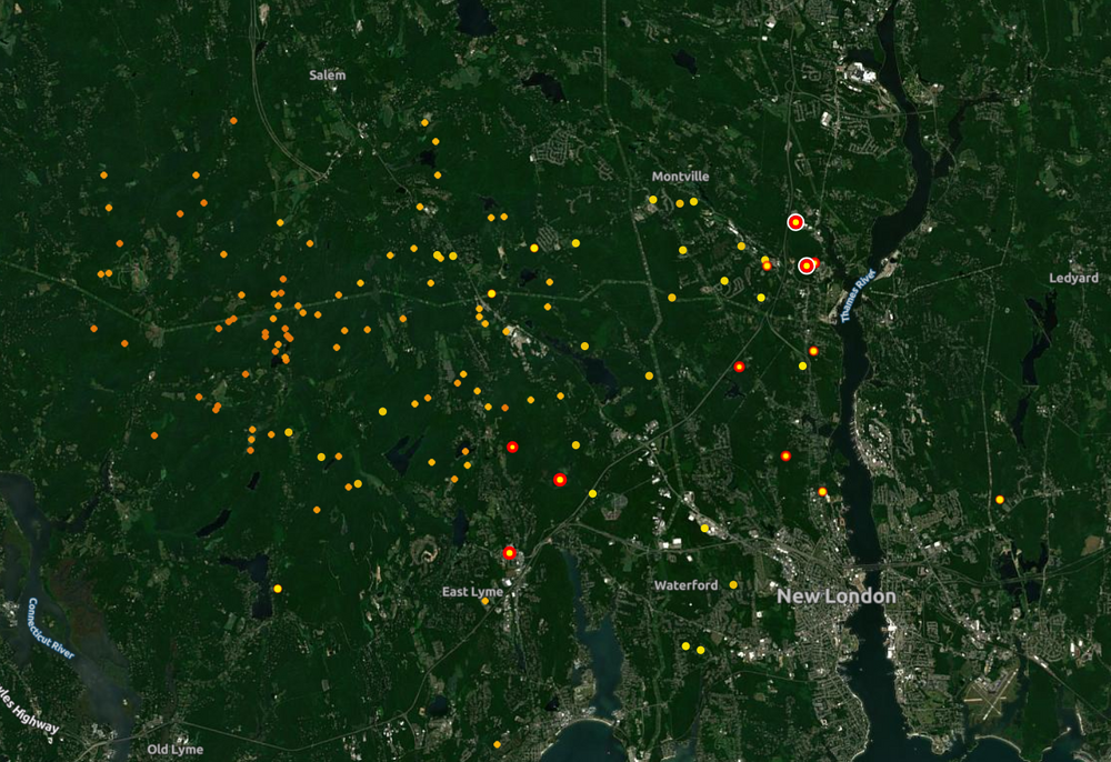
Chased this stuff down to near Trumbull. Decent winds along with some very heavy rain and some lightning. Saw a few good CGs and the edge of the shelf driving along Rt 8 towards Waterbury. Back to Springfield soon!
-
.54 here now. We take.
-
No. I thought about it once. I’m disabled though.
-
Temp down to 72 after a high of 93. Gonna be a steamy evening however. Summer of yore.
-
Janky LL lapse rates and a warm nose aloft will be the bullet in today in the favorable corridor.
-
Do you work for GRR?
-
No wind here, but my farther in Bridgeport says it’s really sundry. .31 so far and still raining
-
Crush job here. Torrential rains and wind
-
Not too shabby. Heavy rain, semi frequent lightning.
-
Pretty impressive wind gusts and lots of lightning all around the house. Best storm in ages around here.
-
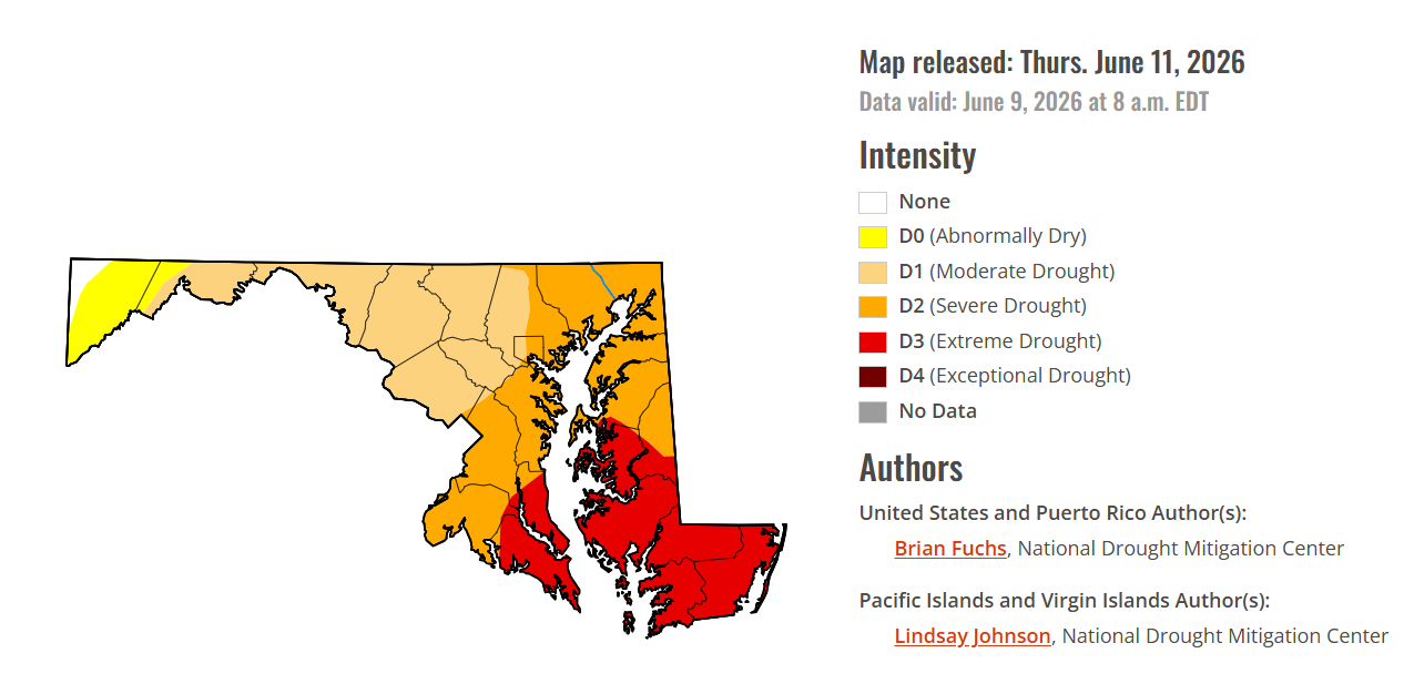
Yeah the severe threat for today and tomorrow really went down the drain. We have a slim chance of seeing something tonight -- we'll have to see if the PA showers/storms survive into our area. If we see anything it probably won't be until 10 or 11 tonight. Way after daytime heating, so bad timing. And the models aren't showing much activity for tomorrow. We've officially moved into a severe drought now. With very little rain in sight, this is looking like a very bad situation as we move into early summer. It's so frustrating when we don't get enough rain this time of year.
-
If I’m not mistaken the forecast models were showing ample LLJ strengthening this evening
-
Just thin translucent cirrus up here. There is some downdraft CAPE on this side of the lake as opposed to Wisconsin, so there could still be an evening squall with the strong low level jet mixing down in spots. It’s just the convection itself looks to be elevated and unorganized.
-
it's moving so fast that we might not get all that much maybe .25
-
The timing may be after daytime heating is subsiding - it's possible that instability could become more elevated versus surface based is my assumption.
- 498 replies
-
- 1
-

-
- severe
- thunderstorms
- (and 7 more)
-
Yea. It looks like heavy rain chances are actually going up. Along and south of I-80 is where the sups will be though.
-
86/74 Maxed out at 92
-
Your still going to get plenty of rain and thunder out of this.
-
I just came to say, I may be eating crow on the rain. Currently on the lake and was watching some towering cumulus/stratus as depicted on radar to my SW. It appears to be hitting a brick wall. Haven’t even lost the sun over here yet. Just as quick as they were building they’ve dissipated to mid level haze. We shall see.
-
Curious as to why, meteorologically, they would not survive? From my very very novice observations, the ingredients seem to be present to keep fueling them. I would love to know what the pros and the models are seeing that could cause them to die out. Thanks for broadening my knowledge.
- 498 replies
-
- 1
-

-
- severe
- thunderstorms
- (and 7 more)
-
The rain is decaying pretty fast
-

Junorch obs and discussion 2026
Damage In Tolland replied to Damage In Tolland's topic in New England
Just little to no rain thru day 10 for SNE. Wait till weekend is 90 with low dews . By Monday morning lawns will be torched out . Starting around here now -
A bunch more rain behind the morning line boosted my daily total to 2.21". My June total is up to 5.97". Just about everyone in eastern Iowa got 1-2+", so the drought concern is fading.