All Activity
- Past hour
-
What about whole house battery back-up? @butterfish55 battery only installs a thing yet ? seems like if outages are short, battery tech might be far enough along to consider.
-
Probably does not do it justice. Why can’t Canada be burning some bacon or whiskey?
-
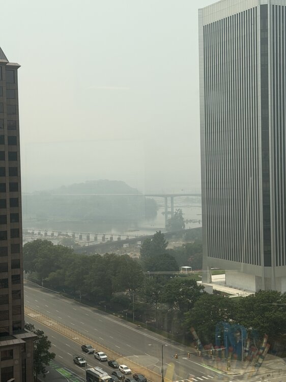
Lotta towers
-
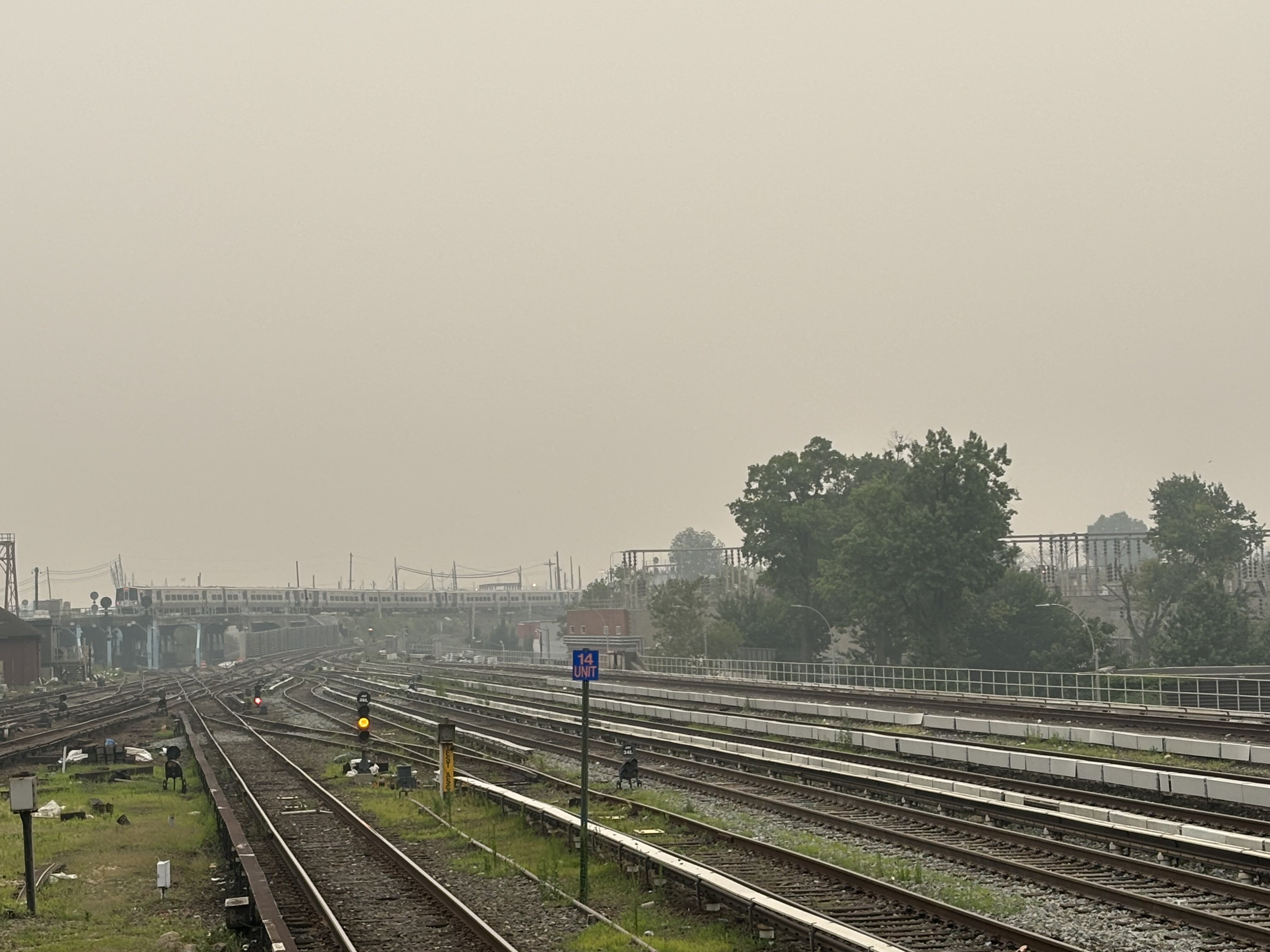
Driving thru Frederick it looks worse than it did when I drove thru this morning.
-

E PA/NJ/DE Summer 2026 Obs/Discussion
BBasile replied to PhiEaglesfan712's topic in Philadelphia Region
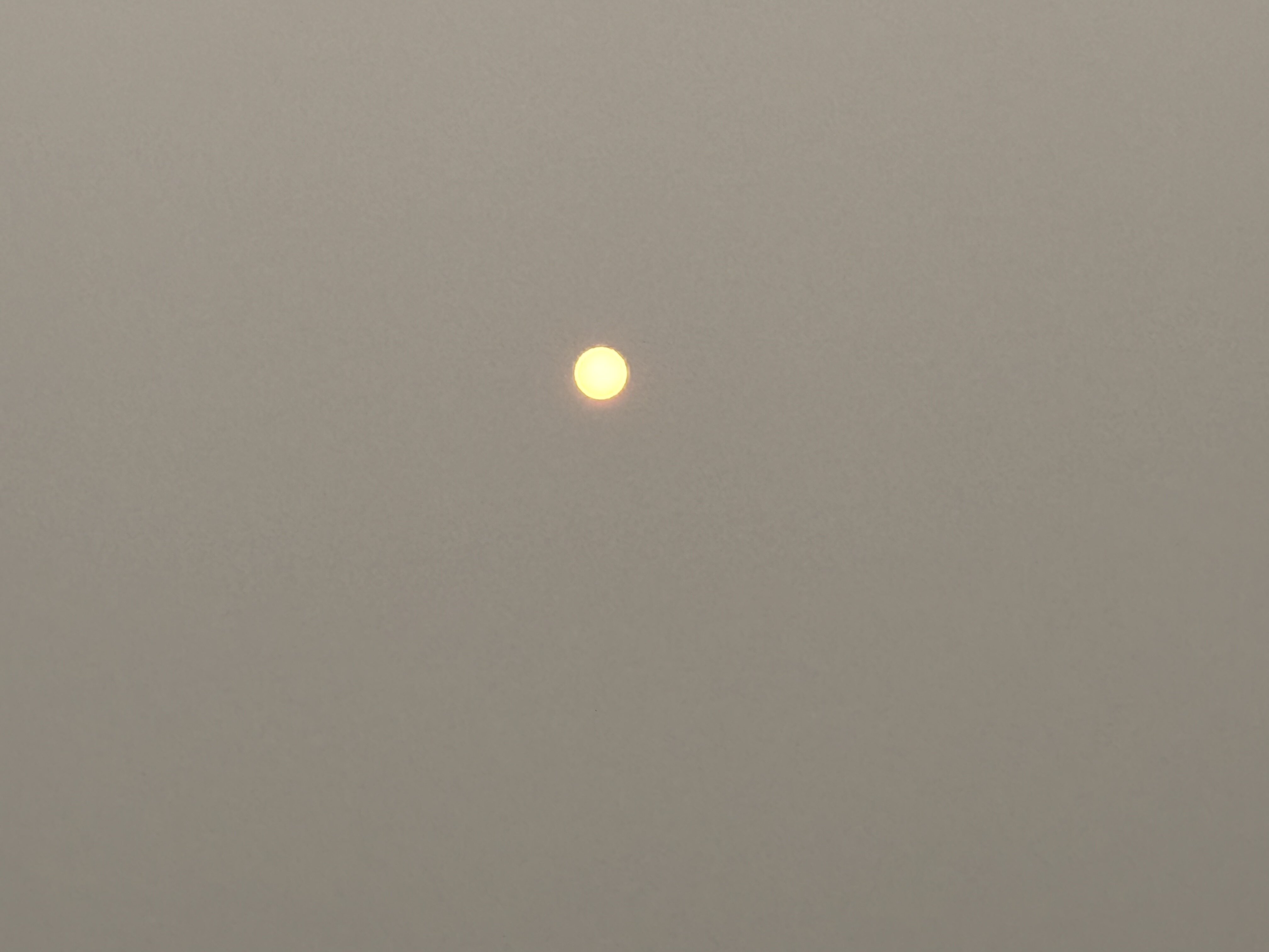
Unfortunately, it's still quite smokey here. Can still smell it, too. As someone who is an outdoor runner and cyclist, and absolutely despises treadmills, this shit sucks. Looking forward to it's exit as well..thumb.jpg.a28158674b035fee7a19b3ff7f900758.jpg)
-
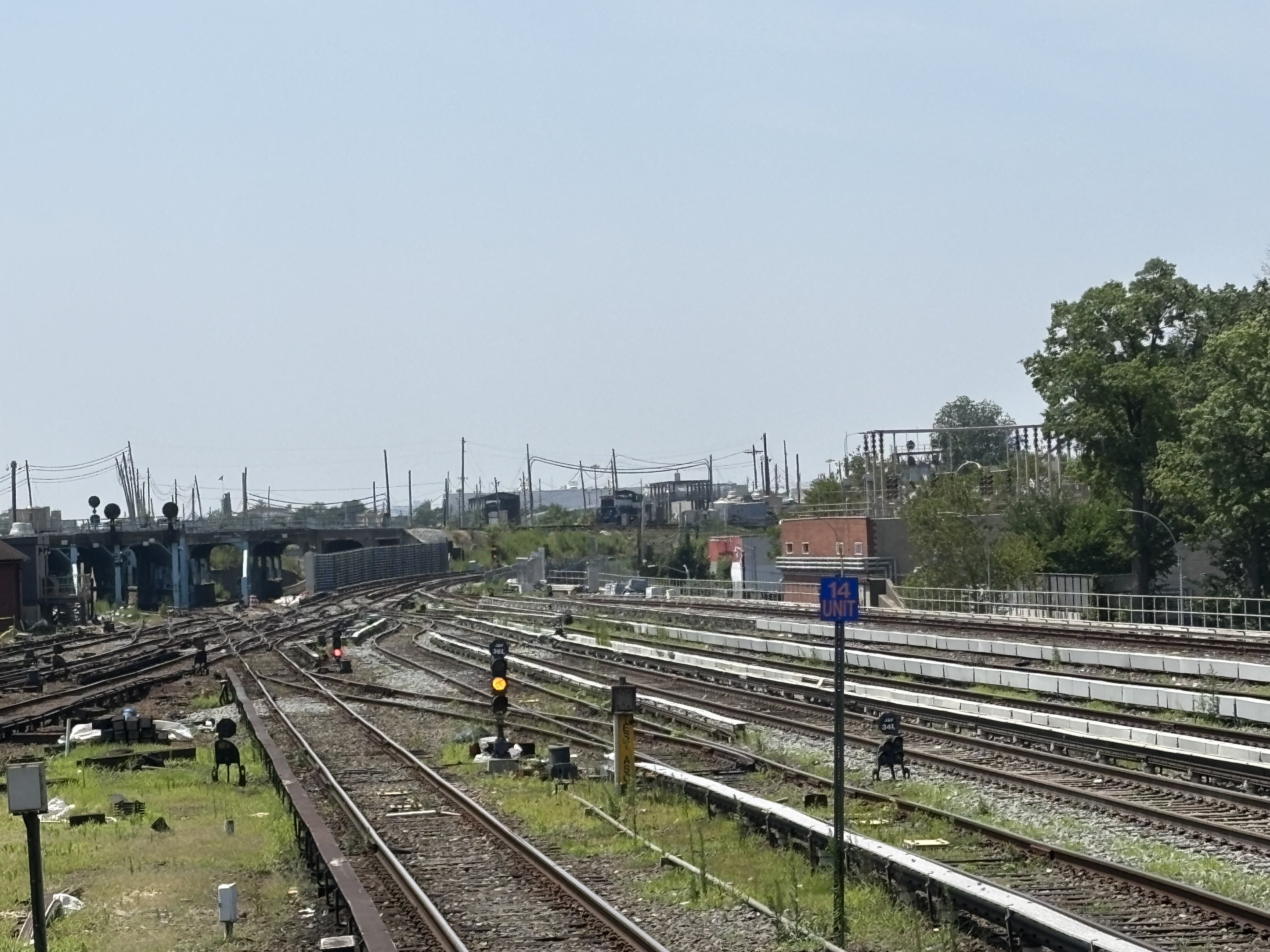
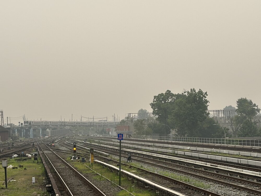
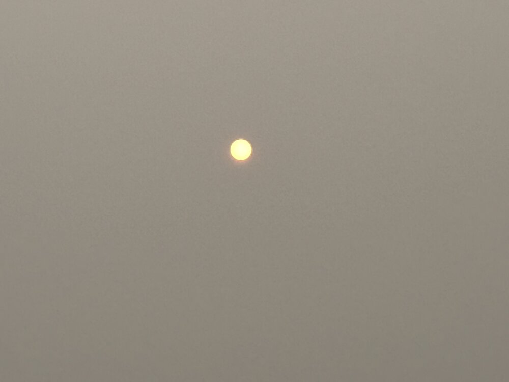
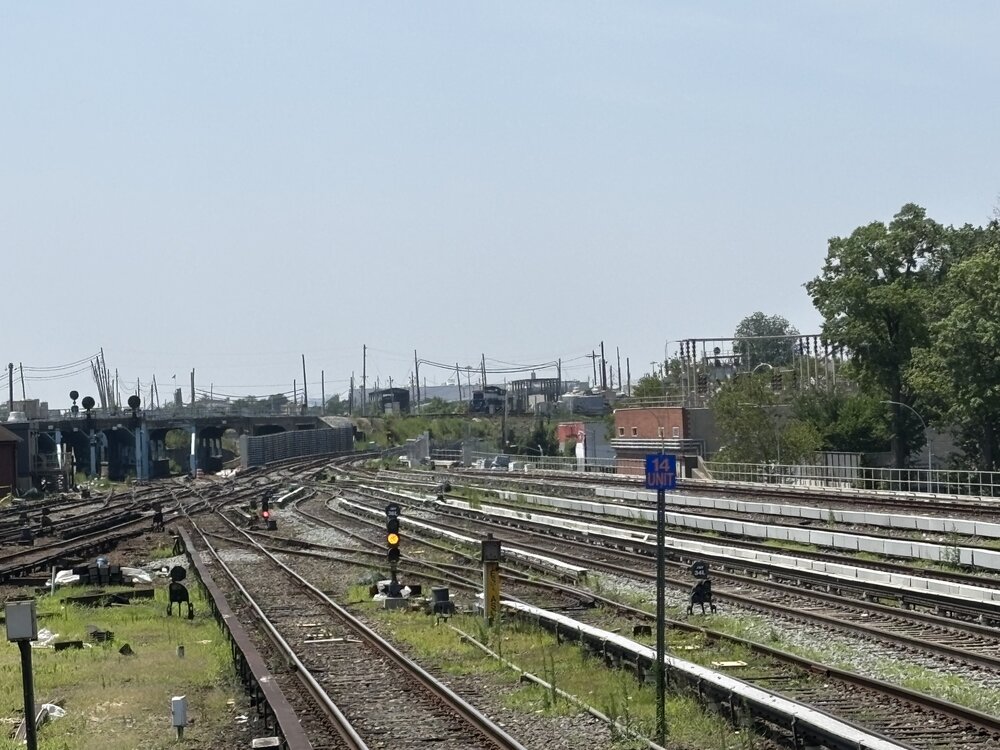
Same location about 19 hours later. Much bluer in the sky, a little haze with little humidity so it probably is a little smoke but no ill feeling in my chest and there’s a very distinct smell of a bit of smoke. But, much much better than yesterday early evening.
-
Had blue skies at home today. No smell if smoke but still hazey. Driving down turnpike you can almost see the cutoff from heavy smoke to light haze by Middlesex County area.
-
AQ Barney colors are not the purples I want. I want 24”+ purples in winter
-
SPC has three marginal risks out for Friday Saturday and Sunday Friday and Saturday are just for wind .
-
Thanks for the quick advice guys I'll probably go with a Generac. I'm a little worried about footprint and available space closest to where our gas/electric intake and meters, but I'll get the consultation and see. It's easy to lose motivation and keep kicking the can, but I guess worth at least seeing if logistically possible and getting a quote.
-
We began to dry out shortly after the super El Nino in 2023-2024 during the fall. The warmer climate requires more water than 50 years ago due to increased evaporation rates. One of the areas that needs more research are these expanding 500mb ridges that get stuck in place for weeks to months. So we get regions with record drought under the ridges which are bounded by record flooding like we are currently seeing in Texas. The more erratic precipitation patterns are a real challenge for the agricultural and landscaping fields. Since long range precipitation forecasts beyond a week or two aren’t the greatest. Trying to figure out where your local area will end up between the wet and dry extremes isn’t the easiest to navigate.
-
Sure it's getting better, but I mean hey people, we got a Purple Alert. That's the Air Quality version of a Tornado or Hurricane Warning. We did it! Something we can all be proud of.
-
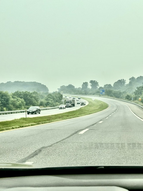
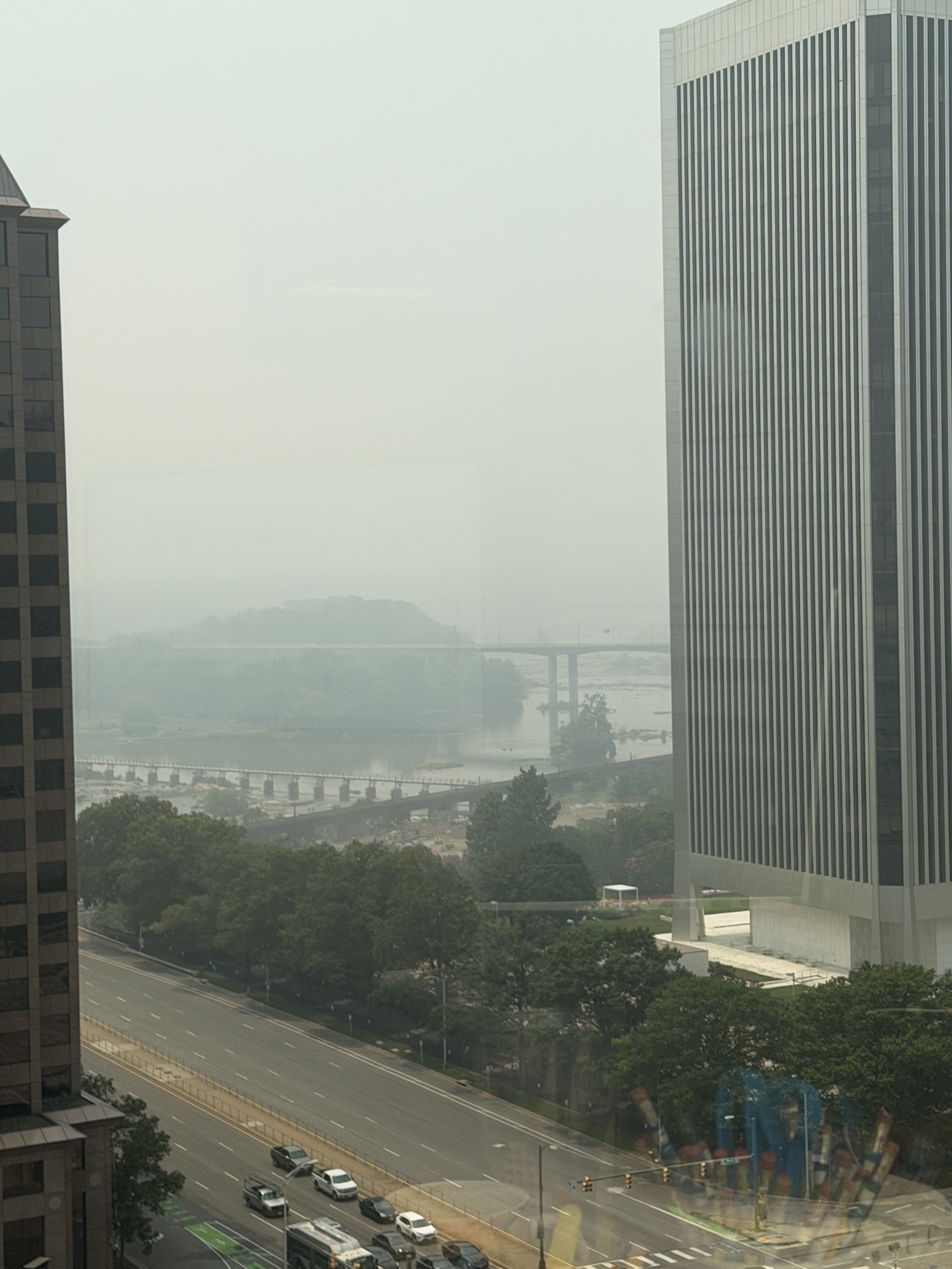
Blech
-

2026 Atlantic Hurricane Season
WxWatcher007 replied to Stormchaserchuck1's topic in Tropical Headquarters
-
2026 Atlantic Hurricane Season
WxWatcher007 replied to Stormchaserchuck1's topic in Tropical Headquarters
That would be the way to make it happen. -
12Z UKMET has moved TCG back up to Sunday (AM) and in E GOM. Becomes TS Mon night. It initially moves WNW followed by slowly SW/SSW after hr 144 into N Central GOM, similar to 0Z run (slow movement throughout): NEW TROPICAL CYCLONE FORECAST TO DEVELOP AFTER 42 HOURS FORECAST POSITION AT T+ 42 : 26.9N 84.8W LEAD CENTRAL MAXIMUM WIND VERIFYING TIME TIME POSITION PRESSURE (MB) SPEED (KNOTS) -------------- ---- -------- ------------- ------------- 1200UTC 19.07.2026 48 27.4N 85.1W 1012 25 0000UTC 20.07.2026 60 27.8N 85.7W 1009 26 1200UTC 20.07.2026 72 28.2N 86.5W 1008 27 0000UTC 21.07.2026 84 28.1N 87.3W 1005 31 1200UTC 21.07.2026 96 27.9N 87.5W 1002 38 0000UTC 22.07.2026 108 28.6N 87.6W 1000 43 1200UTC 22.07.2026 120 29.3N 88.2W 1003 44 0000UTC 23.07.2026 132 29.5N 88.6W 1004 35 1200UTC 23.07.2026 144 29.2N 89.1W 1005 33 0000UTC 24.07.2026 156 28.4N 89.5W 1003 36 1200UTC 24.07.2026 168 27.7N 89.7W 1002 40
-
It's 12:52 and it 92/84 for a feels like of 118. Nasty out there. Our high for the year is 98 right now. Might break that today.
-
We started talking Monday about the potential for homebrew this weekend and now we have a seedling off the west coast of Florida. The visible satellite shows what looks like a mid-level circulation with a complex of thunderstorms. This area is related to a stalled frontal boundary, which is a climatologically favored way for homebrew development this time of year. The environment is marginal, but in my estimation more favorable than what we saw with our first and only TC of the season so far, Arthur. The area its expected to traverse is one of the warmer spots in the Gulf relative to normal. Looking at Euro and GFS analysis, while there is modest dry air lurking, moisture seems to be present enough to allow for convection to fire should this want to organize. A true limiting factor eventually may be the presence of shear to the north, but at the moment that is not hindering today's convection. The biggest factor IMO on whether this is able to develop, is how much time it has over water. This area is in a location trapped between a ridge in the Gulf and a ridge in the western Atlantic, which should allow it to meander for now. However, as a trough swings in, that will open a path for this to get shunted north/NNE. If that happens, development will be unlikely. The GFS, which has been far less bullish on TC genesis chances from the very beginning, shows this well. However, if that trough is not able to turn this area quickly, it could get trapped under a building ridge in the wake of the trough, pushing this further west and keeping the window for development open long enough for genesis to occur. The Euro AI has been most bullish on this scenario. The ensembles have waffled back and forth, but this season I've been putting more stock into the AI ensembles and GDM (Google DeepMind). You'll see a modest signal below from both the Euro AI and GDM, and the further west the low tracks the better the chance for development. So today it's worth watching how this area off the FL coast tries to fire persistent convection, and if it can organize as a result. This weekend the trends on track will be crucial to whether we see homebrew development or not.
-
The SKY!! I can see the blue sky, and smoke has thinned
-
We improved to 248 (purple). I’m hoping the maroon from this morning is over with.
-
Definitely gross out there but I remember 2023 being worse.
-
The June 2012 derecho would hit the spot rn.
-
A true frog strangler is growing over me currently. No real movement. Just expanding in size.
-
Gfs with a death mcs Monday Riding it
-

2026-2027 Super El Nino
snowman19 replied to Stormchaserchuck1's topic in Weather Forecasting and Discussion
Absolutely classic, strong El Niño VP and OLR standing wave convection in place in the PAC now. Fully coupled and Bjerknes feedback has become well established, making it a self-sustaining system. The MJO waves are constructively interfering as well. In your maps, you can see the subsidence around the MC and Indonesia, which is only going to increase when the +IOD gets established over the next month. It’s off to the races now with another massive WWB coming up and another DWKW barreling itself east to warm the subsurface and surface even more, I think we see anomalies reach +10C to +12C in the subsurface in the coming weeks This is a textbook east-based event:




.jpg.ce96d6bb6a5125de704188bb6cdbf740.jpg)