All Activity
- Past hour
-

January 2026 Short/Medium Range Thread
Holston_River_Rambler replied to John1122's topic in Tennessee Valley
I was kind of surprised that the Euro AIFS jumped so far north at 12z. It booted the Baja low low fully out for the 25th system. Plain old Euro OP does it too. A lot rests on what happens to that Baja low. Previous runs had it waiting to kick out for the 28-9th system on the Euro AIFS. -
They have to bench him if they want to actually have a chance in this game. After his rookie year when he looked promising, he has turned out to be a dud.
-
I think it’s interesting how cold chasing moisture has no shot to work in the foothills, but it can work out for a quick pasting for anywhere from Winston-Salem on eastward. This isn’t even a bittercast; it’s just a statement of fact. If the cold is not present when the moisture arrives, downsloping will accompany the incoming cold air and dry up any residual moisture that be present. Cold chasing moisture also works in the Midwest and plains because the downsloping doesn’t occur there either. .
-
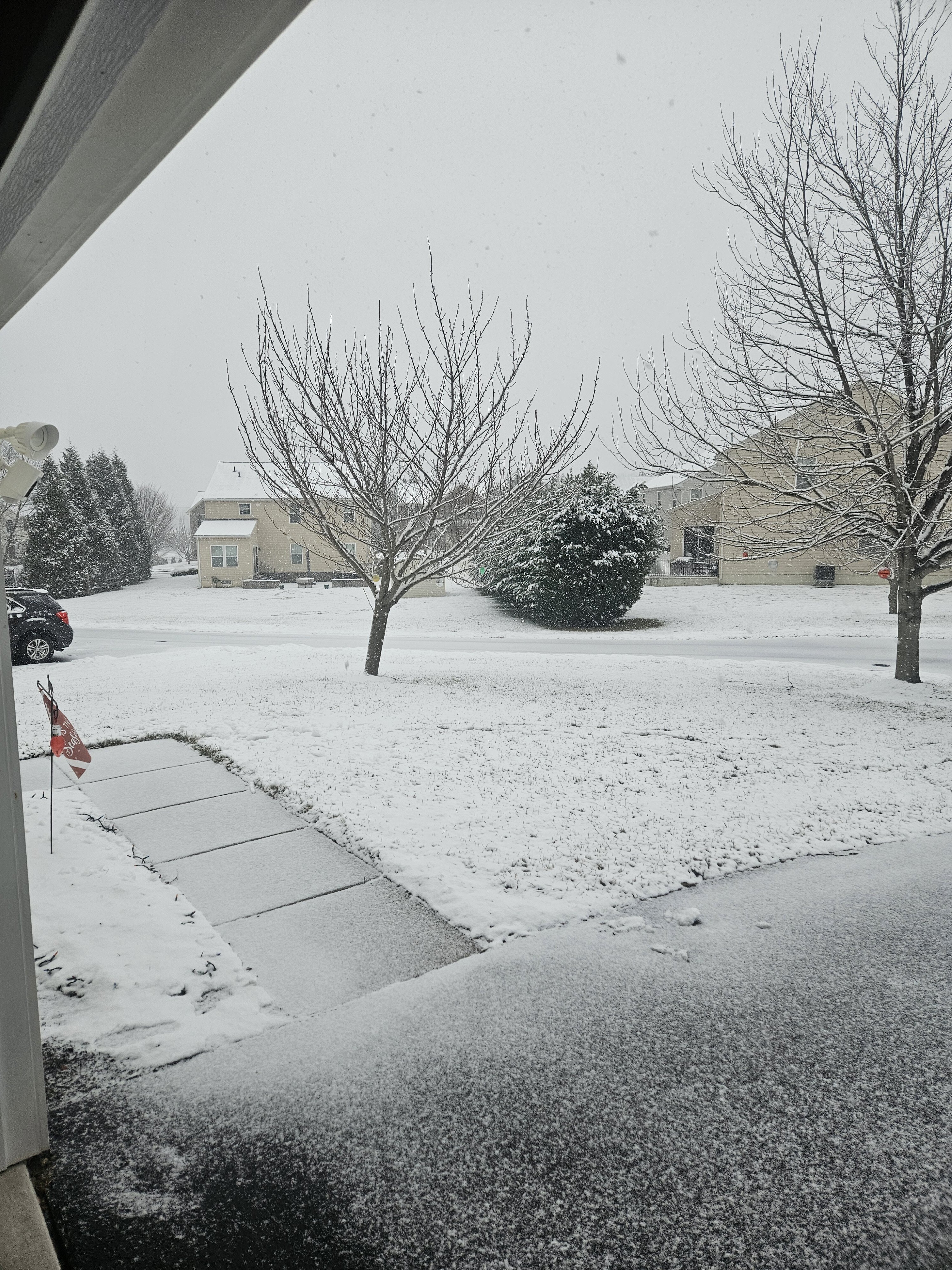
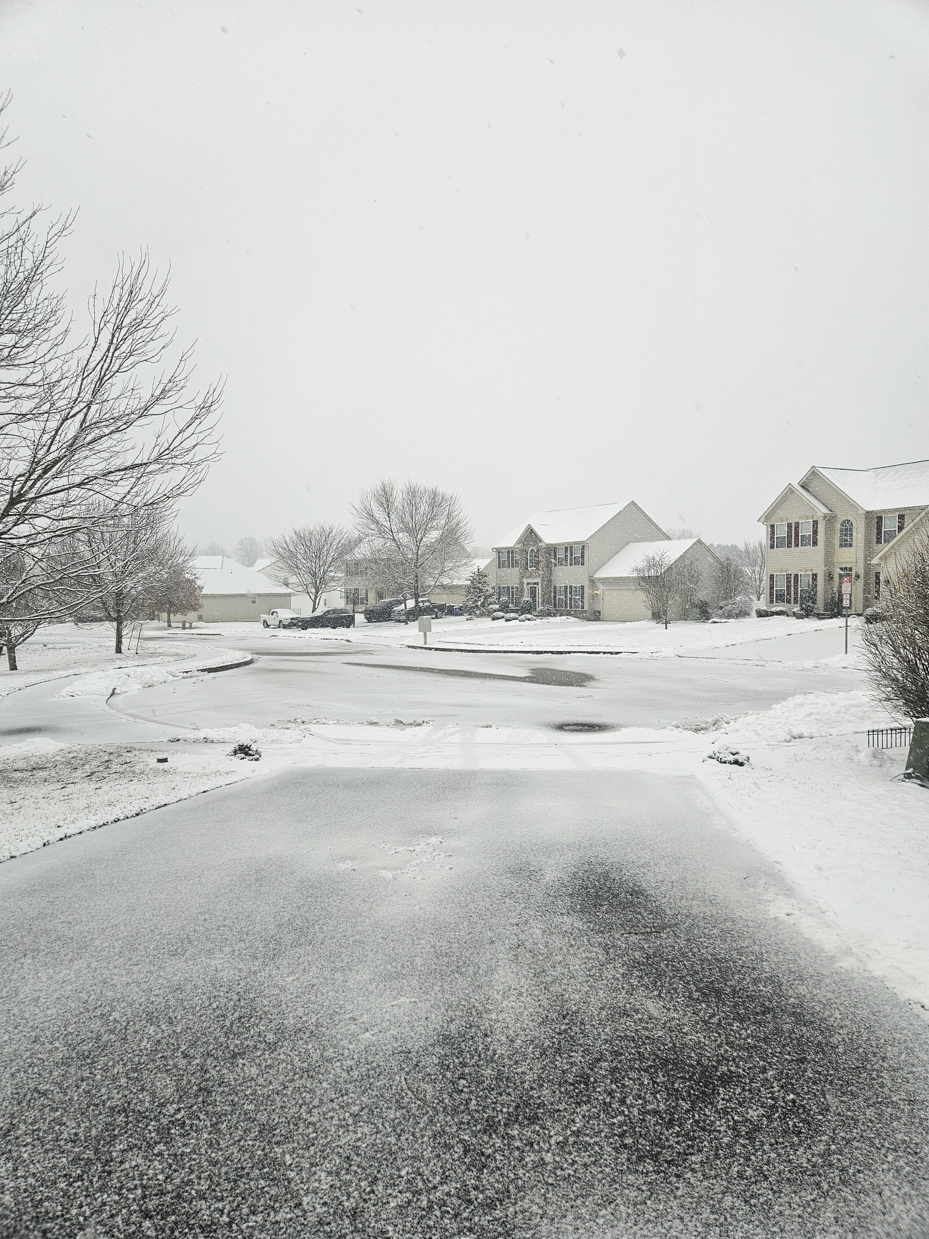
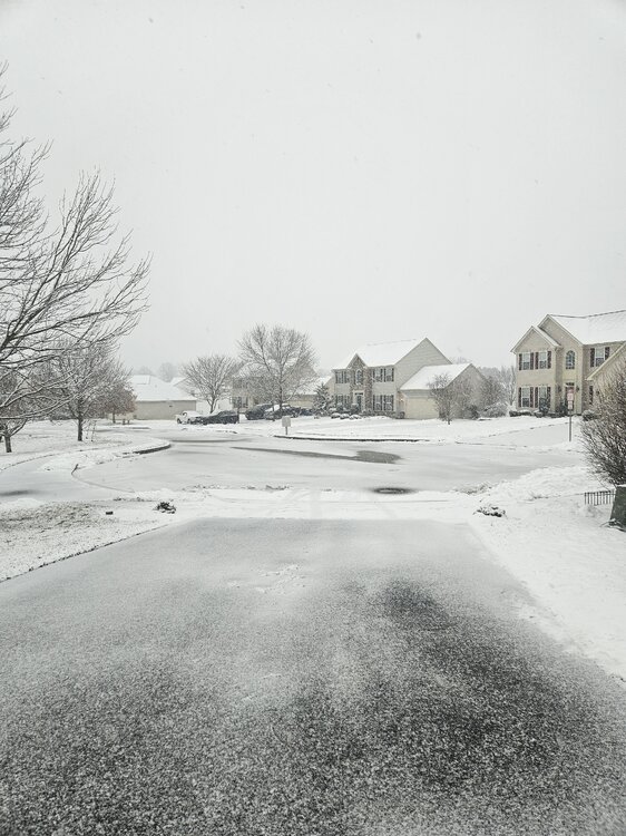
Beautiful snow with everything covered but the paved areas.
-

Storm potential January 17th-18th
Wxoutlooksblog replied to WeatherGeek2025's topic in New York City Metro
Dynamics are out over the ocean. Guidance never showed any. We need big flakes gonna be tough to get them. WX/PT -

January 2026 Medium/Long Range Discussion
Scarlet Pimpernel replied to snowfan's topic in Mid Atlantic
Ahh, thank you. Yes, I recall hearing about under-dispersiveness in the AI ensembles (both Euro AIFS and the AI-GEFS). I wonder if going forward, that can be remedied in the future, either by somehow perturbing the initial conditions better or how the training is done for each member. -
Oh man, I'm getting... ...vibes. Just to make it clear, I am not saying we will fail this time, I am still incredibly optimistic. I'm only making the connection because of the amount of hype we have right now.
-
Gunna' be a lot of folks with bloody sleeves over this post.
-
Just an aside...the Euro Weeklies keep winter ongoing through Feb w/ a break between maybe Feb2-7th. Cosgrove said last night that the pattern may not break fully until the first week of March.
-
So many purples in the ensembles. I'm ready to put all my chips in.
-
Moderate snow and 27.

-
Light snow 34 here
-
December 2018. I think. .
-
So, I checked the ICON for shits and giggles. has the same features as the Euro, but the s/w out west looks like it's gonna sit back there vs moving out on the Euro
-

January 18th Back Door NW Trend Snow OBS Thread
BBasile replied to Mikeymac5306's topic in Philadelphia Region
HRRR still holding for a couple inches here over the next 4 hours. -
I am here to be crushed or elated based off an 18z run of the GFS for a storm 6-7 days out. Let’s do it
-
The @AMZ8990ice storm....this looks like it could be a redux of that bad storm you all had. Just not sure about E TN yet. What year was that, @AMZ8990? Temps were in the teens while freezing rain and sleet were falling.
-
Lt snow here. No accumulations I'm sure. But I felt the need to post and feel the joy.
-
Snow TV good
-
Trace of snow both days this weekend.
-

Storm potential January 17th-18th
sussexcountyobs replied to WeatherGeek2025's topic in New York City Metro
I gotta give props to Vernon Township DPW. They've been on point today. Probably came by 10 times already. Roads in neighborhood are perfect. -
You have said that your entire life, unfortunately it never happens.
-

Rise of the Machines: January 18-19 Winter Storm Obs Thread
Torch Tiger replied to WxWatcher007's topic in New England
wow...flaccid is right. what a letdown -

Winter 2025-26 Short Range Discussion
Powerball replied to SchaumburgStormer's topic in Lakes/Ohio Valley
Looks like the models are indicating a possible I-94 / I-96 LES convergence band in Michigan, all the way over to the Detroit area... -
As I have stated prior, the Jan 96 snows were wild. Knoxville would get lots of ice/snow. TRI just got slammed w/ heavy snow. It was wild driving home. @Holston_River_Ramblerand I were talking about that in this thread. I would see 4-5" of snow until around mile marker ~45 on I81. Then, it just started getting deeper. Knoxville's roads that winter were terrible. Knox Co ran out of snow days by quite a bit. I would guess areas of TRI got 30-40" of snow with those two storms. I will add...this gradient is most assuredly going to wobble north/south on modeling, and maybe right up to the event. Very tough to nail that down boundary. Cold has been over-modeled recently. I would guess the southern solutions do not verify. I would also guess someone in this forum is going to have frozen precip falling into temps which are in the teens...west TN would be my first pick. E TN is a toss-up, but ensembles really like snow/ice in E TN as well.