Daniel Boone
-
Posts
3,542 -
Joined
-
Last visited
Content Type
Profiles
Blogs
Forums
American Weather
Media Demo
Store
Gallery
Everything posted by Daniel Boone
-
Out Back Lawn.
-
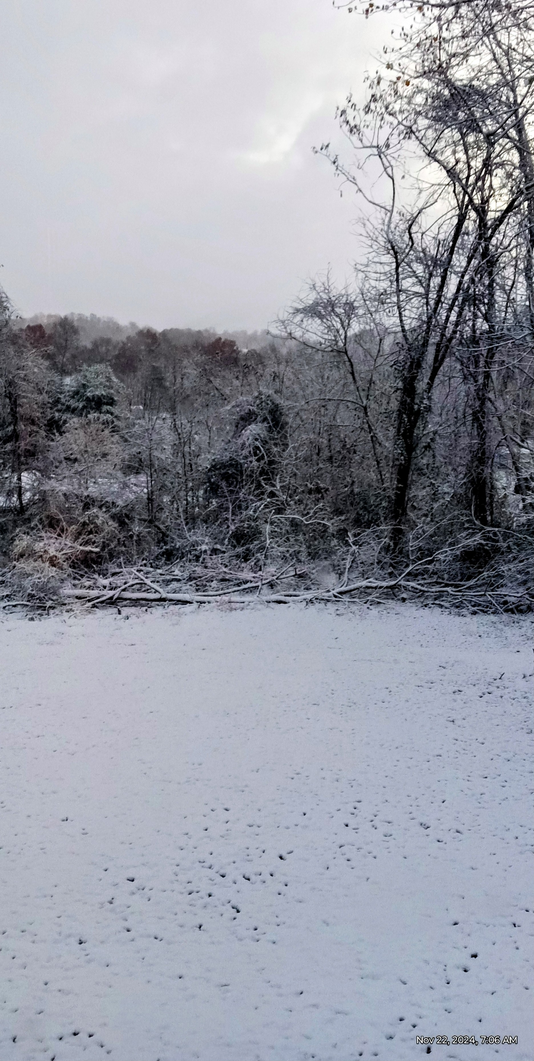
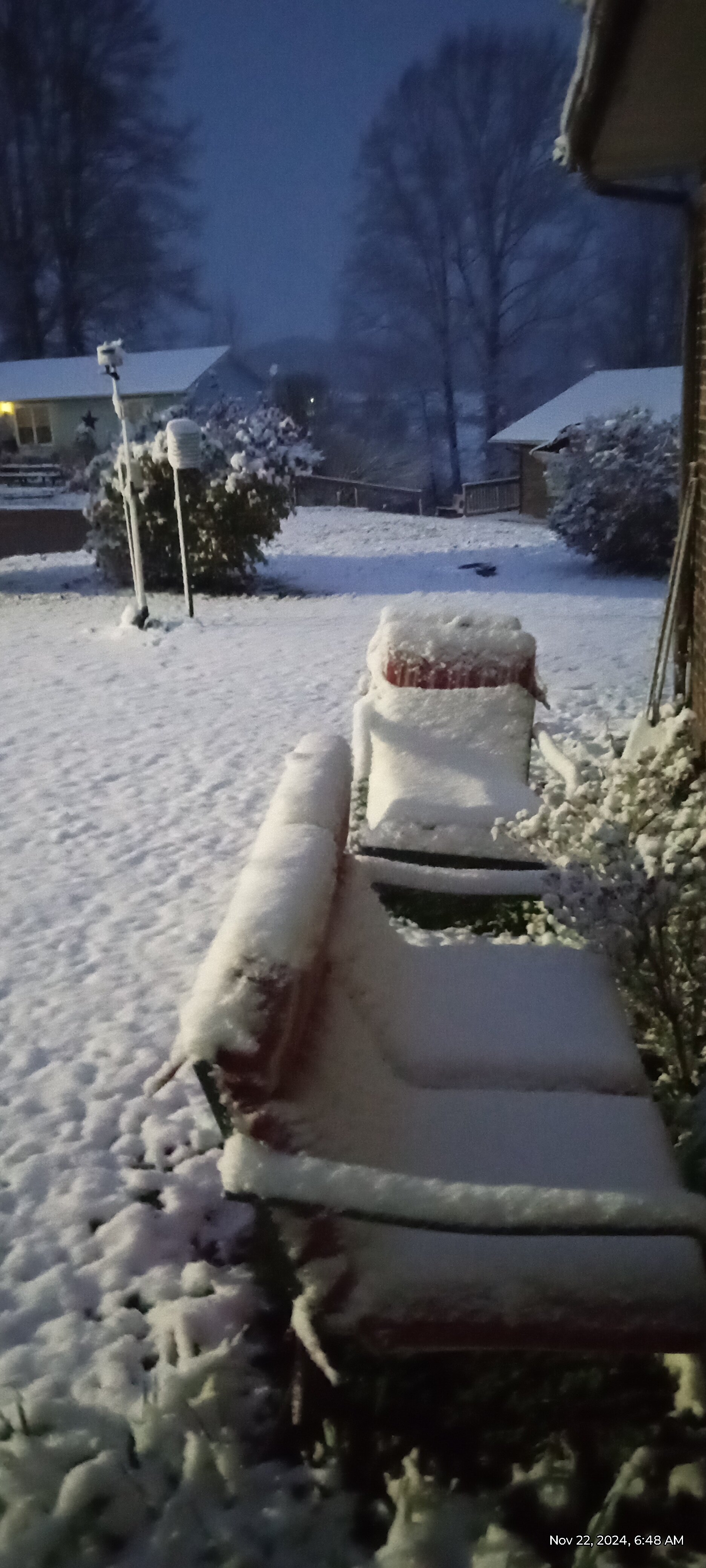
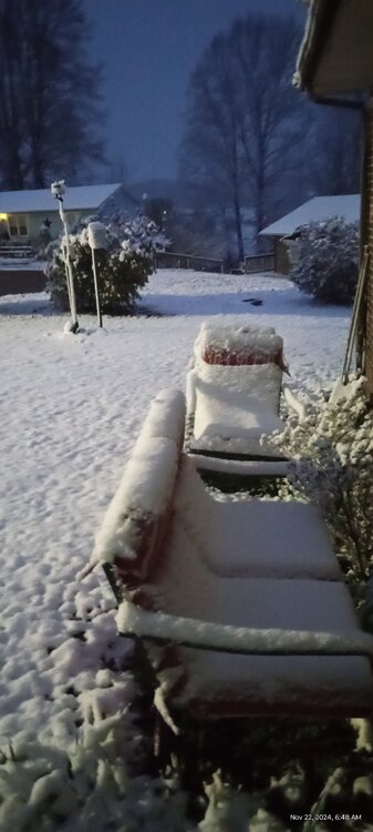
Measurement of 3 inches of Snow here 3 miles east of Jonesville VA on Snow board and raised Surfaces as of 6:30 AM . 1-3 on ground. Warm ground causing melting underneath. Some light snow still falling. Temperature is up to 31.7 so melting getting ready to take place. Pic is of Lawn Chairs where it all stuck.
-
Is that hunting Dogs ?
-
Yeah. It's melting underneath.
-
That's sad man. We had flakes like that this Afternoon in the Snow Shower's but was above freezing so didn't stick. A dusting from those in the heavier ones but melted quickly.
-
About an inch here . Rather surprising considering the small flakes although, quarter inch diameter flakes came down thick for awhile so, apparently why. Hopefully, Snow fills back in.
-
You're getting the larger Flakes. Must be the Temperature difference allowing for more lift and precip production. Demarcation. More going to mount up further South than Forecasted.
-
About an inch here now. Been steady small flakes. Had we of got some larger flakes we'd be in great shape. Currently 30.0 degrees.
-
Spoke with NWS. Snow is falling there but not sticking yet.
-
Hmm..rather odd but, occasionally does happen. I'll call the NWS and see what they have.
-
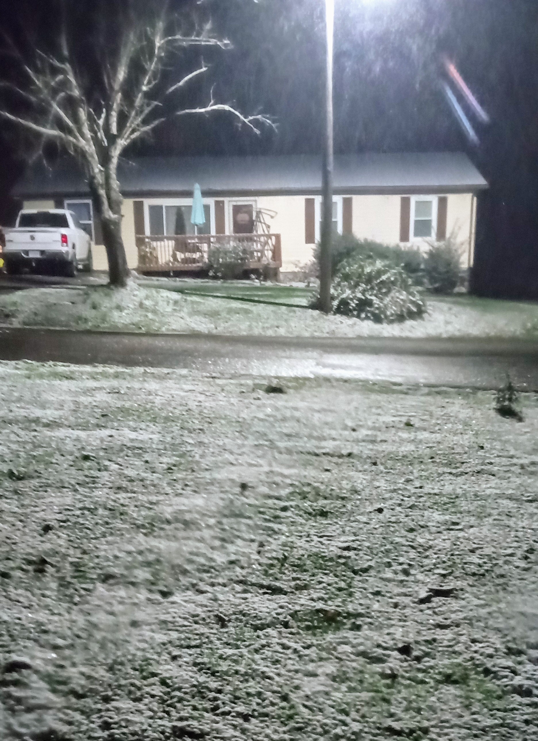
Another Pic.

-
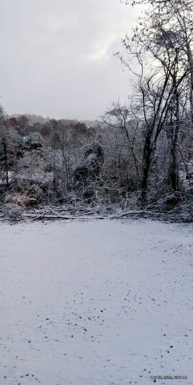
Just took this.
-
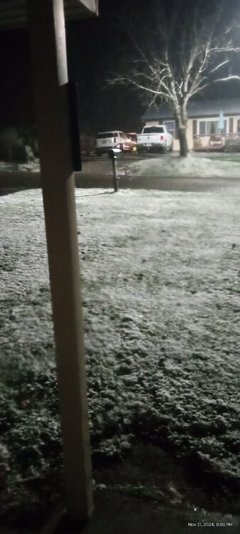
 A dusting here currently as steady light snow began at 6:30. Short heavy snow bursts fell during the Afternoon dusted surfaces then quickly melted. Current Temperature 31.
 -
Steady lt snow started back here around 6:30 and is continuing. A dusting on grass and vehicle's. Some sticking on Roadway's as well. Temperature of 31.
-
Steady lt snow currently. 36 degrees.
-
Getting heavy snow showers here in Lee County currently all the way to the Valley floor's. Began around 1.
-
The current -EPO, the longer it holds the more those SSTS warm in the GOA . The more these LP's continue to traverse over the area around Newfoundland and off the NE Coast, the colder those SST'S will get and in turn should feedback and allow for better odds of a colder Winter than pretty much all of us have been expecting due to it pumping up Greenland blocking. The building +QBO will resist that the further we get in Winter though. if some mechanism locks the opposite pattern in long enough it could go back to where we were going . In 89-90 that actually happened after a solid cold December. The Pattern did an unusual sudden 360 flip by New Years day. The MJO will probably foul us up a few times but, it appears as of now it may be more prone to be low amp with less influence. Hopefully that's the case. Just my antique 2 cents worth (if that).
-
Looks like it wants to continue a-EPO and -NAO.
-
Summer-Fall 2024 Weather Disco Med/Long Range
Daniel Boone replied to John1122's topic in Tennessee Valley
Temperature dropped 15 degrees in about 45 minutes here this Afternoon. We are now at 45.7 . 20 degrees below the High.- 688 replies
-
- 5
-

-
- heat
- thunderstorms
- (and 7 more)
-
Couple of those were good down here. The big great app Storm November 1950, couple 4-8 inch snow/ice events in January as well . 54-55 slightly below on snowfall . 11-12 terrible. 2013 decent. 21 and 22 good with avg to above Snowfall. 23 below avg snow but, not by alot. As far as this area, only one discusting one.
-
Yeah. The rapid cooling of SST'S south of Newfoundland and around Nova Scotia a case in point.
-
I'm with you on your thinking now. I am much cooler on my thoughts than previously however. SST changes in the Pacific and Atlantic key Domains along with what looks like the tendency for Alaskan Ridging and some Greenland blocking. The west pac hot blob has cooled considerably lately. The GOA is still cool but, so is the SST around the Aleutians. That can alter a constant GOA LP setup. Nina is basically non existent with a semblance more east based if recognized at all. The Atlantic cooled rapidly just south of the desired 50-50 area. That favors LP stalling more often around there. That would pump ridging toward Greenland as we have saw recently. There may be times we get that modern -NAO/SER Linkage. Hopefully, that won't be the case. From what I remember that happened when there was no 50-50 and the SST'S there were unfavorable. As far as those analogues Carvers, most were decent, average to good in Snowfall. A Couple of the less favorable. 2000-01 was about avg Temperature but below avg snow. 89-90, great record cold December with above avg Snow here but don't think at KTRI. Did a 360 last couple days of Dec and was very mild then on with way below avg. Snow. 2008-9 , near avg. Temp, slightly below Snow. The other's near avg to cold with avg to above Snow.
-
Yeah, as you said, that's not NWF Snow. Really doesn't look like much if any LE will get involved.
-
2024-2025 Fall/Winter Mountain Thread
Daniel Boone replied to Buckethead's topic in Southeastern States
May be thinking warm ground and subtracting. Some Models indicating more. If we could get that Lake Michigan band feed on down Totals will be much more. -
2024-2025 Winter Ideas and Discussion
Daniel Boone replied to Carvers Gap's topic in Tennessee Valley
Yeah, I was sold on a very mild Winter. Not so much now. Western Pac continues to cool rather fast and the SST'S in the N.ATL have rapidly took on a much better look , particularly close to the 50-50 Domain (a bit south) . More likelihood of LP settling there more often and pumping up a ridge into Greenland/NE Provinces. Of course, these days it appears there's a real Possibility of the -NAO SER Linkage. Hopefully the cold SST area being further S will help keep them spaced apart.