All Activity
- Past hour
-
Yeah just saw that. Going to need to see more of that today.
-
Depression setting in. Can’t even get a fantasy storm to show up
-

E PA/NJ/DE Winter 2025-26 Obs/Discussion
KamuSnow replied to LVblizzard's topic in Philadelphia Region
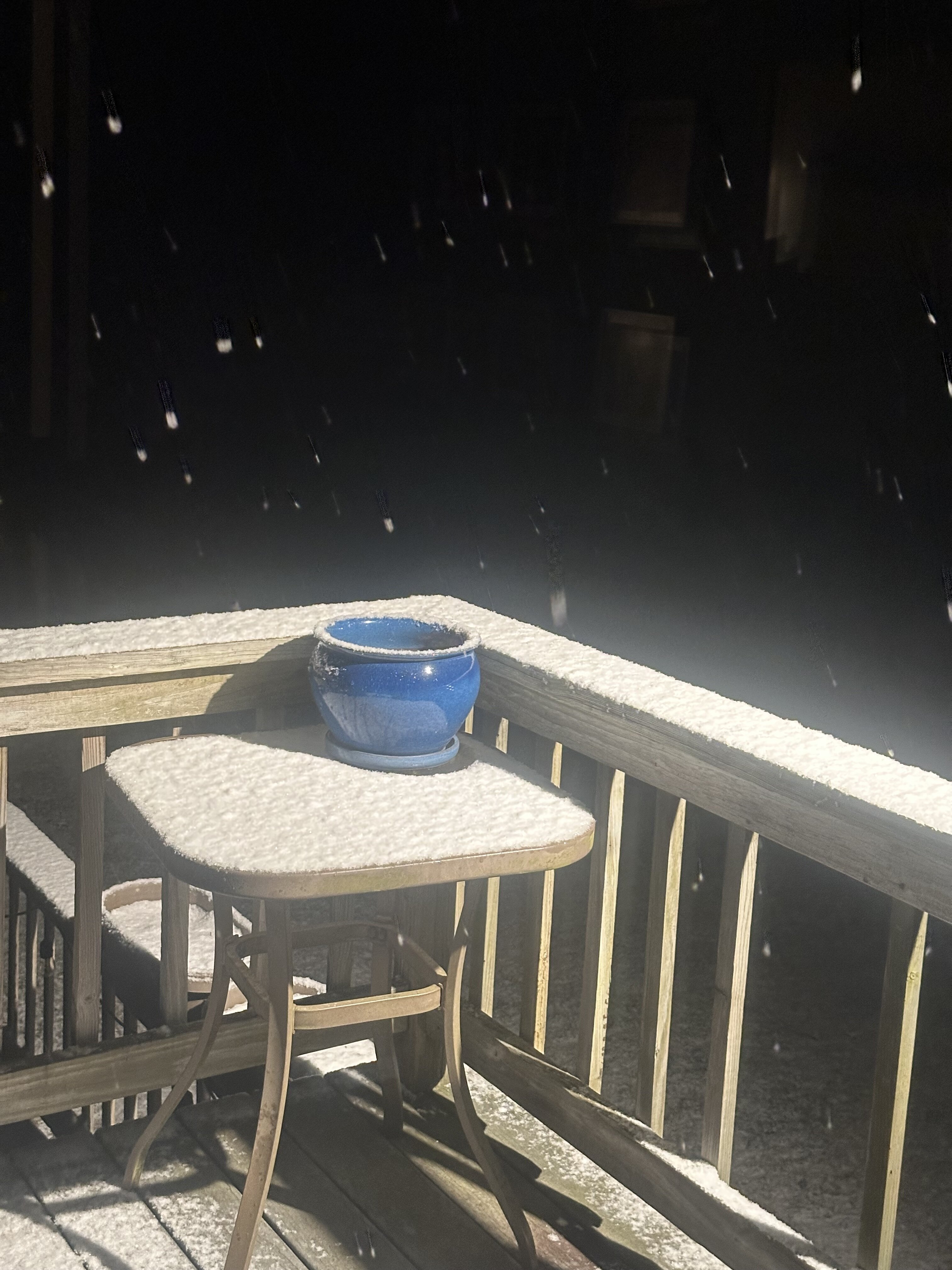
Moderate to heavy snow here at the moment, have a good coating, almost 1/2". Nice! Didn't expect it to be snowing this hard, even if only for a little while. 35F currently, dp is 23. Snow sticking to everything since it was below freezing earlier. Yeah baby! -
.thumb.jpg.6a4895b2a43f87359e4e7d04a6fa0d14.jpg)
Central PA Winter 25/26 Discussion and Obs
Yardstickgozinya replied to MAG5035's topic in Upstate New York/Pennsylvania
All snow right now at a moderate rate, big old fat radiant flakes again here. -
Central PA Winter 25/26 Discussion and Obs
Yardstickgozinya replied to MAG5035's topic in Upstate New York/Pennsylvania
I looked out on top of my pool just before the snow ,sleet mix started and there was the tiny bit of graupel on the ice that had fallen around 11:00pm last night. So between 11 and start time this morning, it looks like there was nothing. The tiny graupel shower I got here was so brief I would imagine, it had to be localized and it basically amounted to absolutely nothing here. . -
Radar looks like azz….Oh well better than 60 and pouring rain on Dec 23rd
-
Your Icon came way back N. Looks terrible verbatim for NYC which is why im assuming you didn't post it but a big hit for CT. Either way id rather have it trend in that direction than S again. Not that it means much coming from the Icon. This seems like a highly volatile situation and anomalous storm track. I don't recall any storms in the past that tracked like this giving a region wide warning event. I tried to look at CIPS but it seems they stopped running models on 12/18 for some reason.
-
06z is about the same
-

Central PA Winter 25/26 Discussion and Obs
Mount Joy Snowman replied to MAG5035's topic in Upstate New York/Pennsylvania
Low of 34 and a light coating of snow on all non-paved surfaces. -

Winter 2025-26 Medium/Long Range Discussion
A-L-E-K replied to michsnowfreak's topic in Lakes/Ohio Valley
The coping is starting as we watch prime winter climo slide by with bare grass -
Yep, it tries to sneak into eastern NY and western CT, but falls apart after that!
-
 Light snow. All surfaces covered. 30.8
 -
 All roads covered, nice start. Cant beat driving to the store in the snow with Nat King Cole on the radio.
 -

White Christmas Miracle? December 23-24th
moneypitmike replied to Baroclinic Zone's topic in New England
based on what I just read in the BOX AFD.....why? -

White Christmas Miracle? December 23-24th
Kitz Craver replied to Baroclinic Zone's topic in New England
Perrrrrrfect -

White Christmas Miracle? December 23-24th
TalcottWx replied to Baroclinic Zone's topic in New England
It's a horrific event. -
 0.2” on the board, Snowing pretty good currently. Sitting at 31F
 -

White Christmas Miracle? December 23-24th
CoastalWx replied to Baroclinic Zone's topic in New England
We lose the good warm advection that’s occurring right now from BGM to NYC. And then attn shifts to PWM. -

White Christmas Miracle? December 23-24th
Sey-Mour Snow replied to Baroclinic Zone's topic in New England
Snow sticking to roads now. Started at 5:30 -
Showing here. A solid dusting

-
White Christmas Miracle? December 23-24th
TalcottWx replied to Baroclinic Zone's topic in New England
Literally how it's been modeled for days. -
From NCEP Tuesday morning’s extended forecast discussion for 12/26-12/30. Note the word “now” picks up on colder trends. “THE COLDER NORTHERN TIER MAY SEE PLOWABLE SNOW CHANCES FROM THE UPPER GREAT LAKES AND NOW MORE BROADLY ACROSS THE NORTHEAST AND INTO THE NORTHERN MID-ATLANTIC AS SHORTWAVES AND FRONTAL SYSTEMS PASS THROUGH.”
-
I noticed this as well. Found out when there was some weather event I was interested in while getting cardio done before 6am. TWC had one of those dumb shows on and FOX weather had actual not half bad coverage. Thats how I even found out there was a FOX weather channel.
-
White Christmas Miracle? December 23-24th
Kitz Craver replied to Baroclinic Zone's topic in New England
Simulated radar for this event is showing something like Moses parting the Red Sea. The band approaches CT and Mass and goes poof lol -

Winter 2025-26 Medium/Long Range Discussion
Baum replied to michsnowfreak's topic in Lakes/Ohio Valley
Forecasted high of 41 now for Christmas. Zzzzzzzzzz…….