All Activity
- Past hour
-

Augdewst 2026: Summer's Last Stand
Damage In Tolland replied to Prismshine Productions's topic in New England
Looks like they get hit again tomorrow night. At this point it’s just laughable -
Uggg...nothing but junk in Fuquay-Varina...everything went poof! Again.
-
I get itchy bumps and found a few around my ankles the last couple days. I’m not even sure where they came from, though I was standing outside talking to people on a few occasions which is sometimes all it takes. That said, there’s been worse seasons imo. Totally opposite of the Vegas area where you can leave doors open and hardly get any bugs flying in.
-
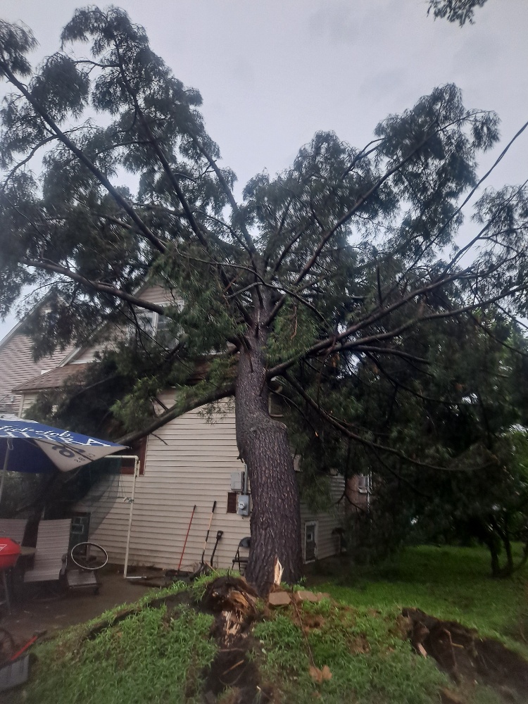
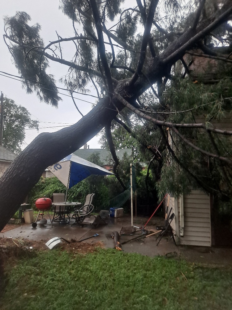
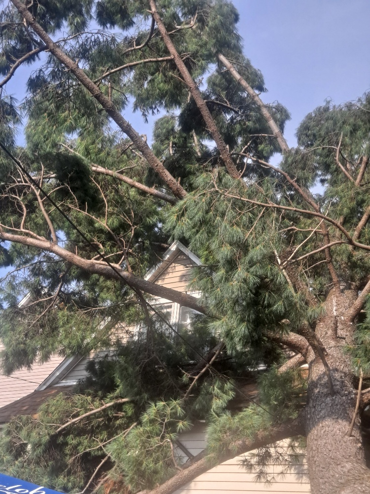
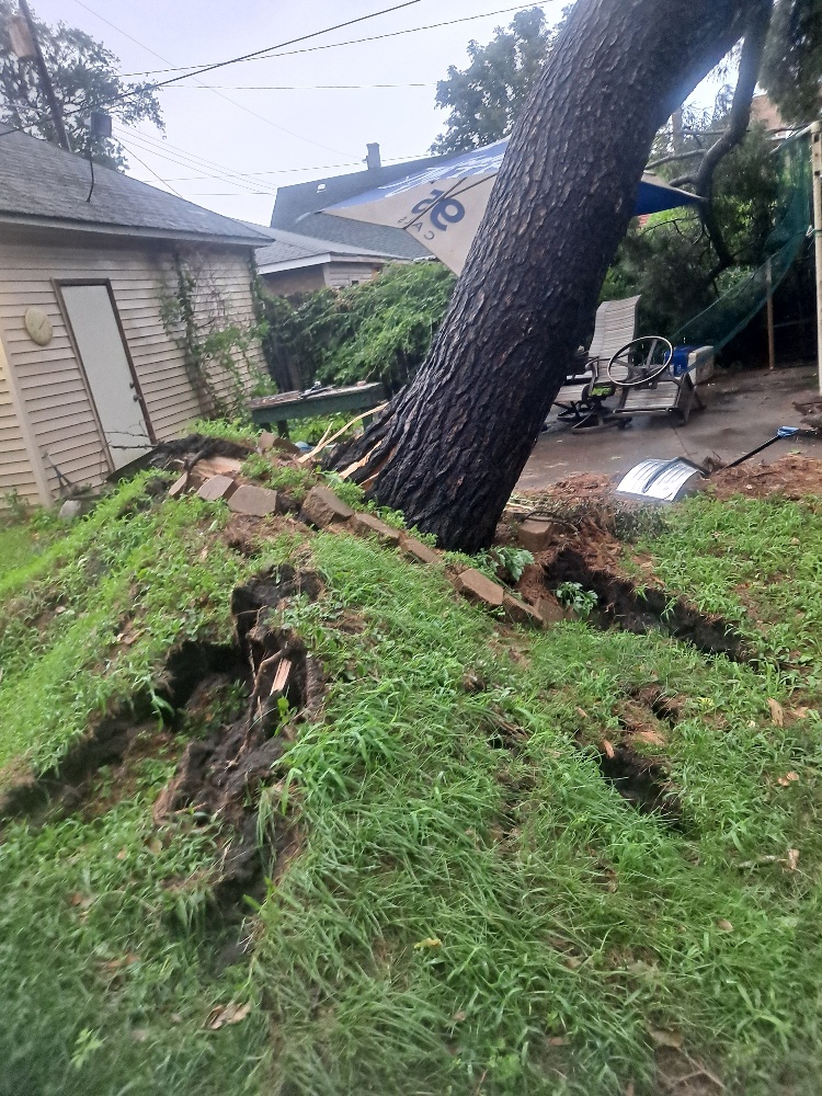
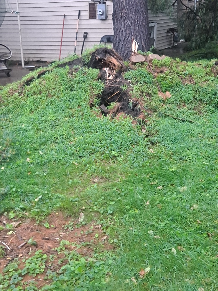
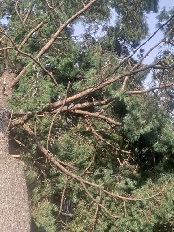
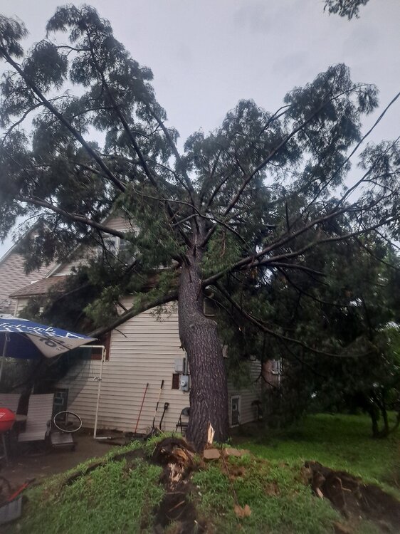
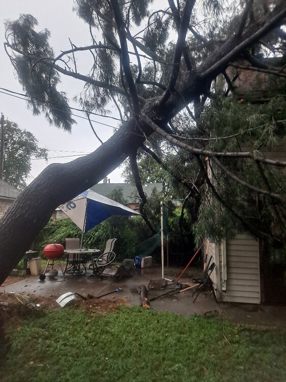
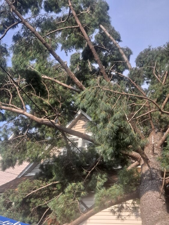
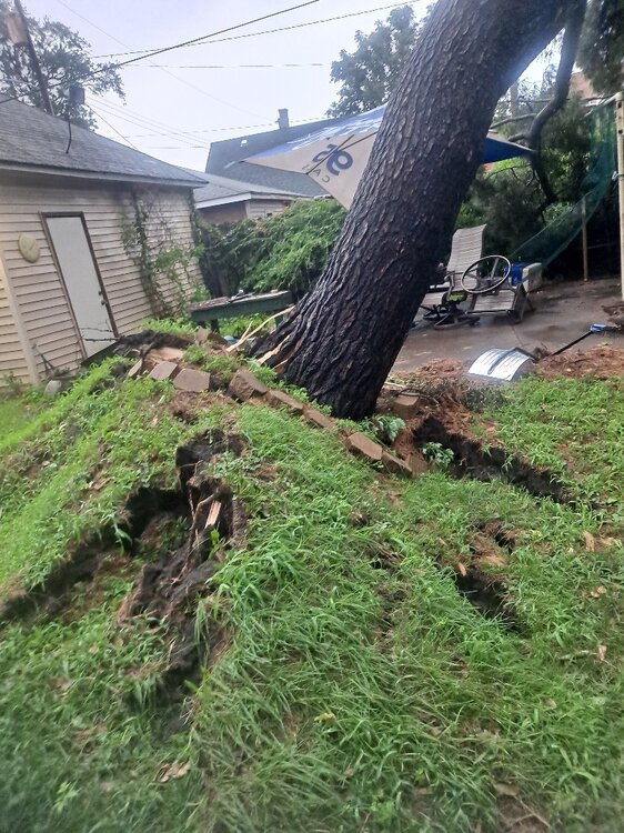
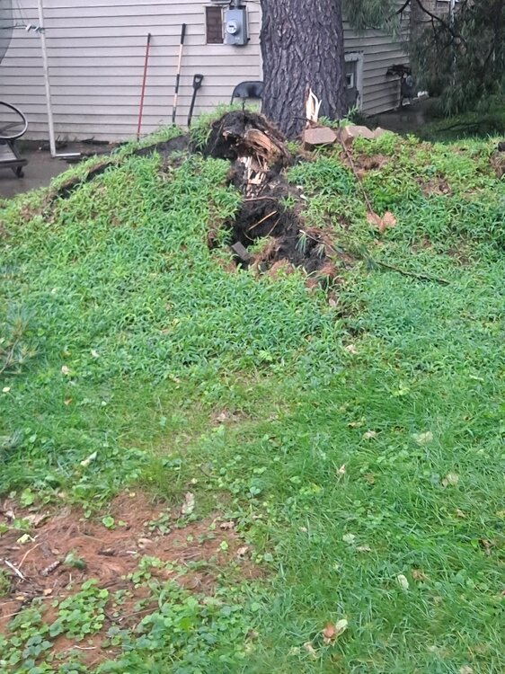
Storm hit hard here in NWI. This tree fell in my backyard in EC. Miracle though. Didn't take out the power line. The line runs through the silver pole. Lots of reports of catastrophic damage in Highland, Griffith and Gary.
-
RDU precip shield holds again. Guess it was just under repair during July
-
Spring/Summer 2026 Pattern Discussion Thread
1234snow replied to Carvers Gap's topic in Tennessee Valley
Those were some crazy storms in Kingsport area. I got back home across state line and not a drop. A huge severe thunderstorm warning area was just issued though for almost all of SWVA. Area of rotation with tornado warning for Pikeville. -

Augdewst 2026: Summer's Last Stand
VivaManchVegas replied to Prismshine Productions's topic in New England
I only put one fertilizer on my lawn and that is the early season scotts for crab grass.. It works. I put it in the front yard, little grab grass, only on the edges of the drive way. Back yard with the well, none and its grab grass everywhere. Edit: my front lawn is 60% grass, 30% clover and 10 percent others (some sort of ivy). I am fine with that. The clover is very hardy. Only down side is it attracts rabbit. -

Spring/Summer 2026 Pattern Discussion Thread
nrgjeff replied to Carvers Gap's topic in Tennessee Valley
I could see that in Denver or Cheyenne in Sept. Meanwhile for Tennessee all I see through next week is teaser fronts on MCS outflow, quickly retreating north to the Ohio River or farther. If the ECMWF is right we get a Tuesday tease next week. Then, back to the blast furnace! -

Augdewst 2026: Summer's Last Stand
dendrite replied to Prismshine Productions's topic in New England
SW CT is just a body of water now…basically the Everglades. Wet begetting wet. -
Parts of the region could see a shower or thundershower this evening and tonight. Above normal temperatures will persist through tomorrow or Thursday. Highs will generally top out in the middle and upper 80s. Cooler air will move into the region to close of the week. As a result, Friday through Sunday could see highs mainly in the upper lower 80s. The ENSO Region 1+2 anomaly was +4.1°C and the Region 3.4 anomaly was +2.6°C for the week centered around August 6. For the past six weeks, the ENSO Region 1+2 anomaly has averaged +3.72°C and the ENSO Region 3.4 anomaly has averaged +2.15°C. The ongoing strong El Niño, which has reached super El Niño threshold, will continue to strengthen through the summer. The SOI was +6.86 today. The preliminary Arctic Oscillation (AO) was -0.346 today. Based on sensitivity analysis applied to the latest guidance, there is an implied near 53% probability that New York City will have a warmer than normal August (1991-2020 normal). August will likely finish with a mean temperature near 76.3° (0.2° above normal). Supplemental Information: The projected mean would be 1.0° above the 1981-2010 normal monthly value.
-
Augdewst 2026: Summer's Last Stand
Damage In Tolland replied to Prismshine Productions's topic in New England
SW CT severe again -
I really damn hope the dew points start crashing once we flip the calendar.
-

Augdewst 2026: Summer's Last Stand
Cyclone-68 replied to Prismshine Productions's topic in New England
I’m going with Tips faux map and I won’t change my mind -
 Trust Pharma India: п»їlegitimate online pharmacies india - Online medicine home delivery
 -
 July has been super wet since 2017. Wettest month of the year imby. 2026 followed the same pattern.
 -
All that rain from yesterday didn't help. Dew point is 81 at 6 pm with a temp of 93.
-

Spring/Summer 2026 Pattern Discussion Thread
KakashiHatake2000 replied to Carvers Gap's topic in Tennessee Valley
Yall enjoy the light show lightning thunder heavy rain etc man I wish we could have that over here I guess we will get the opportunity tomorrow . -

Spring/Summer 2026 Pattern Discussion Thread
Carvers Gap replied to Carvers Gap's topic in Tennessee Valley
Flood warning are posted for multiple counties. That stuff coming south from KY looks like it means business. A tornado warning was posted earlier today over Saltville, VA. -
Spring/Summer 2026 Pattern Discussion Thread
Carvers Gap replied to Carvers Gap's topic in Tennessee Valley
Heavy rain north and west of the I81/26 interchange in NE TN. The storms look like streamers during northwest flow events, but with lots of lightning! -

2026-2027 Record-breaking El Nino
mitchnick replied to Stormchaserchuck1's topic in Weather Forecasting and Discussion
From the mby point of view, the last month has been wet in central PA, with lots of T'Storms. Definitely wetter than the past several years and not Niña'ish. -
They always survive cold. Think about it- some of the worst areas for mosquitoes are well north in Canada after snow melt. Right now our area is dealing with the invasive Asian tiger mosquitoes, which need very little water to continue the cycle. They are tiny and only bite during the day. Once its dark, sit outside and have a cocktail. For me they itch like crazy when they bite, but its very brief, and no welt.
-
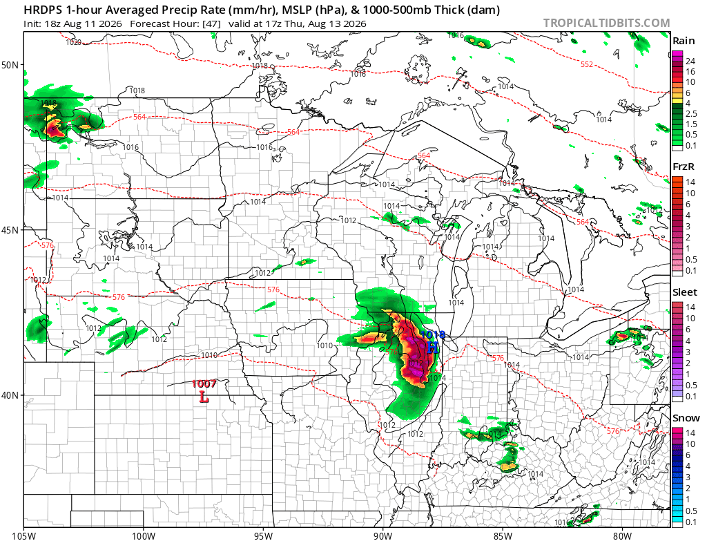
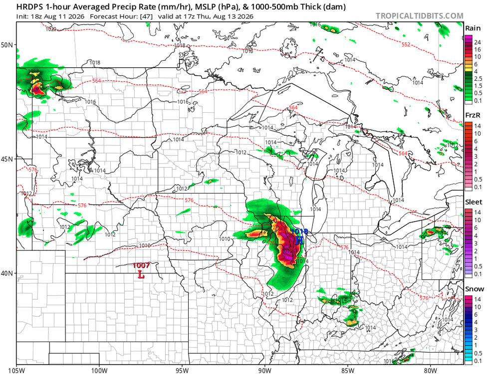
Peep it again for Thursday lmao
- Today
-
I recall that the Dog Days of Summer were referred to as such from ancient astronomers because the appearance of the Dog star Sirius during Summer was erroneously thought to have added heat to the Earth. Never heard the mad dog claims though.
-
Initially looked and sounded like it could be serious.
-

Augdewst 2026: Summer's Last Stand
ineedsnow replied to Prismshine Productions's topic in New England
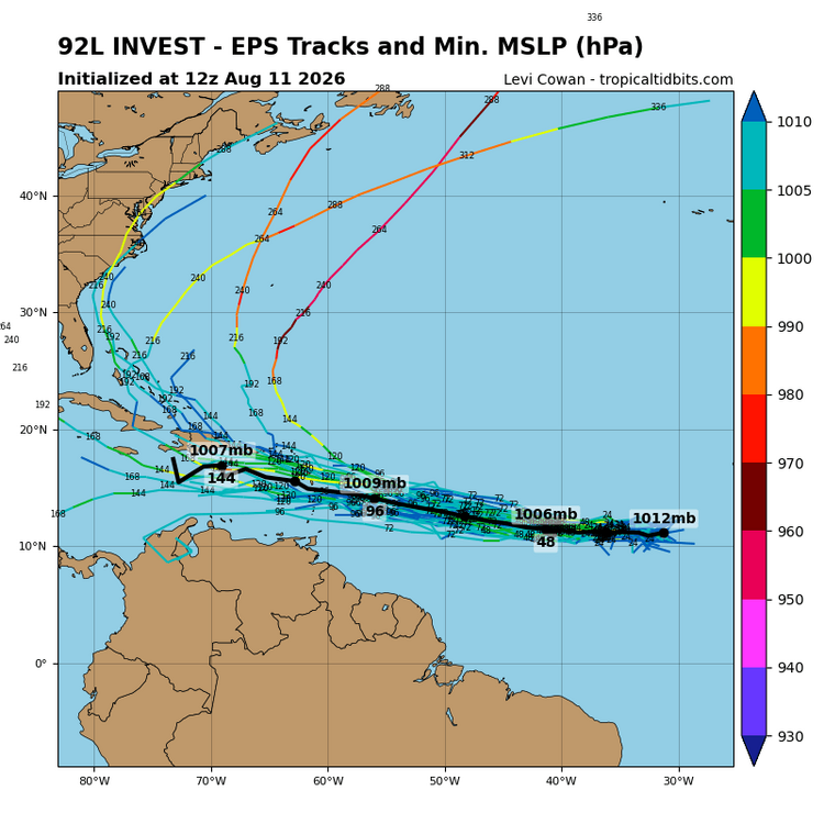
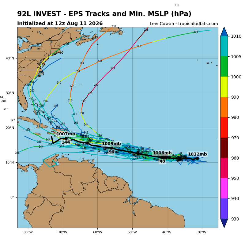
92L is up and likely a recurve but nice to see something atleast