All Activity
- Past hour
-
 What a beaut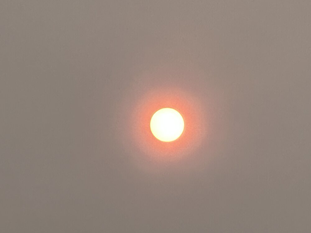
-

2026-2027 Super El Nino
michsnowfreak replied to Stormchaserchuck1's topic in Weather Forecasting and Discussion
Thats all good points. I feel like the excess moisture is a huge thing. The assumption that El Nino always means dry has been failing in recent years, especially with stronger Ninos. -
 Yawn.
Yawn. -

Central PA Summer 2026 Discussion/Obs Thread
Superstorm replied to Voyager's topic in Upstate New York/Pennsylvania
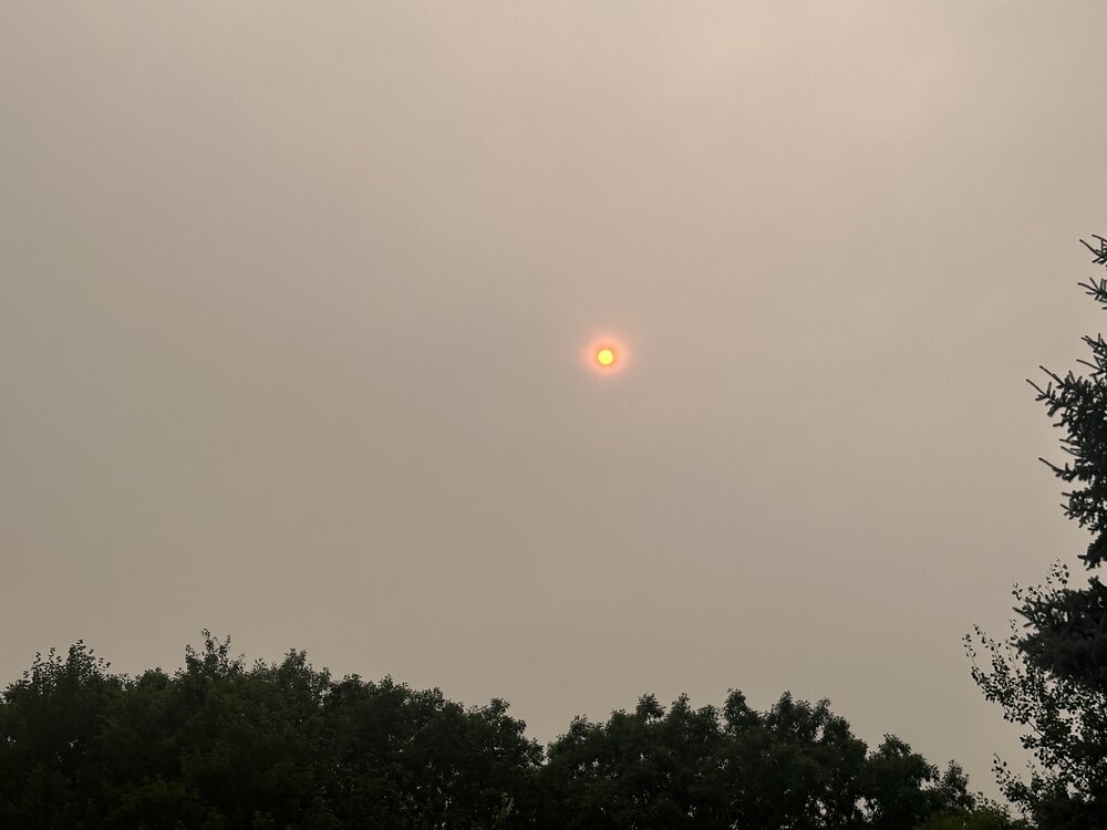
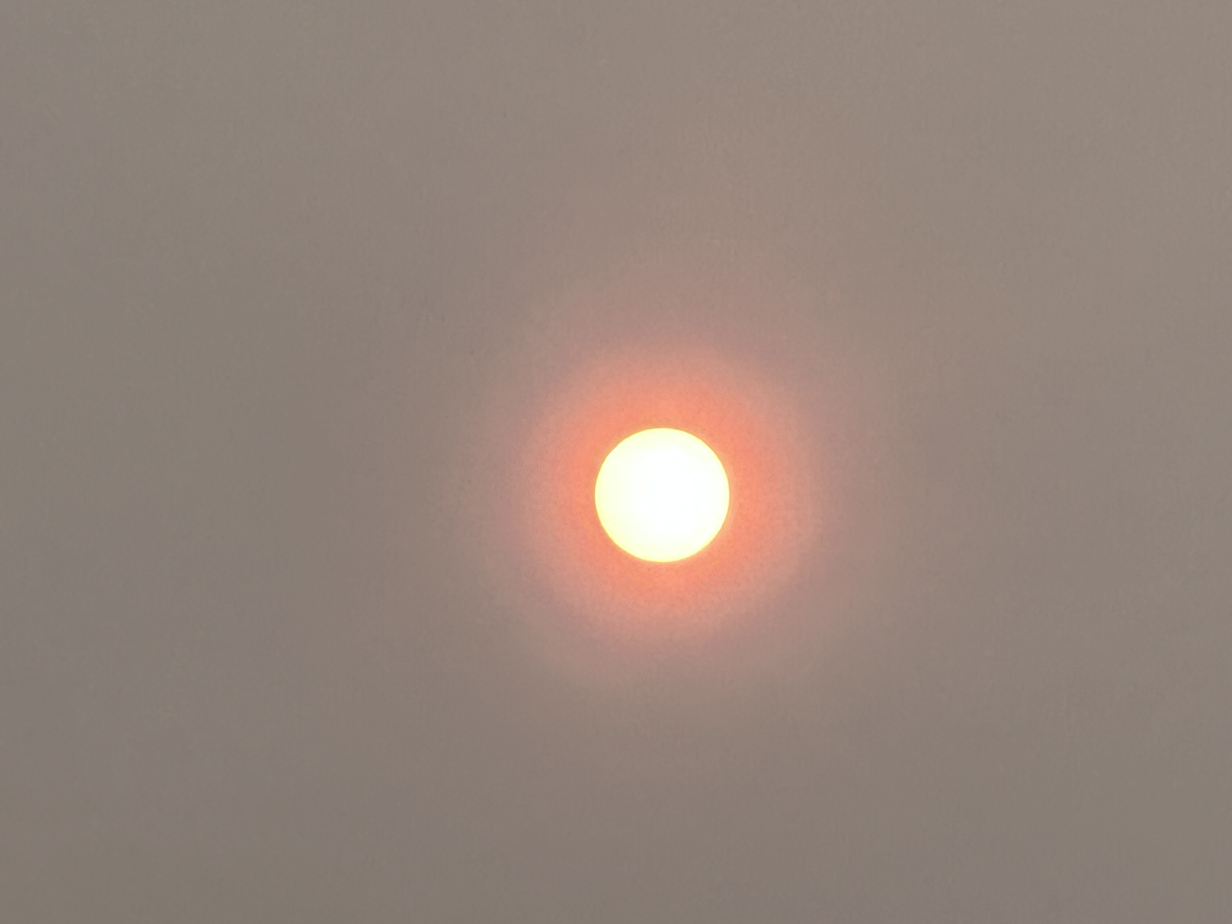
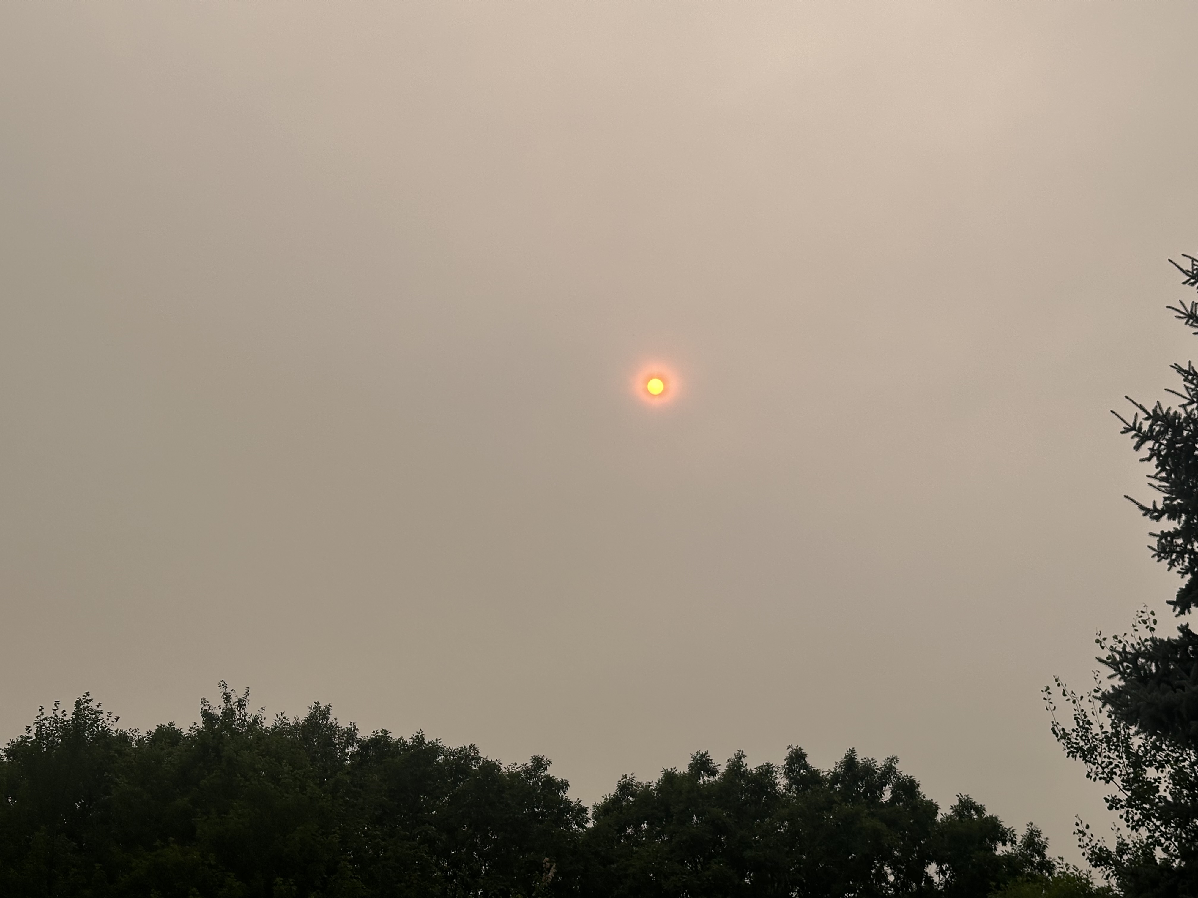
Smoke definitely held back temps today . -

2026-2027 Super El Nino
GaWx replied to Stormchaserchuck1's topic in Weather Forecasting and Discussion
There’s a possibility of exceeding 1018 mb in Darwin on Thursday (7/16), which would be only the 2nd day on record back to 1991 per the SOI daily pressure records. That record high is 1018.35 mb. Even that could be challenged. This is courtesy of a 1040 S Australian polar high. Another strong polar high is progged to do similar next week in this typical El Niño pattern that brings Darwin pressure up. -
Looks like Mexico City out there. 79.7° after a high of 82.9°.
-
 Smoke Stein ? https://x.com/growingwisdom/status/2077106682698645979?s=46&t=dhcbvkjmRcyBVQtDxJ3lRg
 -
 If only we had everything come together here lol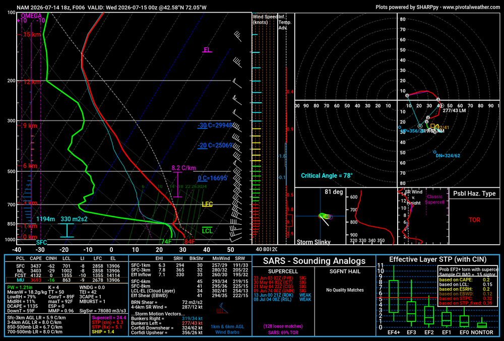
-
Euro says: ask and ye shall receive.
-
Some just popped thunderstorms in my area at 4PM moving slowly W. CTG lightning strike very close!
-
Looks like our area is worse tomorrow as well. Dense smoke plume arrives tomorrow. https://x.com/weather_buffalo/status/2077091092860694878 The latest HRRR shows some absolutely insane smoke on Thursday across WNY. If it comes to fruition it would be much worse than what we experienced a few years ago in 2023.
-
 88/72 Home Davis Had to get a few items for dinner (wife asked)...I saw Halloween Candy in the aisle already! WTF
 -

Central PA Summer 2026 Discussion/Obs Thread
canderson replied to Voyager's topic in Upstate New York/Pennsylvania
The San Antonio areas is getting a years worth of rain in 24 hours. 20”+ -
Rain needed, and plenty of it. Except for that I water, everything is fried. Starting to see crispy leaves otg from tree stress.
-
I can certainly see that too. Maybe a couple of degrees cooler would be possible. Never hit the forecasted high here today. Tomorrow's HRR smoke forecast is even worse, but I have not looked at the latest update.
-
 This is probably going to be the area of focus. Mesoanalysis (using the RAP) erodes SBCIN and MLCAPE in this region over the next 2-4 hours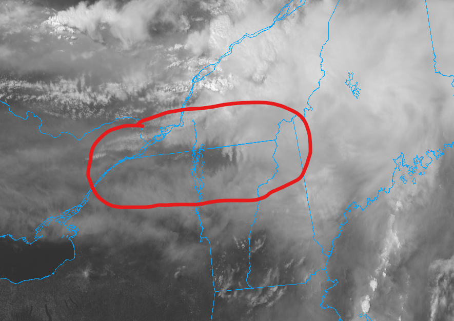
-
 Day 1 Convective Outlook NWS Storm Prediction Center Norman OK 0249 PM CDT Tue Jul 14 2026 Valid 142000Z - 151200Z ...THERE IS AN ENHANCED RISK OF SEVERE THUNDERSTORMS ACROSS PORTIONS OF THE NORTHEAST... ...THERE IS A SLIGHT RISK OF SEVERE THUNDERSTORMS ACROSS CENTRAL MONTANA... ...SUMMARY... Severe thunderstorms capable of producing damaging winds, large hail, and a few tornadoes are expected today across parts of northern New York and New England. Thunderstorms with scattered severe winds and isolated hail will also be possible across portions of Montana. ...20z Update... The previous forecast largely remains on track with only minor adjustments required. Convection across southeast Quebec has struggled to maintained intensity as it approaches the U.S. border through mid-afternoon with abundant cirrus, smoke, and cloud debris overspreading central to northern ME. Recent surface observations show temperatures remaining in the mid/upper 70s, which is supporting very limited MLCAPE per the 18 UTC CAR RAOB. This casts considerable uncertainty on the degree of destabilization that will occur through the early evening hours. Latest CAM guidance appears to be capturing this trend and depicts low probabilities for intense UH and/or strong wind swaths across northern ME. 30%/Enhanced contours were trimmed southward to account for this decreased confidence. Further southwest, warmer temperatures in the 80s are supporting a more volatile atmosphere with MLCAPE values estimated to be around 2000 J/kg. Strong shear remains across the region per VWP observations, and CAM guidance continues to depict some potential for intense convection traversing northern NY, VT, NH and western ME later this evening as the primary surface trough migrates east. Risk probabilities have been shifted southwest to better align with the better thermodynamic environment and convective signal. However, the recent convective trends upstream and modulating influence of wildfire smoke on boundary-layer mixing/CIN reduction casts uncertainty on how widespread the severe threat may be.
 -
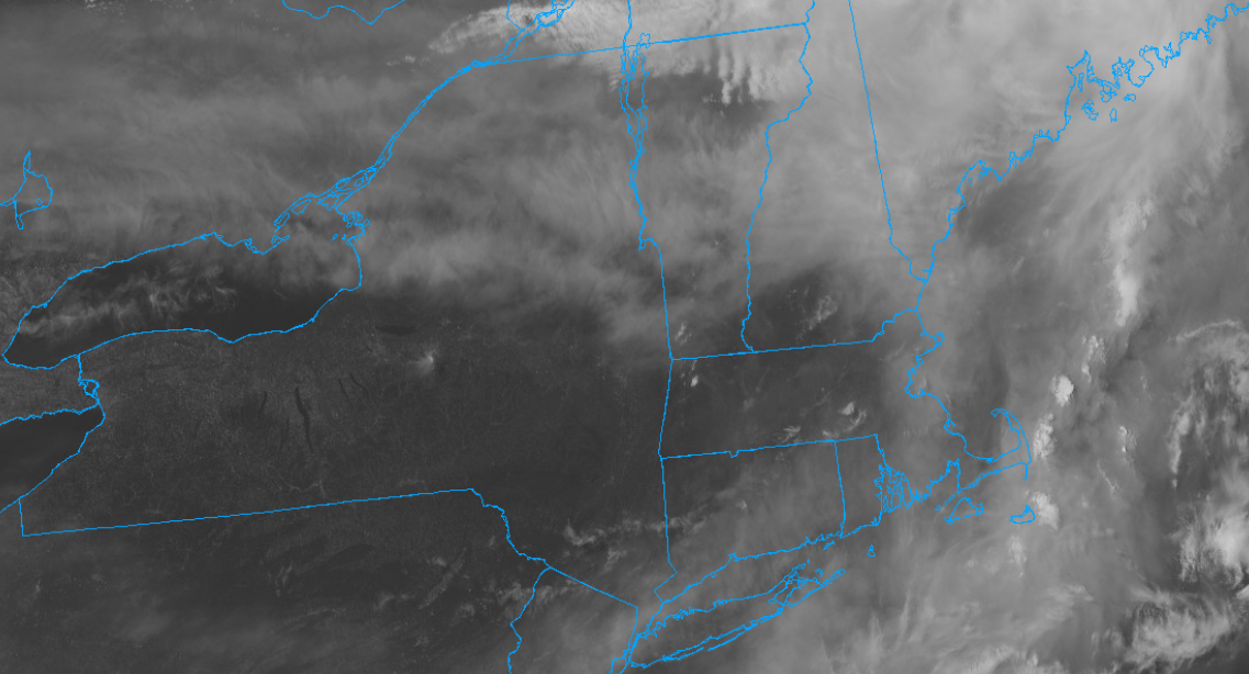
91 here smoke clearing out northeast to southwst (for now) this batch.
-
 It’s far from chase country but I can’t believe I’m not up there today.
 -
covid
-
Sounds like the 2000 SPC OTLK is saying the smoke is an issue
-
lake michigan shore temps in chicago already at 75, inanely nice swim conditions
-
Mt Pleasant at 100, Oscoda County at 104, models definitely had a good handle on the placement of the hottest temps being northeast central MI
-
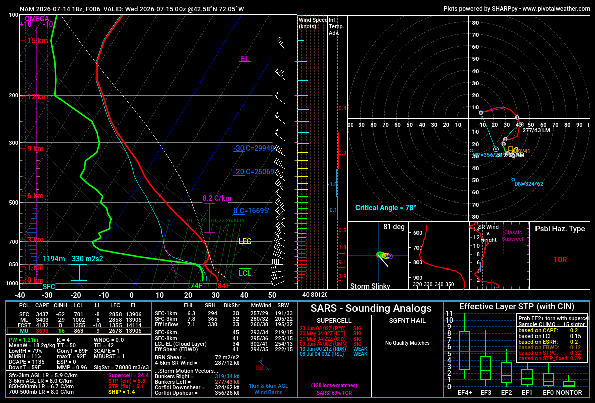
18z NAM gone wild in upstate NY. That hodographs is nuts. About as perfect of winds turning with height as you'll see lol...maybe would want just a tad more southerly component to sfc wind. But over 4000 J of MLCAPE in this kinematic environment
-
 Meh another banded/plume's settling thru the area in a couple hours as this image's looping is SSE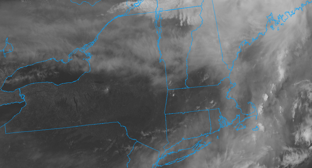








.thumb.jpg.ad3a2e31d30aff035044689b311a0540.jpg)