All Activity
- Past hour
-
I think there's been a lot of "bad luck" the last few winters. Relative to what you'd expect with the overall pattern: 2017-18: underperformed (Dec and Jan produced very little for most of the forum) 2018-19: near expected 2020-21: MAJOR underperformance for most of the forum. 2021-22: near expected 2023-24: near expected 2024-25: slightly underperformed 2025-26: underperformed 2016-17, 19-20, and 22-23 were all awful seasonal patterns but you could argue they underperformed because they could have been like 4-8 inch seasonal totals, not total shutouts. Like even 2011-12 had a 7 inch fluke storm down here that missed DC. Hopefully we finally get the flukes to break in our favor this winter.
-

2026 Mid-Atlantic Severe Storm General Discussion
SnowenOutThere replied to Kmlwx's topic in Mid Atlantic
I think the main round is initiating. The cells are already 20-30 kft cloud tops so the ML lapse rates aren’t killing their ability to blow up. -
Had a nice view of impressive towers driving home from storms that formed just to the east near the MD-DE border, along the sea breeze boundary moving northwestward.
-

2026 Mid-Atlantic Severe Storm General Discussion
dailylurker replied to Kmlwx's topic in Mid Atlantic
Woooo.. New storms blowing up west of DC. -

2026 Mid-Atlantic Severe Storm General Discussion
AlexD1990 replied to Kmlwx's topic in Mid Atlantic
same storm that prompted the earlier warning. storm has maintained rotation throughout the afternoon- 2,101 replies
-
- 1
-

-
- severe
- thunderstorms
- (and 7 more)
-
Madison to Culpepper storms going up
- 2,101 replies
-
- 1
-

-
- severe
- thunderstorms
- (and 7 more)
-
Dover DE Tornado warning
-
Rip subway system if we get 6”
-
3K NAM is bad for the city up to 6 inches
-
Is Mount Holly's website down ? https://www.weather.gov/phi/ I really hope not, but I can't get it to load.
-

Augdewst 2026: Summer's Last Stand
vortex95 replied to Prismshine Productions's topic in New England
Got this in College Park MD a short time ago. @CoastalWx can't get anything remotely close to this in Weymouth this year!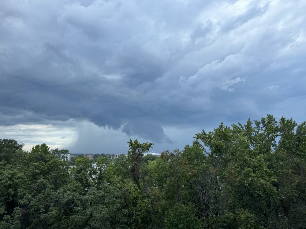
-
Radar lighting up
-
Really slow
-
Yeah it’s a car wash out there. Deluge. But not much else outside some thunder
- 2,101 replies
-
- 2
-
-
- severe
- thunderstorms
- (and 7 more)
-
Looks like @WxUSAF got a nice quick hit
-

Augdewst 2026: Summer's Last Stand
ineedsnow replied to Prismshine Productions's topic in New England
Semi interesting EPS run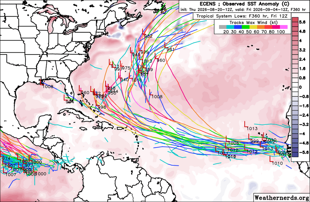
-
2026 Mid-Atlantic Severe Storm General Discussion
dailylurker replied to Kmlwx's topic in Mid Atlantic
Yeah. Looking at radar and satellite gives me hope. That outflow boundary near DC might be the focal point of new storms that effect PG and AA countries. I need some action. I'd love one training event. -
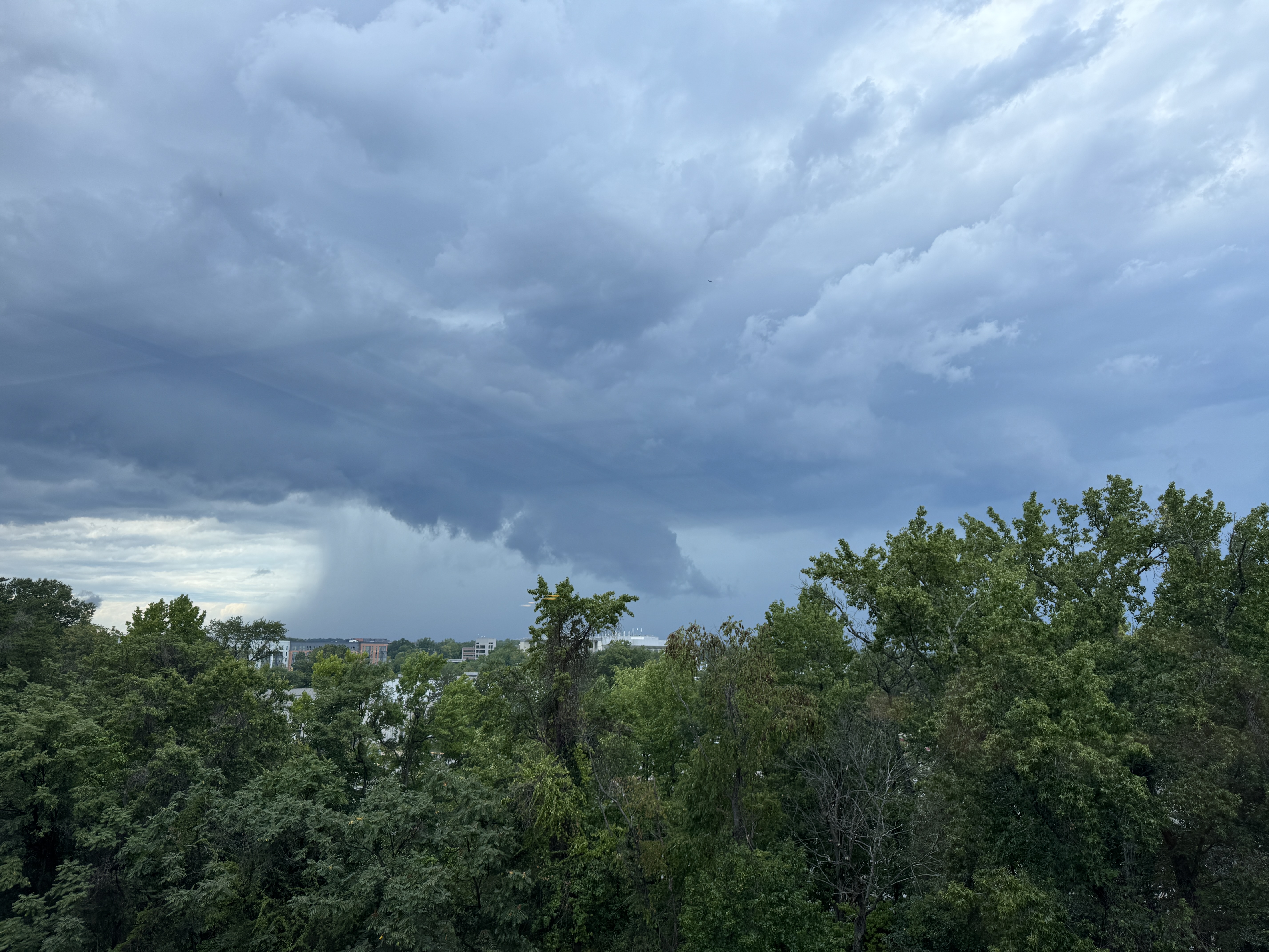
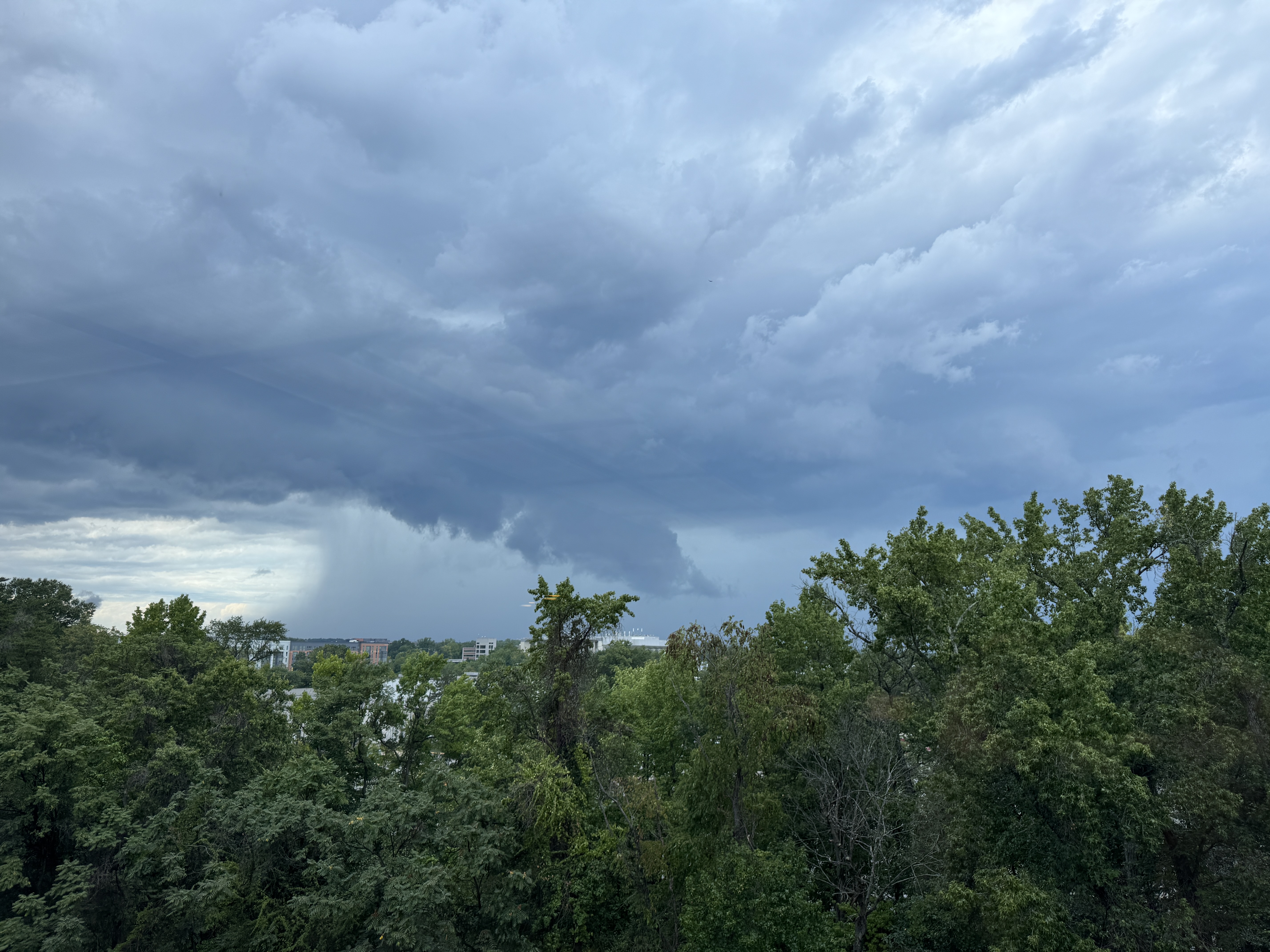
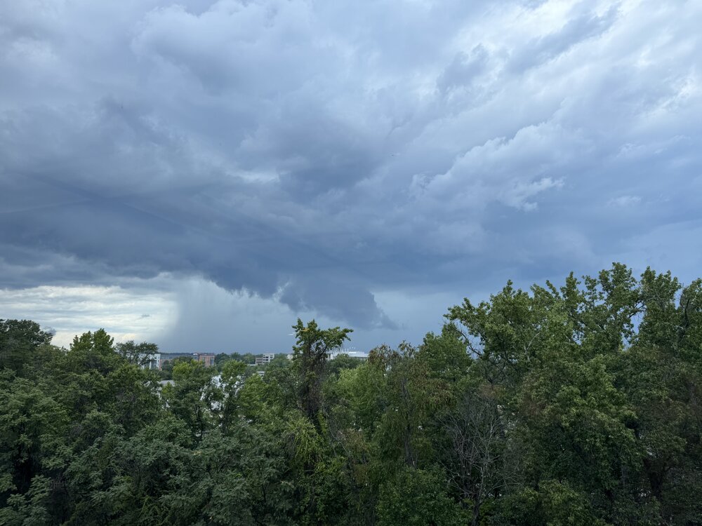
Darn those mid level winds! Does not push the precip downwind enough! However, legit supercell passed just N of College Park w/ a ragged wall cloud (pix through the window ).
- 2,101 replies
-
- 4
-
-
- severe
- thunderstorms
- (and 7 more)
-
Looks like when you specifically look for a forecast for a location.
-

Augdewst 2026: Summer's Last Stand
weatherwiz replied to Prismshine Productions's topic in New England
I'd be curious if something similar has happened before...I would think it has (just not very common). This would be a good question for @OceanStWx I actually kind of like this and this falls in line with the new modifications to the SPC outlooks. As we become more knowledgeable in the area of severe weather and with advancements in technology and modelling I think it's a great idea to be able to try and narrow down areas of "greatest" potential within an overall larger area. I agree it can be confusing to emergency management and the public but this is where educating and communicating to emergency management and the public becomes critical. -
Looks like it
-
It may well be still.
- 2,101 replies
-
- 1
-
-
- severe
- thunderstorms
- (and 7 more)
-
NWS.gov down? Past the main page?
-
2026 Mid-Atlantic Severe Storm General Discussion
dailylurker replied to Kmlwx's topic in Mid Atlantic
That's Glen Burnies next tornado. I should just drive up there lol -

E PA/NJ/DE Summer 2026 Obs/Discussion
Kevin Reilly replied to PhiEaglesfan712's topic in Philadelphia Region
Severe thunderstorm watch moved to a tornado watch SE Pa points South and southeast