All Activity
- Past hour
-
Looks like a good 3” there
-
1.5”. Winding down
-

12/14: Sunday funday? Will the south win again?
Stormchaserchuck1 replied to TSSN+'s topic in Mid Atlantic
A winter wonderland.. I measured 6"+ in the grass Here's my 6" ruler -

12/14: Sunday funday? Will the south win again?
MN Transplant replied to TSSN+'s topic in Mid Atlantic
1.3” on 0.25” precip. Putrid ratios -
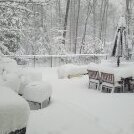
Eyeballing 3-4 inches on the deck here in Owings Mills
-
3” with light snow falling.
-

12/14: Sunday funday? Will the south win again?
North Balti Zen replied to TSSN+'s topic in Mid Atlantic
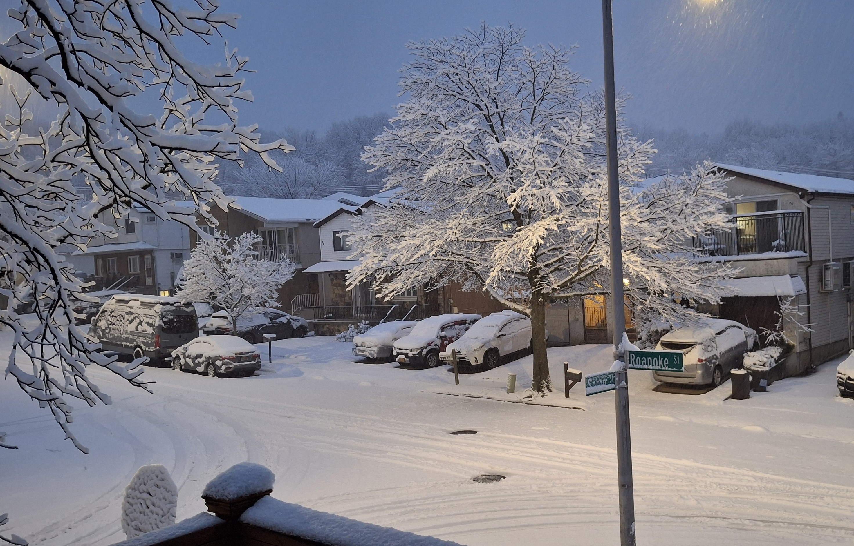
@Interstate how did it do our way? Probably gonna use you for measurement for me up the road - just looked out the window where I am in south Orange, NJ and it is coming down hard up here - it’s a few degrees colder than back home and that clearly helped up this way. -
5 inches otg ao 630AM. still snowing. Oak Ridge NJ. elevation 880 ft.
-
I see a near 5" LSR near Damascus
-

December 14th - Snow showers or Plowable snow?
The 4 Seasons replied to Sey-Mour Snow's topic in New England
how much in branford so far? -
Ok. We heard you. It doesnt need to be repeated ad nauseam. Its weird and shows your true intentions have little to do with sharing the joys of discussing weather with like minded individuals from all walks of life.
-

December 14th - Snow showers or Plowable snow?
WeatherX replied to Sey-Mour Snow's topic in New England
3” Norwalk . -
2” exact
-

Saturday night/Sunday 12/13-12/14 Jawn
snowwors2 replied to Ralph Wiggum's topic in Philadelphia Region
Nice… Same here in Pipersville ~7”‼️ -

December 14th - Snow showers or Plowable snow?
Sey-Mour Snow replied to Sey-Mour Snow's topic in New England
1.8” at 7am , any CT reports? Looks like NE Jersey is doing very well reports of 3-5.4” already! -
We lucked out once otherwise my point stands. We go back to Great lakes tracks after this and for the rest of the month.
-
 Woke up to see we are halfway to meeting snow totals from New Orleans last year. .
 -
-
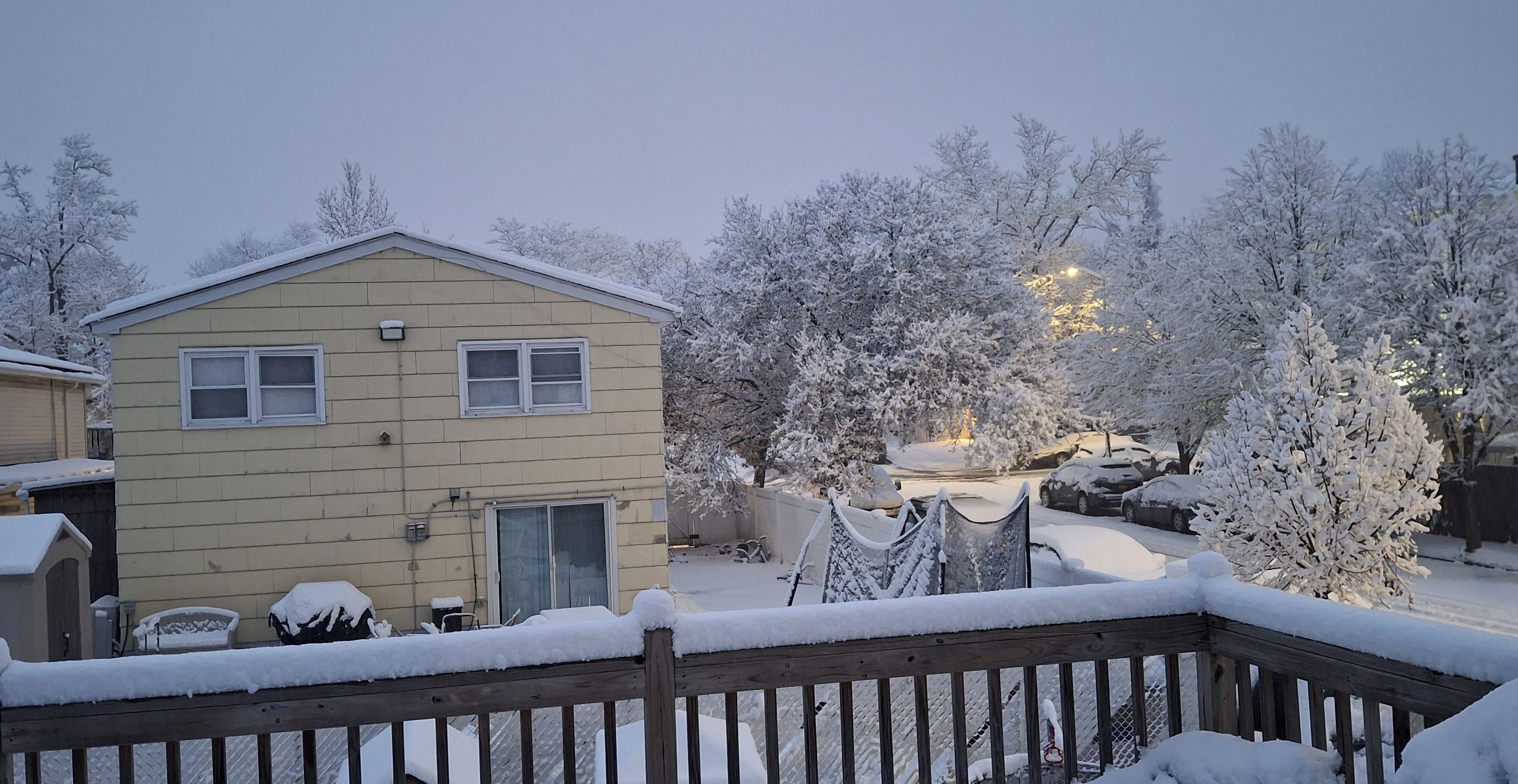
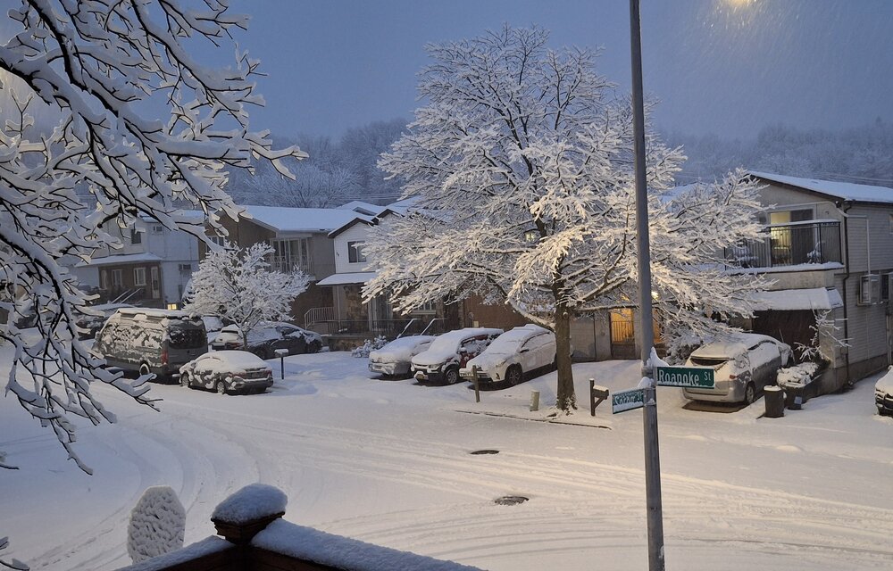
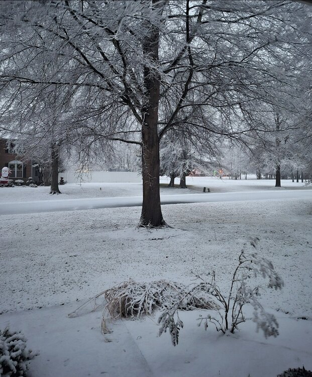
Mostly done here. Very light snow falling now. Trees look stunning! The wind has really picked up.
-

December 14th - Snow showers or Plowable snow?
BrianW replied to Sey-Mour Snow's topic in New England
Nice band setting up HVN east along the shoreline and up 395. Radar shows a couple of bands of relatively heavier snow. One has remained centered offshore, but appears that it could shift into at least eastern Long Island, and possibly get into Nassau County and NYC as well before all is said and done. Another somewhat weaker band is heading into NE NJ and probably impact parts of the Lower Hudson Vally into SW CT - could clip NYC as well. Subsidence noted in between the 2 bands, and hi-res CAMs favor the offshore band being maintained, owing to its proximity to stronger frontogenetic forcing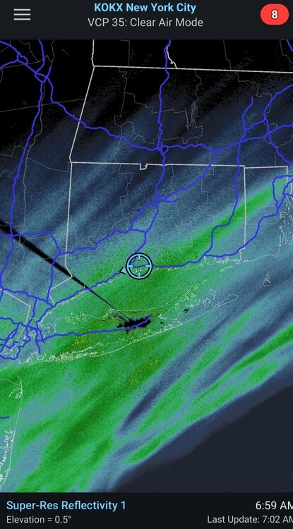
-

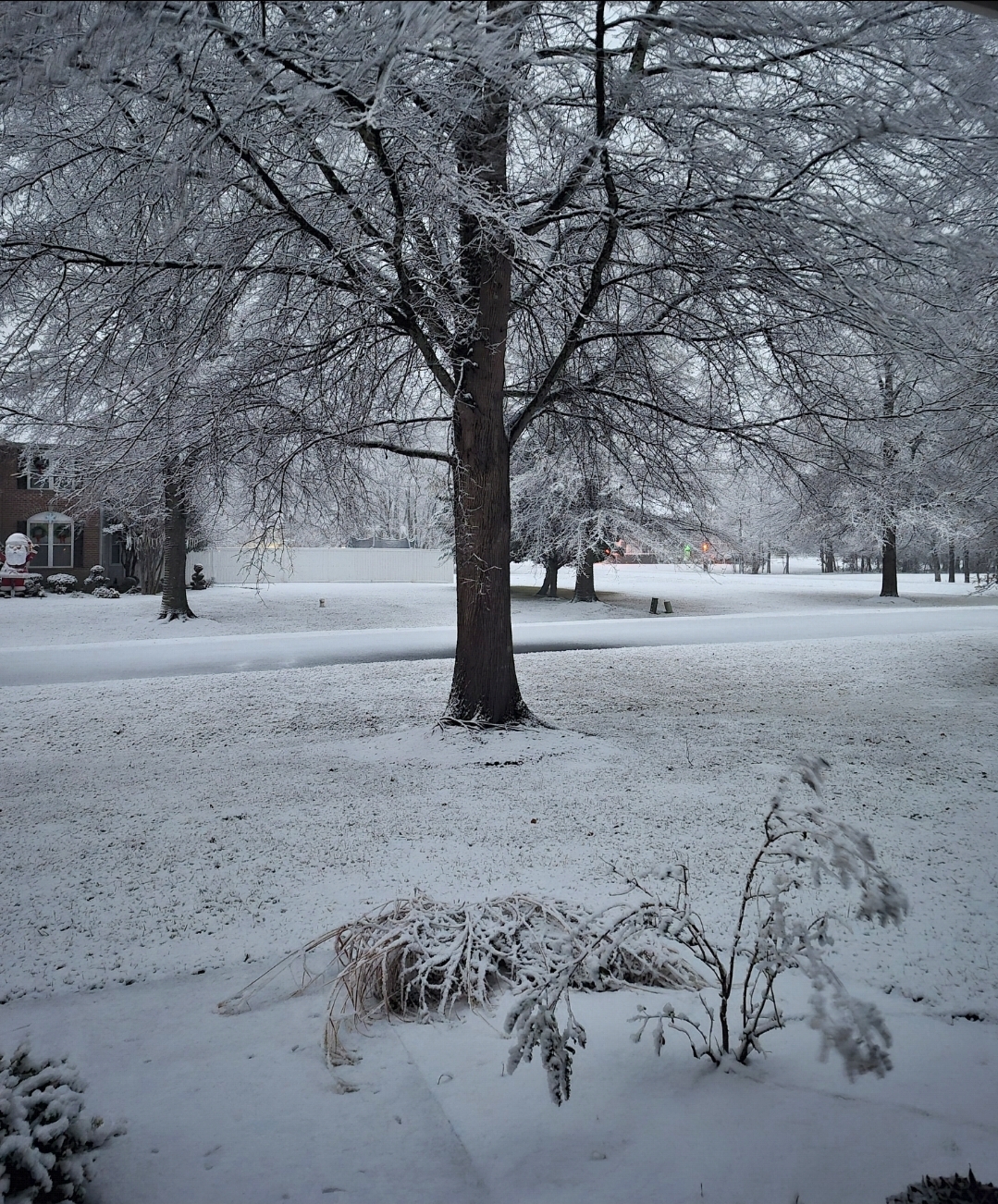
Central PA Winter 25/26 Discussion and Obs
Voyager replied to MAG5035's topic in Upstate New York/Pennsylvania
So it appears that I finished up with 5.5" with my unofficial sidewalk measurement. Definitely an overachiever here. I captured WGAL's forecast map from yesterday, and they had me at C-1 and CTP had me at 1-2. As for quitting drinking, the thing I appreciate the most is not waking up with a hangover headache the next morning. -

Saturday night/Sunday 12/13-12/14 Jawn
The Iceman replied to Ralph Wiggum's topic in Philadelphia Region
5” Levittown at 7 am. We may make a run at 6”. Been moderate heavy snow since at least 3 am. -

-
Stop. You already claimed the month over. Come back in january.
-

Southern MD / Lower Eastern Shore weather discussion
SnowtoRain replied to PrinceFrederickWx's topic in Mid Atlantic
Wind is also starting to pick up some, colder air must be filtering in some