All Activity
- Past hour
-
If it’s the same image then yeah, I’d just refer back to the same one.
-
Just remember the long range models this time of year often show nice looking patterns to start December and try to continue them for the entire month. We saw this last year with the strong -EPO forecast from late November into December which reversed in mid to late December. The models completely underestimated the Pacific Jet and flip to +EPO later in December. The EPS weeklies in early December looked great for the whole month. But they kept underestimating the strength of the Pacific Jet. I was discussing this in the threads last December. This could be the case this year if the MJO slows in phase 6-7 later in November into early December and loops back into the circle before emerging into 4-6 by mid or late December. Just something to watch since we have had warm ups every December since 2011 from 16th to the 25th like clockwork. These periods had convection near the MJO 4-6 phases which weren’t very well forecast in advance. Plus even if the MJO wasn’t too amplified in phases 4-6 it would still shift the pattern even if the month started favorably. There could be a new seasonality to this since the 2nd half of December has been warming at faster rate than early December. I have been discussing this since 2011. Even HM made a post about this for his area last December on one of the platforms.
-
Only .06 inch of rain so far but wind gusting to 37mph
- 90 replies
-
- heavy rain
- damaging wind? squalls?
-
(and 2 more)
Tagged with:
-
Like a blizzard of leafs driving on 87 a bit ago. Roads are hazardous with all the leafs on the ground.
- 90 replies
-
- heavy rain
- damaging wind? squalls?
-
(and 2 more)
Tagged with:
-
(002).thumb.png.6e3d9d46bca5fe41aab7a74871dd8af8.png)
Central PA Fall Discussions and Obs
ChescoWx replied to ChescoWx's topic in Upstate New York/Pennsylvania
Up to 1.46" of rain here in East Nantmeal / 1.44" at Atglen / Nottingham 1.51" / Warwick 1.62" / Chester Springs 1.32" / Kennett Square 1.59" / Avondale 1.58" / West Chester 1.78" - our most rain since July 31st when 2.35" fell at East Nantmeal. -
(002).thumb.png.6e3d9d46bca5fe41aab7a74871dd8af8.png)
E PA/NJ/DE Autumn 2025 Obs/Discussion
ChescoWx replied to PhiEaglesfan712's topic in Philadelphia Region
Up to 1.46" of rain here in East Nantmeal / 1.44" at Atglen / Nottingham 1.51" / Warwick 1.62" / Chester Springs 1.32" / Kennett Square 1.59" / Avondale 1.58" / West Chester 1.78" - our most rain since July 31st when 2.35" fell at East Nantmeal. -
Heaviest rain of the day out this way.
- 90 replies
-
- 1
-

-
- heavy rain
- damaging wind? squalls?
-
(and 2 more)
Tagged with:
-
saw Staten Island NYS mesonet 0.90. At least one major NYC TV station is behind the reality
- 90 replies
-
- heavy rain
- damaging wind? squalls?
-
(and 2 more)
Tagged with:
-

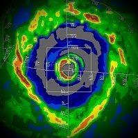
Major Hurricane Melissa - 892mb - 185mph Jamaica landfall
Windspeed replied to GaWx's topic in Tropical Headquarters
It's probably the beginnings of being overtaken by the right front quadrant of the eyewall. Josh even stated it was before peak, and they were forced to bolt the doors, as it got much worse. I'd guess what you're seeing there is somewhere between 70 to 80 kts sustained with perhaps a much higher gust towards the end. -

Central PA Fall Discussions and Obs
mahantango#1 replied to ChescoWx's topic in Upstate New York/Pennsylvania
National Weather Service State College PA 1246 PM EDT Thu Oct 30 2025 PAZ004>006-010>012-017>019-024>028-033>037-041-042-045-046-049>053- 056>059-063>066-311715- /O.NEW.KCTP.WI.Y.0010.251031T1200Z-251101T0400Z/ Warren-McKean-Potter-Elk-Cameron-Northern Clinton-Clearfield- Northern Centre-Southern Centre-Cambria-Blair-Huntingdon-Mifflin- Juniata-Somerset-Bedford-Fulton-Franklin-Tioga-Northern Lycoming- Sullivan-Southern Clinton-Southern Lycoming-Union-Snyder-Montour- Northumberland-Columbia-Perry-Dauphin-Schuylkill-Lebanon- Cumberland-Adams-York-Lancaster- Including the cities of Philipsburg, Bradford, State College, DuBois, Renovo, Hershey, Danville, Wellsboro, St. Marys, Laporte, Trout Run, York, Lancaster, Huntingdon, Williamsport, Lewistown, Coudersport, Sunbury, Bloomsburg, Shamokin, Berwick, Lebanon, Altoona, Mifflintown, Carlisle, Gettysburg, Mansfield, Lock Haven, Chambersburg, Lewisburg, Newport, Ridgway, Warren, Selinsgrove, Harrisburg, Pottsville, McConnellsburg, Mount Union, Emporium, Clearfield, Bedford, Johnstown, and Somerset 1246 PM EDT Thu Oct 30 2025 ...WIND ADVISORY IN EFFECT FROM 8 AM FRIDAY TO MIDNIGHT EDT FRIDAY NIGHT... * WHAT...West winds averaging 15 to 25 mph with occasional gusts up to 50 mph expected. * WHERE...A portion of central Pennsylvania. * WHEN...From 8 AM Friday to midnight EDT Friday Night. * IMPACTS...Gusty winds will blow around unsecured objects. Tree limbs could be blown down and a few power outages may result. PRECAUTIONARY/PREPAREDNESS ACTIONS... Use extra caution when driving, especially if operating a high profile vehicle. Secure outdoor objects. For high wind safety and preparedness information, visit weather.gov/wind. && $$ For more information from the National Weather Service visit weather.gov/StateCollege -
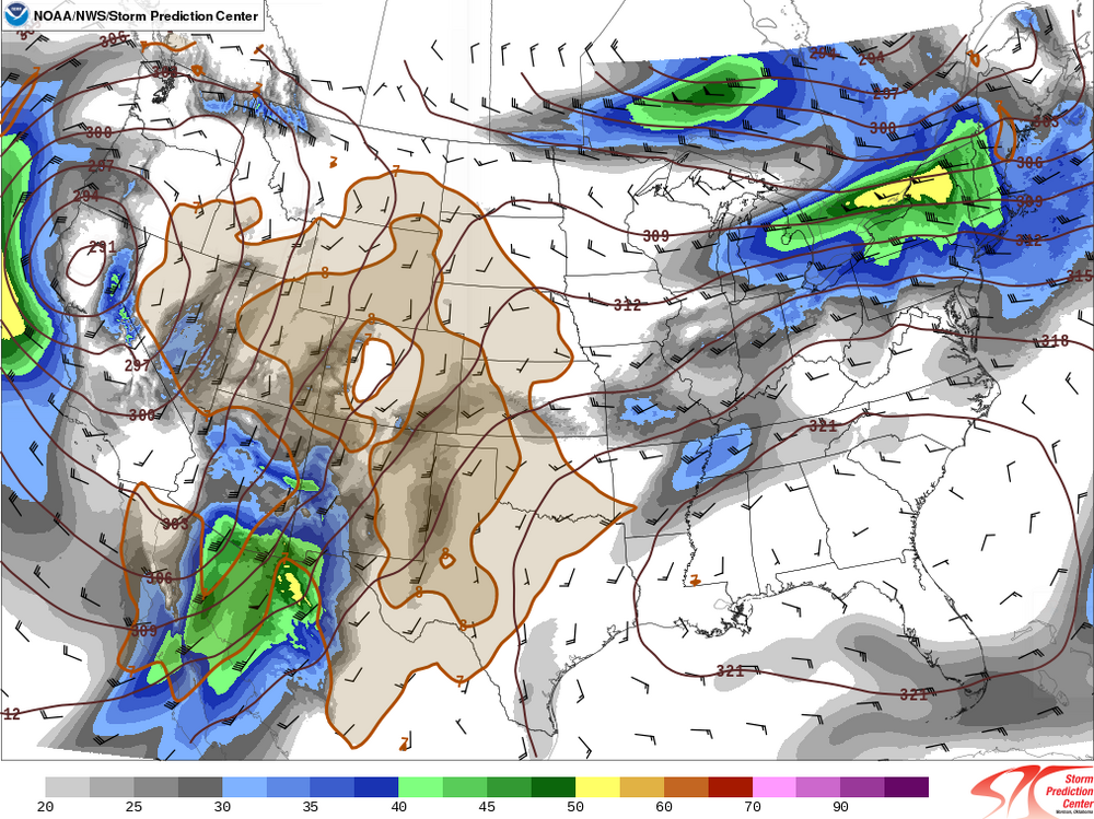
Odd question but I've been doing a lot of reading around o this but I can't seem to garner the appropriate solution. In a nutshell, I am writing a paper about a severe weather event and in this event there was a multi-region outbreak (from two separate systems). I've crafted several drafts of the paper because I'm trying to find the best method of doing the layout. This paper is an analysis (case study) so it will have 300mb charts, 500mb, 700, 850, etc. Anyways, I feel the best course of measure is to break the paper into two main sections, with one focusing on each region. Anyways with that, I would be referencing alot of the same maps twice. For example, Let's say that is labeled Figure 5 in my paper Where I am stuck is this: 1. When talking about this for the first region its labeled as Figure 5 2. When I reference this chart again in the second section, is in best to label it as another figure number, or is it fine to reference back to figure 5. I am going nuts on this. Note: All images will be at the end of the paper.
-
Winds are impressive out here. Nor’easter or not, the winds are howling.
-
Not having fun delivering the mail today. Wind is insane. Over .8 inches in the rain gauge so far with a lot more to come
- 90 replies
-
- 3
-

-

-
- heavy rain
- damaging wind? squalls?
-
(and 2 more)
Tagged with:
-
NWS PHI recently upgraded the advisory to a Coastal Flood Warning for Ocean County-moderate flooding.
- 90 replies
-
- heavy rain
- damaging wind? squalls?
-
(and 2 more)
Tagged with:
-

Major Hurricane Melissa - 892mb - 185mph Jamaica landfall
WEATHER53 replied to GaWx's topic in Tropical Headquarters
Can anyone guesstimate what the sustained winds and gusts are in this video ? -
Peak gust of 52 mph so far. Beaches taking another pounding
- 90 replies
-
- 1
-

-
- heavy rain
- damaging wind? squalls?
-
(and 2 more)
Tagged with:
-
KFRG: Farmingdale, Republic Airport, NY, United States [44kt, 23m/s] KJFK: JFK Intl Arpt, NY, United States [46kt, 24m/s] KNEL: Lakehurst, NJ, 44 kt
- 90 replies
-
- heavy rain
- damaging wind? squalls?
-
(and 2 more)
Tagged with:
-
1,000%
-
Apparent storm damage on TV in the Bronx. 1200 meters out on Staten Island. now is the time for 45 MPH+ wind gusts n our area...next 5 hours; except later e Li.
- 90 replies
-
- 1
-

-
- heavy rain
- damaging wind? squalls?
-
(and 2 more)
Tagged with:
-
.17 with the occasional gust around 20. It's finally raining harder and the wind is up. It's a nice afternoon to go for a Jebwalk but the flying branches are sketchy.
- 90 replies
-
- heavy rain
- damaging wind? squalls?
-
(and 2 more)
Tagged with:
-
1.65" total
-
1.7” here. Steadiest sometime heavy rain most since May
-
Spooky Season (October Disco Thread)
Snowcrazed71 replied to Prismshine Productions's topic in New England
Ps..... From what I'm seeing for our area next week, our temperatures look to be in the upper 50s early in the week... Then it looks like mid-50s to lower 50s Wednesday to Friday, and maybe back to around 57 ish next Saturday. Our average high temperature for November 3rd in our area is 53°. So I'm not seeing anything related to a torch at all next week. Maybe you saw something different when you looked but this is what I'm seeing now. -
1.7” here. Steadiest rain heavy often since May
-

Central PA Fall Discussions and Obs
Itstrainingtime replied to ChescoWx's topic in Upstate New York/Pennsylvania
2.41" of rain has fallen here. Solid.


.thumb.jpeg.f5c6ba9d911ec96b3b124f8606aee58e.jpeg)
