All Activity
- Past hour
-

Pittsburgh/Western PA WINTER ‘25/‘26
TheClimateChanger replied to Burghblizz's topic in Upstate New York/Pennsylvania
-

Winter 2025-26 Medium/Long Range Discussion
RogueWaves replied to michsnowfreak's topic in Lakes/Ohio Valley
Clipper on the 6th still has my attention. Then a rainer, and then maybe something better. -

Central PA Winter 25/26 Discussion and Obs
WmsptWx replied to MAG5035's topic in Upstate New York/Pennsylvania
Today is a good day to be a Penn State fan. I have enough air in my lungs to laugh at BOTH. -

New Years Day 2026 - 1st snows of the new year possible
Damage In Tolland replied to Baroclinic Zone's topic in New England
Big fatties falling. Happy New Year all -

E PA/NJ/DE Winter 2025-26 Obs/Discussion
RedSky replied to LVblizzard's topic in Philadelphia Region
Special statement issued for oil city etc for a dangerous snow squall. -

12/31-1/1 Possible Snow Showers/Squalls to Start 2026
Terpeast replied to bncho's topic in Mid Atlantic
Happy birthday! -
that's game for OSU - looks like they are going home.
-

12/31-1/1 Possible Snow Showers/Squalls to Start 2026
dailylurker replied to bncho's topic in Mid Atlantic
I'm about to see 6" per hour rates for the second time today. New Year's Jebwalk should be epic this news years. From the Tug Hill, Happy new year to all my snow loving friends. -

12/31-1/1 Possible Snow Showers/Squalls to Start 2026
nj2va replied to bncho's topic in Mid Atlantic
Thanks! It’s easily 1-2”/hr rates right now, just dumping fatties. Heavy snow and college football - can life get better? Ha. (My partner would say otherwise but he doesn’t have a choice on my BD lol) -
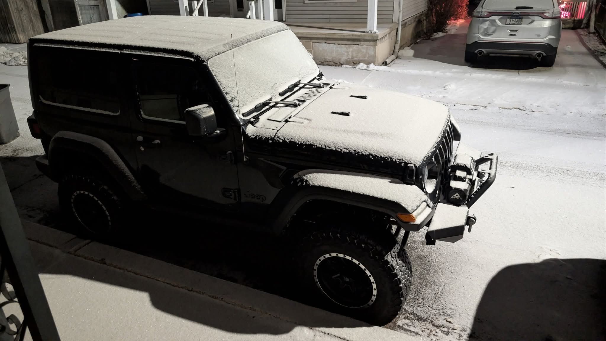
Estimating 2.5" here from last evening. 17.1" for the month is 124% average and my second straight AN December. Ended up being an active/stormy holiday season after all - managed to keep power - zero complaints.
-

12/31-1/1 Possible Snow Showers/Squalls to Start 2026
clskinsfan replied to bncho's topic in Mid Atlantic
Yeah. that looks like its going to hold together. Might be a drunk New Years Jebwalk during that this morning. -

E PA/NJ/DE Winter 2025-26 Obs/Discussion
Kevin Reilly replied to LVblizzard's topic in Philadelphia Region
Still a few left over flakes a rather nice area set to come into Delaware County from the west. snow total so far dusting 32f humidity 52% dew point 16f -

E PA/NJ/DE Winter 2025-26 Obs/Discussion
Ralph Wiggum replied to LVblizzard's topic in Philadelphia Region
This too -
Pittsburgh/Western PA WINTER ‘25/‘26
TheClimateChanger replied to Burghblizz's topic in Upstate New York/Pennsylvania
SNOW SQUALL WARNING NWS PITTSBURGH PA 1035 PM EST WED DEC 31 2025 PAC019-031-073-085-121-010415- /O.CON.KPBZ.SQ.W.0001.000000T0000Z-260101T0415Z/ 1035 PM EST WED DEC 31 2025 Butler County-Clarion County-Lawrence County-Mercer County-Venango County- ...SNOW SQUALL WARNING REMAINS IN EFFECT UNTIL 1115 PM EST FOR SOUTHERN MERCER, SOUTHERN VENANGO, NORTHERN BUTLER, WEST CENTRAL CLARION AND NORTHERN LAWRENCE COUNTIES... At 1035 PM EST, a dangerous snow squall was located along a line from near Oil City to near Farrell, or along a line from near Oil City to near Sharon, moving south at 15 mph. Visbility dropped to one-quarter mile at the airport in Franklin. HAZARD...Intense bursts of heavy snow and gusty winds leading to blowing snow and rapidly falling visibility. Wind gusts up to 35 mph. SOURCE...Doppler radar and airport visibility sensors. IMPACT...Travel will become difficult and potentially dangerous within minutes. Locations impacted include... Hermitage, Sharon, Oil City, Grove City, Franklin, Sharpsville, Knox, Sugarcreek, Farrell, Slippery Rock, New Wilmington, Oakwood, New Castle Northwest, Mercer, Pulaski, Hasson Heights, Stoneboro, Seneca, New Bedford and Harrisville. This includes the following highways... Interstate 80 in Pennsylvania between mile markers 0 and 56. Interstate 79 in Pennsylvania between mile markers 109 and 128. Interstate 376 between mile markers 0 and 12. PRECAUTIONARY/PREPAREDNESS ACTIONS... Slow Down! Rapid changes in visibility and road conditions are expected with this dangerous snow squall. Be alert for sudden whiteout conditions. LAT...LON 4128 8052 4146 7962 4119 7949 4116 7968 4117 7969 4115 7969 4100 8052 4128 8052 SNOW SQUALL...OBSERVED $$ -
E PA/NJ/DE Winter 2025-26 Obs/Discussion
RedSky replied to LVblizzard's topic in Philadelphia Region
We are a vampire snow town -

12/31-1/1 Possible Snow Showers/Squalls to Start 2026
Eskimo Joe replied to bncho's topic in Mid Atlantic
Squall line looks legit on Pittsburgh's radar. -
Enjoy Scott, looks great! Remember it’s only weather….however don’t bring back those weather conditions back this way, Happy New Year!
-
Happy New Year everyone! Visiting parents in Pittston, PA (just SW of Scranton). Very snowy/wintry night. Have picked up about 1.5” on the evening and expecting good Arctic Front squall a little later.
-
E PA/NJ/DE Winter 2025-26 Obs/Discussion
Ralph Wiggum replied to LVblizzard's topic in Philadelphia Region
We are a mother fucking snow town. There is zero denying this -

Central PA Winter 25/26 Discussion and Obs
Voyager replied to MAG5035's topic in Upstate New York/Pennsylvania
Well, I wasn't expecting much until the squall later, but we've got a nice quarter inch coating on everything so far and still pixie dust snowing as I type.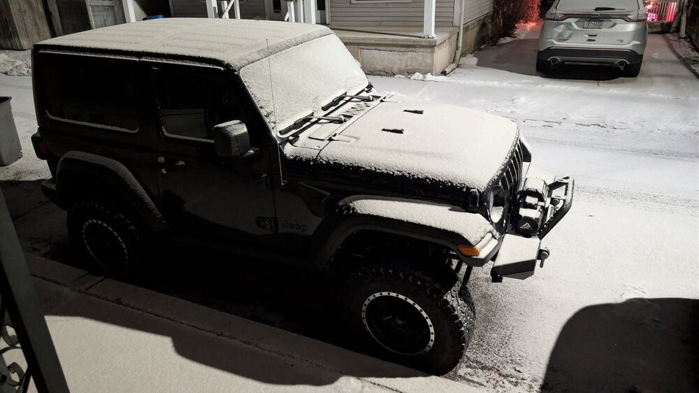
-
E PA/NJ/DE Winter 2025-26 Obs/Discussion
RedSky replied to LVblizzard's topic in Philadelphia Region
Squal line out west looks good -
E PA/NJ/DE Winter 2025-26 Obs/Discussion
RedSky replied to LVblizzard's topic in Philadelphia Region
Errant flakes -
Some models go north some go south. 72ish hours out. Sad
-

Pittsburgh/Western PA WINTER ‘25/‘26
TimB replied to Burghblizz's topic in Upstate New York/Pennsylvania
Squall line is warned now in Mercer/Venango/Butler etc. -
 Hooray! Number 2! I used Apr-May SLP in the North Atlantic, it's a strong indicator.