All Activity
- Past hour
-
 The entire year has been "quiet" so far...a remarkably dull year for weather..
 -

Central PA Fall Discussions and Obs
Voyager replied to ChescoWx's topic in Upstate New York/Pennsylvania
Forget what I said about the Tempest station being a good unit. We had a good heavy rain here today, and every station around me recorded at least a half inch including the USGS gauge. The local readings ranged from .46" to .82" with one a block away from me reading .66" My station recorded only .21" Even the wind seems wonky. I'm learning that my location is just not going to see many gusts over 20 due to the nearby homes and mountains. Not sure how I got that 38 mph reading a couple months ago, but I don't think it actually happened. I think I'm going to go back to a traditional station, hopefully by the end of the year. -

-
Makes more sense, Dec 1981 was a -4.3 for me here.
-
79 currently. Can't believe we will have a high of 40 tomorrow, with a low of 22. Nuts
-

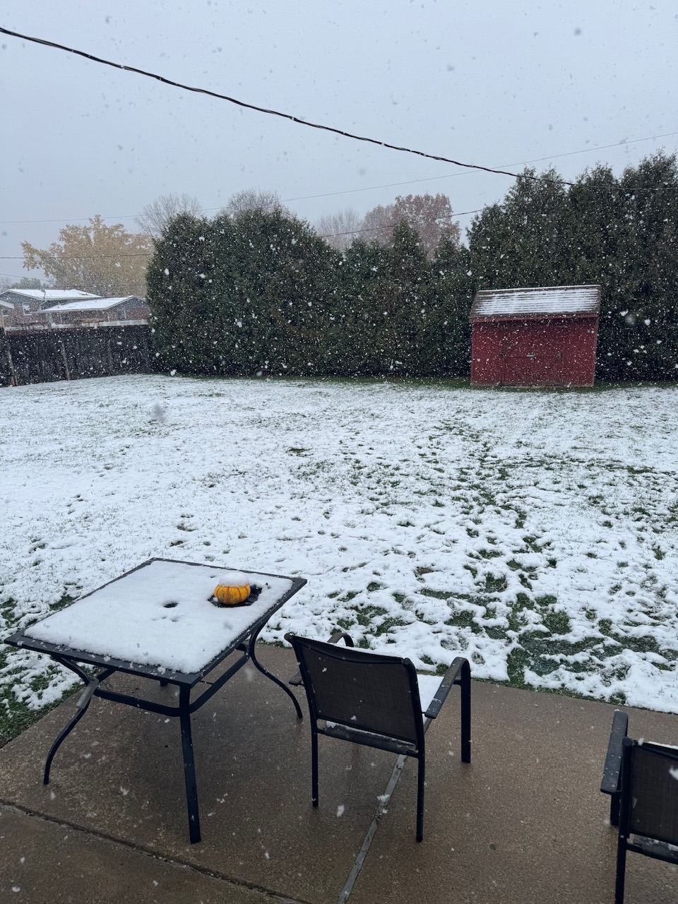
11/8-11/10 First Snow and Lake Effect Event
sbnwx85 replied to Geoboy645's topic in Lakes/Ohio Valley
A little ahead of schedule but we are rocking.
-

November 2025 general discussions and probable topic derailings ...
WinterWolf replied to Typhoon Tip's topic in New England
Not happening James! I like it quiet now…let the action start as we enter a colder time of the month. -

11/8-11/10 First Snow and Lake Effect Event
metallica470 replied to Geoboy645's topic in Lakes/Ohio Valley
Was fun while it lasted now starts the trend back to realistic totals: -
 How is that different than the last five years +? Another winter of it
 -

November 2025 general discussions and probable topic derailings ...
Torch Tiger replied to Typhoon Tip's topic in New England
12z gfs is zzz. Weeks and weeks -

11/8-11/10 First Snow and Lake Effect Event
Chicago Storm replied to Geoboy645's topic in Lakes/Ohio Valley
The NWS Central Region did a few years ago. The move was made to make simplify things and lower the number of headlines types overall. But at the same time, it's kind of of dumb, because this is clearly not a "winter storm". Gain simplicity, lose accuracy. -

11/8-11/10 First Snow and Lake Effect Event
pen_artist replied to Geoboy645's topic in Lakes/Ohio Valley
Same as a few other posters, moved further east to border of Oak Park and Austin this weekend. Liking my odds of getting in on some 6+ snowfall to welcome me into the new space :) -
November 2025 general discussions and probable topic derailings ...
WinterWolf replied to Typhoon Tip's topic in New England
Something will break…, and if not, a good time for it to be quiet…bring the action around or after Thanksgiving. -

2025-2026 Fall/Winter Mountain Thread
Maggie Valley Steve replied to Buckethead's topic in Southeastern States
GSP mentioned 25:1 ratios tomorrow afternoon and night along with convective snow dropping an inch an hour rates! -
If formidable blocking is realized, it should be above average Snowfall. Had 2010-11 or 95-96 not had that ACE Snowfall would have undoubtedly been much less.
-

-

Mid to long range discussion- 2025
WinstonSalemArlington replied to wncsnow's topic in Southeastern States
Drain those outdoor hoses -

11/8-11/10 First Snow and Lake Effect Event
ChiTownSnow replied to Geoboy645's topic in Lakes/Ohio Valley
Did NWS do away with 'lake effect snow warnings'. ? -
I was assuming he meant 81/82 winter.
-
Mostly cloudy (standard), but temps are outstanding.
-
11/8-11/10 First Snow and Lake Effect Event
ChiTownSnow replied to Geoboy645's topic in Lakes/Ohio Valley
I'm in Hinsdale area.. Hoping for same -

November 2025 general discussions and probable topic derailings ...
kdxken replied to Typhoon Tip's topic in New England
Good - Today
-
11/8-11/10 First Snow and Lake Effect Event
Nelson replied to Geoboy645's topic in Lakes/Ohio Valley
Good luck to everyone in the potential path - rooting for a historic event -
Had 8.3 inches of snow on the 12th, then a 2 degree low on the 13th. BUT still ended up a +5.1 for the month of Dec 1982 with the massive warmth (+15 to 20) the first week of the month and the few days after Christmas running +15's.
-
11/8-11/10 First Snow and Lake Effect Event
Nelson replied to Geoboy645's topic in Lakes/Ohio Valley
This is wild As a result, the expectation is for the lake effect snow bands to be unusually intense with peak snow rates of 3 to locally 5 inches per hour, frequent lightning and thunder, and pockets of hail.