All Activity
- Past hour
-
Hit 64 yesterday; today should top that. 68ish in view. It’s been a stair step since Wednesday but definitely an okay weekend for hanging out at least and bbq’n
-
Low of 49 here in the lowlands. It's absolutely beautiful this morning. The temp is already up to 60 in my garden as the morning sun advances across it.
-
59 / 45 off a low of 48. The mainly cloudy from Tuesday PM - Sat PM has ended at around 96 hours - good riddance. "stormy, bring back that sunny day" - Sunny today near 70 / mid 70s for Mon / Memorial Day. Clouds return at some point Tuesday and pending on that could see some warmer places approaching 80. Some rain overnight Tue into Wed Night 0.20 - 0.50. Clears out later in the day Thu, could be some lingering showers in the morning. A brief warmup on Friday upper 70s / low 80s before trough comes down next weekend but it looks mainly dry. Beyond there once to the 5th much warmer (although the GFS would have round 4 or is it five of cut off) with the western heat coming north and east and height rising first chance at the 90 degree mark in the second week of next month.
-
That’s been one saving grace of the rains. It has knocked down a ton of pollen. pine is looming though
-
Low of 48
-
39.0 this morning.
-
The RONI is back down to La Niña:
-
Of course once the oak dongs dangle and drop, the pine pollen starts.
-
That bit of sun with now wind was nice this morning. Too bad it couldn't last...
-
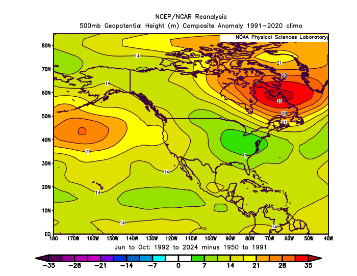
New England has been very lucky since their last Hurricane Bob way back in 1991. This has been related to the 500 mb heights rising faster north and east of New England relative to the Gulf Coast. The last major U.S. hurricane major landfall north of Jacksonville occurred in 1996. This is a new record for the U.S. Coastline relative to the total U.S. major landfalling hurricanes over a 30 year period. It’s part of the reason that there have been so many high impact major landfalling hurricanes in and around the Gulf Coast recently. Even Sandy was driven west into SNJ near ACY and avoided a New England landfall. This is why it was so damaging around the NY Bight. https://www.aoml.noaa.gov/hrd/hurdat/All_U.S._Hurricanes.html
-
46 imby for the 2nd day in a row. KMWN is now at 12.2” of snow since Thursday. That’s impressive even for them given it’s late May.
-

2025-2026 ENSO
PhiEaglesfan712 replied to 40/70 Benchmark's topic in Weather Forecasting and Discussion
It was a strong el nino, so you really can't prevent the warm-ups in between. Although, we did get consistent cold and snowstorms in February. (But the winter ended abruptly, as the snow stopped in Baltimore and DC in mid-February, and north of Baltimore by the beginning of March.) However, 2009-10 is the absolute best case for a strong el nino. It's like the modern day 1957-58 (that one also had warm-ups in between storms). Everyone got a good winter, with the exception of the PNW (the Vancouver Olympics were affected by record warmth and a lack of snow) and maybe the Midwest (ask @michsnowfreak, strong el ninos are never good there). -
Canaan Valley NWR down to 25 this morning.
-
It's only a matter of time before hurricanes will start forming in the subtropics and start threatening the northeast.
-
Was listening to them last night. RIP Mike Peters
-

Central PA Spring 2025
Mount Joy Snowman replied to canderson's topic in Upstate New York/Pennsylvania
Low of 47 and a trace of rain from a late afternoon spritzer. An 8 on tap for today and a 10 for tomorrow. Onward. -
A +7.2° F warming of the Gulf Stream in only 40 years is a big deal and is related to the rise in 500mb heights associated with the Southeast Ridge and Western Atlantic Ridge. But 500 mb heights are on the rise everywhere. So there could also be more remote teleconnections involved spanning all the ocean basins. We have seen the subtropical ridge expansions simultaneously across the entire planet.
-
Low was 41.0 degrees, not near a record (35.0 from 2006 and 2013), but cool. MAYBE today will be the day winds finally decide not to blow into the 20's to near 30 mph from the W/NW lol.
- Today
-
Cuz ACATT
-
Not a soul alive that doesn’t enjoy high dews
-
Yesterday probably sunnier than today . Already clouded over here after clear start
-
not this one?
-
Fiber is your friend
-
More doom and gloom on the horizon. .LONG TERM /WEDNESDAY THROUGH SATURDAY/... -- Changed Discussion -- A similar pattern to what we had this past week will develop again by Wednesday, with another round of cooler and damp weather. Models highlight another phasing/amplifying upper trough developing over eastern Canada and the Great Lakes, and digging southeastward into the Ohio Valley and the Mid Atlantic region for the mid to late week. So, it appears our relatively cool and damp pattern will continue into the end of May, with no signs of true summerlike weather on the horizon through the beginning of meteorological summer on June 1.
-
40 this morning.


