All Activity
- Past hour
-

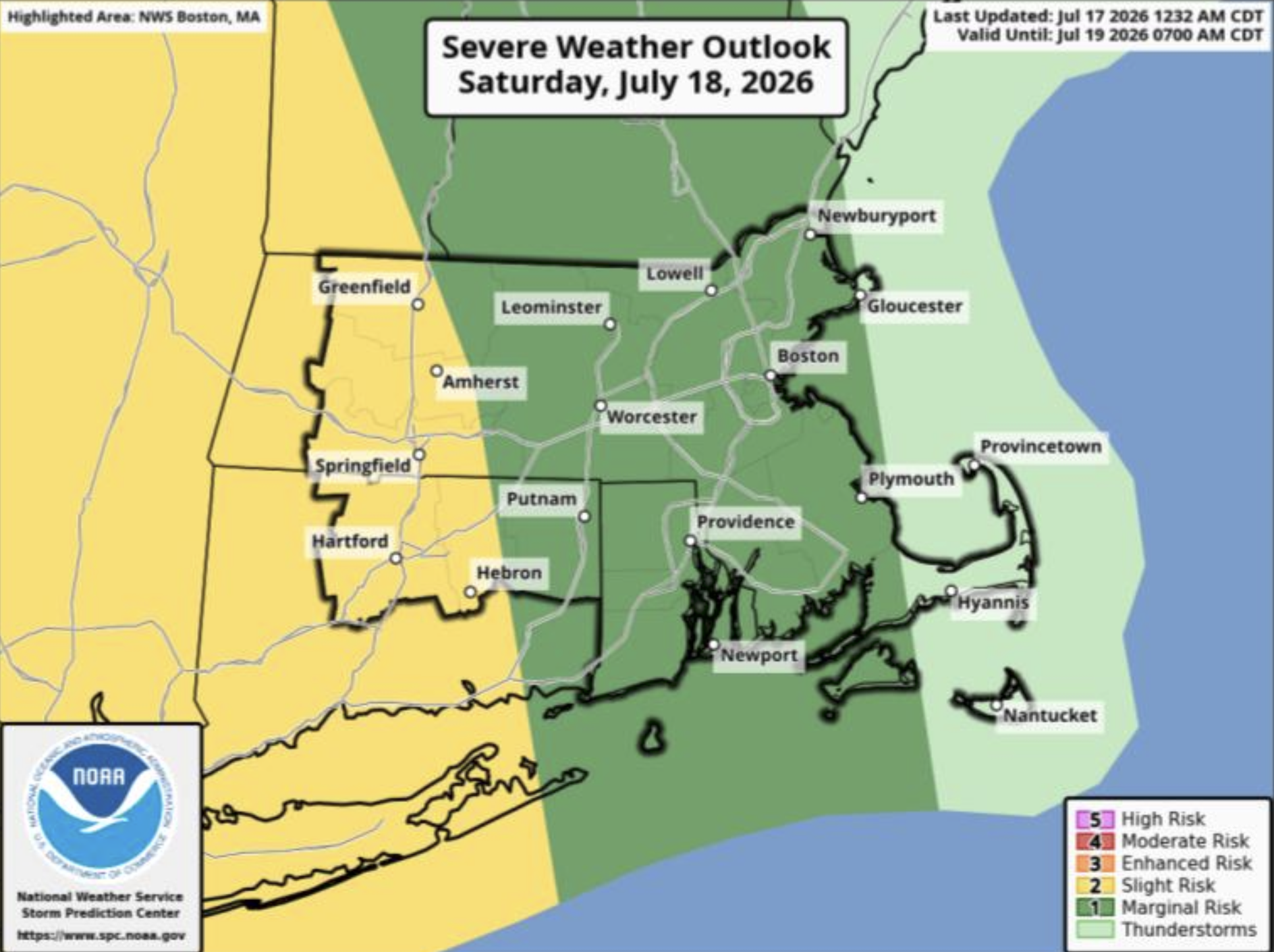
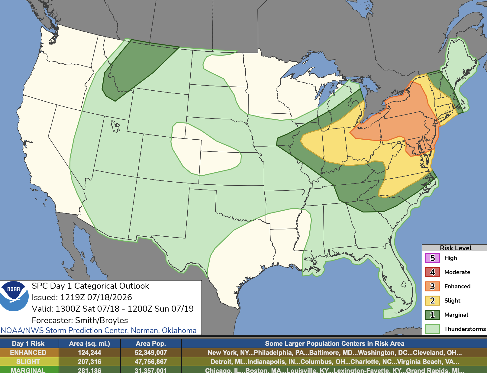
Saturday, July 18, 2026 Thunderstorm/Severe Weather Potential
WxWatcher007 replied to weatherwiz's topic in New England
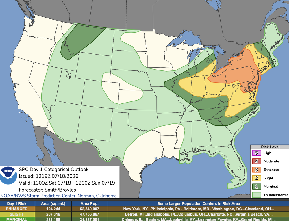
And not just the overall categorical risk. The 5% tor and wind has been pulled east as well. -
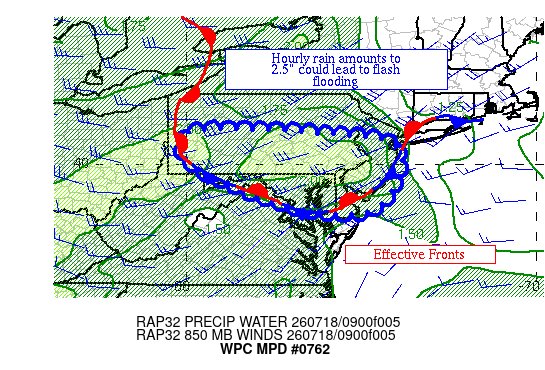
Flood Watch National Weather Service Baltimore MD/Washington DC 923 AM EDT Sat Jul 18 2026 .A slow-moving front will interact with a very humid airmass in place to result in multiple rounds of showers and thunderstorms this afternoon and evening. MDZ501-502-509-510-WVZ503-504-182130- /O.NEW.KLWX.FA.A.0009.260718T1600Z-260719T0600Z/ /00000.0.ER.000000T0000Z.000000T0000Z.000000T0000Z.OO/ Extreme Western Allegany-Central and Eastern Allegany-Western Garrett-Eastern Garrett-Western Mineral-Eastern Mineral- 923 AM EDT Sat Jul 18 2026 ...FLOOD WATCH IN EFFECT FROM NOON TODAY THROUGH 2 AM EDT LATE TONIGHT... * WHAT...Flash flooding caused by excessive rainfall is possible. * WHERE...Allegany and Garrett Counties in Maryland, and Mineral County in West Virginia. * WHEN...From noon today through 2 AM EDT late tonight. * IMPACTS...Excessive runoff may result in flooding of rivers, creeks, streams, and other low-lying and flood-prone locations. Creeks and streams may rise out of their banks. Low-water crossings may be flooded. * ADDITIONAL DETAILS... - High humidity coupled with a slow-moving front is expected to result in multiple rounds of showers and thunderstorms this afternoon and evening. Localized rainfall rates of up to 2 inches per hour, with isolated totals of 3 to 6 inches are possible. - Please visit www.weather.gov/safety/flood for flood safety and preparedness information. PRECAUTIONARY/PREPAREDNESS ACTIONS... You should monitor later forecasts and be prepared to take action should Flash Flood Warnings be issued.
-

Central PA Summer 2026 Discussion/Obs Thread
canderson replied to Voyager's topic in Upstate New York/Pennsylvania
Tuesday worries me more than today. That said the other week when a bomb went off in camp hill I didn’t think conditions were favorable for a microburst. -
That's from 7am lol
-
North side of a stationary front can mean
-
Narrative artwork for this morning: AQI: 196 (parts of the NYC area are above 200).

-
 Hope so...2.89" since June 1. Tuesday may be somewhat better at this range.
 -
Not at home but heard my Capital Weather lightning detected near my location go off this morning at 4:15. Looked at radar to see my house getting hit with a very nice robust cell followed by another one. Picked up .61” from that early morning round. A
-
Some showers and storms moving through already
-

2026-2027 Super El Nino
michsnowfreak replied to Stormchaserchuck1's topic in Weather Forecasting and Discussion
There was lots of snow left in the mountains when I went to Alaska last month! The last flakes of the season at Detroit were May 2nd. So if we can squeeze out early flakes in October, there will only be 3 calendar months in 2026 I don't see snow of some kind. -
Saturday, July 18, 2026 Thunderstorm/Severe Weather Potential
wx_observer replied to weatherwiz's topic in New England
SPC moved the severe threat a bit further east on update: Update: Previous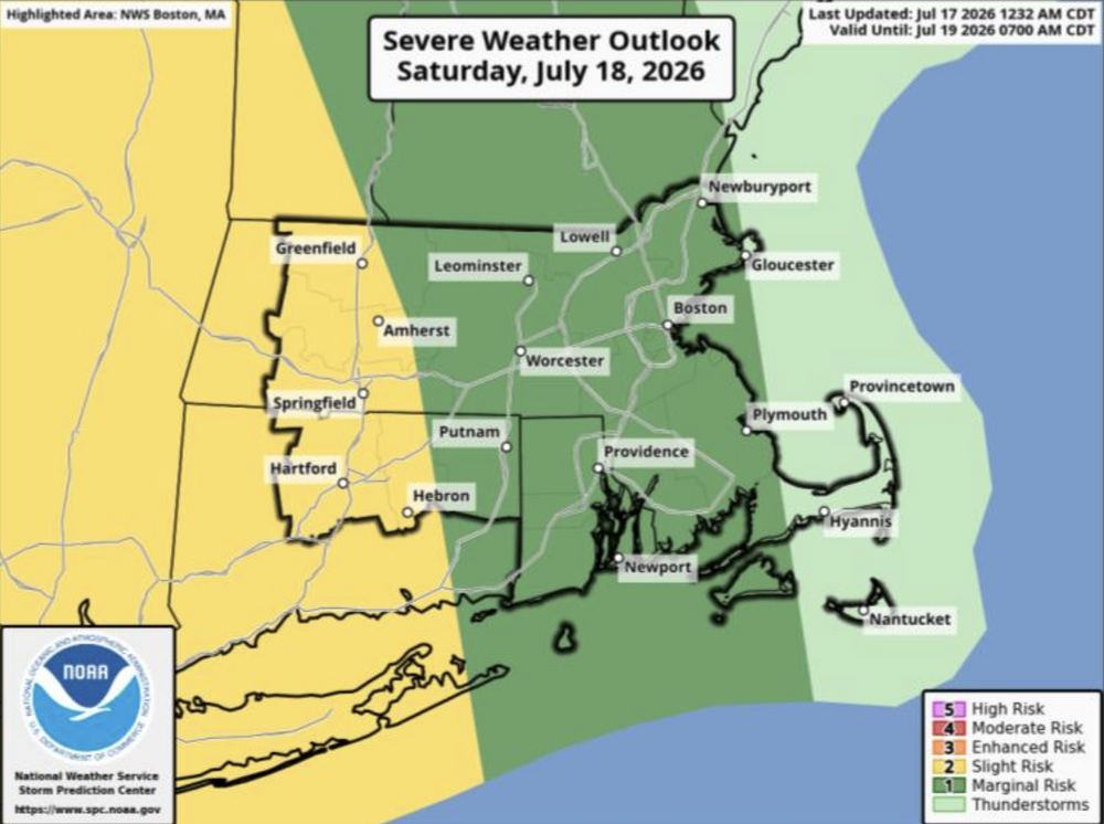
-
good luck
-
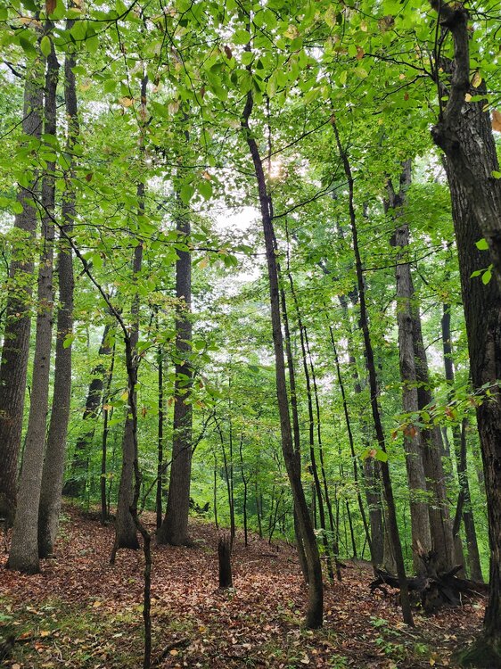
I'm about 3 miles into my hike here in Crownsville. When i first started about 80 minutes ago I could smell it and it looked nasty. Now the sun is breaking out and the smoke is thinning out.
-
Fine by me. The 4th of July storms did enough damage in my area
-

Central PA Summer 2026 Discussion/Obs Thread
Voyager replied to Voyager's topic in Upstate New York/Pennsylvania
We are getting a straight up downpour at the moment, so the first shot has been made. -
Thanks! We have season passes and always walk through Zoo America to say hi to the animals
-
probably downpours are the biggest threat with this....
-

E PA/NJ/DE Summer 2026 Obs/Discussion
JTA66 replied to PhiEaglesfan712's topic in Philadelphia Region
Hearing thunder already from a cell just off to my west. -
I personally think it won't be anything too significant. Lots of cloud cover in place. Destabilizing activity moving in now. Most enhanced or higher risks tend to disappoint for whatever reason
-
Air quality back to 182 here. Hopefully it ends soon because i want to take my kid out.
-

Central PA Summer 2026 Discussion/Obs Thread
Mount Joy Snowman replied to Voyager's topic in Upstate New York/Pennsylvania
Low of 68. Not entirely sure what to expect today as there’s quite a difference with the models in terms of timing/location/intensity. Just hoping no one suffers any damage. At least we get the smoke out of here this afternoon. -
 Pour découvrir des conseils utiles, vous pouvez voir https://servicesdepharmacie.icu/#.
 -
The rain that fell last week around DC wasn’t enough to keep up with climo. DCA now -7.44” ytd.
-