All Activity
- Past hour
-
First Winter Storm to kickoff 2025-26 Winter season
gonegalt replied to Baroclinic Zone's topic in New England
Weed is dope. Been smokin dope since '70. No one ever thought dope meant junk except Raymond Chandler readers. -
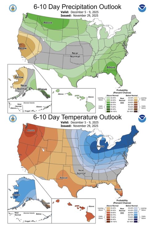
Goes to show how helpful a glacier to the north can be. A 1029 high just isn’t going to cut it 90% of the time but it would be advecting some seriously refrigerated air and incredibly low dew points. End of the week definitely bares watching, the GFS isn’t on an island with this idea, there’s been flashes from other model data. Buckle up.
-

First Winter Storm to kickoff 2025-26 Winter season
Ginx snewx replied to Baroclinic Zone's topic in New England
The more info the more we should be able to assimilate the data instead you claim the opposite. That is contrary to scientific reasoning. -
27.9, closest mesonets at 30, that are located inland but closer to sea level, always interesting to see the minor microclimate variation from elevation, water, and soil/land cover
-

First Winter Storm to kickoff 2025-26 Winter season
Ginx snewx replied to Baroclinic Zone's topic in New England
It will be and for the rest of the winter no matter what people will ride it. -
First Winter Storm to kickoff 2025-26 Winter season
radarman replied to Baroclinic Zone's topic in New England
I don't think this is inherently true... more runs should provide smaller moves per run if the model is stable and the assimilation is consistent. -
First Winter Storm to kickoff 2025-26 Winter season
UnitedWx replied to Baroclinic Zone's topic in New England
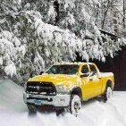
Quite a bit of variation through town. East side on the Bloomfield line can have a couple inches, and the west side of town have 4 times that -

First Winter Storm to kickoff 2025-26 Winter season
Damage In Tolland replied to Baroclinic Zone's topic in New England
Just please don’t let the NAM be right -

First Winter Storm to kickoff 2025-26 Winter season
powderfreak replied to Baroclinic Zone's topic in New England
Condescend this lol. It’s all good Ginxy, I respect your opinion. I just think we have too much info now and it skews our perception. -
You're getting white rain at best, surface temps are way too warm Probably have to wait til mid Dec for a light to moderate event. Seems likely we'll get something with coming pattern
-

Nov 28-30th Post Turkey Day Winter Storm
Harry Perry replied to Chicago Storm's topic in Lakes/Ohio Valley
-
-

First Winter Storm to kickoff 2025-26 Winter season
Ginx snewx replied to Baroclinic Zone's topic in New England
Here's my gig. This place gets very boring and repetitive so we try to stimulate convo and it works. Peeps get real deep thoughts not many fly by night "must be dope" posts. I am never angry but definitely always up for a debate. Sometimes it's good to be contra -
December 2025 Short/Medium Range Forecast Thread
John1122 replied to John1122's topic in Tennessee Valley
Currently have a sleet/snow/graupel mix here as well. -

First Winter Storm to kickoff 2025-26 Winter season
ORH_wxman replied to Baroclinic Zone's topic in New England
I think Boxing Day 2010 was basically the only time the GFS scored a NW coup in the 2005-2020 era. I do remember it scored a NW coup in back when it was the AVN in the New Years weekend 2000 storm. But that was back when the 12z Euro came out at 8pm on weather.unisys -
Nov 28-30th Post Turkey Day Winter Storm
Stevo6899 replied to Chicago Storm's topic in Lakes/Ohio Valley
Lol this is true too. I just want that big daddy. One day... -

First Winter Storm to kickoff 2025-26 Winter season
kdxken replied to Baroclinic Zone's topic in New England
-

Nov 28-30th Post Turkey Day Winter Storm
michsnowfreak replied to Chicago Storm's topic in Lakes/Ohio Valley
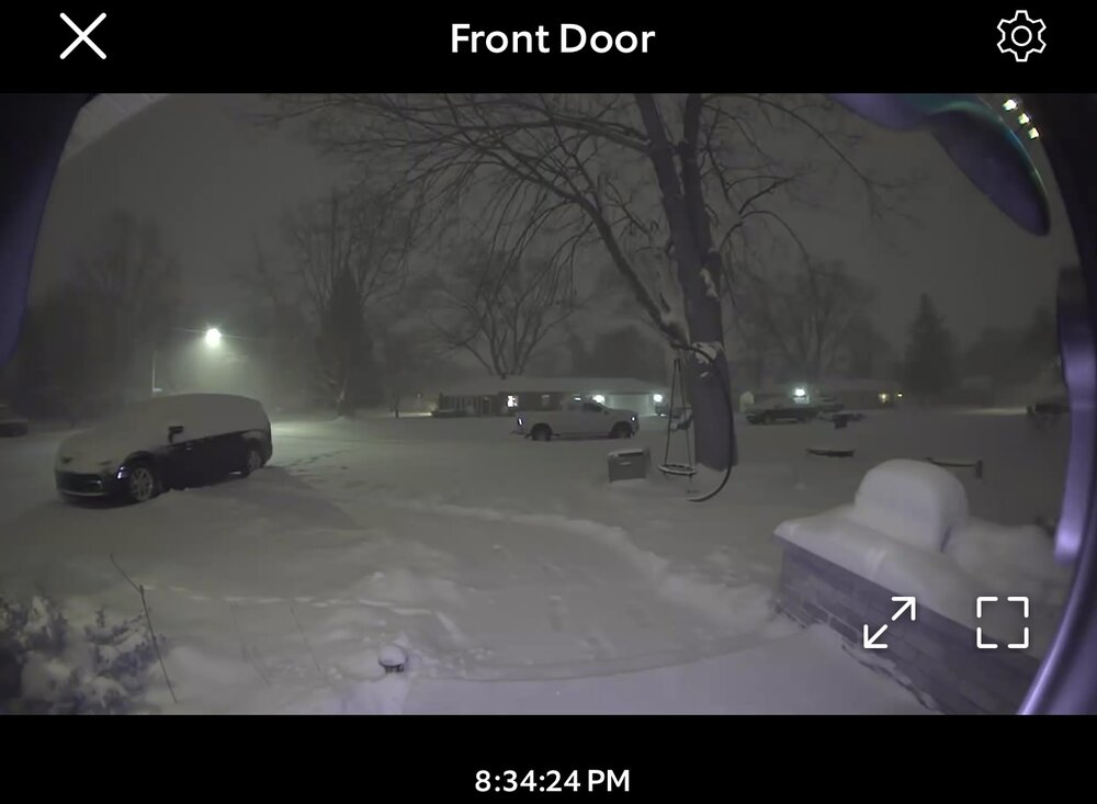
Right . Even though they beat Chicago almost every year. This time, Chicago gets the headstart. All things aside, very winter like storm for november. We are getting snow from a low tracking to our west. -

First Winter Storm to kickoff 2025-26 Winter season
Ginx snewx replied to Baroclinic Zone's topic in New England
True me too but too much fun. -
Nov 28-30th Post Turkey Day Winter Storm
mimillman replied to Chicago Storm's topic in Lakes/Ohio Valley
We have to make sure everyone knows that Detroit is a notorious climatological snow desert -

First Winter Storm to kickoff 2025-26 Winter season
powderfreak replied to Baroclinic Zone's topic in New England
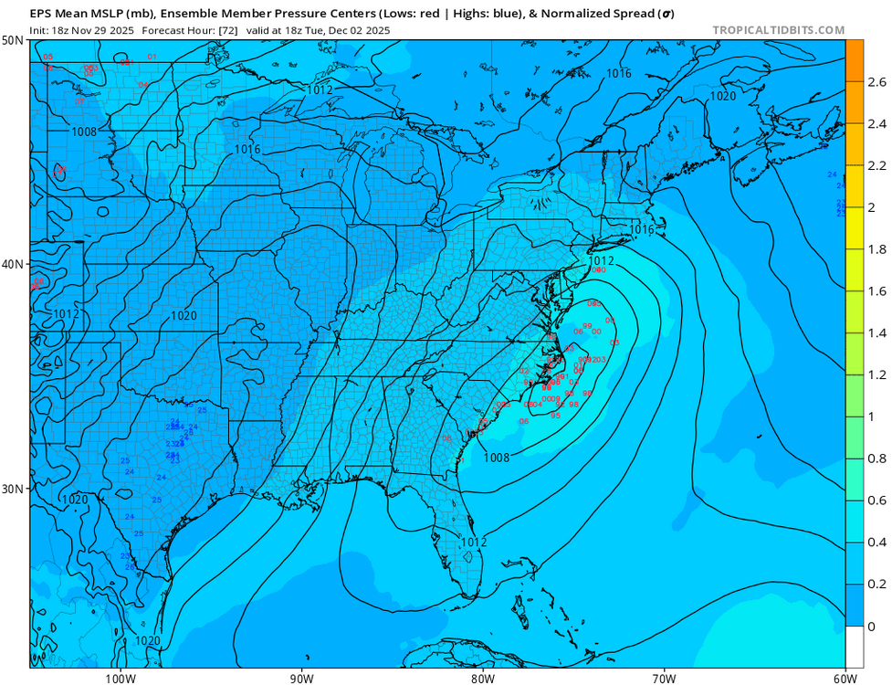
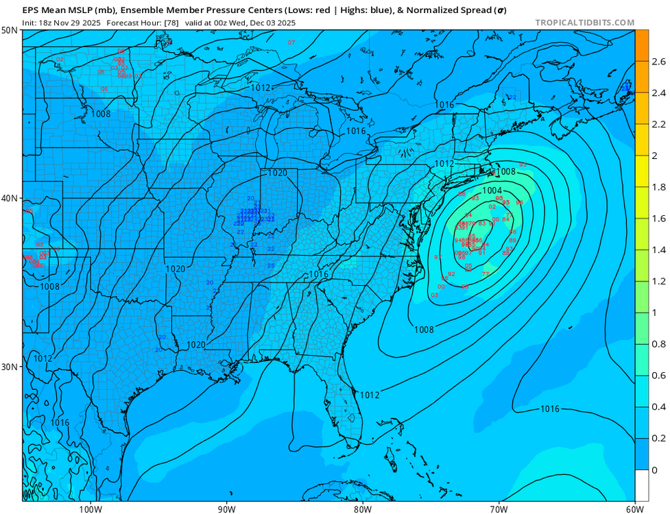
We benefited from it for sure. Say you see 12z and a storm is tracking in location X…. then we have to wait until 00z and its only 30 miles north… it seems like it’s making small movements. What we didn’t see was 18z that was 50 miles south… then 80 miles north 6 hours later…now we see an intermediary run and think the model is all over the place. -

First Winter Storm to kickoff 2025-26 Winter season
Ginx snewx replied to Baroclinic Zone's topic in New England
Dope to me has always been Heroin Opium but I guess. -
First Winter Storm to kickoff 2025-26 Winter season
Chrisrotary12 replied to Baroclinic Zone's topic in New England
No. I’m more on the side of the forecast I got today for Tuesday is different than the one I got 15 years ago in terms of the information at our fingertips. 15 years ago…. What model output did we have? Particularly from the ECMWF suite… 500 mb heights? MSLP? We’d have to wait for one of the mets with a WSI membership to tell us what it showed. today…. We can all see it and infer our own takeaways. -
Know this is not going on here. But found a live stream of Chicago O’Hare airport. The planes landing in nearly white out conditions. Can see all the snow plows on FlightRadar24. ATC is hopping.


