All Activity
- Past hour
-
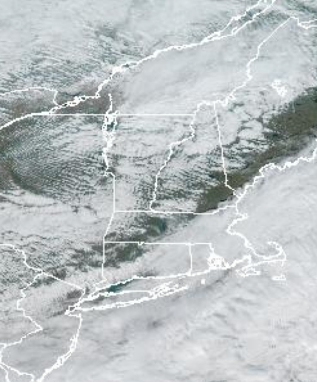
 Drip drip drip
 -
.thumb.png.4150b06c63a21f61052e47a612bf1818.png)
November 2025 general discussions and probable topic derailings ...
HIPPYVALLEY replied to Typhoon Tip's topic in New England
West is best today.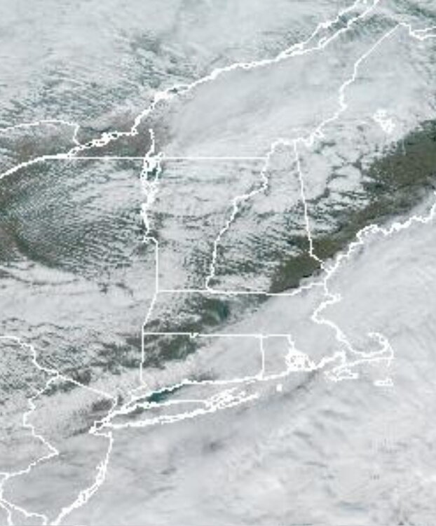
-
Its not facts at all. We are going into a favorable pattern .
-

December 2025 regional war/obs/disco thread
40/70 Benchmark replied to Torch Tiger's topic in New England
I'm pretty confident on an above average snowfall month north of the pike, at least. Here is my analysis from a couple of weeks ago, which is largely on track IMO...but the risk is colder. Expect this sale style of deviation from the MC forcing during the early portion of the season. December 2017-January 2018: December 2024-January 2025: An official SSW as defined by the reversal of the mean H85mb zonal westerly winds is unlikely, however, there is a low probability of one as suggested both by the minority of guidance, and the December 4, 1981 analog. Should there be a reversal of the H85mb zonal winds, December 4th is a good estimation of the when the PV will reach its weakest point before the split, and subsequent recovery begins. As per the expectation of a significantly weakened vortex resulting from bonafide warming that will fall short of a full zonal wind reversal, the December 2000 event is the preferred analog. This is appropriate since 2000-2001 is also the top analog from the seasonal composite. Accordingly, the polar vortex should have consolidated back to at least something approaching climatological levels prior to Christmas (18th-24th). It will then continue to strengthen with moderating temperatures in the east, per research conducted Lee et al (2019), which indicates that the arctic high regime is favored for less than 20 days following a weak PV. This is also consistent with the onset of a reflection event on December 21,1981, just over two weeks after the December 4th SSW. There is a slight chance of Ku event between the first and 15th of the month. The PNA should average negative during what will be active month, with numerous SWFE and overrunning events commencing by approximately the 10th. The probability for a White Christmas is above climatological levels given the active pattern and at least seasonable cold throughout the first half of the month, but it remains dubious for the coastal plane given the milder turn prior to the holidays. In fact, the proverbial "Grinch Storm" is more likely than not. A Pacific trough should begin to evolve towards the end of the month in conjunction with a rather stout PV, as a mild pattern ensues to ring in 2026. The month of December will average anywhere near normal, anywhere to -1F to +2F, except near normal to +2F across the middle Atlantic. -
Would be nice if this mid range look doesn't go poof
-

Central PA Fall Discussions and Obs
Voyager replied to ChescoWx's topic in Upstate New York/Pennsylvania
More and more I wish I'd have stayed in Arizona. -

November 2025 general discussions and probable topic derailings ...
WinterWolf replied to Typhoon Tip's topic in New England
Blows here…damp drizzly and raw-44 degrees. Doesn’t get much worse. -
November 2025 general discussions and probable topic derailings ...
WinterWolf replied to Typhoon Tip's topic in New England
Oh wasn’t meaning they can’t do it, just that they won’t next week. -
November 2025 general discussions and probable topic derailings ...
WinterWolf replied to Typhoon Tip's topic in New England
Yes, but 9 days out lol…that’ll probably cool some(but still be mild) as we close in. -

November 2025 general discussions and probable topic derailings ...
tamarack replied to Typhoon Tip's topic in New England
Temp reached 40 today after 9 straight maxima in the 30s. Open ground is bare, forested land still white. -
Yup. Then it was gone in a week.
-

2025-2026 ENSO
TheClimateChanger replied to 40/70 Benchmark's topic in Weather Forecasting and Discussion
The current three warmest Novembers are 1999 (+5.14F), 2016 (+4.98F), and 2001 (+4.42F). 2025 looks like it will be in the mix with these years. Rolling the 3 warmest Novembers forward through meteorological winter, here's what that analog map looks like. 1999-2000 is 3rd warmest of all time, 2016-2017 is 9th warmest, and 2001-2002 is 10th warmest. -
-
We have 10 feet of gutter. It's on the front porch, which is open to the air, and over the front steps. It limits the drip/freeze on the steps, but thaws/freezes do fill it with ice. October here was 1.8° AN and November is currently running 2.0° BN. The November departure will likely be less but will almost certainly stay BN. In 27 snow seasons, 6 have had AN Octobers and BN Novembers. All 6 had AN snow, ranging 90.4" to 142.3", and the average of 108.5" is exactly 20.0" above the current average.
-
2025-2026 ENSO
TheClimateChanger replied to 40/70 Benchmark's topic in Weather Forecasting and Discussion
-
This should help some who are whining over Christmas. Christmas of 1965, I recorded a high of 65 degrees. January of 1966, I received 36 inches of snow..............................
-
 That thing might be a screamer for the ages. Like the ones we had in 95/96
 -

November 2025 general discussions and probable topic derailings ...
CoastalWx replied to Typhoon Tip's topic in New England
That would be the time to do it, not this week. -
Par for the course around here lol
-
Wow didn’t know it was that long of a stretch.
-
 Did the same here at WXW1. Grueling stuff but it feels good when it's done. This GFS run also tries to bring tropical out of the Gulf at the same time Not sure how good a pattern that is for snow up at WXW2, but I feel pretty confident that we'll be getting below zero quite a bit if that Canada cold press comes through. Last December the village got below zero four times. KSLK got there six times.
 -

November 2025 general discussions and probable topic derailings ...
ORH_wxman replied to Typhoon Tip's topic in New England
Yeah def -PNA early on. There are some similarities to ‘07. Not exact match. -

November 2025 general discussions and probable topic derailings ...
H2Otown_WX replied to Typhoon Tip's topic in New England
An '07 redux? Are you thinking a -PNA for the first half of the month? -
.23 up here, anyone who better the over is cashing in, thought most of it was going to be to my south but what do those models know anyway?
-
This will be the 5th consecutive below normal precip Autumn, and the 10th out of 12. You have to go back to the 1950s/60s and 1910s/20s to find similar stretches. Rolling it forward, both of those periods were relatively snowy, but the current one is, um, not.