All Activity
- Past hour
-
Thank you for the kind words.
-
 https://mencarevirtual.com/# cheap viagra Cheap Viagra 100mg
 -
Don, That first picture is stunning! Well done!
-
The ominous flooding rains that were modelled for here didn't pan out, but still added up to 3.67 for August.
-

2026-2027 Record-breaking El Nino
mitchnick replied to Stormchaserchuck1's topic in Weather Forecasting and Discussion
He's in south Texas and has been real dry lately. Different perspective from his former residence in N Virginia. -
-

2026-2027 Record-breaking El Nino
csnavywx replied to Stormchaserchuck1's topic in Weather Forecasting and Discussion
I'll add on a bit here and say that the Arctic is much warmer now than in these events (especially post-2007). Quality of source region air is not going to be the same. If 1877-78 and the Great Nino of 1788-93 had trouble getting it to work, I'm not sure the baseline expectation here should be much different. The sample size here for these extreme Ninos is tiny ofc, so it is unlikely we have sampled the extent of the distribution but if these events (and the 1600s Nino) are any indication, we should probably not discount how fat the right (warm) tail is here.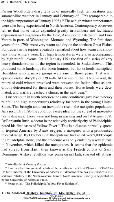
-
All's clear for now
-
Records: Highs: EWR: 99 (1944) NYC: 95 (2015) LGA: 94 (1944) JFK: 94 (1978) Lows: EWR: 57 (1945) NYC: 56 (1979) LGA: 58 (1979) JFK: 56 (1979) Historical: 1777 - The Battle of Bennington, delayed a day by rain, was fought. The rain delayed British reinforcements, and allowed the Vermont Militia to arrive in time, enabling the Americans to win a victory by defeating two enemy forces, one at a time. (David Ludlum) 1909 - A dry spell began in San Bernardino County of southern California that lasted until the 6th of May in 1912, a stretch of 994 days! Another dry spell, lasting 767 days, then began in October of 1912. (The Weather Channel) 1916 - Altapass, NC, was deluged with 22.22 inches of rain in 24 hours to establish a state record. (The Weather Channel) 1946: St. Louis, MO set its 24 hour rainfall record with a deluge of 8.78 inches on this date through the 16th. (Ref. AccWeather Weather History) 1969: During the early evening, an Air Force Reconnaissance plane investigating Hurricane Camille in the Gulf of Mexico found an unbelievably low central pressure of 905 millibars or 26.72 inches of mercury. This information allowed forecasters to warn residents along the coast that Camille would cause damage of unprecedented proportions. (Ref. AccWeather Weather History) 1974: De Pere, WI -- Lightning struck and killed a youth as he was driving a tractor on a family farm three miles west of De Pere. (Ref. Lightning-The Underrated Killer.pdf) 1978: One foot of snow fell at Yellowstone National Park in northwestern Wyoming. (Ref. AccWeather Weather History) 1980: DCA, first minimum temperature below 70 °F since July 14th a record consecutive number of hot nights. (Ref. Washington Weather Records - KDCA) 1980: Massive flooding was reported in Texas along the Cueces and Frio Rivers. Heavy rainfall from Hurricane Allen pushed rivers to levels to as much as 10 feet above flood stage. (Ref. AccWeather Weather History) 1981: On this date through the 19th, the center of Tropical Storm Dennis moved slowly through the Florida Straits and onto the lower southwest coast the next morning. Dennis then moved northeastward through southern Florida, emerging into the Atlantic between Cape Canaveral and Daytona Beach early on the 18th, taking nearly three days to cross the state. Highest winds occurred mostly in squalls well east of the center. The highest wind gusts reported with Dennis were 55 to 60 mph along the lower southeast coast on the 17th. Two tornadoes were reported in Plantation Key and Haulover Beach as Dennis moved through the Keys and Florida Bay, but no injuries or significant damage resulted. 10 to 20 inches of rain fell south and east of Lake Okeechobee, with amounts of 5 to 10 inches reported along the southeast and east-central coast. West Kendall measured 20.37 inches and amounts of 19 to 20 inches were common through the Homestead/Florida City area. (Ref. Wilson Wx. History) 1986: Thunderstorms containing devastating winds ripped across sections of eastern South Dakota. Winds gusting to 100 mph uprooted trees and damaged buildings across northern Hanson County. Several farms had all of their barns, silos, garages, and small buildings wiped out from the extreme winds. A powerful thunderstorm rolled across extreme northeast Nebraska and northwest Iowa. Winds were estimated at 70 mph across portions of Dixon and Dakota Counties uprooting numerous trees and damaging homes and power lines. Across the Missouri River in Woodbury County, Sioux City received 60 mph winds causing some power outages and scattered damage across town. (Ref. Wilson Wx. History) 1987 - Afternoon and evening thunderstorms developing along a cold front produced severe weather from Oklahoma to Wisconsin and Lower Michigan. Thunderstorms in central Illinois produced wind gusts to 80 mph at Springfield which toppled two large beer tents at the state fair injuring 58 persons. Thunderstorms also drenched Chicago IL with 2.90 inches of rain, making August 1987 their wettest month of record. (The National Weather Summary) (Storm Data) 1988 - Thunderstorms developing along a slow moving cold front produced severe weather from North Dakota to Lower Michigan during the day. Nine tornadoes were sighted in North Dakota, and thunderstorms also produced hail three inches in diameter at Lakota ND, and wind gusts to 83 mph at Marais MI. Thirty-seven cities in the northeastern U.S. reported record high temperatures for the date, including Rockford IL with a reading of 104 degrees. (The National Weather Summary) (Storm Data) 1989 - Late afternoon and evening thunderstorms in the Central High Plains Region produced golf ball size hail at La Junta CO, Intercanyon CO, and Custer SD. Afternoon thunderstorms over South Texas drenched Brownsville with 2.60 inches of rain. Fair skies allowed viewing of the late evening full lunar eclipse from the Great Lakes Region to the Northern and Central Plains Region, and across much of the western third of the country. (The National Weather Summary) (Storm Data) 1992 - One of the most destructive United States hurricanes of record started modestly as a tropical wave that emerged from the west coast of Africa on August 14. The wave spawned a tropical depression on August 16, which became Tropical Storm Andrew the next day. 1994: A male tourist drowned in a rip current at Miramar Beach near Destin, FL while saving his daughter. The rip current was caused by swells and strong onshore winds in the wake of Tropical Storm Beryl. (Ref. Wilson Wx. History) 2000: Strong thunderstorm wind gusts of 80 to 100 mph moved through the community of Golden Shores, NV causing one million dollars in damage. Two mobile homes were destroyed and 17 other mobile homes and frame houses were unlivable. Another 117 homes received minor damage. In addition, numerous pontoon boats were either flipped over or destroyed and several windows were broken on homes and cars. The storm snapped several power lines which cut power, in turn cutting the town’s water supply. (Ref. Wilson Wx. History)
-
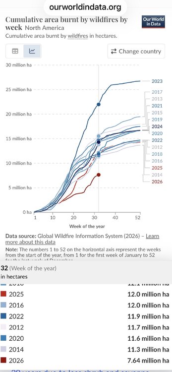
Per this reliable and objective source, year 2026 as of week 32 has had the lowest area burnt in North America since 2012 by a good margin vs other years as of the same week (by a third). Also, globally it has been by a large margin the lowest for this point in the year since 2012 as I’ve been posting despite being near the warmest globally along with 2025 being 2nd lowest. My point in posting about 2026 for N.A. and 2026/5 globally is not to say CC is causing a decrease in wildfire activity because I’m not saying that. Instead, my point in posting this is to show that that there isn’t a proven simple relationship between CC and wildfire related activity and that different kinds of wildfire related data from various sources from various periods can be presented in various ways:
-
79 / 66 partly-mostly cloudy with rain currently focused into PA and our SW. Pending on sun - low- mid 80s in the warm spots, upper 70s elsewhere. Rain overnight will dump where some of the downports setup 1-2 inches. Clearing out monday with a warm 8/16 - 8/19 mid-upper 80s and stray 9 0 in the warmest locations. Cooler 8/20 - 8/24, then moderation back to and above normal, overall above normal to close the month.
-
.20 so far today. 2.0 for the month so far. Much better than last year in SW Frederick area.
-
August 16 1981: Chilly temperatures are felt across Minnesota. Tower reports a low of 33 degrees. For Sunday, August 16, 2026 1777 - The Battle of Bennington, delayed a day by rain, was fought. The rain delayed British reinforcements, and allowed the Vermont Militia to arrive in time, enabling the Americans to win a victory by defeating two enemy forces, one at a time. (David Ludlum) 1909 - A dry spell began in San Bernardino County of southern California that lasted until the 6th of May in 1912, a stretch of 994 days! Another dry spell, lasting 767 days, then began in October of 1912. (The Weather Channel) 1916 - Altapass, NC, was deluged with 22.22 inches of rain in 24 hours to establish a state record. (The Weather Channel) 1987 - Afternoon and evening thunderstorms developing along a cold front produced severe weather from Oklahoma to Wisconsin and Lower Michigan. Thunderstorms in central Illinois produced wind gusts to 80 mph at Springfield which toppled two large beer tents at the state fair injuring 58 persons. Thunderstorms also drenched Chicago IL with 2.90 inches of rain, making August 1987 their wettest month of record. (The National Weather Summary) (Storm Data) 1988 - Thunderstorms developing along a slow moving cold front produced severe weather from North Dakota to Lower Michigan during the day. Nine tornadoes were sighted in North Dakota, and thunderstorms also produced hail three inches in diameter at Lakota ND, and wind gusts to 83 mph at Marais MI. Thirty-seven cities in the northeastern U.S. reported record high temperatures for the date, including Rockford IL with a reading of 104 degrees. (The National Weather Summary) (Storm Data) 1989 - Late afternoon and evening thunderstorms in the Central High Plains Region produced golf ball size hail at La Junta CO, Intercanyon CO, and Custer SD. Afternoon thunderstorms over South Texas drenched Brownsville with 2.60 inches of rain. Fair skies allowed viewing of the late evening full lunar eclipse from the Great Lakes Region to the Northern and Central Plains Region, and across much of the western third of the country. (The National Weather Summary) (Storm Data) 1992 - One of the most destructive United States hurricanes of record started modestly as a tropical wave that emerged from the west coast of Africa on August 14. The wave spawned a tropical depression on August 16, which became Tropical Storm Andrew the next day. Observances: 16 Sun Tell a Joke Day 16 Sun National Rum Day 16 Sun National Bratwurst Day 16 Sun National Airborne Day 16 Sun Bennington Battle Day 16 Sun National Roller Coaster Day 16 Sun National Backflow Prevention Day 16 Sun National Authenticity Day 16 Sun National Energy Multiplier Day 16 Sun National Independent Worker Day 16 Sun National Tell A Joke Day 16 Sun National Work From Home for Wellness Day 16 Sun St. Roch’s Day
-
What a stretch.
-
Nice paving weather too.
-

2026-2027 Record-breaking El Nino
michsnowfreak replied to Stormchaserchuck1's topic in Weather Forecasting and Discussion
This is an interesting take Jeb! I know you love your snow, but many snow lovers take a hard pass on winter rain. -

Augdewst 2026: Summer's Last Stand
CoastalWx replied to Prismshine Productions's topic in New England
Lows in the 40s are for Christmas. -
Typically Fall. Probably not until October.
-
I am postponing overseeding till the middle of Sept., maybe by then we get some Nino connection. I work and therefore can not manually water the lawn. I hope we dont repeat last Sept., and October when soil moisture hit very low levels of near 17 %
- Today
-
Where the F is Nino ?
-
Best we can hope for now is a few hours of sun later this afternoon to destabilize
-

2026 Atlantic Hurricane Season
bigtenfan replied to Stormchaserchuck1's topic in Tropical Headquarters
While I do understand that even in a hostile El Nino year, a storm can sneak through and create widespread destruction, as a SE Florida homeowner I am very happy to be reading these posts. What I find most amazing is that here we are on August 16 and the main 2026 Atlantic season thread is only 6 pager so far. -

Central PA Summer 2026 Discussion/Obs Thread
canderson replied to Voyager's topic in Upstate New York/Pennsylvania
The amounts might not be much but it seems destined to me misty most of it -
Sweet! We'll definitely wait until spring. The wood will need time to dry out. Once it's dry I'd sand it out and apply some high quality oil. I'll have it looking like a wood floor.
-
An hour of drizzle. .10" Swift water rescues teams must be busy this morning.