All Activity
- Past hour
-

2026-2027 Super El Nino
Stormchaserchuck1 replied to Stormchaserchuck1's topic in Weather Forecasting and Discussion
Decadal trend lines of NAO are pretty linear with what's happening. We've had pretty much 14 straight +NAO Winter's, at the height of this decadal +NAO phase. Some think it's associated with lagged +AMO. Over the next several decades the "long term cold blob" will likely be somewhere else or reverse. -
Tornado reported in Troy Hills, NJ
-

2026 Mid-Atlantic Severe Storm General Discussion
MN Transplant replied to Kmlwx's topic in Mid Atlantic
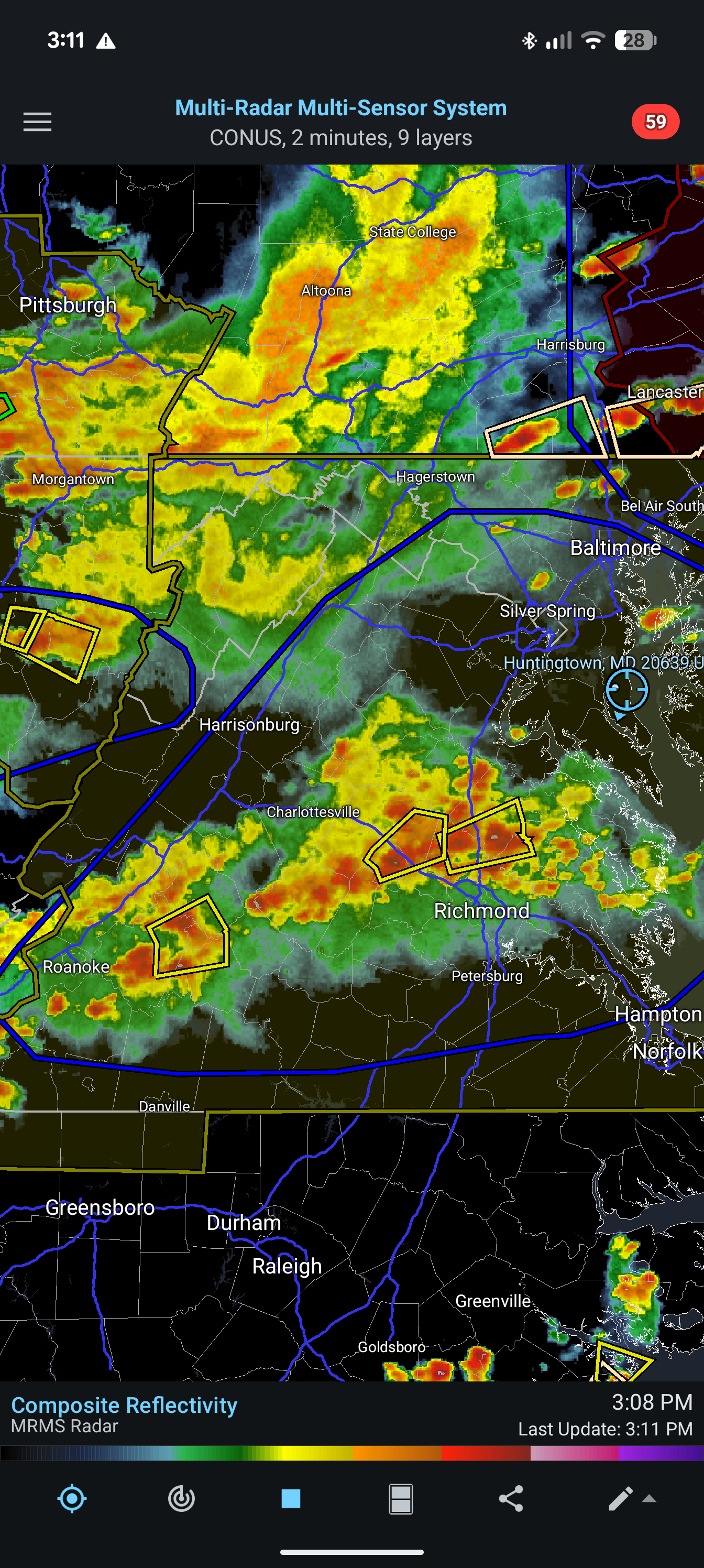
Based on the CAMs, we were all hoping that this would be a two-round day, with discrete cells out front before the organized stuff gets here later. We just didn't get initiation and now have to wait for the stuff in Ohio to come together. 18z HRRR brings it in around 10pm, but there is a risk of it being south. -

E PA/NJ/DE Summer 2026 Obs/Discussion
RedSky replied to PhiEaglesfan712's topic in Philadelphia Region
Radar is sparse with all this juice and an excellent trigger what is going on -

2026 Mid-Atlantic Severe Storm General Discussion
Eskimo Joe replied to Kmlwx's topic in Mid Atlantic
4,700 SBCAPE on the 18z sounding, but the convective temp is 88 degrees. With this thick cirrus shield in place at peak heating, I doubt we get enough sunshine to reach this. Perhaps south of US 50 and the eastern shore, as @wxmeddleralluded to works out, but this is shaping up to be an ugly bust here in the metros. -
My wife works in East Hanover but thankfully she didn’t go into the office today. But she said their office is all going into the basement. Can see why based off of the radar signature.
-
Whiff lol.
-
God damn. That looks really bad east of Motown...
-
More scary then fun today this is turning into the worst severe day in the area so far this summer
-

E PA/NJ/DE Summer 2026 Obs/Discussion
BBasile replied to PhiEaglesfan712's topic in Philadelphia Region
Have some popcorn to the SW now. -
E PA/NJ/DE Summer 2026 Obs/Discussion
RedSky replied to PhiEaglesfan712's topic in Philadelphia Region
.80" in ten minutes lol one fast tiny shower -
I'm seeing 51,000 ft on Radarscope and WeatherFront
-

Central PA Summer 2026 Discussion/Obs Thread
canderson replied to Voyager's topic in Upstate New York/Pennsylvania
Careful - some frogs are endangered and strangling them will lead to federal indictments -
That looks like a strong tornado southeast of Morristown. Debris sig?
-
Echo tops with some of the storms in NJ are over 30,000 feet. Not very common around these parts. The one just north of Morristown is showing 37,000 ft.
-

E PA/NJ/DE Summer 2026 Obs/Discussion
The Iceman replied to PhiEaglesfan712's topic in Philadelphia Region
Stuff in SE PA having a tough time getting going. -

Central PA Summer 2026 Discussion/Obs Thread
Itstrainingtime replied to Voyager's topic in Upstate New York/Pennsylvania
Frog strangler here in Conestoga. Pouring rain. -
Yes, I do not like to see a big cluster of storms S of an area of interest. It seems more often than not, that means the area to the N is ripped out!
-
It is…
-
that one looks to go south of Rt.78 in NJ at the moment
-
That rotation near Morristown looks legit.
-
E PA/NJ/DE Summer 2026 Obs/Discussion
RedSky replied to PhiEaglesfan712's topic in Philadelphia Region
A gully washer something that has been near impossible this year although brief -
You don't fool me, weather. I can see the SoMD split teeing up already.
-
Warm fronts are fun...
.thumb.jpeg.f5c6ba9d911ec96b3b124f8606aee58e.jpeg)