All Activity
- Past hour
-

Feb 22nd/23rd "There's no way..." Storm Thread
SnowenOutThere replied to Maestrobjwa's topic in Mid Atlantic
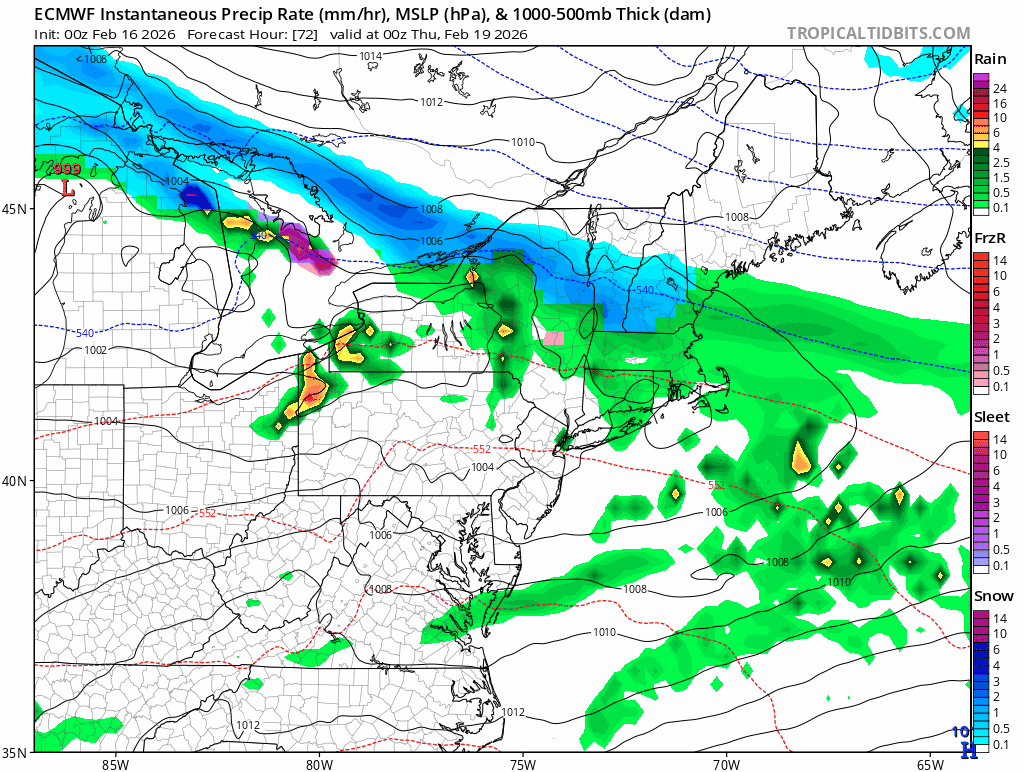
Why I like the GFS and CMC Part 1: 500mb wind analysis Both the GFS and CMC have a potent ULL at the H5 layer dive southward and close off from the prevailing flow. This directs a 500mb jet streak to develop directly to the south of this closed off low and if the strength/placement of the the ULL is correct it puts us directly in the LER (left exit region) of a rather intense jet streak which promotes upper level diffluence I mean look at that! It's nearly perfectly placed to help us squeeze out whatever moisture we have in the column by lifting it upwards. The impact of our jet streak induced diffluence is easily seen in our vorticity map. Notice how the vorticity nearly perfectly follows where that jet streak is located. This is a great sign that we could get some good lift throughout the atmosphere! If we are nitpicking then I would generally want to see a ULL that is both further south, a bit west (though too far starts to risk thermal issues), but most importantly is more neg tilt and stronger! Part 2: Moisture Transport and Low Level Winds Since the DGZ seems to be located around 700mb on the soundings and we have lift from the 900mb layer up into the DGZ we are looking to see moisture transport anywhere between 900-700mb. Luckily that is exactly what the GFS offers! We can see on the 850mb wind maps we have a closed low off the NC coast which promotes easterly winds off the Atlantic which helps provide us a decent moisture fetch. This same principal applies for the layers of 925-700ish mb but the wind becomes more out of the south; which though is worse than directly from the Atlantic it's still not terrible. Part 3: Baroclinicity There is a rather pronounced baroclinic boundary for this low to feed off of and intensify in accordance with it and the favorable H5 dynamics. As we can see we have a rather strong thermal gradient right off NC with temperatures reaching near 70 next to a 20+ degree temp drop to the NW. My only concern is that this gradient is more W-E focused where we would rather have a N/S gradient to help the H5 pull the storm up the coast. In conclusion There is a lot to like about this setup IF the GFS/CMC is right! While placement of where the coastal low is captured and various details which are very impactful are yet to be worked out as long as we have these players on the field we got a chance! However, this is not a post necessarily stating I think this is likely or the most plausible outcome (we really need the Euro to come aboard) but simply analyzing what this storm has the potential to be. -

Winter 2025-26 Medium/Long Range Discussion
DocATL replied to michsnowfreak's topic in Lakes/Ohio Valley
DCA-BWI-PHI may jackpot in this nor’easter. GFS has silly totals for the DelMarVa. -

Wednesday Feb 18 Mixed event. NOPE …ain’t happenin’
dryslot replied to HoarfrostHubb's topic in New England
I think i've seen better streamers off the lakes this winter that produced, That radar looks like shit. -

“Cory’s in NYC! Let’s HECS!” Feb. 22-24 Disco
brooklynwx99 replied to TheSnowman's topic in New England
also, just saying, the euro did an absolutely awful job with tonight’s nonevent this was within 90 hours and was a simpler setup, it was too amped with the wave
-
I thought it was supposed to get warm.

-
Ok. So?
-

Wednesday Feb 18 Mixed event. NOPE …ain’t happenin’
JACKASS replied to HoarfrostHubb's topic in New England
0.0 and holding steady! -
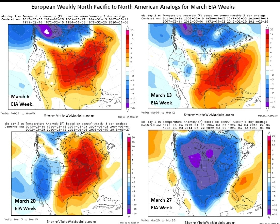
why are we not talking early March yet. I am seeing 1993,1958,2014 stuff lol
-
"You see this scar? Winter of 2023... She broke my heart."
-
you know he is a christian right?
-
-

Feb 22nd/23rd "There's no way..." Storm Thread
clskinsfan replied to Maestrobjwa's topic in Mid Atlantic
Everything is looking pretty similar as far as precip goes. There are differences on how the models get there. And the GEM is a major outlier. But I think its at least a pretty safe bet that we are going to see some snow at least. -

Wednesday Feb 18 Mixed event. NOPE …ain’t happenin’
CT Valley Snowman replied to HoarfrostHubb's topic in New England
Is anyone even snowing or had accumulation?, lol. Radar is getting shredded by dry air. Dews in the teens advecting southward. -
Nope, Going to need more then just a one run showing, And i don't care how many days out we are, When things go right you see some direct hits with models and you have some east, And when its all said and done you get them moving to a consensus in the middle but we have had none of that.
-
It’s overcast here and you can feel a south breeze. You must be in an isolated hole
-

Wednesday Feb 18 Mixed event. NOPE …ain’t happenin’
The 4 Seasons replied to HoarfrostHubb's topic in New England
Haven't been paying much attention to the epic fog threat, so i have no idea but. Vis on surrounding ASOS have gone up for the most part around here, but there seems to be some pockets of more dense fog <1SM -

“Cory’s in NYC! Let’s HECS!” Feb. 22-24 Disco
CoastalWx replied to TheSnowman's topic in New England
Show me the euro has a storm storm storm, I’m tired and I want to go to bed. I saw the GFS about an hour ago and it’s gone right to my head. -

Pittsburgh/Western PA WINTER ‘25/‘26
RitualOfTheTrout replied to Burghblizz's topic in Upstate New York/Pennsylvania
Looks like an inverted trough type setup. Those are notoriously hard to pin point outside of very short term. I wouldn't bank on that happening, probably why NWS isn't to excited. -

“Cory’s in NYC! Let’s HECS!” Feb. 22-24 Disco
40/70 Benchmark replied to TheSnowman's topic in New England
More time of what? For you to alienate your family for the rest of the week? It's not about time....certain things I need to see to distinguish this from the usual modeling antics we have seen. -
A lot of patchy coverage on lawns especially that get sun during the day. Upper 30s and fog is where you start really doing a number on the snowpack.
-
You ever look in a storm's eye, Chief?
-
“Cory’s in NYC! Let’s HECS!” Feb. 22-24 Disco
40/70 Benchmark replied to TheSnowman's topic in New England
Yes, I'm not playing that stupid game this go around. -
“Cory’s in NYC! Let’s HECS!” Feb. 22-24 Disco
The 4 Seasons replied to TheSnowman's topic in New England
Yeah, lots of wasted potential. Starting with that Feb 1-2 tease.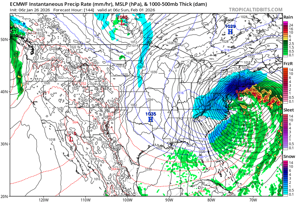
-
“Cory’s in NYC! Let’s HECS!” Feb. 22-24 Disco
CoastalWx replied to TheSnowman's topic in New England
Hoarfrost starts the thread, chief. -
“Cory’s in NYC! Let’s HECS!” Feb. 22-24 Disco
40/70 Benchmark replied to TheSnowman's topic in New England
Agreed....this is why I need to see 00z at least hold to even consider taking this seriously.