All Activity
- Past hour
-
We knew
-
A few claps of thunder. Some rain. Not bad
-
Had a lot of lightning around 3:30 and power went out. Parts of town still out
-
Looks like FL!
-
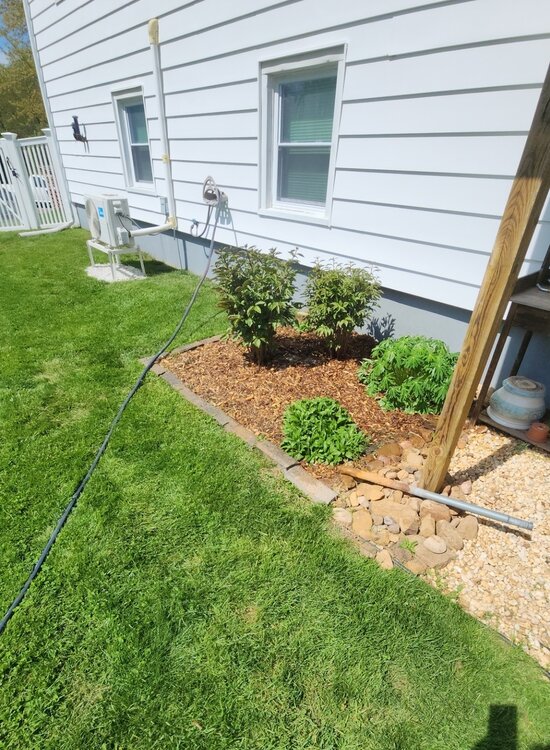
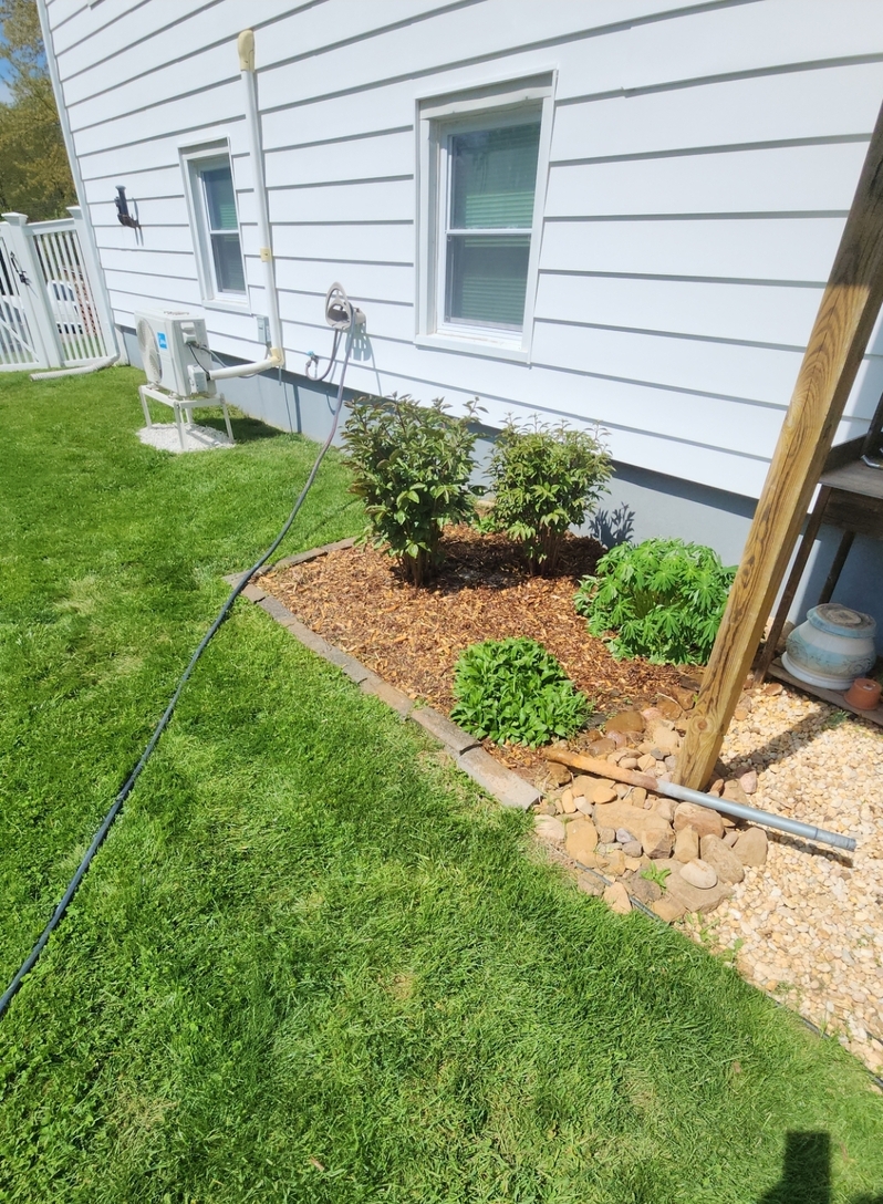
Where do you get that fertilizer? Is is a local product?
-
Steinderstorm earlier.
-
Trust in The King
-
Yes that was impressive. Cirrus shield extended down into Frederick and the SPC issued a meaoscale discussion for that cell alone.
-
Yeah. It's probably time to shut the thread lol
-
Yeah. An inch of rain over a week isn't exactly a drought buster lol. Looks like sprinkles and clouds for a week. Yay
-
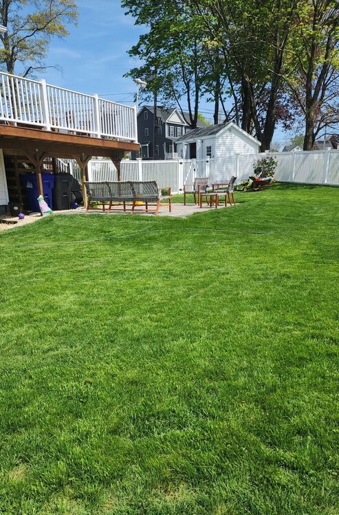
Lawn looks great. Hydrangeas and peonies about to bloom here already. Everything probably about a week or two early here. And before anyone comments about fertilizer and pesticides my lawn is 100% organic. I use organic fertilizer made from waste distillery grains. Beer...
-
59 degrees this morning. Dense fog Picked up 0.37” of rain last night from the storm. The precipitation for today doesn’t look to bad. But the wind is going to stick around… Put my hummingbird feeder out yesterday and already have one coming to it.
- Today
-
Banger!
-
Oops...nevermind
-

2025 Atlantic Hurricane Season
BarryStantonGBP replied to BarryStantonGBP's topic in Tropical Headquarters
Lmao keep dreaming ive given up on mainstream forecasters and models and note the similarities in 2017 and 2025 -
Most storms slid to the north or south here overnight, only 0.06. Summery 53F out
-
Some stuff just north now. What a Steiner pattern.
-
Can see the ltg flash from the storms by Fall River to the cape.
-
Well look at that. Another system that is drying up as we get closer.
-
Cutoff low associated with the Omega Block this weekend into next week? Definitely. But back-to-back cutoff lows late next week? That's got to be an insult to injury. Time to start thinking about writing off the month already? IND: .LONG TERM (Saturday through Thursday)... Issued at 255 AM EDT Fri May 2 2025 The long term period will be characterized by a somewhat stagnant pattern featuring a couple of cutoff upper level low pressure centers, which will impact the area over the weekend into early next week, with the second following mid to late week. This will lead to seasonably cool and dreary conditions through the weekend into Monday, with near constant chances for showers and occasionally a few thunderstorms. As the first low departs, a break in rain chances is expected Monday night into Tuesday night before the threat for showers returns Wednesday onward. Differences in model handling of the blocky pattern and particularly the second low pressure system leads to lower confidence and thus lower PoPs later in the forecast period. Temperatures will moderate mid to late week as the mid to upper level cold pool associated with the first low departs, though as with precipitation chances, uncertainty is higher in this regard, as some guidance shows a connection to a longwave trough developing with the second low, which could allow another intrusion of cooler air into the region. Nonetheless, the story of the next week or so will be temperatures near to below normal and frequently damp and dreary conditions. ILN: .LONG TERM /SATURDAY NIGHT THROUGH THURSDAY/... Surface wave will slowly exit to the east Saturday night, taking widespread showers with it. However, behind the wave, a cut-off upper level low will remain wobbling over the Ohio Valley Sunday through Tuesday. Cool air aloft associated with the cut-off low will bring mostly cloudy skies and scattered showers during the day along with below normal temperatures. The low will slowly shift off to the east into mid-week. Guidance is understandably uncertain with what follows in this blocky pattern. One potential solution is another cut-off low to replace the first (i.e., cool and damp). However, differences in placement of this second upper low could lead to different sensible weather, so will keep chance PoPs and near-normal temperatures until there is a little more agreement in the guidance.
-
My poor dog is totally gone wake up soon with the thunder. I swear she has a sixth sense for when storms are approaching too. My poncho is ready!
-
Decent storm…lots of lightning.
-
We bang.
-

2025 Atlantic Hurricane Season
WxWatcher007 replied to BarryStantonGBP's topic in Tropical Headquarters
I think this is it. Too far north and you’re dealing with cooler SSTs and inherently more stable/dry air due to proximity to the Sahara and subtropics. IMO there were robust waves coming off too far north that reinforced SAL during the climatological peak for SAL, and stability even as SAL declined. The further south waves fared much better, especially after SAL pushes weren’t as potent in the tropical Atlantic. I think that can be much less pronounced this season during peak, but I don’t know. -
Brief tiny downpour moved thru yonkers.


.thumb.png.e1f898d009b2415a204433df288e6f2a.png)


