-
Posts
3,536 -
Joined
-
Last visited
Content Type
Profiles
Blogs
Forums
American Weather
Media Demo
Store
Gallery
Everything posted by Daniel Boone
-
Should be some pretty good snow showers in the Mountains if that pans out.
-
Yeah, it's basically inevitable now, unfortunately.
-

Fall/Winter Banter - Football, Basketball, Snowball?
Daniel Boone replied to John1122's topic in Tennessee Valley
Looks like it's about to chomp us, lol . -
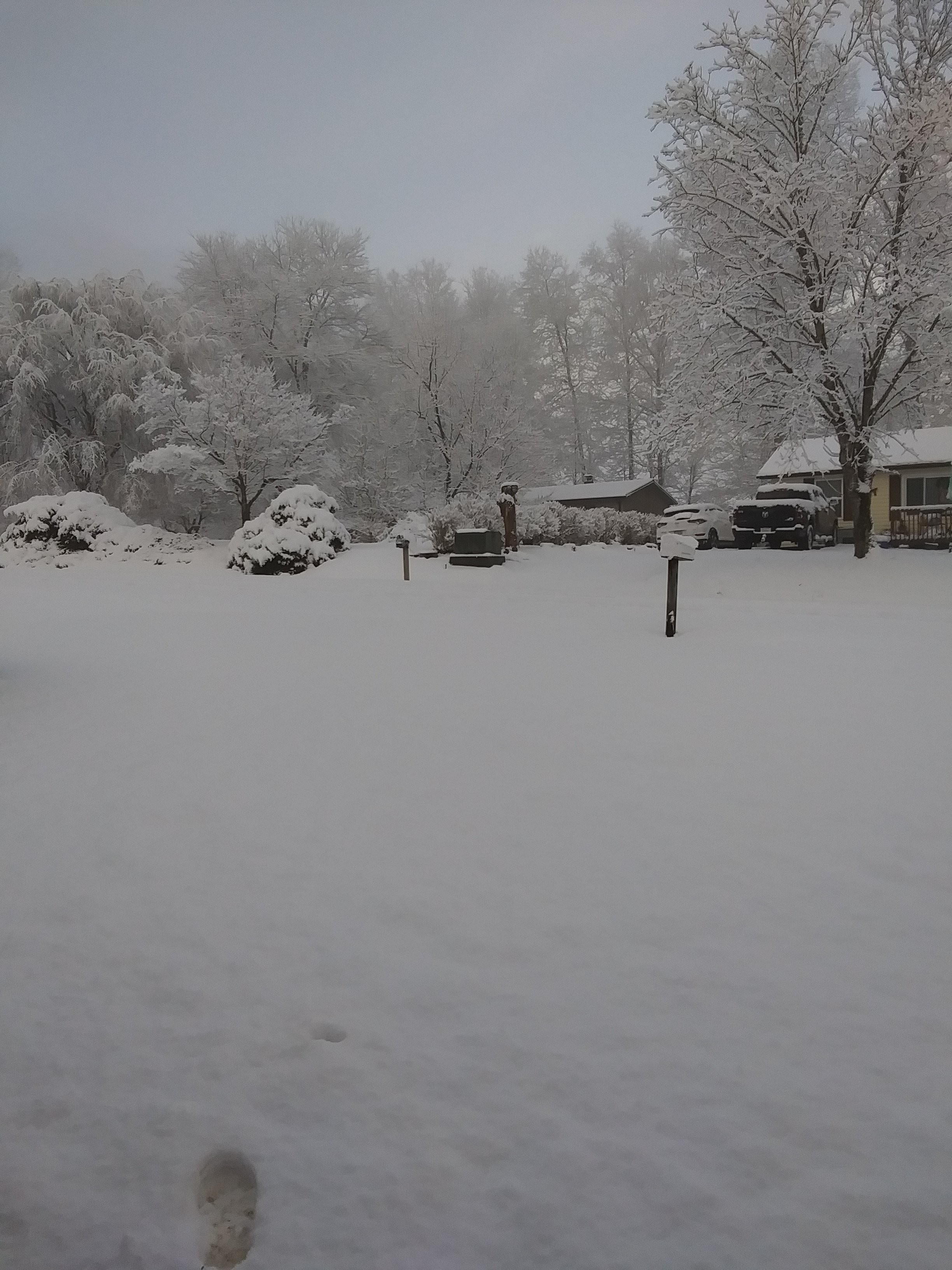
Had a Dusting this Morning. Reports of half to an inch some higher Elevations above 2500ft.
- 255 replies
-
- 2
-

-
Occasional short lasting snow showers here. Temp. 35.
- 255 replies
-
- 2
-

-

2025 Spring/Summer Mountain Thread
Daniel Boone replied to Maggie Valley Steve's topic in Southeastern States
Already have snow showers occurring here down to 1700 ft. Heading that way so you guys should do good tonight. Easily 1-3" above 2500, maybe a bit more in spots. -
Yeah, GFS and Euro been hinting at a big one for the MA the last couple Days.ay have Legs for portions of the Area. 500 MB looks rather favorable then.
-
Did here too.
- 255 replies
-
- 1
-

-
B. Ended with 19.8". Near normal Temperature and Snowfall.
-
As expected. Probably right.
- 255 replies
-
That one was so prominent on Radar that you pretty well knew it was one .
-

2025 Spring/Summer Mountain Thread
Daniel Boone replied to Maggie Valley Steve's topic in Southeastern States
Yep. Model's were showing that for that time period a few days ago along with measurable Snow. Let's see if that comes back. May very well do so. -
Barring any more Snow this Season my final Snowfall Total is 19.9 inches. Ww were on the Southern boundary of the Average to above area . I noticed the National Snow and Ice Database Map has us about half of Actual. I contacted them last Week regarding this via Email and haven't gotten a response. I assume they lumped us in with KTRI and KTYS or the erroneous Pennington gap Site .
- 255 replies
-
- 3
-

-
Dusting here overnight.
- 255 replies
-
- 3
-

-
Great Shot !
-

2024-2025 Fall/Winter Mountain Thread
Daniel Boone replied to Buckethead's topic in Southeastern States
Downsloped royally this side of the Smokies. Just 0.48". -
Yeah. The MJO now appears to stall in 2/3 and what Jeff alluded to above is now showing effect on the Runs. The LR CPC warm 6-10 day Outlook may be in Jeopardy.
- 255 replies
-
Probably be right for once.
-
That's the way it did here near the Cumberland gap. Hit west Tennessee across North Alabama and Georgia and then from the Smokies eastward.
-
Could foul up the prospects of a warm April.
- 255 replies
-
- 4
-

-

-
You can bet KTRI won't have anything remotely close to what you had as far as Snow coverage Days. Be lucky if there's 4 or 5. Same deal in Lee County as well as the "Official" Station near Pennington gap will be erroneously lower in Amounts. I think they must measure on top of the River there, lol. I think Kingsport out done Johnson City and maybe even Bristol irt Snowfall didn't they ? Barring any more, my Seasonal Total is at 19.7 Inches. So, basically the 1990-2010 Normal. I don't agree with the decreasing Averages as often as NWS does changing the " Normals" basically every Year anymore as that's just foolish. The 20-30 Year changes make sense imo.
-
Yeah, looking like a warm rest of March after the 12th or so providing the Strat doesn't initiate Blocking and alter things as you alluded to. Hopefully, we squeeze out one last decent Snow Event during first 10 days of the Month. Bring on the Warmth afterward.
- 255 replies
-
- 1
-

-
Larry's research using Knoxville as the Site showed mixed results but, clearly showed the MJO apparently had great influence. Alot depends on strength of pattern Driver's as well.
-
Yeah, and if there's anything to it at all, it would be further North than depicted unless the Indexes are off base.
-
Looks almost canonical Nina.


