-
Posts
3,536 -
Joined
-
Last visited
Content Type
Profiles
Blogs
Forums
American Weather
Media Demo
Store
Gallery
Everything posted by Daniel Boone
-
Don't think Model's had any Frozen Precip projected for there. So, could be a warning for areas further North and East.
-
Wouldn't be surprised to see more Snow involved in the Equation late Week. Still will likely be flooding this week but, not all looks to be Rain now.
-
Yeah, going to be absolutely brutal !
-
GFS showing several inches of Snow/sleet for here. 7 inches progged for Wise. 2 inch line down to Claiborne County on 18z Run. HRRR usually performs poorly here. Under does Snowfall Amounts here in Lee County 90% of the Time. Has a known warm bias from here down to Johns neck of the Woods.
-
Grounds still saturated up here.
- 51 replies
-
- 2
-

-
MJO Ph 8 augmenting a +PNA. Blocking also appears to be getting situated in a better location as well.
-
Excellent Post and explanation! The great Feb 2015 Pattern featured a solid +NAO BUT, a continual Parade of LP's kept training into SE Canada that in a sense mimicked a standing 50-50. Shows how important that is.
-
Yeah, need that +PNA to pop . Big time business if it does enough. Feb 2015 had a strong +PNA and + NAO.
-
Looks to be weakening. Hopefully that's the case .
-
Looking like a weak to mod Nino. Should be +PDO. Atlantic unknown at this juncture. All in all sounds encouraging.
-
Yeah, the old warm and rain, cold and dry deal. That is a worry. Hopefully won't be the case and we keep an active STJ when the MJO goes into cold Phases. There's a chance of a throwback Monster if that Jet remains active and a decent Ridge pops out west along with strong blocking. Historically, late Feb/March are our favorable Time for Blockbuster Snowfalls.
-
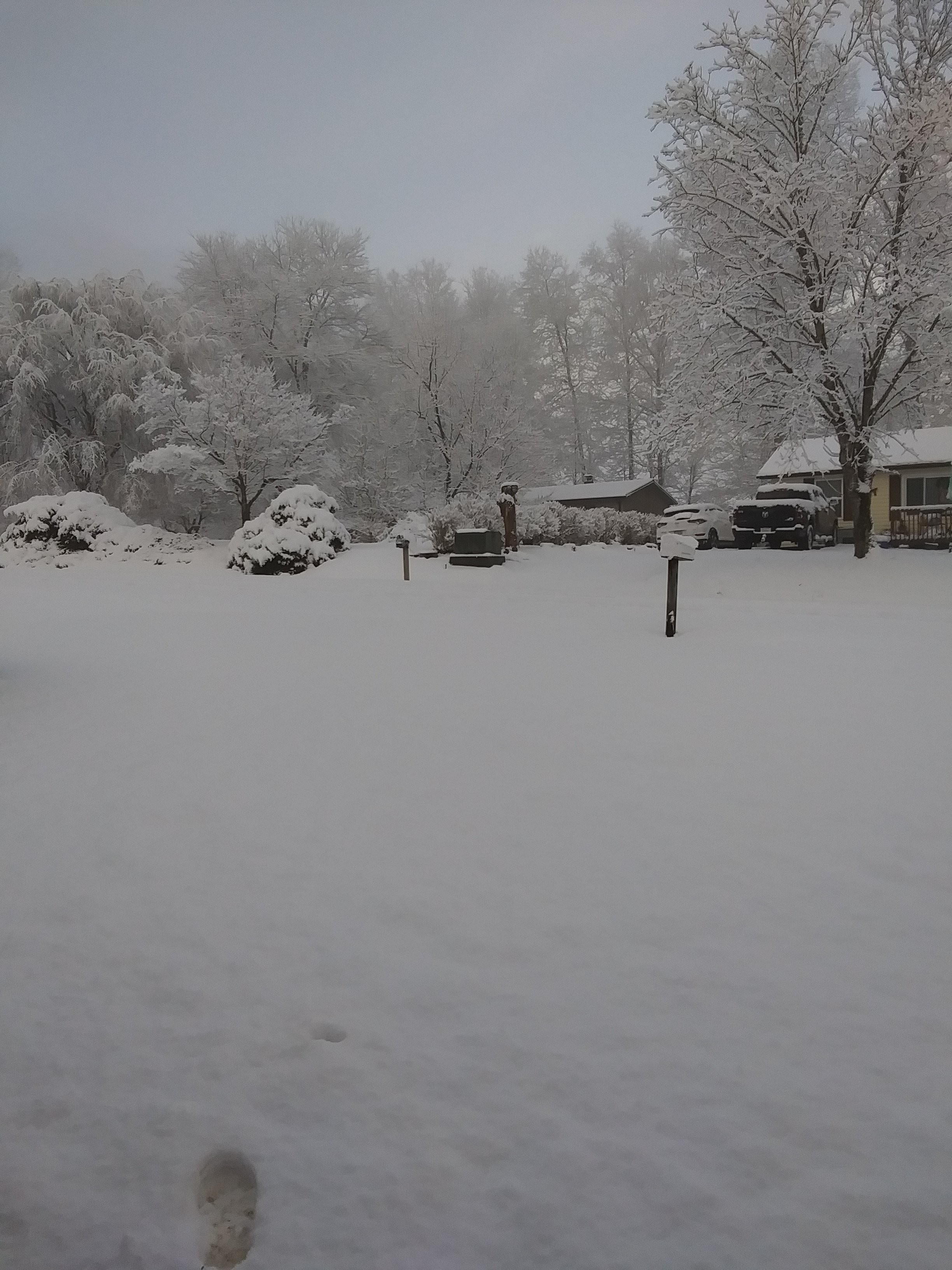
Disaster if that were to happen. Picked up close to an inch here overnight. Ground is full after the 3" last week.
-
Looks reasonable considering all the Storms and Moisture feed coming up. Some areas from the MA to NE are going to be buried when all is said and done.
-
Back to Floodurary.
-
Yeah, mentioned that over in SE Sub yesterday when Larry said Weeklies flipped back warm. Makes sense. Hopefully it gets out of six as soon as possible.
-
The first one is almost guaranteed North. May end as mix. The next and possibly one after bear's watching. A decent Ridge out west or stronger blocking would put us in the sweet spot.
-
Agree 100 %.
-
Still a long ways . Hopefully blocking will strengthen and force it South.
-
This could turn out to be a heartbreaker next week if the Blocking isn't strong enough. We could see heavy Snow just to our North and to the East. Today's guidance continues to waffle but seems to want to hone in on the area across Ky into Wv and across Central Va. Hopefully the further South Track is realized. It's still a Week away so, plenty of time.
-
It didn't in January. Of all the Analogues used for this Winter broken down to the colder one's, from what I can find none had a shift in the PDO from negative to positive like this one. So, as with what happened in January there's a shot at later Feb and March not going as Analogues and Nina Climo indicates. For starter's , we have a formidable STJ of which Nina Climo says there shouldn't be. The MJO is what to watch regarding the greater anomalous outcome for the SE for the most part imo..
-
Continues to waver. Having trouble with ENSO and MJO.
-
Hopefully it's too far north. The AI and CMC are. 12Z GFS was. If this is right...what a slap in the face.
-
Good one man !
-
The sudden change in the PAC SST's I think is the main Culprit. I wondee if any of the Analog Year's had that to happen.?.
-
Ensembles flipped cold in LR. As was discussed last Week, the MJO not stalling in warm phases . Low Amp into COD allows other Drivers to take control of the Bus. The Base - EPO +TNH appears to be headed back. Blocking over the Top is rather odd given the +QBO and has really created Havoc with Forecasters relying on the "should be" resultant Pattern. As alluded to earlier, the PDO is apparently alot of the Reason as it is no longer Negative. The Nina is weak and we have a formidable STJ. It seems some just kept seeing the PDO as it was and the Nina as being Canonical. Lastly, as we all know that's been in the business for awhile, sometimes Patterns don't follow the rules.


