All Activity
- Past hour
-
The word “relatively” is doing some heavy lifting there.
-

May 2024 Discussion - Welcome to Severe Season!!!!
Modfan2 replied to weatherwiz's topic in New England
Meh- rained during my daughter’s soccer game in RI, not fun! At least it wasn’t cold! -

May 2024 Discussion - Welcome to Severe Season!!!!
CoastalWx replied to weatherwiz's topic in New England
That’s a nice town. My friend lives there. Torch tiger used to live there and post about snow. Then something traumatic happened and he wasn’t the same. -
Just a miserable day. Stopped for about an hour after the primary shield went through, but it filled back in and has been raining since 10am. 0.48”
-

May 2024 Discussion - Welcome to Severe Season!!!!
powderfreak replied to weatherwiz's topic in New England
Yeah it’s turned real nice in ALB. 70s and sun. Out with the nieces at the local elementary school.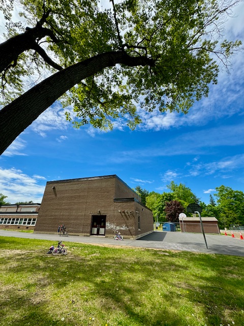
-
Tomorrow is looking pretty interesting on the southern periphery of the mid level wave ejecting into KS. Multiple 12z CAMs with supercells on the nose of the higher theta-e in W OK. Got that mothership look to it with a tornado chance as the LLJ cranks towards sundown.
-

May 2024 Discussion - Welcome to Severe Season!!!!
Damage In Tolland replied to weatherwiz's topic in New England
Especially when it wasn’t modeled or forecast . To go from a scattered shower to a day long soaking rain is enough to just take a bat to every window in the house -

May 2024 Discussion - Welcome to Severe Season!!!!
WxWatcher007 replied to weatherwiz's topic in New England
The downside of being a climatologically beautiful time of year (here at least) is that it can be awfully boring. Nothing remotely interesting. No snow, no tropical, no heat, no dews, no cold, no drought, no fires, no flooding, nothing. Throw in a bunch of rainy days that force people inside and some go stir crazy. -

E PA/NJ/DE Spring 2024 OBS/Discussion
RedSky replied to Hurricane Agnes's topic in Philadelphia Region
Well a rainy day overperformer that was suppose to be scattered showers. So much for the bone thrown. Qtown spring festival went ahead despite a rain date people pissed. -

May 2024 Discussion - Welcome to Severe Season!!!!
tamarack replied to weatherwiz's topic in New England
There's a lot of perception involved. As the local wx hobbyist, I get asked about the forecast. Given verification like today, different reactions: To NWS, "You blew it." To me, "You nailed it." - Today
-

May 2024 Discussion - Welcome to Severe Season!!!!
mreaves replied to weatherwiz's topic in New England
It’s a talking point for a part of the political spectrum that wants to boost privatization of a lot of what the NWS does. Not saying that’s his perspective but that’s where it got its start. -
May 2024 Discussion - Welcome to Severe Season!!!!
CoastalWx replied to weatherwiz's topic in New England
Good day to get some outside stuff done. I was told rain all day. -

E PA/NJ/DE Spring 2024 OBS/Discussion
Birds~69 replied to Hurricane Agnes's topic in Philadelphia Region
Beautiful out there... Low clouds/light rain/63F -
Half way through my event and so far so good. Just sprinkling now.
-

May 2024 Discussion - Welcome to Severe Season!!!!
Typhoon Tip replied to weatherwiz's topic in New England
It's actually perfect to me ... it fits right in timing with my personal pattern. heh. Not a work out day. No yard projects going on. No other plans? I guess if we have to douche out a whole day, this would have been the day I picked. -

May 2024 Discussion - Welcome to Severe Season!!!!
Lava Rock replied to weatherwiz's topic in New England
Wtf. Great day yesterday. Now low clouds , showers and other bs. Same tomorrow? Sent from my SM-G981U1 using Tapatalk -
May 2024 Discussion - Welcome to Severe Season!!!!
powderfreak replied to weatherwiz's topic in New England
I was just about to delete that thinking, I really don’t give a shit either way. Not sure why I decided to fight that battle or stand on that hill . Really don’t care. -
May 2024 Discussion - Welcome to Severe Season!!!!
WxWatcher007 replied to weatherwiz's topic in New England
It was a bad start to the day in Hartford and points east but who cares. That’s the pattern. -
The long range forecast challenge these days is trying to figure out when the stuck decadal background pattern is going to deviate from recent experience. We got a rare cooler summer last year relative to the recent summer composite. But it took the strongest extended Canadian blocking pattern on record during the warm season. Plus we had the developing El Niño summer which have been traditionally cooler. Our only recent winter month to buck the historic warm winter pattern over the last decade was January 2022. That required an amplified MJO 8 and very strong NE PAC block to pull off the only winter month since the 15-16 super El Niño to average around 30° for NYC. But it was short lived and the whole winter averaged out warmer than normal. It was the last real winter month for many of us with great snowstorms east of NYC.


- 901 replies
-
- 1
-

-
- spring
- cool temps
- (and 3 more)
-
Been pouring the past hour here
-
May 2024 Discussion - Welcome to Severe Season!!!!
powderfreak replied to weatherwiz's topic in New England
Pretty impressive ORH is at 1” of rain. That’s a nice deform band. Would be a crusher out of no where in winter for a narrow zone. -
Why can't we get a radar loop like this on February 1st?
-
May 2024 Discussion - Welcome to Severe Season!!!!
powderfreak replied to weatherwiz's topic in New England
The grids looked like they had a chance of showers? Showers possible in any location, showers becoming widespread, CT River Valley may luck out with a primarily dry day sounds like a good call… dry obs and temps near 70F at BDL currently? Showers will become more widespread after 15Z today as PWATs surge to >1.0", aided by a weak 925mb jet of 20-30kt draped over eastern MA. General thinking is showers are possible in any location, but will be more widespread east of the Worcester metro area. In fact, the CT River Valley may "luck out" with a primarily dry day as weak high pressure attempts to nudge in from the southwest. While it will a dreary and rather chilly day, with little to no diurnal swing in temps from current obs (in the 50s and low 60s, west) -
May 2024 Discussion - Welcome to Severe Season!!!!
Typhoon Tip replied to weatherwiz's topic in New England
Hey John .. low grade heat wave potential, Tue-Thur. By that we mean ... flirting with the big nine-O but could miss with upper 88's. I don't see this as being a dewy heat - we'll see on that... Wet antecedence may contribute locally more so than transport with higher soil moisture after recent rains. But, the current machine numbers are likely a shade cool given the over-arcing synoptic look there. -

May 2024 Discussion - Welcome to Severe Season!!!!
FXWX replied to weatherwiz's topic in New England
It's fine in Burlington CT; mild and dim sunshine.