All Activity
- Past hour
-
SWFE.
-

December 2025 regional war/obs/disco thread
WinterWolf replied to Torch Tiger's topic in New England
6 and 8 days away respectively…so lots will morph and change over the next 4-5 days. But at least there’s some potential. -
The pack should be able to absorb that amount, That's a good idea though going out tomorrow, Someone asked on FB if they thought trails would be good to come up and ride this weekend........lol, Stay the hell off of them after this storm and let them freeze back up.
-

December 2025 regional war/obs/disco thread
brooklynwx99 replied to Torch Tiger's topic in New England
the 23rd and 26th are both pretty interesting as vorts come over the top of that C US ridge. could be some WAA thumps -
We're in this pattern for a while I'm afraid. I think after New Years. Maybe middle of January.
-
I'm praying for a 18z GFS scenario, almost all other guidance has us well over 1 inch of QPF. Maybe it'll have a clue. We can survive 0.75, our snow is light and fluffy and will compact and we'd be back in business with another 6-8 inches. Riding from the house tomorrow afternoon for a quick 70 mile loop with some buddies in case Friday goes real sour.
-
This is going to be nothing special really, I mean gust to 40 mph happens here a lot.
-
I remember. Dump trucks were taking snow away
-
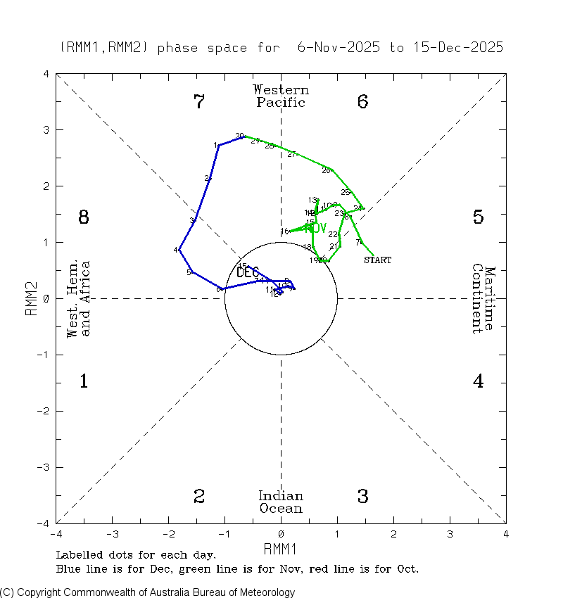
One of my ideas is that La Nina slows down the subtropical jet and enhances the polar jet along the US-Canada border (going into winter months) You can see on this chart the 30-day 250mb jet stream has been much less westerly than normal from Hawaii to San Francisco, which makes lots of sense with this idea. I also think the La Nina leads to greater wind events for Colorado. (Like today) There is definitely an upper level ridge in the averages, over the Pac NW, leading to lower precipitation out West. And a large Greenland block-Labrador Sea block.
-

December 2025 regional war/obs/disco thread
40/70 Benchmark replied to Torch Tiger's topic in New England
Not to me. No interest in rain and overhyped wind gusts of a pedestrian magnitude. -
2" - 4" for Christmas would be solid
-
(002).thumb.png.6e3d9d46bca5fe41aab7a74871dd8af8.png)
Central PA Winter 25/26 Discussion and Obs
ChescoWx replied to MAG5035's topic in Upstate New York/Pennsylvania
Poor Timmy where is that 50 plus degrees you were preaching about for Christmas Day earlier this week? LOL -

Winter 2025-26 Medium/Long Range Discussion
beavis1729 replied to michsnowfreak's topic in Lakes/Ohio Valley
And Midlo VA Snowmaker, who often posted in the mid-Atlantic forum. -
18z GFS is a SER nightmare
-
December 2025 Short/Medium Range Forecast Thread
beavis1729 replied to John1122's topic in Tennessee Valley
Speaking for myself on the chinook discussion, I didn’t intend to imply that it would directly affect us with warmth for a long period of time. The problem, in my mind, is the existence of the chinook pattern itself, even though it has really only caused warmth in MT, CO, WY, NE, SD. This has been going on for several weeks. Places like Denver, Cheyenne, and Rapid City have essentially had no winter so far, and unfortunately that looks to continue for the rest of the month. Joe Bastardi, or perhaps a different met, has a saying about “the angle of the cold”. In a chinook pattern, the angle of the cold is wrong for us, for two reasons. First, even when it does stay cold here, it’s very dry and boring due to NW flow. Second, the warmth is always lurking, because we’re on the far western edge of the cold airmass. So, any minor change in the flow quickly makes it warmer here. That happened last week in my neck of the woods, where a couple of good early season snowfalls melted away because the warmth out west pivoted over here…even though it only lasted for a few days. The point of all this is that, to me, it’s a much better pattern for all of us when there is no chinook at all. I like to see highs come down into the western plains, creating upslope snow in MT/WY/CO, then the cold eventually trickles east and lasts for awhile. Basically, I’m describing a -EPO from a more “on the ground” perspective. I just think the current pattern (starting around 12/5) has been very obnoxious, and unfortunately it looks to continue for 10 more days. Definitely good to see some light at the end of the tunnel, and it can’t come soon enough. -
A trace means essentially at least one snowflake or sleet pellet was observed. That’s it, not measurable. You could have 100 TR events and it wouldn’t equate to measurable snow. So if those maps show 3 TR events for your backyard you still haven’t seen measurable. That being said, looking at those maps I’d say 50% of the state has seen 0.10” which technically is measurable. Someone can correct me, but I don’t think snow is considered measurable unless you have 0.10”, but that’s still a low bar. By no means is anyone thrilled with 0.10” but seeing 50% of the state with “measurable” snow by Christmas hasn’t happened since 2018 and with the BN temps it’s at least has been wintry.
- Yesterday
-
We just need to steal a small and medium event before a decent pattern returns.
-

December 2025 regional war/obs/disco thread
H2Otown_WX replied to Torch Tiger's topic in New England
I'm just messin with you with the confused emoji. I guess time will tell. It doesn't look like an overly promising pattern but perhaps we end up just far enough north or south to benefit. Weird to see shortwaves getting shunted south on the GFS in what's supposed to be some epic warm pattern at least for the central US. -
That seems too much for our region. I really don't even see how plowed piles could last beyond the end of April around here, unless it was exceptionally cool. Otherwise, by May the 70's and higher dewpoints would eat any snow alive.
-

Winter 2025-26 Medium/Long Range Discussion
cyclone77 replied to michsnowfreak's topic in Lakes/Ohio Valley
I think torchartie did it if I remember right. -
Ladies and gentlemen, can I have your attention, please? The results are in and we did it. The MJO went back into phase 8 on Dec 15th, the coldest day of the season to date! Let the celebrations begin! The weenies are gonna party like it’s Feb 1899!


-
i had tomato seedlings sprouting in the garden. it was so hot i wanted to put the ac on with a house full of guests. heck with that. at least we had some winter this year. hope spring eternal.
-
December 2025 regional war/obs/disco thread
WinterWolf replied to Torch Tiger's topic in New England
If you were 60 miles north, or 700 miles south(VA, NC, DE)..you’d have alot of snow the last few weeks. That’s the funny part. -
Tomorrow and Friday will be mild days with highs reaching or exceeding 50° in parts of the region. Friday will be the warmer day with highs in the 50s across much of the region. A soaking rain is likely tomorrow night and Friday. Much of the region could see a general 0.50"-1.50" of rain. Behind the storm, the weekend will turn somewhat cooler. No exceptionally cold or warm weather appears likely for the first week of astronomical winter. The probability that December 2025 will have a maximum monthly temperature below 60° has continued to increase. The last time that happened was in 2019 when the monthly high was 58°. If 2025 has a monthly high below 60°, that would be only the fifth such occurrence since 2000 (2003, 2004, 2005, and 2019 are the cases since 2000). The ENSO Region 1+2 anomaly was -0.3°C and the Region 3.4 anomaly was -0.7°C for the week centered around December 10. For the past six weeks, the ENSO Region 1+2 anomaly has averaged -0.33°C and the ENSO Region 3.4 anomaly has averaged -0.67°C. La Niña conditions will likely continue through at least mid-winter. The SOI was -4.26 today. The preliminary Arctic Oscillation (AO) was +2.532 today. Based on sensitivity analysis applied to the latest guidance, there is an implied near 99% probability that New York City will have a cooler than normal December (1991-2020 normal). December will likely finish with a mean temperature near 34.0° (5.1° below normal). Supplemental Information: The projected mean would be 3.4° below the 1981-2010 normal monthly value.
-
.thumb.png.4150b06c63a21f61052e47a612bf1818.png)
December 2025 regional war/obs/disco thread
HIPPYVALLEY replied to Torch Tiger's topic in New England
The cutter on Friday sucks, but at least the weather will be a little bit interesting that day.