All Activity
- Past hour
-
I've started questioning the accuracy of stations on weather underground, even stations that were formerly reliable seem to have become less so. There's a Davis Vantage Pro 2 in Valley Stream, NY that has been in operation since the 1990s and has closely matched JFKs temperatures but in the last couple of years I've noticed an increasing variance with higher temperatures. In July 2011 it peaked at 102.0 which is fairly close to JFKs peak of 103. Last year in June it peaked at 104.6 when JFK hit 102 on consecutive days. This year it somehow reached 106.8 on one day, 104.7 on another day and 103.2 on the third day when JFKs highs were 102, 100 and 100. Although JFK had three straight days of triple digits to match the record from 1966 I didn't see the peak as being anywhere near as extreme as what 1966 was or even what happened in 2011 or last year for that matter. The Valley Stream weather station even recorded a high of 101.1 on that smoked filled day of July 15th when JFK hit 98. Without the smoke JFK would surely have hit 100 for an unprecedented fourth time but the smoke stopped that from happening and I think the Valley Stream Weather Station was off by a few degrees too. I wonder if these sensors get less accurate with time? As far as records in October and February go it's definitely much easier to set monthly records at that time than it is to do it in July and August. I'm really not sure if a monthly max of 110 to 112 is possible in our area at the first order sites like EWR and LGA. Those records of 108 and 107 will likely stand for a long time, especially LGAs 107 from 1966. There's nothing even close to that there and EWRs 108 from 2011 also stands apart from the rest. I think the planet sets a natural ceiling for how high the extremes can be even as the averages keep going up, the difference between the min and max just becomes less as those values become compressed.
-
Uneventful storm. Looked promising.
-
.thumb.png.3513c28619bf91f0fa8e4004956c33df.png)
2026-2027 Record-breaking El Nino
annunciated replied to Stormchaserchuck1's topic in Weather Forecasting and Discussion
That's good for Jamstec that it can spot that SE US cold anomaly that far out, especially if it does bad in the mid latitudes...and also assuming it verifies cold, lol. -
Augdewst 2026: Summer's Last Stand
radarman replied to Prismshine Productions's topic in New England
I'm down to put a radar on top of Mansfield -

Central PA Summer 2026 Discussion/Obs Thread
canderson replied to Voyager's topic in Upstate New York/Pennsylvania
Nova Scotia (well all the maritime provinces) are amazing places and WELL worth vacation time. Prince Edward Island is one of our annual spots. -
 http://trustpharmaindia.com/# Trust Pharma India
 -

Summer 2026 Med/Long Range Discussion
SchaumburgStormer replied to Brian D's topic in Lakes/Ohio Valley
Looks I will take in January for $100 bob. -
At least we have irrigation again
-
good online mexican pharmacy: Mexi Safe Rx - overseas pharmacy no prescription
-
https://mexisaferx.shop/# mexicanrxpharm
-
i'd be really cautious buying into the big talk regarding tomorrow, until morning that is. there's a subtle wave in the sioux falls region this evening, which will translate east overnight. it appears that we should see t'storm development ahead of this feature, along the diffuse boundary across iowa and n illinois tonight. if this activity becomes too significant or lingers too deep into the morning, the big mega derecho hype will fail hard.
-

Central PA Summer 2026 Discussion/Obs Thread
Blizzard of 93 replied to Voyager's topic in Upstate New York/Pennsylvania
That’s wonderful! I agree, it’s certainly in our top 5 as well. -

Central PA Summer 2026 Discussion/Obs Thread
Itstrainingtime replied to Voyager's topic in Upstate New York/Pennsylvania
0.21" of rain today in Maytown. Thought it would be more. Still doing well in August, however. -
Central PA Summer 2026 Discussion/Obs Thread
Itstrainingtime replied to Voyager's topic in Upstate New York/Pennsylvania
Hey now! My wife and I celebrated our 25th anniversary on that very spot several years ago. We both agreed that Horseshoe Bay was one of the top 5 places we've ever been to. (I'm still partial to Mammoth Lakes ) -
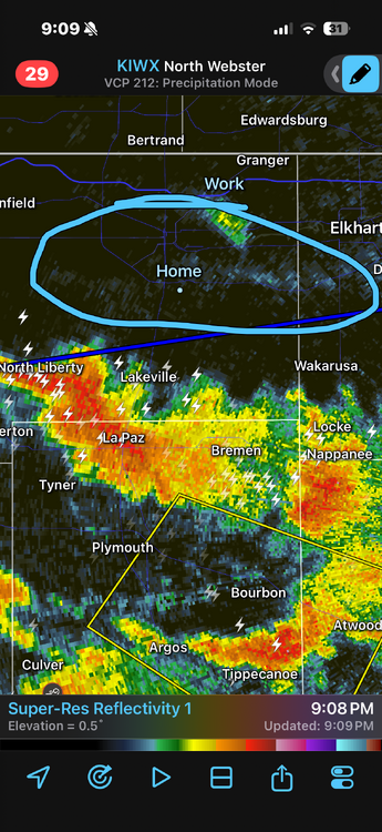
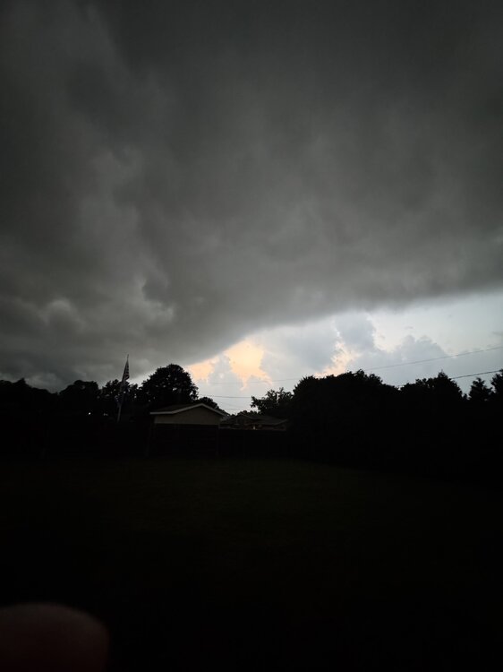
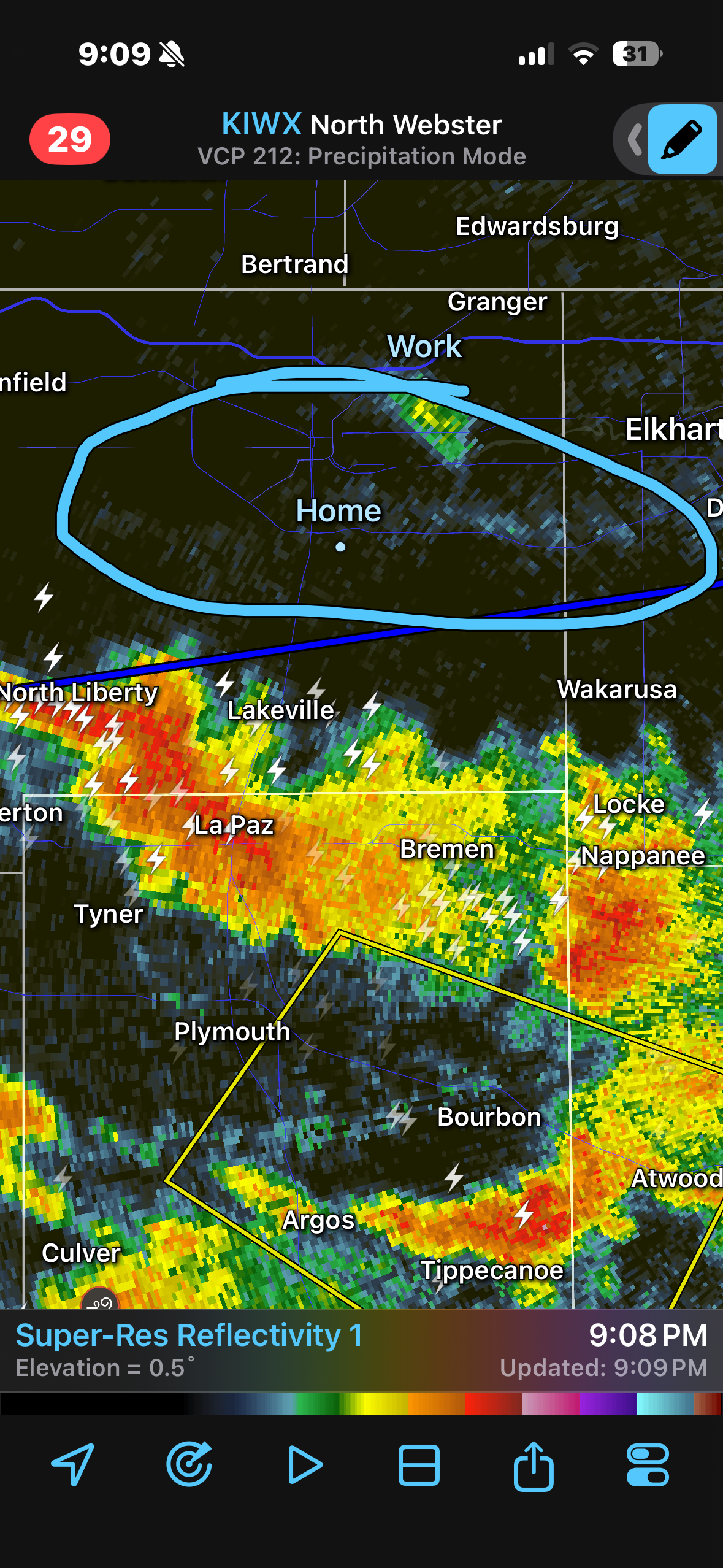
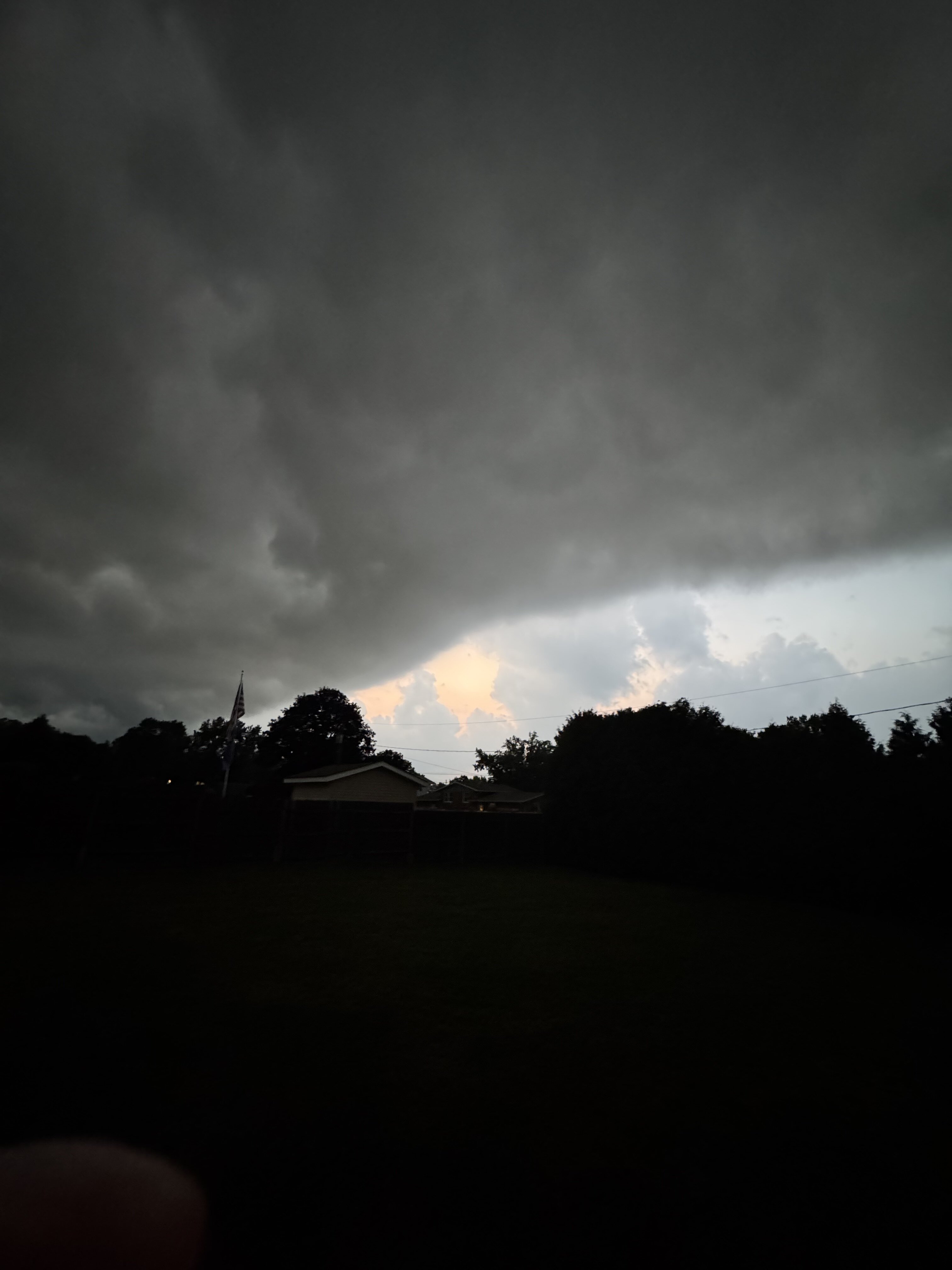
Really cool seeing the outflow boundary from the storms to the south of me on radar and in person. side note: it feels so much nicer out here now lol
-
I'll believe it when I see it after the last two monsoon pushes giving me basically nothing.
- Today
-

Augdewst 2026: Summer's Last Stand
powderfreak replied to Prismshine Productions's topic in New England
You learn to look for the signals in the radar, ha. Years of comparing ground truth to the various layers of echoes. 0.5, 1.5, 2.5, 3.5 degrees all tell a story, but it’s not as much fun as having a great low level scan. It’s part of the mystic though… not as easy to just glance and assume what’s going on at ground level. -
I always thought KMPV would have been a great spot for a radar installation that covered east of the spine and northern NH.
-
That's got 72/73 written all over.
-
already a radar estimated 1-1.25" along an axis just south of the city, in about an hour. feel like we'll start to FFWs issued in another hour or so
-

Augdewst 2026: Summer's Last Stand
WxWatcher007 replied to Prismshine Productions's topic in New England
Glad it works for someone Some pretty good pop ups over WXW2. Great year for storms up that way. -
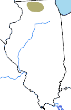
We’re stuck in this devilish parched screw hole. rfd had 3” rain in July, but 20 miles northeast I have less than .5” from 7/1 to present. Every chance just turns into sprinkles at best. The hydrologic and flood products hitting the wire out of LOT here and there are just a gut punch.
-
Look out Fort Wayne. Storms are lined up like a train.
-

Mountain West Discussion
mayjawintastawm replied to mayjawintastawm's topic in Central/Western States
I think I'd believe it more if the QPF were based more on large-scale systems than reliant on atmospheric moisture + localized lift. -
SPC has day 2 marginal slight risk out for tomorrow for east TN Cumberland plateau for 5-15 percent hail https://www.spc.noaa.gov/products/outlook/day2otlk.html SPC also has day 3 marginal risk out with 5 percent probabilistic for northern middle TN and majority east TN it’s slanted a little bit https://www.spc.noaa.gov/products/outlook/day3otlk.html .












.thumb.jpg.ad3a2e31d30aff035044689b311a0540.jpg)