All Activity
- Past hour
-

E PA/NJ/DE Summer 2026 Obs/Discussion
BBasile replied to PhiEaglesfan712's topic in Philadelphia Region
Right in a valley! Blah. Still have 0.92", so can't complain too much.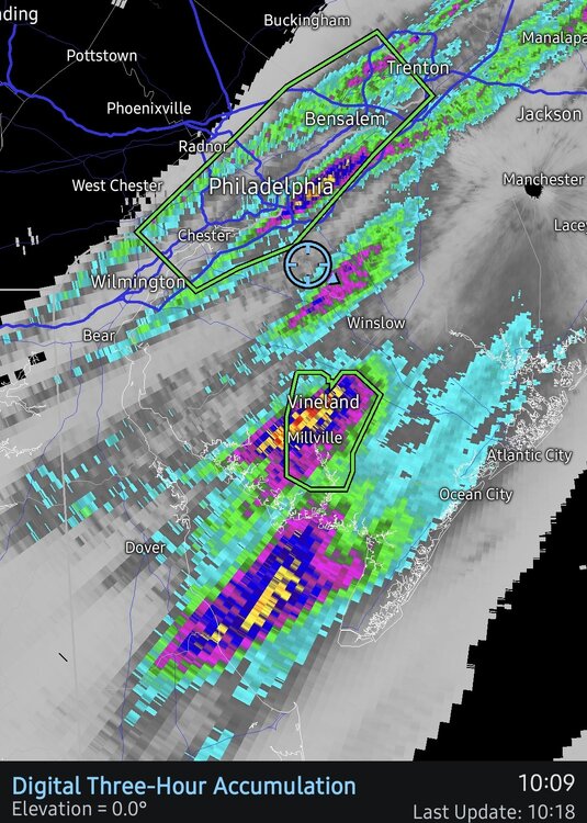
-

2026-2027 Super El Nino
FPizz replied to Stormchaserchuck1's topic in Weather Forecasting and Discussion
I think he was taking people saying how it could become one too seriously, but he also must follow a bunch of weenies because I haven't really seen anyone with a degree say it only some hopeful hobbiests pondering about it. -

2026-2027 Super El Nino
LakePaste25 replied to Stormchaserchuck1's topic in Weather Forecasting and Discussion
PDO correlation +PDO = more troughing in the east. 97-98 would’ve been an extreme torch without the +PDO.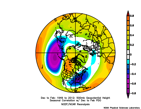
-

2026-2027 Super El Nino
PhiEaglesfan712 replied to Stormchaserchuck1's topic in Weather Forecasting and Discussion
I think somewhere close to neutral PDO is the best scenario for a robust el nino. Strong/super el ninos have busted when the PDO was highly negative or highly positive. A near neutral PDO is the sweet spot (see 1965-66 and 2009-10). -
1.50” so far and more to come. I’m sure we’ll here more drought talk
-
They typically break in our neck of the woods like the way things have been going here lately.
-
Yeah, they snuck one in during 2004. Time Series Summary for Philadelphia Area, PA (ThreadEx) - Jan through Dec Lowest Number 90° days Click column heading to sort ascending, click again to sort descending. 1 1889 5 0 2 1920 6 0 - 1907 6 0 - 1904 6 0 - 1902 6 0 3 1996 7 0 - 1984 7 0 - 1960 7 0 - 1906 7 0 4 1927 8 0 - 1917 8 0 - 1875 8 0 5 2004 9 0 - 1969 9 0 - 1905 9 0 - 1877 9 0
-

Augdewst 2026: Summer's Last Stand
dendrite replied to Prismshine Productions's topic in New England
Scouts crying as their regattas float ashore Block Island. -

Augdewst 2026: Summer's Last Stand
ineedsnow replied to Prismshine Productions's topic in New England
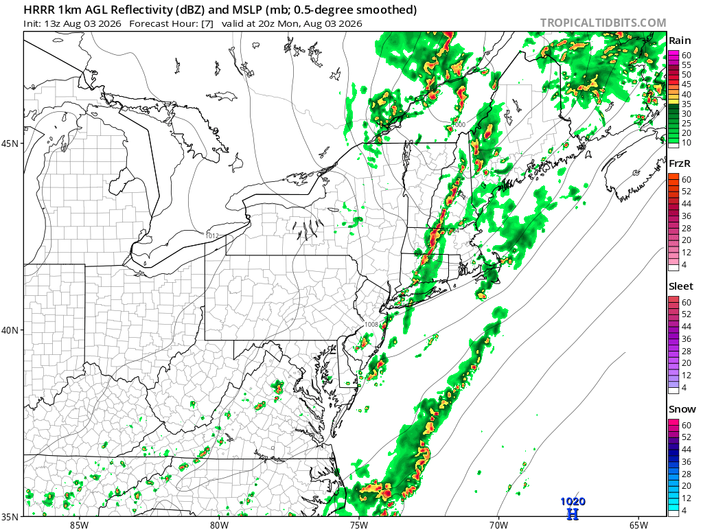
we HRRR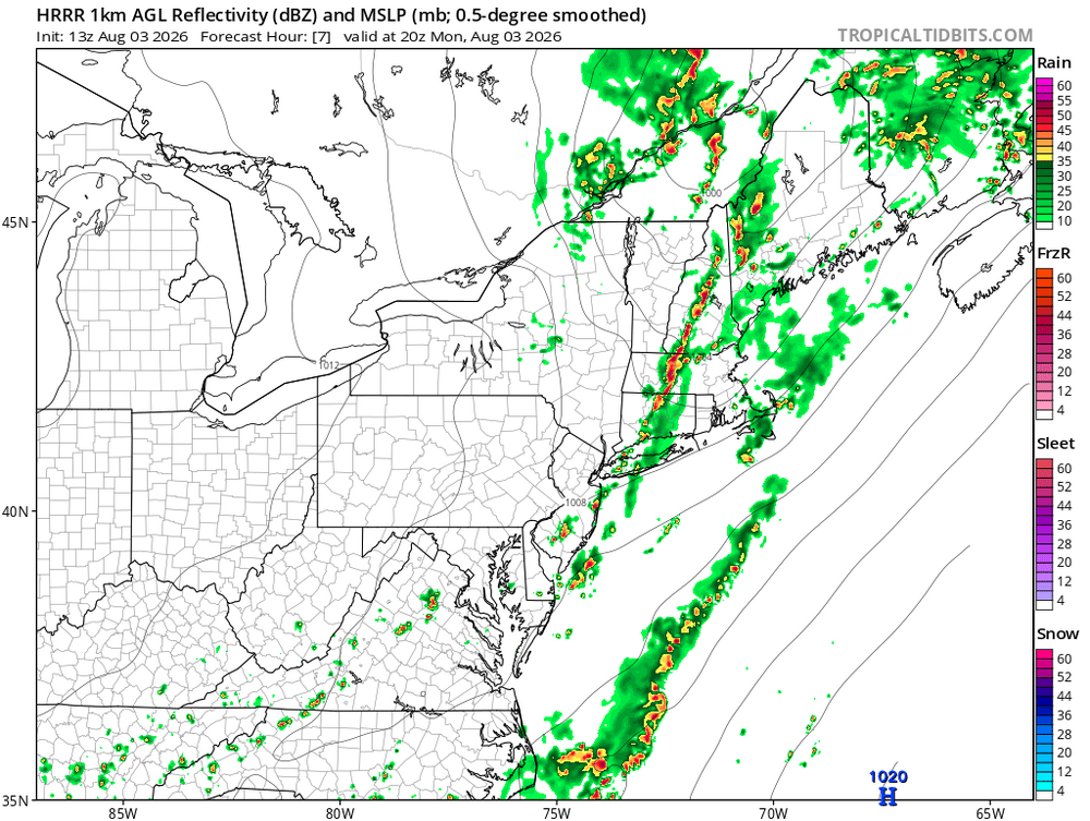
-
How’s that drought working out lol
-
 I highly recommend taking a look at п»їhttps://mexicorxnews.online/# if you are paying out of pocket.
 -
 all this posting about some podunk hellhole where people trade their babies for percocet
 -

Augdewst 2026: Summer's Last Stand
TauntonBlizzard2013 replied to Prismshine Productions's topic in New England
0.09 -

Augdewst 2026: Summer's Last Stand
Damage In Tolland replied to Prismshine Productions's topic in New England
Every merit badge and kerchief in Yawgoog washed away . -

Augdewst 2026: Summer's Last Stand
Sey-Mour Snow replied to Prismshine Productions's topic in New England
Man SECT is getting annihilated already 3.75” with hours of heavy rainfall to go around the Old Saybrook area. -
3.18 so far at my station
-
2026-2027 Super El Nino
LakePaste25 replied to Stormchaserchuck1's topic in Weather Forecasting and Discussion
It interferes by *weakening* the SE trough and making it *even warmer* meanwhile a 97-98 type pattern increases the chances of a big snowstorm via the active southern stream. That winter came very close to multiple KUs that barely missed the cold air phase. 82-83/15-16 produced one and had +PDOs as well. In my several years of tracking weather it has always been preferable to have a +PDO and is backed up by evidence. “-PDO means less el niño so it’s snowier” is such a wrong way to view it. You *always* want a +PDO in the East, and hopefully it flips and we get that! -
-
That’s interesting – so certainly that January storm contributed, but what do you think was the cause of the record overall snow ratio? The ratio of 16.95:1 here at our site wasn’t a record (2020-2021 was 17.25:1), but it was certainly up there – it took second place and was well above the 13.9:1 average. I wonder if ratios were generally high all around NNE this past winter.
-

2026-2027 Super El Nino
SnoSki14 replied to Stormchaserchuck1's topic in Weather Forecasting and Discussion
A +PDO coupled with a super Nino is just 97/98. A -PDO could cause deconstructive interference which makes the pattern much more variable. -

E PA/NJ/DE Summer 2026 Obs/Discussion
MGorse replied to PhiEaglesfan712's topic in Philadelphia Region
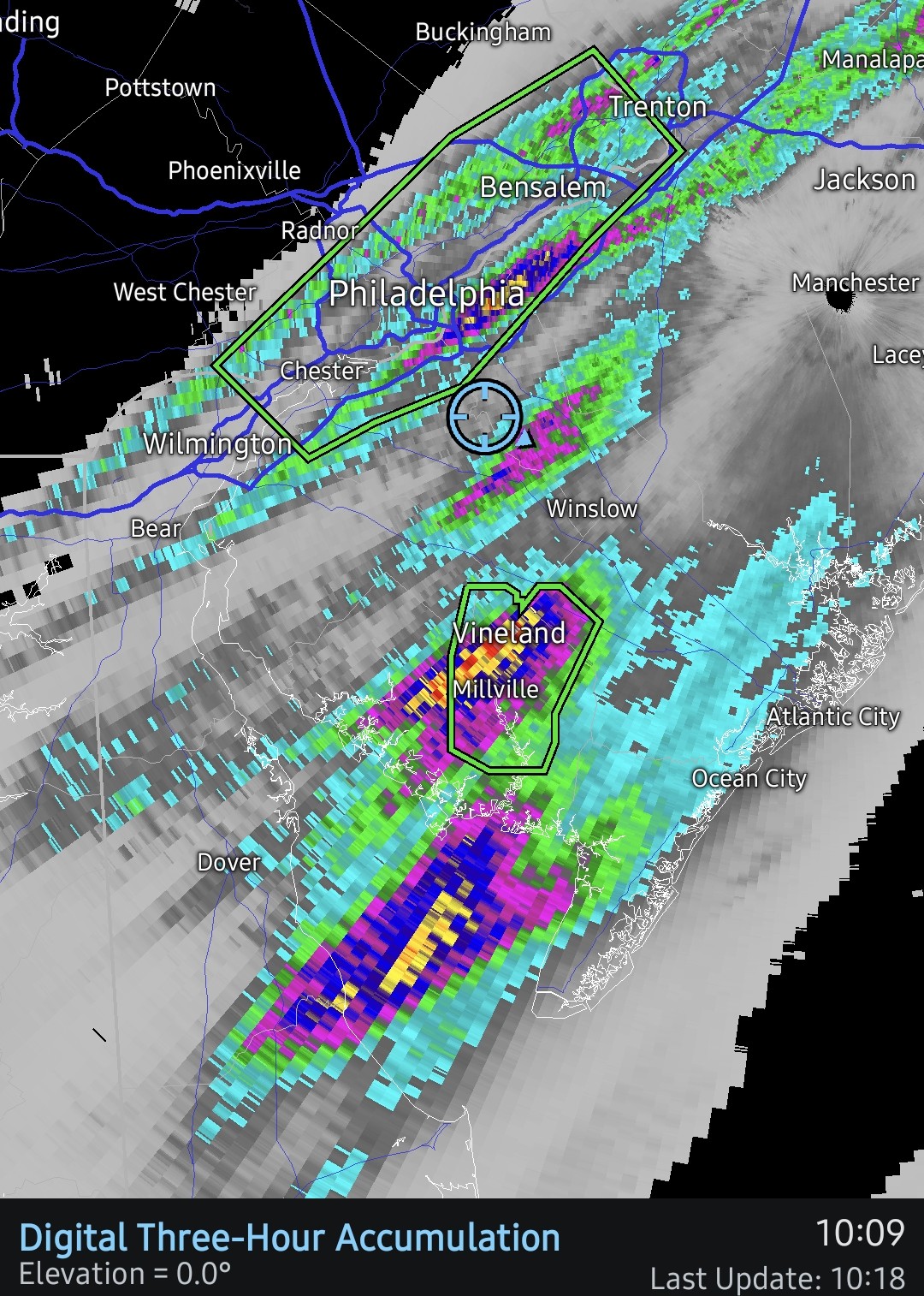
A monsoon here! 3.21 inches and still pouring due to training convection. -

2026-2027 Super El Nino
donsutherland1 replied to Stormchaserchuck1's topic in Weather Forecasting and Discussion
The ongoing super El Niño is approaching historic proportions in ENSO Region 1+2. The anomaly for the week centered around July 30 was +4.1°C. The last time the anomaly was at least as high was the week centered around July 6, 1983 (+4.2°C) as the 1982-83 super El Niño was nearing an end. The record is +4.5°C for the week centered around June 29, 1983. -
Augdewst 2026: Summer's Last Stand
ineedsnow replied to Prismshine Productions's topic in New England
Sun is out now.. lets destabilize a bit -

Augdewst 2026: Summer's Last Stand
CoastalWx replied to Prismshine Productions's topic in New England
It’s a big sash with Steve’s face on a sandbag. -
2.14" so far at CEF.