All Activity
- Past hour
-
-
101.7 on my pws in suburban sprawl hellacape next to a field with corn planted. Easton's meso hit 98, did not look at Easton airport which would be closer to downtown Easton vs the meso which is at the wwtp on the Choptank
-
 Yeah good call. This morning especially felt cooler than I would’ve guessed going into Day 2. Those multiple rounds that moved through last night seemed much more developed than any model had, even short term.
 -
Just noticed Mt. Holly's broad brush EHWarning through 8 p.m. Sat.
-
 Nammy 850 trend right up to the analysis. Mid level temp gradient def tickled southward
-
My weather station hit 99.9 for the high. My OCD is destroying me right now
-
I tried to water the plants but at 10 minutes got dizzy and had to stop and run cold water over my head
-

Central PA Summer 2026 Discussion/Obs Thread
Elim72 replied to Voyager's topic in Upstate New York/Pennsylvania
After this stretch it's safe to say my trout fishing is over until late September. -
 Those were pretty robust MCSs that blew threw. That could've been enough to shove the 850 gradient southwest a bit.
 -

Central PA Summer 2026 Discussion/Obs Thread
Voyager replied to Voyager's topic in Upstate New York/Pennsylvania
Yup. The 4012 is up there on static display. For a bit, they parked the operating Big Boy next to the static one. -
High of 98. Dewpoints tho. Currently 97/83.
-
My PWS at home registered a high of 103.5 F today, around 5:00 PM. When I left work at 5:30, my shaded car thermometer parked on blacktop registered 107 F, in full shade for several hours. The car thermometer had only dropped to 103 F by the end of my 15-minute drive home. Conclusion: It is hot.
-
 So what happened? There is a big difference between 98 and 102 scheduled for my area.
 -
Yeah, we have only really had 6 years reaching 103°+ by July 4th. So the sample size is pretty small. But at least none of the previous years made it above 102° the rest of the summer. Time Series Summary for NEWARK LIBERTY INTL AP, NJ Highest Temperatures June 1st through July 4th Click column heading to sort ascending, click again to sort descending. 1966-07-04 105 0 - 1949-07-04 105 0 2025-07-04 103 0 - 2021-07-04 103 0 - 1911-07-04 103 0 - 1901-07-04 103 0 Maximum temperature after July 4th 1966….100° 1949….102° 2025…101° 2021….99° 1911…..102° 1901…..95°
-
 Thanks! 2 years in a row with hundies.
 -
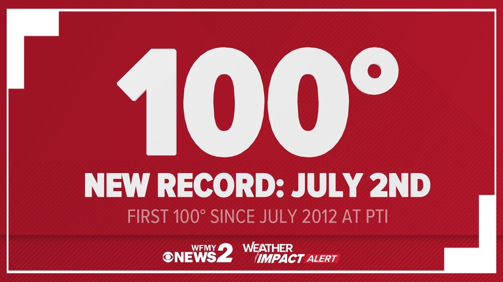
NWS Mount Holly @NWS_MountHolly · 1h 103° has tied the highest temp ever recorded at WFO Mount Holly, going back to 1993. The previous highest temp at our office was 103° back on July 7, 2010.
-
Yeah MHT would've had it in 1966 like CON...lots of missing data in there.
-
My PWS maxed out at 103.8/75.
-
 It missed us south ... no question. Last minute Charlie Brown. I was blaming it on that outflow waste that poured through the area overnight and tho I feel there's some value there, I'm also noticing the rim of the core/tallest heights arrived on the 12z sounding S of the guidance mean leading prior to today. So we were duped a bit ... These are minoring issue and probably don't account for very much ...but the difference between 97 and 102 really isn't that much, either. But it could be enough to have cost us that much of a fake out. I'm wondering if tomorrow goes ahead and stalls at 94 ?
 -
Mount Holly has increased the rainfall probabilities for Saturday eve/night. SPC has highlighted much of our area in a Slight Risk (level 2 out of 5) for severe thunderstorms both Friday and Saturday. As indicated by the PoP forecast above, coverage of storms is anticipated to be relatively low on Friday, mainly isolated to scattered in nature at best. Coverage and organization of storms should be a bit greater on Saturday though. Damaging winds will be the main threat with any thunderstorm development. On Sunday, the severe weather threat may begin to become confined mainly to Delmarva where destabilization is greatest ahead of an approaching cold front. With that being said, the entire area could see showers and a few storms. SPC has highlighted this area with a day 4 15% severe risk.
-
I’m a little bummed from those MOS numbers a couple days ago… wanted to pop mid-90s up here. Been 90-91F.
-
Iets see if that comes to fruition or goes poof like many other rain chances over the last 2 months
-
Technically a record for MHT (but that database is in shambles), but nothing for CON or PWM and tied at AUG. Heat definitely dropping off to "near-record" farther northeast.
-

Central PA Summer 2026 Discussion/Obs Thread
canderson replied to Voyager's topic in Upstate New York/Pennsylvania
Isn’t one in Scranton, stationary? Ive se it in person in Dallas. It’s a massive piece of machinery. -
 How else can he post every model every day and night in winter? He never answers when asked what the job is