All Activity
- Past hour
-
.54” and radar has nothing significant for a few hours at least if ever. Kinda disappointing but expected with recent CAMs down here. Every storm recently has had a precipitation hole here.
-
Lets hope that happens with the snow this winter.
-
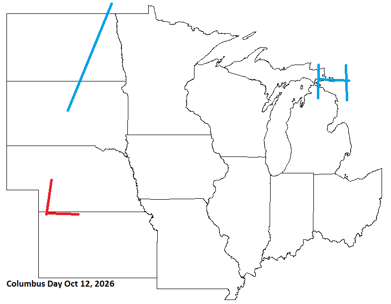
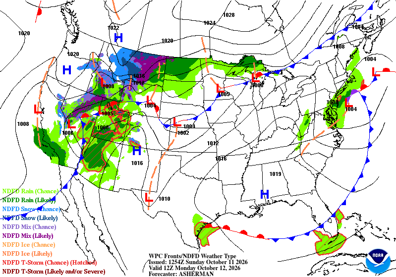
So-so cast for this day. Front lays up across the Lakes bringing wet wx across the N Lakes.
-
Ended up with 6.62 storm total. Thankfully the Catawba never reached flood stage.
-
Woke up to 1.8" and pouring atm. Wow.
-
Just crossed 2 inches of rain in Nelson County .
-
October 11 1909: A snowstorm hits the state, along with temperatures dropping to 7 degrees over northern MN. For Sunday, October 11, 2026 1925 - Widespread early season snows fell in the northeastern U.S., with as much as two feet in New Hampshire and Vermont. The heavy snow blocked roads and cancelled football games. (David Ludlum) 1954 - A deluge of 6.72 inches of rain in 48 hours flooded the Chicago River, causing ten million dollars damage in the Chicago area. (9th-11th) (David Ludlum) (The Weather Channel) 1987 - More than thirty cities in the Upper Midwest reported record low temperatures for the date, including Waterloo IA and Scottsbluff NE where the mercury dipped to 16 degrees. Tropical Storm Floyd brought heavy rain to southern Florida, moisture from Hurricane Ramon produced heavy rain in southern California, and heavy snow blanketed the mountains of New York State and Vermont. (The National Weather Summary) 1988 - Low pressure brought gale force winds to the Great Lakes Region, with snow and sleet reported in some areas. Unseasonably warm weather prevailed in the north central U.S. The mercury hit 84 degrees at Cutbank MT and Worland WY. The temperature at Gunnison CO soared from a morning low of 12 degrees to a high of 66 degrees. (The National Weather Summary) 1989 - Much of the nation enjoyed "Indian Summer" type weather. Nine cities in the central U.S. reported record highs for the date as temperatures warmed into the 80s and 90s. Record highs included 90 degrees at Grand Island NE and 97 degrees at Waco TX. Strong winds along a cold front crossing the Northern High Plains Region gusted to 80 mph at Ames Monument WY during the early morning. (The National Weather Summary) Observances: 11 Sun International Day of the Girl Child 11 Sun National Coming Out Day 11 Sun Black Girl Day Off 11 Sun National Peyronie’s Disease Awareness Day 11 Sun National Spread Joy Day 11 Sun It's My Party Day 11 Sun Southern Food Heritage Day 11 Sun General Pulaski Memorial Day 11 Sun National Sausage Pizza Day
-
 gabapentin 600 mg para que sirve and sudden stop of gabapentin gabapentin mg tablets https://www.skeleton.cz/Framework/Error.aspx?url=https://neuroreliefdirect.com gabapentin another name and https://brueckrachdorf.de/user/algdwmvolm/ gabapentin dosing in renal disease [url=http://www.torremarmores.com/en/gallery2/main.php?g2_view=core.UserAdmin&g2_subView=core.UserLogin&g2_return=https://neuroreliefdirect.com]gabapentin in drug tests[/url] gabapentin approved for neuropathic pain and [url=https://shockingbritain.com/user/ykkvbxkhya/]gabapentin tablets used[/url] gabapentin for vicodin withdrawal
 -
I’m gonna start prepping for Isaias 2032. This storm seems to hunt me down no matter what state I live in
-
Pittsburgh Area Fall 2026
RitualOfTheTrout replied to Ahoff's topic in Upstate New York/Pennsylvania
They missed on the heaviest axis of rain from Isaisas. Getting hit pretty hard right now. I wasn't expecting much .(5 -.75) for the whole thing. With the downsloping, that usually ends up with my yard getting fringed, but instead in a flood warning. -
...I have no idea why people would want to travel on a long holiday weekend. .perhaps Mr Tolland can explain...
-
53 degrees this morning. .32”of rain so far.
-
would be fun
-
0.93" so far and raining steady now.
-

2026-2027 Fall/Winter Mountain Thread
Rainforrest replied to BlueRidgeFolklore's topic in Southeastern States
Ended up with with 5.23”. -
Pffffff.... I'm outta here Dec 1 and won't be back until March 1. Barnes Corner, Tug Hill. I'm going really far NW lol
-
Missed this thread when I posted earlier, I'll stick this here too.
-
Can confirm as a Jersey guy. However our town is actually splendid in fall and the local farms get loaded with city folks coming out for the “fall experience” to the point we avoid going to them, or even driving near them if possible.
-
.34 so far. Will take every drop....
-
We better get used to far NW getting crushed while we get scraps for this winter
-
1.84
-
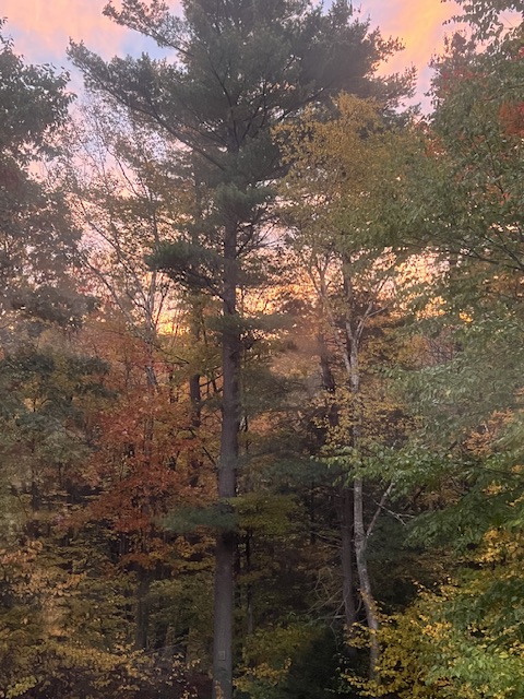
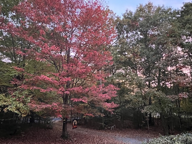
This morning.
-
Just passed 1.5.” Garage ceiling just sprung a leak too. Ugh
-
It just hits different in the mountains. I have plenty of color in my own yard. that being said, some parts of S VT are definitely past peak and it’s almost stick season in areas.
-
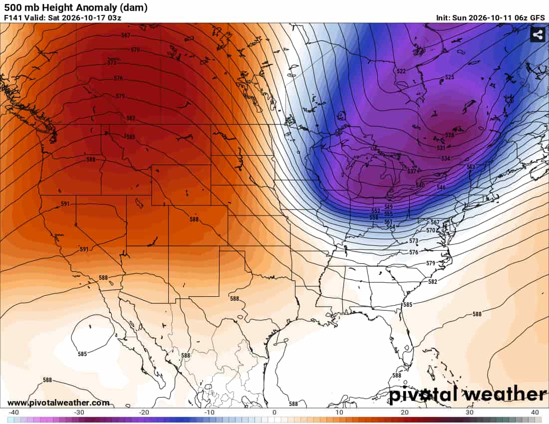
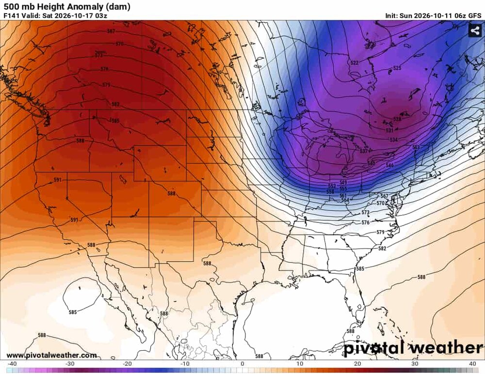
You're seeing a fight between the trough being modeled progressively (Euro) and being held back (GFS). Here's Friday at 2pm on the GFS That trough then drops south and nearly induces a coastal low to form as it tilts negatively. The Euro is on a different planet, as it doesn't ever have that energy detach fully from the more northward low. The Euro AI is sort of in-between, with the low detaching and swinging south but not as intense Still have a long ways to go but we should hopefully see consensus emerge mid-week. If the Euro AI to GFS envelope is right then it'll be time to look at the close range models to see topographic effects and possible places that'll snow.










.thumb.jpg.ad3a2e31d30aff035044689b311a0540.jpg)