All Activity
- Past hour
-
-

Augdewst 2026: Summer's Last Stand
WxWatcher007 replied to Prismshine Productions's topic in New England
Our last major -
Septorcher 2026 Discussion - Endless Summer
WxWatcher007 replied to Damage In Tolland's topic in New England
Not far from getting a name. -
Welcome to the new norm. There is no more September, just August part deux.
-
Yes, a couple of drips here and can see the sun at the same time.
-
A few more showers came through yesterday and deposited 0.29" to bring us to 4.37" for August.
-

Augdewst 2026: Summer's Last Stand
jlauderdal replied to Prismshine Productions's topic in New England
They get caught up in eye candy IR images and crazy model runs. -
 https://quickph.shop/# overseas online pharmacy
 -
Rain did not materialize here AGAIN, only a few hundredths (.64" for the month). Currently 77/70, a warm and humid end met summer.
-

Augdewst 2026: Summer's Last Stand
powderfreak replied to Prismshine Productions's topic in New England
Chamber approved.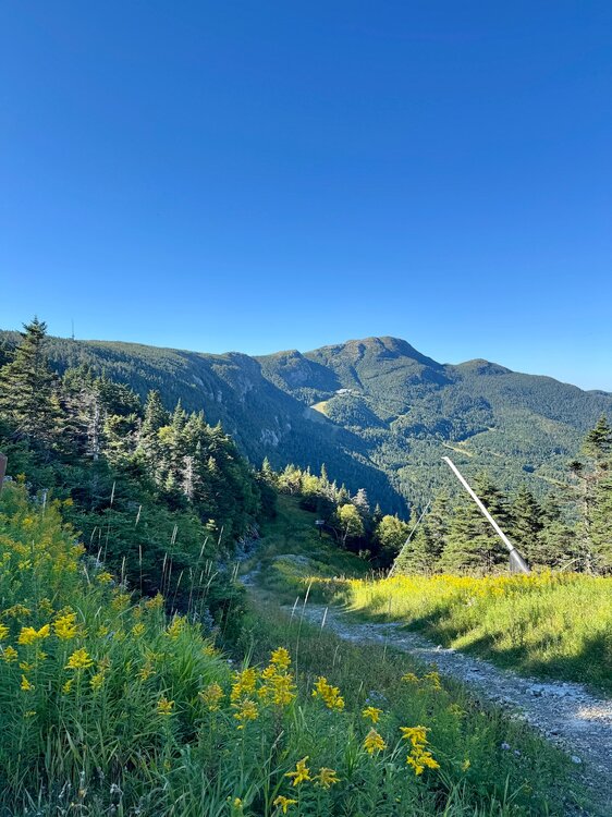
-

Septorcher 2026 Discussion - Endless Summer
ineedsnow replied to Damage In Tolland's topic in New England
this could be interesting for Texas and Louisiana.. looking better and better with 16 or so hours to go.thumb.jpeg.83fcaf877297d3aff9596b42ba3eb76c.jpeg)
-

Fall 2026 Medium/Long Range Pattern Thread
Carvers Gap replied to John1122's topic in Tennessee Valley
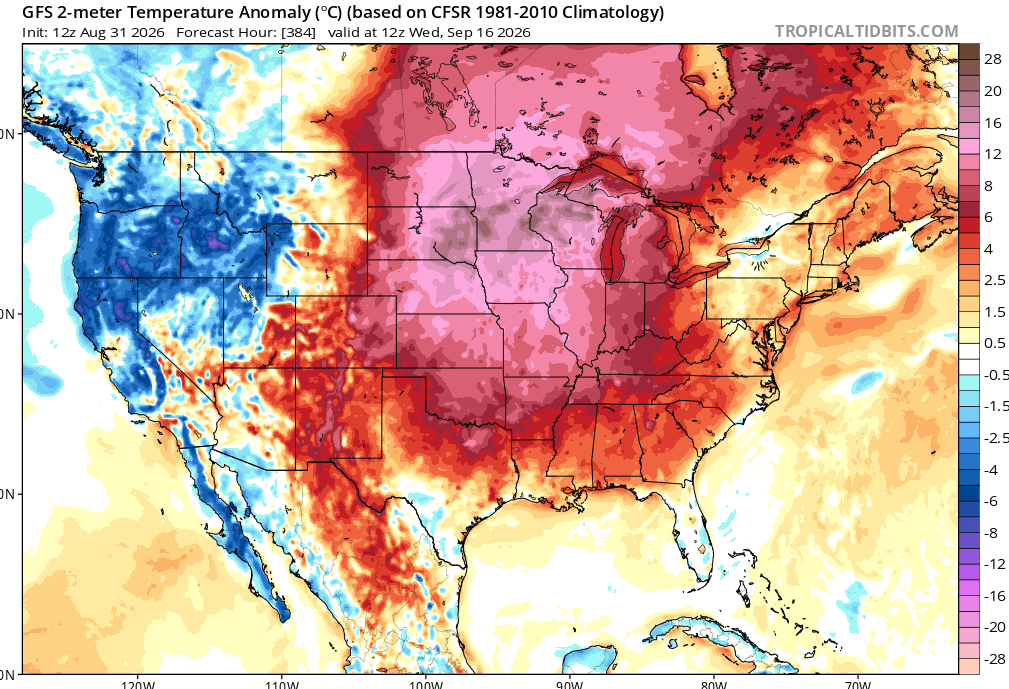
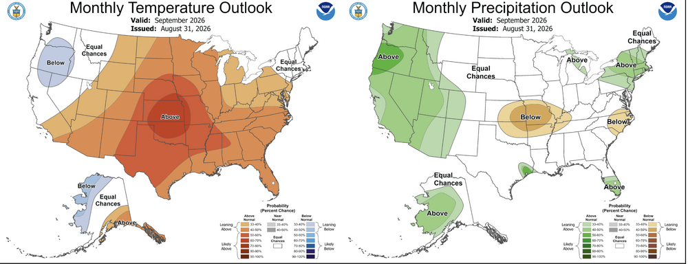
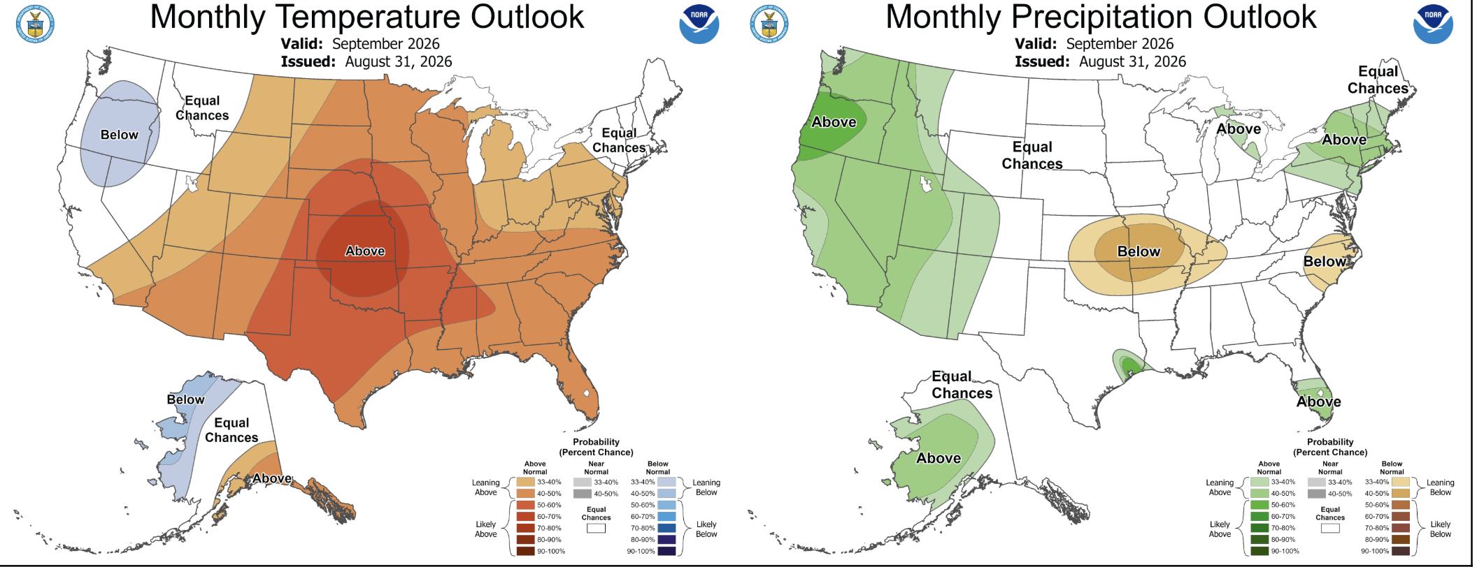
I think this breaks down around the first of October. LR ext models are hinting that we have about four more weeks of this furnace, and then it flips. I hate hot September weather with a white hot passion. -
Thanks, Don. I can tell that Chris Martz has been affecting JB recently. Until recently, I recall JB (like many other mets) used to mention “heat dome” regularly without a sarcastic tone. But this summer whoever he mentions it, he often does so with a sarcastic tone. He doesn’t go out of his way to say it isn’t appropriate. But he clearly sounds like he’s making fun of the term and ant as comfortable using it like in the past.
-
Those showers coming in from PA are weakening as expected. Looks like just some sprinkles for our area.
-
Radar looks pretty intriguing. If it can wrap the deeper convection fully it has a chance to be more than a minimal TS.
- Today
-
As long as we don't get another September 1881 - which, if it happened nowadays, would probably produce a DCA monthly average of 93 / 76.
-
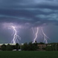
CAMs are struggling with garden variety convection holding temps down today over southern lower MI and just north of the Chicago area. Saw some nice tall lightning bolts from an unusually high cloud base. Some much needed rain. Looking at maps it seems it’s being triggered by moisture at 8-10k feet with origins in the desert SW. The surface humidity is safely capped off. Weird pattern.
-

2026-2027 Record-breaking El Nino
GaWx replied to Stormchaserchuck1's topic in Weather Forecasting and Discussion
Thanks, Don. Just to clarify for the readers in general, in case there’s confusion since I posted about Region 1+2 just four posts above Don’s, the +4.2 C Don posted for 1+2 is based on the traditional anomaly using 30 year base climo. The +3.5 I posted is based on taking into account warming overall mean worldwide tropical ocean temperatures to determine its anomaly. This is essentially a Region 1+2 version of Region 3.4’s RONI (called “relative”), which NOAA has decided to make official even though they continue to also update the traditional versions: https://www.cpc.ncep.noaa.gov/data/indices/rel_wksst9120.txt -
The radar presentation has improved quite a bit in the last few hours. We’ll see if it can develop an inner core quickly. If so, the ceiling rises substantially. 18z hurricane guidance now that there’s recon data on a defined center should be useful.
-
Septorcher 2026 Discussion - Endless Summer
WxWatcher007 replied to Damage In Tolland's topic in New England
It was making real strides a few seasons back and then became absolutely worthless last year. Damn shame. -

2026-2027 Record-breaking El Nino
donsutherland1 replied to Stormchaserchuck1's topic in Weather Forecasting and Discussion
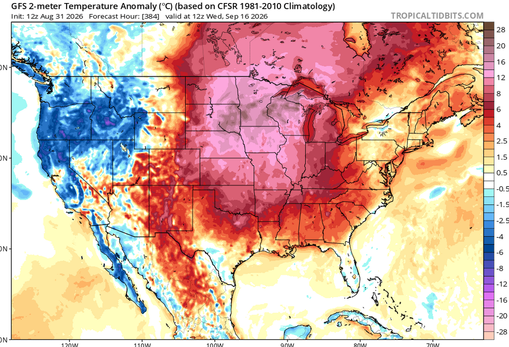
It's winter in the southern hemisphere. The latest weekly value for Region 1+2 is +4.2°C, its highest weekly value, so far. -
-
DP crashed from 72 to 57 and our temp shot up to 91. Hottest day of the month.
-
Yeah the Northern Hemisphere is locked in with this wave count. SER today, SER tomorrow.. well y'all know the rest.
-
My monthly stats: Highest temp: 99 Lowest temp: 68 Highest dew point: 85 Lowest dew point: 68 Rainfall: 7.35" Note: Our highest feels like temp was 129 on the 14th







.jpeg.7237e6ab58d844c2e9763445af52395d.jpeg)