All Activity
- Past hour
-
Looks like a fairly significant fire up there on sat.
-
every day is one closer to next Spring. take
-
Sunset here is 749p…same as May 2. Sucks.
-
Ant, are you going to have a party to celebrate the occasion?
-
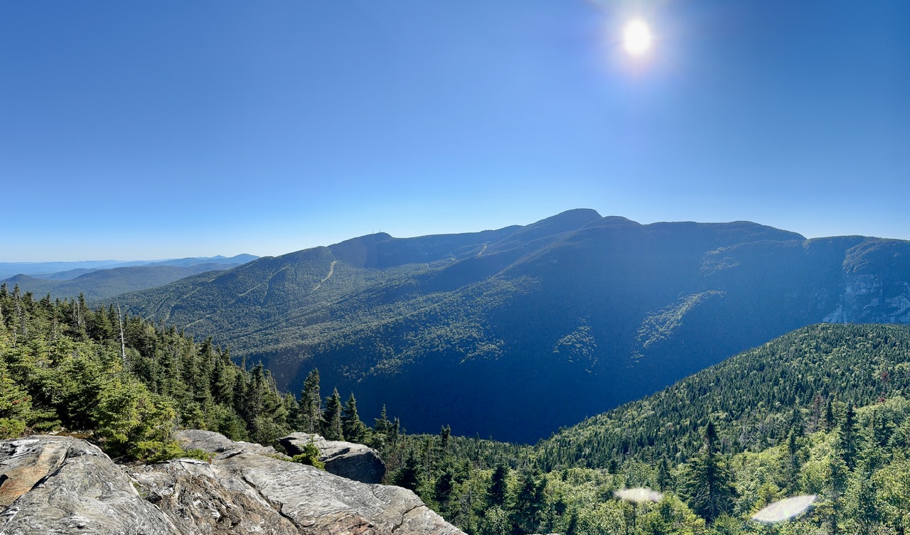
Bluest sky in a long time. A little sad how long the shadows are at 5:15pm though. Feels like this was the scene an hour later up here back in July.

-
 17 90+ days in 2022, was that more than JFK had that year Chris??
 -
looks like we are on our way to a cool AND dry month which is rare around here but especially so during the summer....
-
wow 15 is the same as the number of 90 degree days at JFK, why is the number of 90 degree days increasing more rapidly there when 1) it's further north and 2) it has a south facing coast just like we do down here?
-
Try again
-

Hurricane Erin - 75 mph - 996 mb - WNW @ 18
BarryStantonGBP replied to BarryStantonGBP's topic in Tropical Headquarters
Also why do I keep reading Erin as Eowyn? That slag kept throwing us trampolines in our garden back in January Kept slagging off bus drivers and pilots -
Hurricane Erin - 75 mph - 996 mb - WNW @ 18
BarryStantonGBP replied to BarryStantonGBP's topic in Tropical Headquarters
GCANE S2K Supporter Posts: 11557 Joined: Mon Oct 22, 2007 8:03 am Re: ATL: ERIN - Hurricane - Discussion #421 by GCANE » Fri Aug 15, 2025 1:14 pm 60 hrs out and 75% chance of a Cat4, 35% for Cat5. Peaks around 8AM Monday north of Hispaniola. Right about where the CoC and ULL, driving the poleward outflow channel, are at the same latitude. -
If Erin reaches cat 4 and sustains it for a couple of days or at least on and off, I think that getting close to 30 total ACE just for Erin would be attainable. @mitchnick
-
This article has lots and lots of issues. Namely ones they have exact reading for and ones they assume from some calculation which is why I hate this. They assume an orange is an apple without proving an orange is an apple. Sent from my SM-X210 using Tapatalk
-
TWC/Wunderground's going hog crazy with at least an inch of rain for tomorrow night into Sunday. Barely any of the models are even near that much.
-

Hurricane Erin - 75 mph - 996 mb - WNW @ 18
GaWx replied to BarryStantonGBP's topic in Tropical Headquarters
If Erin reaches cat 4 and sustains it for a couple of days or at least on and off, I think that at least getting close to 30 total ACE would be attainable. Latest from NHC: Hurricane Erin Discussion Number 18 NWS National Hurricane Center Miami FL AL052025 500 PM AST Fri Aug 15 2025 Erin continues to slowly become better organized, with convective banding increasing near the center and a couple of attempts to form an eye. Earlier Air Force Reserve Hurricane Hunter data did not show any increase in winds after the previous advisory, although the central pressure fell to near 993 mb. Satellite intensity estimates are in the 60-75 kt range and are gradually increasing. The initial intensity is held at 65 kt pending the arrival of the next NOAA and Air Force aircraft this evening. The initial motion is 290 to 295 degrees at 15 kt. The subtropical ridge to the north will continue to steer Erin west-northwestward through the weekend, although the motion during the next 36 h or so may be closer to 285 degrees. After that time, encroaching mid-latitude westerly flow is forecast to cause a weakness to develop in the ridge, and this will cause Erin to gradually turn northward with a decrease in forward speed. The guidance remains in fairly good agreement through about 72 hours. After that time, there are still differences in both the forward speed and cross-track spread with regards the turn toward the north. The regional hurricane models again lie along the western edge of the guidance envelope, while the GFS remains on the eastern edge. Overall, though, there again has been little change in the guidance envelope and the new forecast track has only minor adjustments from the previous track. Erin is forecast to be in an environment of light to occasionally moderate northwesterly vertical shear and over sea surface temperatures that warm to 29-30C along the forecast track. However, there is also a large area of mid-level dry and African dust to the north of the hurricane, and the satellite appearance suggests Erin is ingesting tongues of dry air. Although the environment may not be ideal, the regional hurricane models are in excellent agreement that Erin will reach a peak intensity at or above 120 kt during the next 2-4 days. Based on this, the new intensity forecast now calls for a peak intensity of 125 kt in 72 h, and it is possible Erin could get stronger than this. As the hurricane gets stronger, there is a high chance that eyewall replacement cycles will cause fluctuations in intensity that are not included in the current forecast. It is also expected that Erin will become very large and powerful hurricane by the end of the forecast period in the southwestern Atlantic, and the current forecast wind radii at 96-120 h may not be large enough. FORECAST POSITIONS AND MAX WINDS INIT 15/2100Z 18.9N 57.6W 65 KT 75 MPH 12H 16/0600Z 19.6N 59.9W 75 KT 85 MPH 24H 16/1800Z 20.4N 62.7W 90 KT 105 MPH 36H 17/0600Z 21.2N 65.1W 105 KT 120 MPH 48H 17/1800Z 22.3N 67.1W 115 KT 130 MPH 60H 18/0600Z 23.4N 68.5W 120 KT 140 MPH 72H 18/1800Z 24.8N 69.5W 125 KT 145 MPH 96H 19/1800Z 27.9N 70.6W 120 KT 140 MPH 120H 20/1800Z 32.2N 69.7W 115 KT 130 MPH -

Summer 2025 Medium/Long Range Discussion
Spartman replied to Chicago Storm's topic in Lakes/Ohio Valley
12z GFS: A biblical storm near the end of the 12z GFS: -
 88.4 in Muttontown & 87.9 in Syosset for the high.
 -
Early cold shots have absolutely no clue to the following winter......................... This is something that has been demonstrated many times. If anyone wants a clue, come back about Thanksgiving.
-
Above normal number of storms and above normal ACE
-
This weekend looks pretty warm/hot..then coolish for a few days afterwards. I only looked for about 1 minute, so don't make me a driveby victim of the ACATT and AHATT border wars if I triggered any of you. Edit: I removed Monday because that didn't look warm when I glanced back.
-

2025-2026 ENSO
so_whats_happening replied to 40/70 Benchmark's topic in Weather Forecasting and Discussion
Rough guesstimate depending on just how strong the system gets coming up here but we should get close to about 30 ACE on the year which for the date will be just slightly above average, have 6.6 right now. Will be interesting if we get any follow up storms after this one to end out the month. https://tropical.atmos.colostate.edu/Realtime/index.php?loc=northatlantic -
91 here so we flipped flipped today
-

Hurricane Erin - 75 mph - 996 mb - WNW @ 18
Wannabehippie replied to BarryStantonGBP's topic in Tropical Headquarters
Could go pretty high if it gets to sustained cat 4. -
We'll name it Whiteland if we aquire it, lol.