All Activity
- Past hour
-

Central PA Spring 2026 Discussion/Obs Thread
Itstrainingtime replied to Voyager's topic in Upstate New York/Pennsylvania
That storm moved NE out of Centre County and the core probably missed you just to your southeast. My wife and I were sitting outside last night watching the lightning show from over 100 miles away. -
Looks like for the rest of May, the areas that really need the precip should see some improvement.


-

2026-2027 Strong/Super El Nino
MJO812 replied to Stormchaserchuck1's topic in Weather Forecasting and Discussion
Yes but there are also other factors. Either way , this will be a milder winter than last winter. No doubt about that. That could be a good thing since suppression will most likely not be an issue. I will take my chances with that even if its snow to rain events. -
There arguments against it (rising heights, dubious trigger) are legit, but it's tough to ignore that most CAMs have at least a couple of cells. I think that today warrants a 20% PoP.
-
12Z HRRR is very quiet for this afternoon and I just finished watering. Hopefully we will start getting some rain tomorrow.
-
84 ... feels meaner
-
Put it in a textbook for mixing.
-
May 19 1975: Strong winds cause over 2 million dollars of damage across Fridley, Mounds View and New Brighton. For Tuesday, May 19, 2026 1780 - The infamous "dark day" in New England tradition. At noon it was nearly as dark as night. Chickens went to roost, and many persons were fearful of divine wrath. The phenomena was caused by forest fires to the west of New England. (David Ludlum) 1955 - Lake Maloya NM received 11.28 inches of rain in 24 hours to establish a state record. (The Weather Channel) 1975 - Thunderstorms produced golf ball size hail and wind gusts to 110 mph in Minnesota, between Fridley and Hugo. Fifty persons were injured. The hail and high winds destroyed fifty mobile homes, and a dozen aircraft, and also destroyed a third of the Brighton Elementary School. (The Weather Channel) 1987 - Thunderstorms in Texas produced thirteen inches of rain northwest of Lavernia. The heavy rain, along with golf ball size hail, destroyed eighty percent of the crops in the area, while high winds toppled trees. Golf ball size hail was also reported south of Dallas and around San Antonio. Up to eight inches of rain drenched Guadelupe County. (The National Weather Summary) (Storm Data) 1988 - Severe thunderstorms in southwest Texas produced hail as large as tennis balls around Midland, with the hail accumulating up to a foot deep. Showers and thunderstorms in the Middle Atlantic Coast Region produced 3.5 inches of rain near Schuylkill PA. (The National Weather Summary) (Storm Data) 1989 - Thunderstorms developing ahead of a cold front spawned ten tornadoes from Illinois to Tennessee during the afternoon and night. Snow, wind and cold prevailed in the Northern Plateau Region and the Northern Rockies. Dixie, ID, was blanketed with nine inches of snow, winds gusted to 87 mph at Choteau MT, and the temperature at Crater Lake, OR, dipped to 11 degrees. (Storm Data) (The National Weather Summary) 1990 - Thunderstorms deluged Hot Springs AR with thirteen inches of rain in nine hours resulting in a devastating flood. Two waves of water, four to six feet deep, swept down Central Avenue flooding stores and the famous bathhouses on Bathhouse Row. Water released from Lake Hamilton devastated the area between it and Remmel Dam. The 500 foot Carpenter Dam Bridge across Lake Catherine was completely washed away, as were cabins and mobile homes near the lake, many of which flowed right over the top of Remmel Dam. (The National Weather Summary) (Storm Data)
-
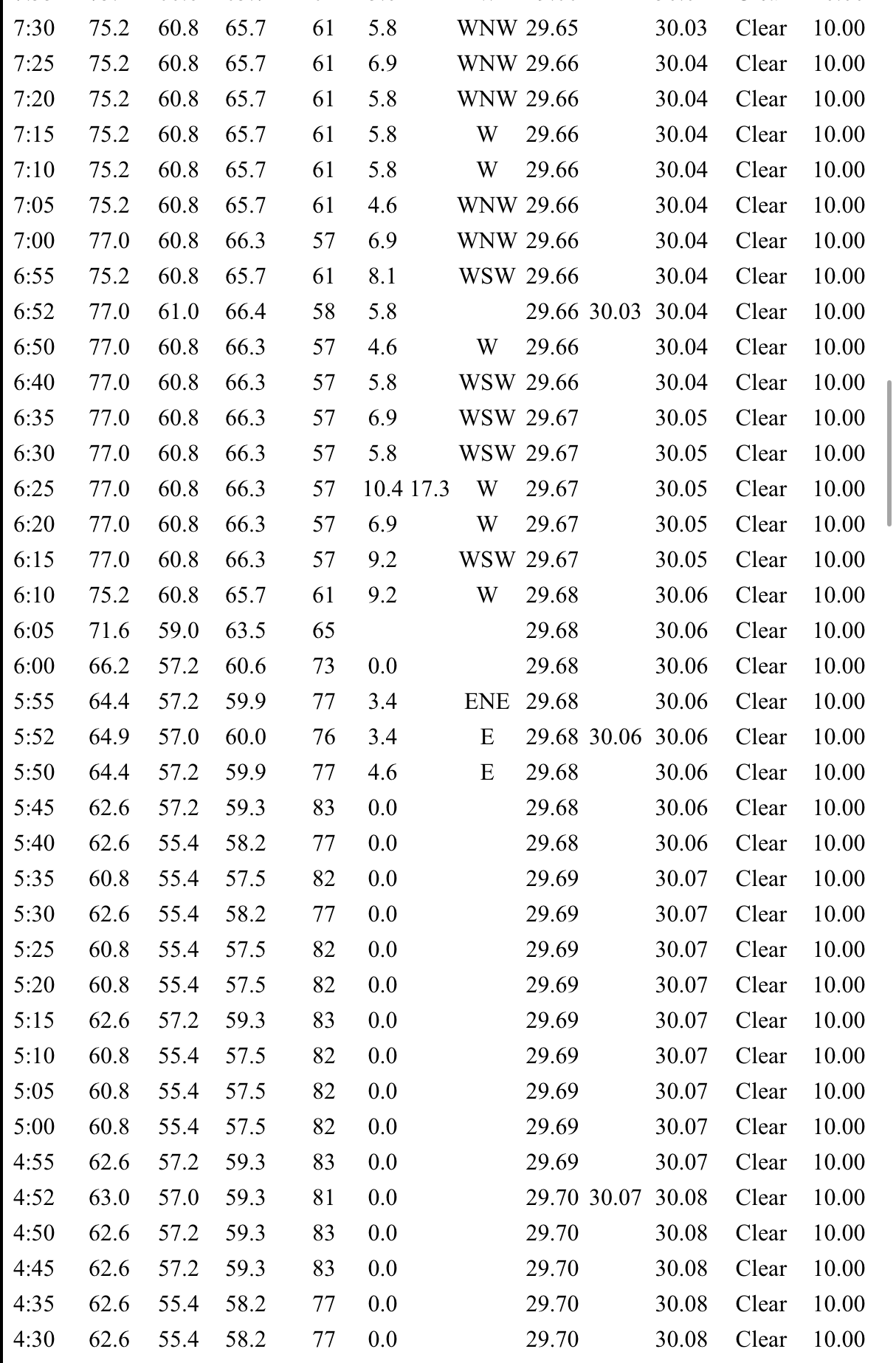
yeah... I wasn't sure. It just looked too much. I couldn't find any surrounding sites that matched that amount. The other aspect ... that FIT site's in a bowl. ...figuratively speaking. It's like the lowest spot around that immediate countryside. Winds being so light at the regional scope doesn't lend to scouring out at 2am but who knows. Having said that ... FIT has always appeared right to me in the past - not a lot of history of odd ball numbers, either. 'c'mon FIT! what are ya doin' to me' Sterling 7 or so miles away, S along 91 around the same time FIT had it's 16 point bump Weather conditions for: EW4324 Sterling, MA (APRSWXNET/CWOP - BOX) Elev: 636.75 ft; Lat/Lon: 42.43967/-71.78417 May 19, 3:00 am 72 63 74 SW 1G4 1017.60 29.38 30.07 0 -- 0.00 0.00 May 19, 2:54 am 72 63 73 SSW 2G6 1017.60 29.38 30.07 0 -- 0.00 0.00 May 19, 2:45 am 72 63 74 SW 2G5 1017.60 29.38 30.07 0 -- 0.00 0.00 May 19, 2:36 am 72 63 74 SSW 2G5 1017.94 29.39 30.08 0 -- 0.00 0.00 May 19, 2:29 am 72 63 73 SW 2G4 1017.94 29.39 30.08 0 -- 0.00 0.00 May 19, 2:18 am 72 63 74 SW 2G8 1018.27 29.40 30.09 0 -- 0.00 0.00 May 19, 2:09 am 72 63 74 SW 1G5 1018.27 29.40 30.09 0 -- 0.00 0.00 May 19, 2:02 am 71 62 74 SSW 1G5 1018.32 29.40 30.09 0 -- 0.00 0.00 May 19, 1:54 am 71 62 74 WSW 1G6 1018.32 29.40 30.09 0 -- 0.00 0.00 May 19, 1:47 am 71 62 74 WSW 1G4 1018.32 29.40 30.09 0 -- 0.00 0.00 May 19, 1:36 am 71 62 74 SW 1G4 1018.32 29.40 30.09 0 -- 0.00 0.00 May 19, 1:29 am 71 62 74 SSW 1G3 1018.32 29.40 30.09 0 -- 0.00 0.00
-
Yes sir they do.
-
In case anyone was wondering, overnight and morning trends look great for NC
-

2026-2027 Strong/Super El Nino
FPizz replied to Stormchaserchuck1's topic in Weather Forecasting and Discussion
also with the 50s for the weekend, the average for the stretch will be slightly above normal. its always hysterics -

Central PA Spring 2026 Discussion/Obs Thread
mahantango#1 replied to Voyager's topic in Upstate New York/Pennsylvania
80 here with a dp of 71. -

Central PA Spring 2026 Discussion/Obs Thread
WmsptWx replied to Voyager's topic in Upstate New York/Pennsylvania
I can honestly live with this, as long as it's not the entire goddamned summer. Thursday Mostly sunny, with a high near 65. East wind around 8 mph. Thursday Night Mostly cloudy, with a low around 45. Friday Showers likely, mainly after 2pm. Mostly cloudy, with a high near 60. Chance of precipitation is 70%. Friday Night Showers. Low around 45. Chance of precipitation is 90%. Saturday Showers. High near 61. Chance of precipitation is 90%. Saturday Night Showers. Low around 52. Chance of precipitation is 80%. Sunday Showers likely and possibly a thunderstorm. Mostly cloudy, with a high near 71. Chance of precipitation is 60%. Sunday Night A chance of showers and thunderstorms. Mostly cloudy, with a low around 54. Chance of precipitation is 40%. Memorial Day A chance of showers and thunderstorms. Mostly cloudy, with a high near 74. Chance of precipitation is 30%. -
You can see how quickly it shot up once that wind went from calm to like 10+ sustained.
-
Central PA Spring 2026 Discussion/Obs Thread
WmsptWx replied to Voyager's topic in Upstate New York/Pennsylvania
I did notice this morning that the local TV met in Altoona disagrees with the weather apps for the weekend, as the lowest she had Saturday going was 60-61. My Google App currently shows 49. -
heh... we did not... I was 61 until twilight glow ... 81 now
-
0.79" of rain from shwrs/stms last night. 0.98" for a 2 day total. That helps, but still sucking hind teet for May as we have only a 1/3 of the 3.30" avg. 6+" in April was great for catching up from the drier previous months. Update: Fire 100% contained. Looks like a power line started the fire. Section of Hwy 61 that was closed will be opened again later today approx 8 pm.
-

2026-2027 Strong/Super El Nino
GaWx replied to Stormchaserchuck1's topic in Weather Forecasting and Discussion
Evidently based on pro mets I follow, having relatively cooler SST anomalies near Australia compared to warmer anomalies to the east of there will be crucial. For 2023, the models, which earlier had the nice E US trough/Aleutian low that we were salivating over, were then erroneously forecasting cooler near Australia, which is pretty typical of El Niño. This strong El Niño is great news for the really bad drought the SE has been enduring. -
Friday and Saturday seem tough. Maybe Sunday and/or Monday? Curious how the fields take the water after how dry it’s been. If were rained out I’m going to hopefully go see the Mandalorian movie lol
-
We need the robots to pull through for a best case scenario this weekend.
-
No storms and a rainy 3 day weekend in the 40’s . Sounds perfect for our regions run of luck last 5-6 years
-

2026-2027 Strong/Super El Nino
40/70 Benchmark replied to Stormchaserchuck1's topic in Weather Forecasting and Discussion
Either way it will be mild, but we would at least have a shot at a decent stretch if you're right. So the +IOD wasn't that strong in 2015 and 2023?? -
Mine and the 3 others on my road all were between 94-95.
-
Looks legit to me. They mixed out. There were random periods of overnight mixing across the region…like at MPV.