All Activity
- Past hour
-
Has anyone here read this? If so, any thoughts? https://theethicalskeptic.com/2020/02/16/the-climate-change-alternative-we-ignore-to-our-peril/?utm_source=substack&utm_medium=email Before anyone says he denies AGW, “I am a proponent of addressing anthropogenic global warming as a first priority for mankind. I first adopted the ‘Venus – runaway greenhouse effect’ paradigm (applied to Earth’s climate) after reading Carl Sagan’s groundbreaking work outlined in his book, The Cosmic Connection. Since that time, I’ve worked more extensively than most inside efforts targeting mitigation of volatile organic compounds, alkanes, methane, and carbon monoxide/dioxide contribution on the part of mankind.” and “I have shared in the grave concern over human contribution to the stark rise in global temperatures now obviously underway.”
- Today
-
maybe not "much" heat, but we'll definitely have some hot days week 2. Won't go into weaklies deets as it's a fools errand, but they don't look cool and wet
-
Yep, when the PP came it did not look good. Amazing a team can win 14 straight OT games.
- 16 replies
-
- 1
-

-

Central Pa. Summer 2024
Itstrainingtime replied to mahantango#1's topic in Upstate New York/Pennsylvania
What a sick stat - a combination of a very talented team along with some luck thrown in. Fortunate to win that one...Cleveland really carried the play in the 3rd period and the first part of OT.- 16 replies
-
Jonesy56 started following Central Pa. Summer 2024
-
Happy meteorological summer and start to hurricane season
-
Dube! Bears win their 14th straight OT game.
- 16 replies
-
- 2
-

-
The official report said 56.6, so it’s a tie for warmest.
-
Not seeing much heat the next 30 days. Wish we had this pattern in 6 months ago! Cool and wet for at least the next 3 weeks by the looks of it...
-

2024 Atlantic Hurricane Season
Prospero replied to Stormchaserchuck1's topic in Tropical Headquarters
Not tonight. This may have been the first wishcast of the 2024 season. Just we need the rain so bad around here in Tampa Bay. Sometimes a tropical system will just "pop" up in a few hours surprising everybody in the Gulf. But not tonight. -
CSU Forecast https://tropical.colostate.edu/Forecast/2024-04-pressrelease.pdf
-
Since it's quiet in here... https://www.noaa.gov/news-release/noaa-predicts-above-normal-2024-atlantic-hurricane-season
-
Central Pa. Summer 2024
Blizzard of 93 replied to mahantango#1's topic in Upstate New York/Pennsylvania
Agreed…he nailed it!- 16 replies
-
Central Pa. Summer 2024
Blizzard of 93 replied to mahantango#1's topic in Upstate New York/Pennsylvania
This is amazing…I added it to my favorites. Time to root for low dew points & occasional breaks in the heat!- 16 replies
-
- 1
-

-
Central Pa. Summer 2024
Blizzard of 93 replied to mahantango#1's topic in Upstate New York/Pennsylvania
Very well done Sir! Great thread starter post!- 16 replies
-
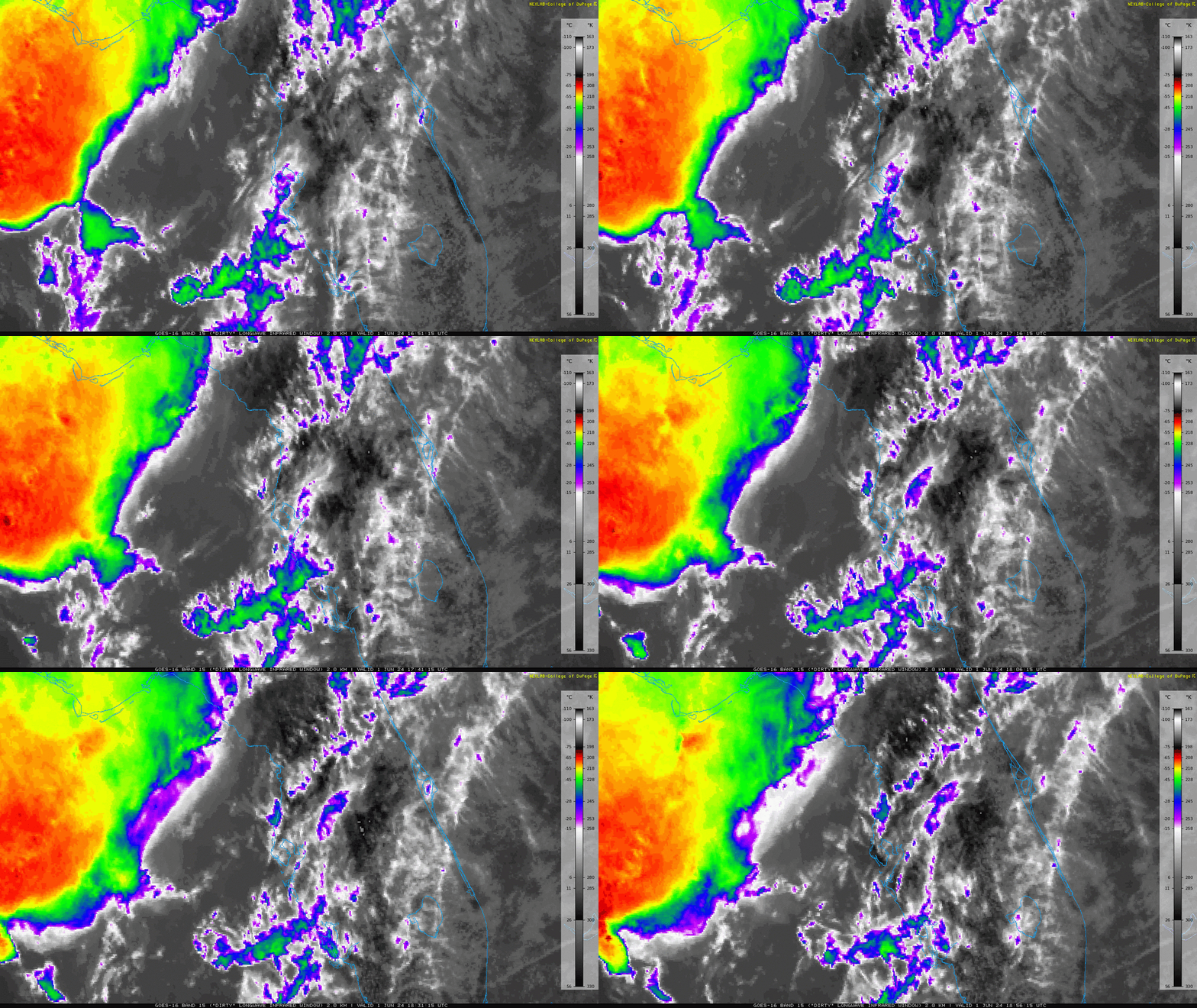
Anyone have thoughts on cloud cover in litchfield ct tonight? I want to go out and take pictures but not sure if the clouds out to the west will dry up. It looks like they are on satellite. Just don’t want to lug all the gear out if it’s not gonna be worth it.
-
84 today at home. beautiful afternoon for the Mets game. Nice ceremony for strawberry
-

Central Pa. Summer 2024
Itstrainingtime replied to mahantango#1's topic in Upstate New York/Pennsylvania
@mahantango#1 probably the best introduction to a new thread. Well done!- 16 replies
-
Yep. My saying is 'a day above 80 is a waste', NO WAY I'd live in a place like that. It is bad enough here 6-7 months of the year. EDIT- the 77.4 high today makes 5 straight 'good' days
-

Central Pa. Summer 2024
Itstrainingtime replied to mahantango#1's topic in Upstate New York/Pennsylvania
High today was 82. Starting to see a few brown areas around the area.- 16 replies
-
First day of met summer and I just saw my first lightning bug of the season. Topped out at 84F today.
-
Records: Highs: EWR: 95 (2011) NYC: 96 (1895) LGA: 94 (1987) JFK: 93 (1989) Lows: EWR: 42 (1938) NYC: 44 (1945) LGA: 46 (1945) JFK: 45 (1967) Historical: 1812 - Apple trees at New Haven CT did not blossom until the first of June, the latest such occurrence during the period beginning in 1794. Snow whitened the ground in Cleveland OH and Rochester NY. (David Ludlum) 1903 - A strong tornado just 50 to 75 yards in width killed many persons around the Gainesville GA Cotton Mill. The tornado strengthened and widened near the end of its four mile path, killing 40 persons at New Holland GA. A total of 104 persons were killed in the tornado. (The Weather Channel) 1903: During the early afternoon, one of the most destructive tornadoes in the history of Georgia up to this time, struck the outskirts of Gainesville. The track of the storm was about four miles in length and varied between 100 to 200 feet in width. The tornado touched down about one mile southwest of Gainesville, striking a large cotton mill at 12:45 pm, Eastern Time, just 10 minutes after 750 employees filed into the great structure from dinner. On the top floor of the mill were employed 250 children, and it was here that the greatest loss of life occurred. 1919: Snowfall of almost a half-inch fell at Denver, Colorado. This storm produced their greatest 24-hour snowfall recorded in June. Two temperature records were set: The low temperature of 32 degrees was a record low for the date, and the high of only 40 degrees was a record low maximum. Cheyenne, Wyoming recorded 1.6 inches of snow, which is one of only six times that at least one inch of snow has fallen at Cheyenne in June. 1934: June started off on a warm note as high temperatures surpassed the century mark across parts of the Midwest. Several locations tied or set a record high temperatures for June including: Rockford, IL: 106°, Mather, WI: 105°, Hatfield, WI: 103°, Mondovi, WI: 102°, Chicago, IL: 102° and Grand Rapids, MI tied their June record high with 102°. 1980 - A man from Falmouth ME was struck by lightning restoring his eyesight. The man had been blind and partially deaf since a truck accident in 1971. (The Weather Channel) 1987 - Severe thunderstorms in the Upper Mississippi Valley and the Lower Ohio Valley produced wind gusts to 81 mph at Albert Lea Airport in southern Minnesota, and baseball size hail around Otterbein IN, Sarona WI, and Danville IL. Two inches of hail totally destroyed 5000 acres of corn and soybean north of Danville. (The National Weather Summary) (Storm Data) 1988 - Thunderstorms drenched north central Texas with torrential rains, with more than 14 inches reported in Commanche County. Afternoon thunderstorm in New Jersey and Pennsylvania produced wind gusts to 70 mph. (The National Weather Summary) (Storm Data) 1989 - Thunderstorms developing during the afternoon over the Southern Plains Region produced severe weather through the evening and the night, spawning nine tornadoes. Thunderstorms produced wind gusts to 80 mph at Alpine TX, and baseball size hail at Balmorhea, TX, Fluvanna, TX, and in Borden County, TX. (Storm Data) (The National Weather Summary) 1999: A tornado with an intermittent damage path destroyed 200 homes, businesses, and other buildings in the southern portion of St. James, Missouri. Of these, 33 homes were destroyed along with the St. James Golf Course clubhouse and two Missouri Department of Transportation buildings. The tornado then moved east, south of the downtown St. James area and intensified. F2 to F3 damage occurred with a 200 to 300-yard damage path. Several homes and farm buildings were severely damaged or destroyed. Further north, severe thunderstorms produced many tornadoes around central Illinois. The most intense tornado touched down in Montgomery County south of Farmersville and moved into southwest Christian County. One person was killed when a semi-trailer overturned at a rest area on I-55. Across eastern parts of the state, high winds up to 70 mph caused damage to trees, power lines, and some buildings. The Mattoon area also reported flooding from these storms, producing $3 million dollars in damage.
-
Today we were at Arlington National Cemetery burying my wife’s grandmother. I won’t dox myself but our grandparents and great grandparent are about 30 yards from Abner in Section 1 so it’s always nice saying hi to him.
- 16 replies
-
- 1
-

-
Highs: EWR: 87 LGA: 85 ACY: 85 BLM: 84 PHL: 84 TEB: 84 New Brnswck: 83 ISP: 83 NYC: 83 JFK: 82 TTN: 82
-
Nice near 80 day here today (and yesterday and probably tomorrow). Heading to my grandson’s graduation midweek-should be 100+ 50 miles east of SFO. Quick trip to be able to get back in time to teach my class Friday afternoon.


