All Activity
- Past hour
-

2026-2027 Super El Nino
Stormchaserchuck1 replied to Stormchaserchuck1's topic in Weather Forecasting and Discussion
Cold 500mb lows spinning out over the Arctic circle for the next 15 days. In my opinion, until we break the Arctic Ice melt record from 2012, we are going to be in decadal -PDO. July has also been super wet here in this post-2017 pattern. It will be very interesting to see what the Arctic pattern is next Summer after the Super Nino warms global temps, and the Solar Cycle wanes. -

2026-2027 Super El Nino
BuffaloWeather replied to Stormchaserchuck1's topic in Weather Forecasting and Discussion
https://x.com/webberweather/status/2078660898269573511?s=20 -
 We’ve cornered the market on missing good rain by a few miles here
 -

Central PA Summer 2026 Discussion/Obs Thread
canderson replied to Voyager's topic in Upstate New York/Pennsylvania
Wind maybe been just N/WN of the city proper - hope it comes back soon! -

2026-2027 Super El Nino
Jebman replied to Stormchaserchuck1's topic in Weather Forecasting and Discussion
Hell Yeah! Let's go set us a 300,000 year record with this Nino! I want to get so much rain in Texas! I want moisture feeds straight from the Equator and storm systems to just stall over south central Texas for days and days and days and days! -

2026-2027 Super El Nino
LakePaste25 replied to Stormchaserchuck1's topic in Weather Forecasting and Discussion
-

Central PA Summer 2026 Discussion/Obs Thread
Jonesy56 replied to Voyager's topic in Upstate New York/Pennsylvania
Yea, are you in linglestown? I was about to post that we were getting rocked. Power off and on. . -

Central PA Summer 2026 Discussion/Obs Thread
Blizzard of 93 replied to Voyager's topic in Upstate New York/Pennsylvania
Power is now out in Marysville… -

Central PA Summer 2026 Discussion/Obs Thread
Blizzard92 replied to Voyager's topic in Upstate New York/Pennsylvania
Yikes! That was a pretty scary storm up this way. I'm sure there will be some wind damage around here. We already received 0.62" today prior to this squall. -
Helluva windstorm here, knocked power out. Most severe storm in years and had no warning
-
Central PA Summer 2026 Discussion/Obs Thread
canderson replied to Voyager's topic in Upstate New York/Pennsylvania
A few nice gusts upwards of 45 mph and decently heavy rain. No thunder or lightning. Not a severe storm to me -
Central PA Summer 2026 Discussion/Obs Thread
Blizzard of 93 replied to Voyager's topic in Upstate New York/Pennsylvania
Same here, but hopefully the power stays on! -

Central PA Summer 2026 Discussion/Obs Thread
TheDreamTraveler replied to Voyager's topic in Upstate New York/Pennsylvania
Winds really bad. Power tried going out. Street lights were completely out for a few minutes -

2026 Mid-Atlantic Severe Storm General Discussion
SnowenOutThere replied to Kmlwx's topic in Mid Atlantic
I mean it won’t happen but those are (to my relatively novice eye) insane soundings. I mean what crazy low level shear both speed and directionally. Not to mention 7 c/km ML lapse rates and high cape. It won’t verify, but maybe we can at least snag a decent nighttime storm. -

Central PA Summer 2026 Discussion/Obs Thread
Voyager replied to Voyager's topic in Upstate New York/Pennsylvania
I was just about to post that it looked like you were going to get hit soon. We never destabilized after the earlier rains. I thought some of that action might have made it here, but it seems like east of the river, the storms died. -
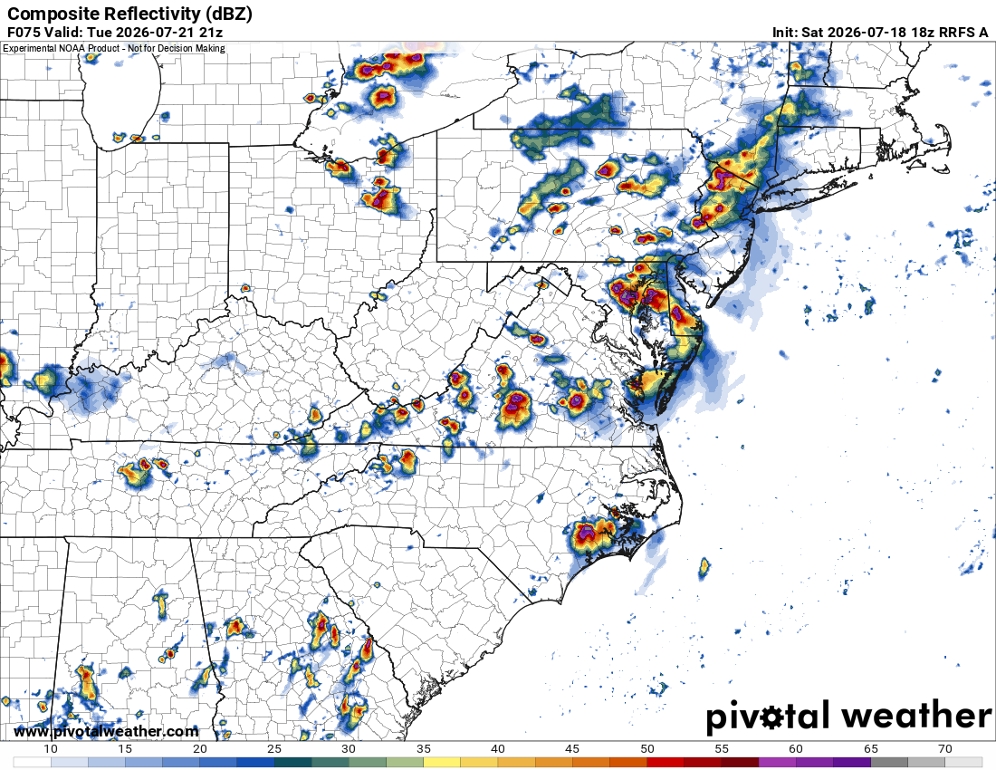
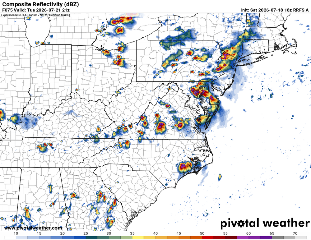
RRFS valid 21z Tue looks promising. Quite strong 500 trof for this time of year. Solid jet dynamics appear likely so supercells. Now, tor potential, that's an entirely different story and we'll have to wait until much closer to the event for things to become clear.
- 1,159 replies
-
- 1
-

-
- severe
- thunderstorms
- (and 7 more)
-
By the way, the 12Z UKMET was the 4th full run (full runs are at 0Z/12Z) that developed this into a mainly W moving full fledged TS. The last 2 runs developed it into a TD by early tomorrow morning! NEW TROPICAL CYCLONE FORECAST TO DEVELOP AFTER 18 HOURS FORECAST POSITION AT T+ 18 : 27.1N 84.9W LEAD CENTRAL MAXIMUM WIND VERIFYING TIME TIME POSITION PRESSURE (MB) SPEED (KNOTS) -------------- ---- -------- ------------- ------------- 1200UTC 19.07.2026 24 27.5N 84.9W 1010 25 0000UTC 20.07.2026 36 28.1N 85.2W 1006 28 1200UTC 20.07.2026 48 28.2N 86.0W 1004 30 0000UTC 21.07.2026 60 28.1N 86.1W 1002 33 1200UTC 21.07.2026 72 28.4N 86.1W 1000 38 0000UTC 22.07.2026 84 29.2N 86.2W 997 50 1200UTC 22.07.2026 96 29.6N 86.9W 998 51 0000UTC 23.07.2026 108 29.3N 87.8W 996 52 1200UTC 23.07.2026 120 28.9N 88.8W 999 44 0000UTC 24.07.2026 132 28.7N 90.0W 999 40 1200UTC 24.07.2026 144 29.0N 92.0W 1001 36 0000UTC 25.07.2026 156 29.3N 94.2W 1004 37 1200UTC 25.07.2026 168 CEASED TRACKING
-
July is now the wettest month since May 2025 at ewr
-
1.85” and no severe weather - I’ll call that a win for the day.
-
Approaching 2" for the day
-
Central PA Summer 2026 Discussion/Obs Thread
Blizzard of 93 replied to Voyager's topic in Upstate New York/Pennsylvania
Please no more wind damage with this…! -

E PA/NJ/DE Summer 2026 Obs/Discussion
MGorse replied to PhiEaglesfan712's topic in Philadelphia Region
More convection incoming. 0.14” so far today. Rather muggy out. 77F. -
Central PA Summer 2026 Discussion/Obs Thread
Blizzard of 93 replied to Voyager's topic in Upstate New York/Pennsylvania
Severe Thunderstorm Warning Severe Thunderstorm Warning PAC041-043-067-099-190215- /O.NEW.KCTP.SV.W.0208.260719T0131Z-260719T0215Z/ BULLETIN - IMMEDIATE BROADCAST REQUESTED Severe Thunderstorm Warning National Weather Service State College PA 931 PM EDT Sat Jul 18 2026 The National Weather Service in State College PA has issued a * Severe Thunderstorm Warning for... Cumberland County in south central Pennsylvania... Southwestern Dauphin County in south central Pennsylvania... Western Juniata County in central Pennsylvania... Perry County in south central Pennsylvania... * Until 1015 PM EDT. * At 931 PM EDT, severe thunderstorms were located along a line extending from Mexico to Spruce Hill to East Waterford, moving southeast at 35 mph. HAZARD...60 mph wind gusts. SOURCE...Radar indicated. IMPACT...Expect damage to roofs, siding, and trees. * Locations impacted include... Harrisburg, Carlisle, Lower Allen, Colonial Park, Progress, Mechanicsburg, Camp Hill, New Cumberland, Enola, Steelton, Lemoyne, and Plainfield. This includes the following Interstates... The Pennsylvania Turnpike from mile markers 205 to 239. Interstate 81 from mile markers 31 to 71. Interstate 83 from mile markers 40 to 50. Interstate 283 near mile marker 2. PRECAUTIONARY/PREPAREDNESS ACTIONS... Stay inside a well built structure and keep away from windows. Very heavy rainfall is occurring with these severe thunderstorms, and may lead to flash flooding. Do not drive your vehicle through flooded roadways. && LAT...LON 4036 7775 4038 7775 4040 7773 4045 7749 4064 7737 4029 7676 4022 7683 4022 7691 4020 7693 4019 7691 4019 7693 4016 7691 4017 7695 4015 7698 4015 7703 4003 7719 4000 7737 TIME...MOT...LOC 0131Z 313DEG 32KT 4054 7736 4041 7744 4037 7764 HAIL THREAT...RADAR INDICATED MAX HAIL SIZE...<.75 IN WIND THREAT...RADAR INDICATED MAX WIND GUST...60 MPH -
Central PA Summer 2026 Discussion/Obs Thread
TheDreamTraveler replied to Voyager's topic in Upstate New York/Pennsylvania
Yeah we just got issued a severe thunderstorm warning lol -

2026-2027 Super El Nino
michsnowfreak replied to Stormchaserchuck1's topic in Weather Forecasting and Discussion
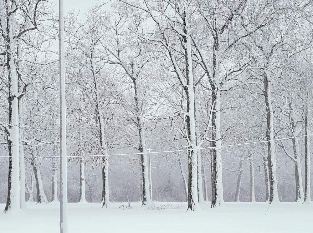
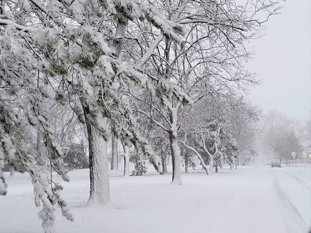
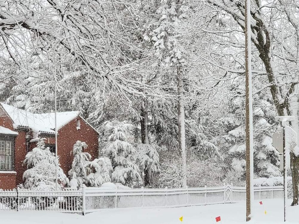
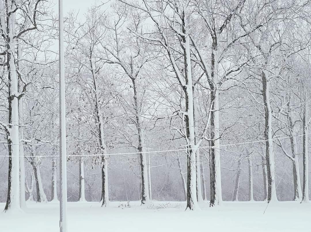
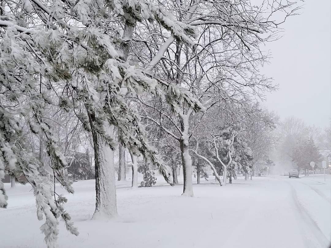
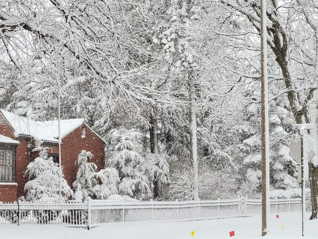
Its absolutely gorgeous. The past 2 winters here were nearly all powder. Here's the thing...powder is my absolute favorite. Its beautiful and last winter seemingly every night the snow glistened like diamonds. But I realized that even though I was getting my favorite powder, I missed a good wet snow. The winter of 2022-23 was the last time we had lots of paste snow. Below are 3 different 2023 snowstorms.