All Activity
- Past hour
-
That will be gone with next weeks update
-
All up from here. LFG
-
Kind of reminded me of April 1, 1997, too.
-
1.66 Boned again.
-
Greens are going to be a little soft tomorrow.
-
Rain totals 5/21 - 5/23 (9AM) New Brnswck: 1.75 EWR: 1.13 NYC: 1.09 JFK: 1.01 LGA: 0.79
-

2025-2026 ENSO
40/70 Benchmark replied to 40/70 Benchmark's topic in Weather Forecasting and Discussion
I know Chris was not in this camp, but I remeber when a large contigent of folks were theorizing that the favorable extra tropical Pacific last decade was a semi-permanent change due to CC, too. -
Sunscreen is horrible. Lots of crap in them. MAHA
-
Clearing line rapidly moving West to East.
-
Cool period dep EWR: 5/19: 73 / 52 (-1) 5/20: 71/50 (-3) 5/21: 59 / 50 (-10) 5/22: 53 / 50 (-13) NYC: 5/19: 69 /51 (-4) 5/20: 67 / 49 (-6) 5/21: 59 / 49 (-11) 5/21: 51 / 48 (-15) LGA: 5/19: 70 / 52 (-4) 5/20: 68 / 50 (-6) 5/21: 59 / 49 (-11) 5/21: 53 / 48 (-15) JFK: 5/19: 74 / 53 (+3) 5/20: 69 / 50 (-3) 5/21: 58 / 50 (-8) 5/21: 55 / 49 (-10)
-
2025-2026 ENSO
40/70 Benchmark replied to 40/70 Benchmark's topic in Weather Forecasting and Discussion
You mean there is a positive correlation between the equatorial Pacific waters during the summer and the subsequent winter season NAO? -
Low of 57 this morning. Love it.
-
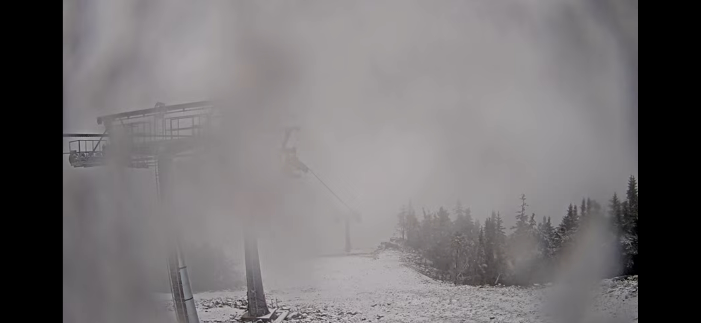
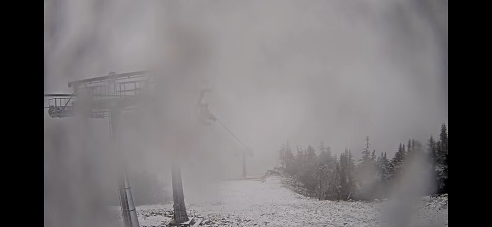
Sugarloaf and Sunday River

-
Eh, glad the lawns got another drink and we can still get a coastal storm under the right conditions. The storm also would’ve evolved differently in the winter.
-
M4.67" precip for the month. RSTM2 COOP site. Very happy to see this. The stream at the farm where we keep our horse is finally running again.
-
As of the latest update(yesterday) a small area in north central MD- much of Baltimore county and parts of Carroll and Harford- are still in a severe drought. Areas surrounding that are Moderate. Better further east- my yard is on the edge of abnormally dry, and nothing points S and E from there. But yeah there has been marked improvement in the past couple weeks. Not sure why he wouldn't be discussing that rather than being a hypester.
-
1.12” for the week, and looking forward to a perfect weather weekend.
-
Breaking 100+ year old cold records, I thought it was impossible. Shocked there were no posts about it from all the stat geeks here (not really). Almost the same here, 1.56"
-
Minneapolis v Paducah May average temperature update. MSP: 60.5 PAH: 66.4 Yesterday was our first high above 60 since the 16th. Temperatures look to stay average/slightly below average through the next week.
-
I’m going to need spf 500 on monday
-

E PA/NJ/DE Spring 2025 Obs/Discussion
JTA66 replied to PhiEaglesfan712's topic in Philadelphia Region
1.70" A little more than 9" for the month 52F -
Coastal pulling away and lingering rain into NY
-
Euro still not updating there but it is more similar to the GFS with trough still clinging to the northeast (ish) 5/30 - 6/1). Heights poised to rise in the 6/5 - beyond.
-
He couldn't say, but If I had to hazard a guess I'd think there would be some flakes flying there too.
-
Coastal low slowly pulling away in the northeast and pronounces breaks and clearing into PA. Perhaps by noon we can get into breaks of sun or better - heres hoping