All Activity
- Past hour
-

Monday, August 31 - Thursday, September 3, 2026 Convective Episodes
JACKASS replied to weatherwiz's topic in New England
Compared to your posts, I believe so. -
Mesoscale Discussion 2221 NWS Storm Prediction Center Norman OK 0519 PM CDT Thu Sep 03 2026 Areas affected...Portions of the Mid-Atlantic Concerning...Severe potential...Watch likely Valid 032219Z - 040015Z Probability of Watch Issuance...80 percent SUMMARY...Ongoing Mesoscale Convective Systems will continue to move southeast this evening. The airmass ahead of these storms remains very hot and unstable. A wind damage threat is expected to persist into the greater Washington D.C. area later this evening. As such, a new watch will likely be needed. DISCUSSION...Multiple southeast moving mesoscale convective systems (MCS) are ongoing across portions of northern/eastern Ohio and western Pennsylvania. The leading MCS is currently located across the greater Pittsburgh area, with the trailing MCS across moving across northern Ohio and southern Lake Erie. Effective layer shear across these linear MCSs is characterized by 30-40 knots, which is more than sufficient to support ongoing organization as the clusters move southeast. Additionally, the airmass ahead of these storms remains very hot and humid, with surface temperatures in the 90Fs and dewpoints in the low-to-mid 70Fs. The result is steep low-level lapse rates and MUCAPE in excess of 3000 J/kg ahead of these storms, all the way into the greater Washington D.C. area. As evening progresses and the boundary layer cools, low-level lapse rates will weaken. However, the degree of thunderstorm organization and the very unstable environment ahead of the MCSs will maintain a threat for damaging wind well into the evening hours. A new watch will likely be needed to the southeast of ongoing watches across Pennsylvania, Ohio, and West Virginia. ..Marsh/Smith.. 09/03/2026 ...Please see www.spc.noaa.gov for graphic product... ATTN...WFO...PHI...AKQ...CTP...LWX...PBZ...RLX... LAT...LON 40907856 40647769 39867645 39817644 39007592 38017562 37607609 37527666 37797754 38477871 38967941 39727985 40487948 40907856 MOST PROBABLE PEAK TORNADO INTENSITY...UP TO 90 MPH MOST PROBABLE PEAK WIND GUST...65-80 MPH MOST PROBABLE PEAK HAIL SIZE...UP TO 1.25 IN
-
Septorcher 2026 Discussion - Endless Summer
JACKASS replied to Damage In Tolland's topic in New England
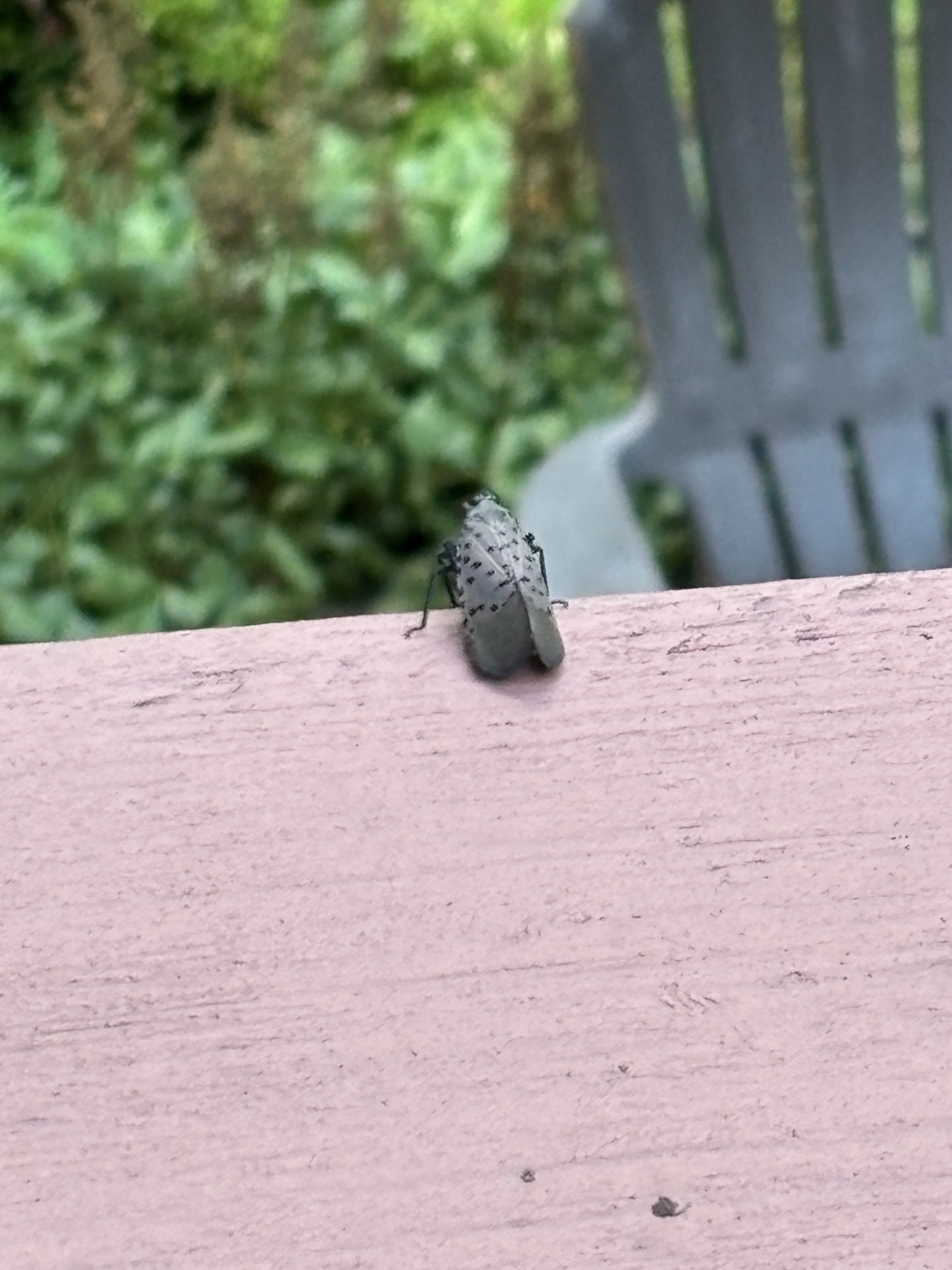
They’re just looking to move in to your house. Their face reminds me of Wes Borland’s mask. -
That’s some plains level stuff right here
- 2,437 replies
-
- 1
-

-
- severe
- thunderstorms
- (and 7 more)
-
@Eskimo Joe @high risk @Kmlwx Severe Thunderstorm Watch coming soon for the region
-
Someone got tricked. The ECMWF Seasonal forecast is a component of the Copernicus, which is an ensemble of multiple models. Now hold your ears- what we talkin about here is the Copernicus Climate Change Service (C3S). Apparently the latest edition was released on the 26th.
-

2026 Mid-Atlantic Severe Storm General Discussion
nw baltimore wx replied to Kmlwx's topic in Mid Atlantic
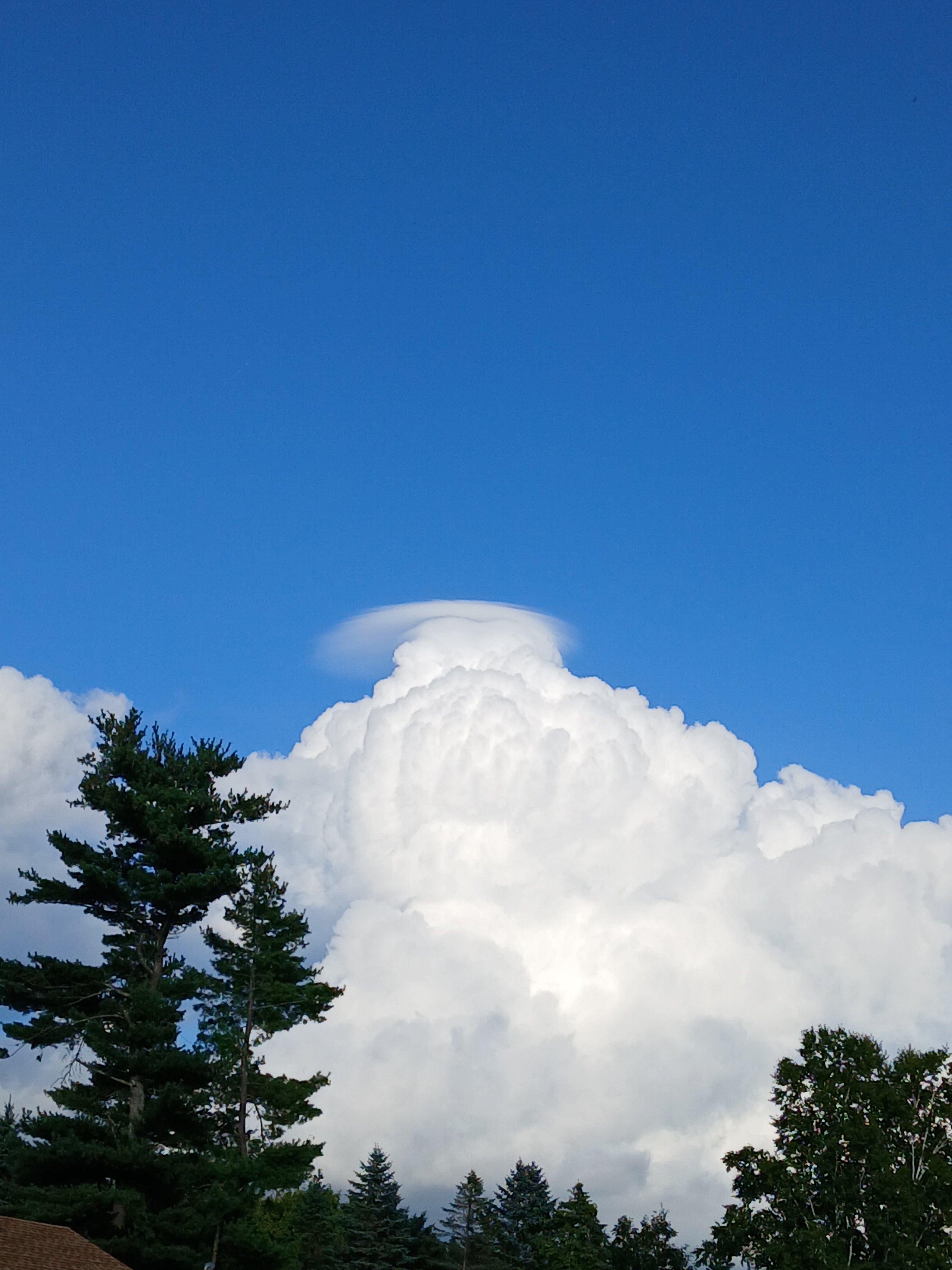
I’m on a flight now somewhere over northern Illinois but I’m on the wrong side of the plane to watch for cloud tops as we get closer to the storms. -
Things you don’t see around here lol
-

2026 Mid-Atlantic Severe Storm General Discussion
Eskimo Joe replied to Kmlwx's topic in Mid Atlantic
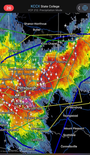
Hell of a cell merger about to go right over City of Pittsburgh. -
 Was it really exciting ?
 -
Spies, all of em! I’d lol, but there may be more truth to it than we’re willing to admit to. Never thought I’d see the day a movie would be stuck in the back of my mind every time something odd happens.
-
Septorcher 2026 Discussion - Endless Summer
Damage In Tolland replied to Damage In Tolland's topic in New England
People still get tested for the cold /Covid? -
Septorcher 2026 Discussion - Endless Summer
Damage In Tolland replied to Damage In Tolland's topic in New England
Please drill into and eat all of our Oak trees lantern fly . Tell your friends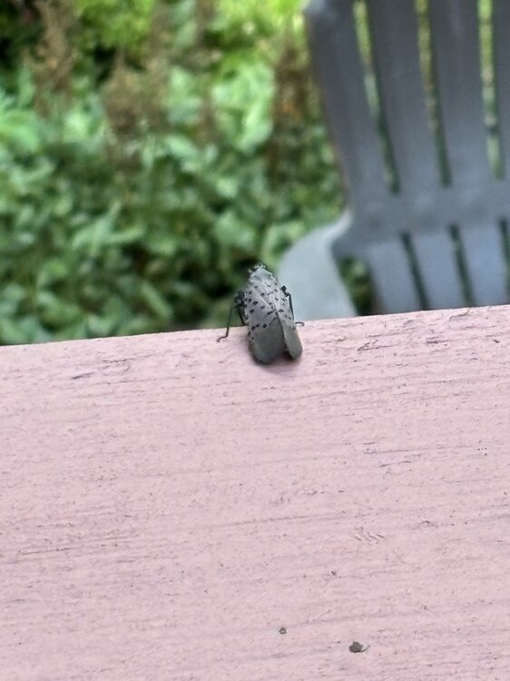
-

E PA/NJ/DE Autumn 2026 Obs/Discussion
Newman replied to PhiEaglesfan712's topic in Philadelphia Region
I think we're on the same page regarding temps and precip and the overall distribution of positive/negative anomalies. I have some reservations regarding some of the climate long range model outputs, at least what they are predicting verbatim right now. The CanSips literally follows a climo Nino winter almost to a T, and I just don't know if I want to throw all my eggs into that basket right now. I guess it's why we don't write winter forecasts in September haha, the atmosphere still has almost 3 months to respond to the current Nino + things will become more clear once wavelengths shorten and the larger Rossby wave train settles into place heading into the late fall. Unfortunately the general public doesn't care if we nail temperature and precip departure forecasts... they care about snow. And that is just so hard, almost impossible, to predict with long lead time accurately without just getting lucky. However, in general, I wouldn't be surprised if the central Appalachians, up through interior portions of the Mid-Atlantic and Northeast, finish above average in snowfall. Coastal plain, NC piedmont, etc could get close to normal once the cold gets more established into late Jan and Feb nearer to the coast. -
Septorcher 2026 Discussion - Endless Summer
JACKASS replied to Damage In Tolland's topic in New England
Nice trump combover at the top. Sure sign of failure! -
Looks like RDU made it at least to 101
-

Septorcher 2026 Discussion - Endless Summer
ineedsnow replied to Damage In Tolland's topic in New England
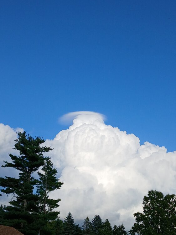
-
Septorcher 2026 Discussion - Endless Summer
ineedsnow replied to Damage In Tolland's topic in New England
I was sick for a couple weeks just fully getting better now.. still a bit of a cough but feel fine.. i went to the doctors and they just said it was something viral and alot of people had it.. tested for Covid flu and something else but all was good -

Central PA Summer 2026 Discussion/Obs Thread
Superstorm replied to Voyager's topic in Upstate New York/Pennsylvania
Here we go again. Late night boomers for many. . -
Some really nice early fall weekends coming up if models are right.
-
.thumb.jpg.6a4895b2a43f87359e4e7d04a6fa0d14.jpg)
Central PA Summer 2026 Discussion/Obs Thread
Yardstickgozinya replied to Voyager's topic in Upstate New York/Pennsylvania
The whole state of pennsylvania has 3000jkg+ to work with. -
Central PA Summer 2026 Discussion/Obs Thread
Yardstickgozinya replied to Voyager's topic in Upstate New York/Pennsylvania
I'm surprised no one posted this yet. Maybe everyone's burnout. Severe Thunderstorm Watch SEVERE THUNDERSTORM WATCH OUTLINE UPDATE FOR WS 650 NWS STORM PREDICTION CENTER NORMAN OK 435 PM EDT THU SEP 3 2026 SEVERE THUNDERSTORM WATCH 650 IS IN EFFECT UNTIL 1200 AM EDT FOR THE FOLLOWING LOCATIONS PAC001-009-013-021-023-027-033-035-037-041-043-047-055-057-061- 067-071-075-081-083-087-093-097-099-105-107-109-111-113-117-119- 123-133-040400- /O.NEW.KWNS.SV.A.0650.260903T2035Z-260904T0400Z/ PA . PENNSYLVANIA COUNTIES INCLUDED ARE ADAMS BEDFORD BLAIR CAMBRIA CAMERON CENTRE CLEARFIELD CLINTON COLUMBIA CUMBERLAND DAUPHIN ELK FRANKLIN FULTON HUNTINGDON JUNIATA LANCASTER LEBANON LYCOMING MCKEAN MIFFLIN MONTOUR NORTHUMBERLAND PERRY POTTER SCHUYLKILL SNYDER SOMERSET SULLIVAN TIOGA UNION WARREN YORK $$ -
Septorcher 2026 Discussion - Endless Summer
JACKASS replied to Damage In Tolland's topic in New England
What the hell? Haven’t heard of anyone coming down with that, in what seems like forever. Speedy recovery man!! -
incoming miss north for brian d?
-
2026 Mid-Atlantic Severe Storm General Discussion
Eskimo Joe replied to Kmlwx's topic in Mid Atlantic
Check out the left moving supercell into that line in Pittsburgh. Man SW PA is just a thunderstorm machine this summer.