All Activity
- Past hour
-
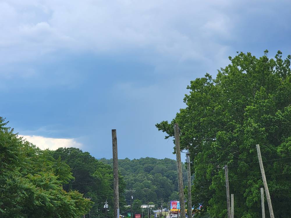
Skies just opened up.
-
It is funny how much the HHHR can swing in just an hour
-
88-89 degrees here…can I grab another storm with good rain like yesterday?
-
Torrential downpour
-
Currently sitting under that warning over here. So far lot of wind and thunder. Looks like I am right on the edge of the first cell.
-
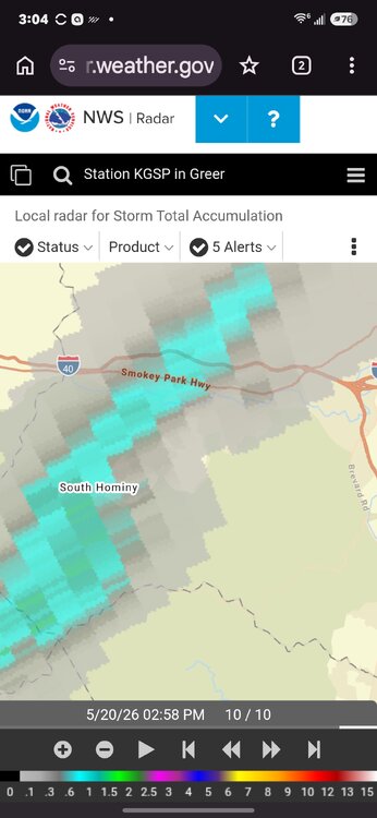
Based on radar, there’s gonna be some soggy ground in Frederick tomorrow. Florida style cells.
-
Plenty of thunder and lightning. No rain, though. Not even a drop. Just barely west of me. Looks like at least an inch on the radar estimate.
-
Clouds today capped us at 84° in Greenfield. Definitely more humid than Monday and Tuesday though.
-
Pouring fat drops out here in Stephenson
-
... Pants?
-
Classic wet microburst signature on the Loudoun County cell.
-
Radar looks aggressive for Frederick. Hearing thunder.
-
looks wrong with placement
-

Central PA Spring 2026 Discussion/Obs Thread
Voyager replied to Voyager's topic in Upstate New York/Pennsylvania
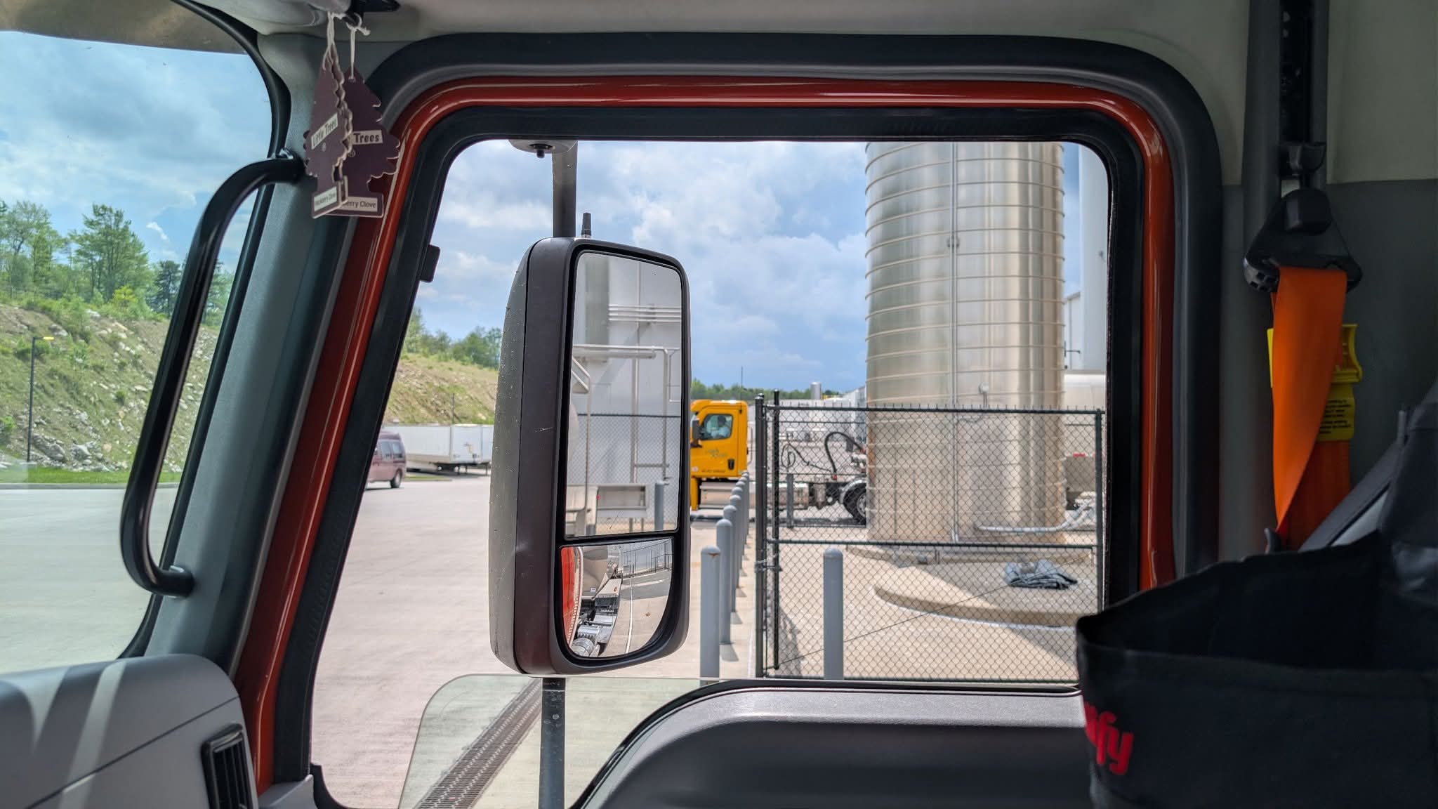
Starting to look threatening to my west. One more load to do, but I don't think I'm going to beat the storms. Probably gonna get wet either loading or unloading the last one.
-

Central PA Spring 2026 Discussion/Obs Thread
AccuChris replied to Voyager's topic in Upstate New York/Pennsylvania
Small cell growing near Palmyra . -
Central PA Spring 2026 Discussion/Obs Thread
Voyager replied to Voyager's topic in Upstate New York/Pennsylvania
Strange but yes...lol -
Boundary is through here. Skies are mostly clear, wind has picked up, and dews are dropping.
-
Visible sat is popping over N CT; Should be good to the south.
-
Second cell blasting to the SW. Sent from my SM-G998U using Tapatalk
-
HRRR has been all over the place so can probably toss that. Interesting how the 3km NAM at 12z was very similar evolution to the HRRR yesterday. There is good convergence along the shoreline so I would not be surprised if things took off a bit as the front nears
-
Thanks!
-
Few small cells ahead of the main batch but yeah, that outflow seems it is lighting things up.
-
The rain almost always moves through faster than depicted.
-
Going to be really close based on some of the modelling, HRRR does run up I-95 with it
-
The WPC with the afternoon 7 day bought the paltry GFS 1.23" and tossed the 2.47" ECM and AI. Hopefully, they are wrong.